|
Catoctin Mountain
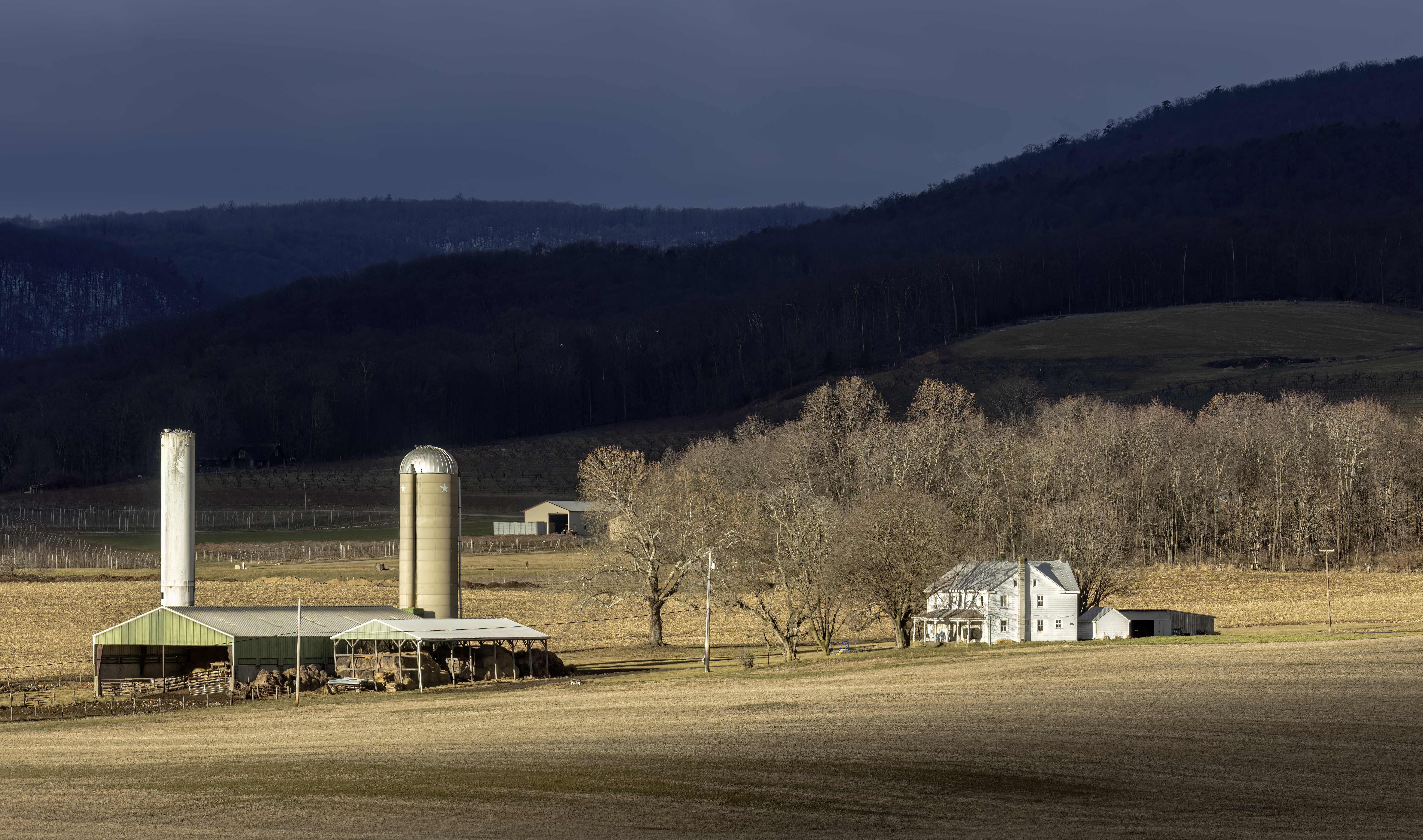
Catoctin Mountain, along with the geologically associated Bull Run Mountains, forms the easternmost mountain ridge of the Blue Ridge Mountains, which are in turn a part of the Appalachian Mountains range. The ridge runs northeast–southwest for about departing from South Mountain near Emmitsburg, Maryland, and running south past Leesburg, Virginia, where it disappears into the Piedmont in a series of low-lying hills near New Baltimore, Virginia. The ridge forms the eastern rampart of the Loudoun and Middletown valleys. Geography Catoctin Mountain traverses Frederick County, Maryland and extends into northern Loudoun County, Virginia. It rises to its greatest elevation of above sea level just southwest of Cunningham Falls State Park and is transected by gaps at Braddock Heights (Fairview Pass), Point of Rocks on the Potomac River and Clarke's Gap west of Leesburg, as well as several other unnamed passes in Maryland and Virginia. The mountain is much lower in elevati ... [...More Info...] [...Related Items...] OR: [Wikipedia] [Google] [Baidu] |
Frederick County, Maryland
Frederick County is located in Maryland, United States. As of the 2020 United States census, 2020 U.S. census, the population was 271,717. The county seat is Frederick, Maryland, Frederick. The county is part of the Washington metropolitan area, Capital region of the state. Like other outlying sections of the Washington metropolitan area, Frederick County has experienced a rapid population increase since the 1980s. It borders the southern border of Pennsylvania and the northeastern border of Virginia. Catoctin Mountain Park in the county is the location of Camp David, a U.S. presidential retreat, and Fort Detrick, a United States Army, U.S. Army base. Etymology The namesake of Frederick County and its Frederick, Maryland, county seat is unknown, but it was probably either Frederick, Prince of Wales, or Frederick Calvert, 6th Baron Baltimore. History Frederick County was created in 1748 by the Province of Maryland from parts of Prince George's County, Maryland, Prince George's ... [...More Info...] [...Related Items...] OR: [Wikipedia] [Google] [Baidu] |
Braddock Heights, Maryland
Braddock Heights is an unincorporated community and census-designated place (CDP) in Frederick County, Maryland, United States. The population was 2,608 at the 2010 census. The local ZIP codes are 21714 (post office boxes only) and 21703. History Braddock Heights is located at an elevation of atop Braddock Mountain (as Catoctin Mountain is locally known) near the pass at Braddock Springs, so named after British General Edward Braddock and Lt. Colonel George Washington's use of the mountain pass on their way to Fort Duquesne during the French and Indian War on April 29, 1755. During the Civil War, Braddock Heights was the site of a minor cavalry battle between generals J.E.B. Stuart (CSA) and Alfred Pleasonton (USA) on September 13, 1862; it was at that time known as "Fairview Pass". One mile east of Braddock Heights, near the base of Braddock Mountain, are the older communities of Clifton and Old Braddock. The picturesque view of the city of Frederick from Old Braddock ... [...More Info...] [...Related Items...] OR: [Wikipedia] [Google] [Baidu] |
Hiking Trail
A hike is a long, vigorous walk, usually on trails or footpaths in the countryside. Walking for pleasure developed in Europe during the eighteenth century. Long hikes as part of a religious pilgrimage have existed for a much longer time. "Hiking" is the preferred term in Canada and the United States; the term " walking" is used in these regions for shorter, particularly urban walks. In the United Kingdom and Ireland, the word "walking" describes all forms of walking, whether it is a walk in the park or backpacking in the Alps. The word hiking is also often used in the UK, along with rambling, hillwalking, and fell walking (a term mostly used for hillwalking in northern England). The term bushwalking is endemic to Australia, having been adopted by the Sydney Bush Walkers Club in 1927. In New Zealand a long, vigorous walk or hike is called tramping. It is a popular activity with numerous hiking organizations worldwide, and studies suggest that all forms of walking have h ... [...More Info...] [...Related Items...] OR: [Wikipedia] [Google] [Baidu] |
Catoctin Trail
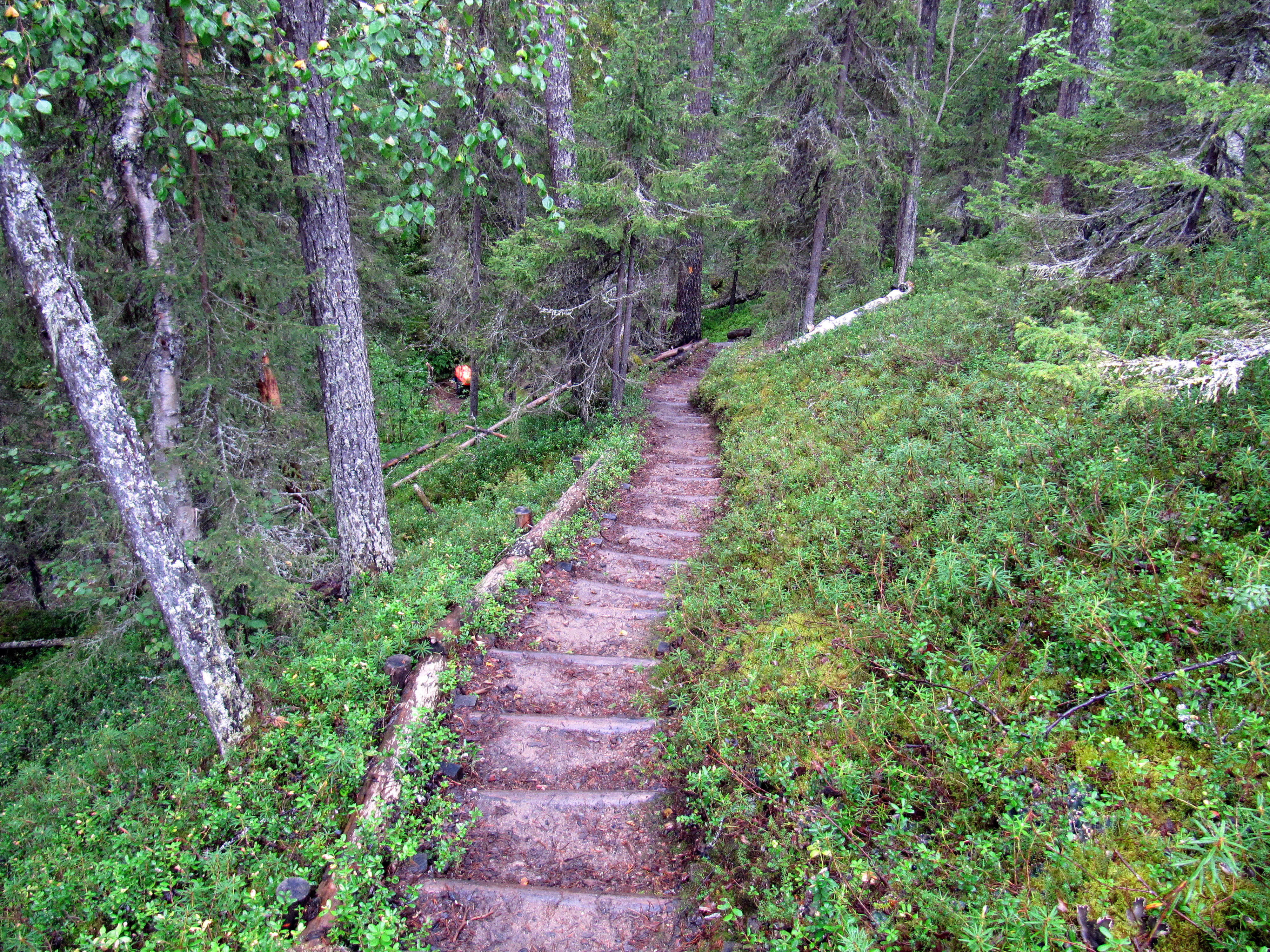
The Catoctin National Recreation Trail is a 26.6 mi (42.4 km) hiking trail that traverses federal, state, and municipal woodlands along the northern half of Catoctin Mountain in Frederick County in central Maryland, USA. The hilly terrain is typical of western Maryland with large sections canopied under dense forest cover. History Original portions of the trail were constructed in the 1930s by the Works Progress Administration and the Civilian Conservation Corps. The trail was later upgraded and completed by the Potomac Appalachian Trail Club between 1979 and 1982. In 2011, the trail was designated a National Recreation Trail. Route The trail's southern terminus begins in Gambrill State Park (GMP). The trail continues north through GMP for approximately and then leaves the park and enters the Frederick Municipal Forest (Frederick City Watershed). The trail travels north for through the Forest, staying mostly to the east of the ridge crest on the bench of the ... [...More Info...] [...Related Items...] OR: [Wikipedia] [Google] [Baidu] |
Morven Park
Morven Park is a 1,000-acre historic estate and horse park in Leesburg, Virginia, United States. Located on the grounds are the Morven Park Mansion, the Winmill Carriage Museum, formal boxwood gardens, miles of hiking and riding trails, and athletic fields. The park is also home to the Museum of Hounds and Hunting of North America with displays of art, artifacts and memorabilia about the sport of foxhunting. The Mansion, once the home of Thomas Swann, Jr., governor of Maryland after the Civil War and Westmoreland Davis, governor of Virginia during World War I, is on the National Register of Historic Places and is a Virginia Historic Landmark. The Westmoreland Davis Memorial Foundation operates Morven Park, which is a 501c3 nonprofit organization supported by contributions from donors. The world-renowned Morven Park International Equestrian Center hosts Olympic equestrians and top-level riders from around the world who come to compete in Horse Trials, Dressage, Hunter/Jumper ... [...More Info...] [...Related Items...] OR: [Wikipedia] [Google] [Baidu] |
Chesapeake And Ohio Canal National Historical Park
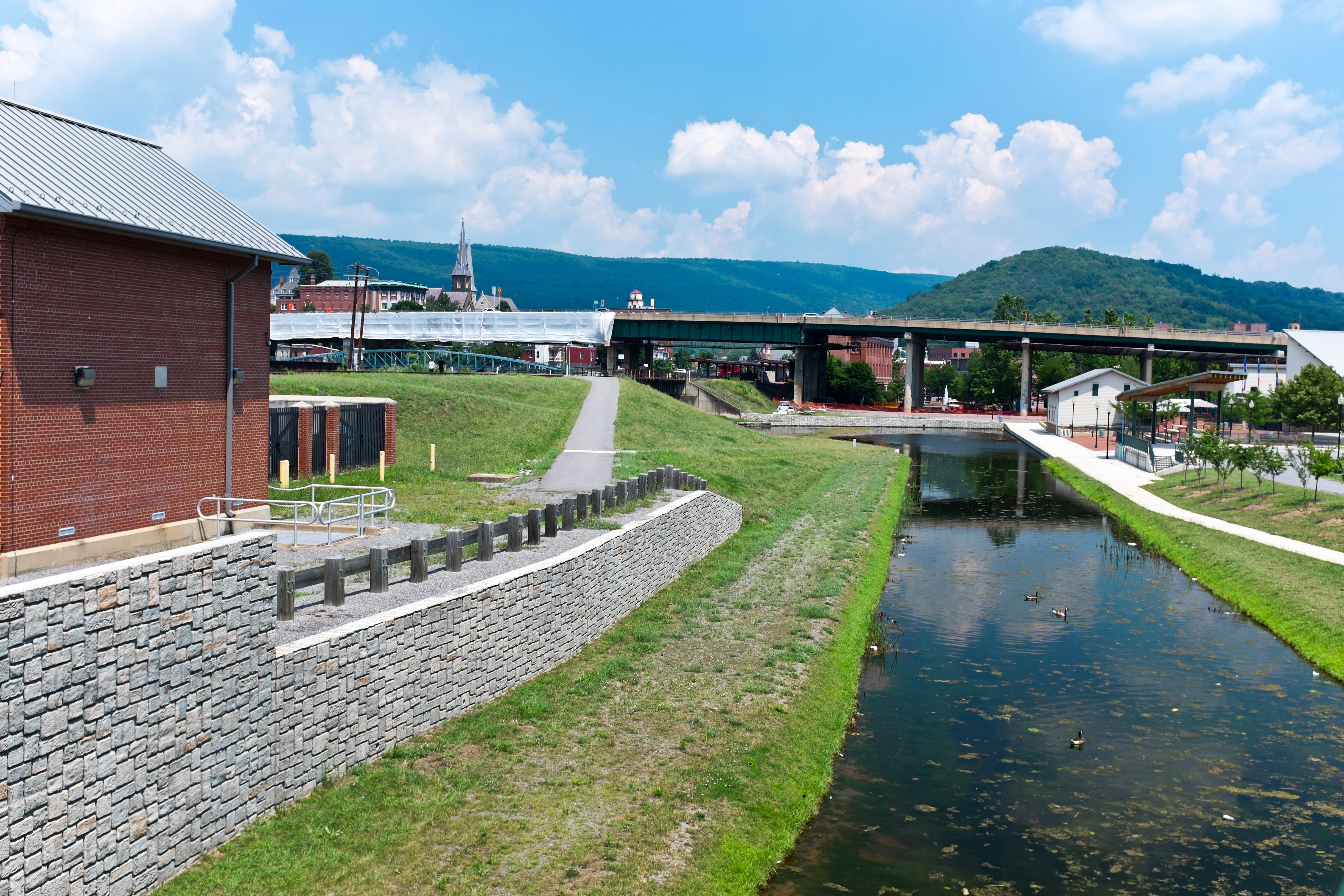
The Chesapeake and Ohio Canal National Historical Park is located in the District of Columbia and the state of Maryland. The park was established in 1961 as a National Monument by President Dwight D. Eisenhower to preserve the neglected remains of the Chesapeake and Ohio Canal and many of its original structures. The canal and towpath trail extends along the Potomac River from the Georgetown section of Washington, D.C., to Cumberland, Maryland, a distance of . In 2013, the path was designated as the first section of U.S. Bicycle Route 50. With over four million visitors in 2022, it is the most-visited unit that is designated a national historical park of the National Park Service. The Chesapeake and Ohio Canal Construction on the Chesapeake and Ohio Canal (also known as "the Grand Old Ditch" or the "C&O Canal") began in 1828 and ended in 1850 when the canal reached Cumberland, far short of its intended destination of Pittsburgh, Pennsylvania. Occasionally there was talk of ex ... [...More Info...] [...Related Items...] OR: [Wikipedia] [Google] [Baidu] |
Gambrill State Park
Gambrill State Park is a public recreation area located on Catoctin Mountain near the city of Frederick, Maryland, Frederick in Frederick County, Maryland, Frederick County, Maryland. The state park is known for the dramatic views of the surrounding area that can be seen from stone overlooks built in the 1930s by the Civilian Conservation Corps. The park is operated by the Maryland Department of Natural Resources. Location The park is approximately 51 miles (82 km) northwest of Washington, D.C., and 53 miles (85 km) west of Baltimore on Catoctin Mountain. Gambrill Park Road is located approximately six miles (10 km) away from Frederick on Route 40 West. The park road traverses Catoctin Mountain, and accesses the campground, the trailhead, and the High Knob areas of this park. History The park is named after James H. Gambrill, Jr. (1866–1951), a participant in the grain industry and in Frederick city politics, who was a conservationist and frequent visitor to Cat ... [...More Info...] [...Related Items...] OR: [Wikipedia] [Google] [Baidu] |
Catoctin Mountain Park
Catoctin Mountain Park is a park located in part of the Monocacy Valley and Catoctin Mountain ridge−range that forms the northeastern rampart of the Blue Ridge Mountains, in the Appalachian Mountains System. The park is approximately 5120 acres or in area. Catoctin Mountain Park is managed by the National Park Service, and lies north of and directly adjacent to the similarly sized Cunningham Falls State Park. History In the 1930s, after years of making charcoal to fuel nearby iron furnaces, mountain farming, and harvesting of trees for timber, land was purchased to be transformed into a productive recreation area, helping to put people back to work during the Great Depression. Beginning in 1935, the Catoctin Recreational Demonstration Area was under construction by both the Works Progress Administration and the Civilian Conservation Corps. The northern portion of the park was transferred to the National Park Service on November 14, 1936, and renamed and reorganized on Jul ... [...More Info...] [...Related Items...] OR: [Wikipedia] [Google] [Baidu] |
Aldie, Virginia
Aldie is an unincorporated community and census-designated place (CDP) located between Chantilly and Middleburg in Loudoun County, Virginia, United States. The historic village of Aldie is located on the John Mosby Highway (U.S. Route 50) in a gap between the Catoctin Mountains and Bull Run Mountains, through which the Little River flows. Aldie traditionally serves as the gateway to the Loudoun Valley and beyond. The Aldie CDP was first drawn prior to the 2020 census and comprises solely the historic village. As of 2014, the Aldie postal area (ZIP Code 20105), covering a much greater area than the CDP, had a population of 11,420 people, a 569% increase since 2000 making it one of the fastest-growing suburbs in the Washington metropolitan area and the second-fastest growing ZIP Code in Virginia. The Aldie ZIP Code 20105 has currently the highest median sales prices for houses sold in Loudoun County. As a result, the eastern part is suburbanized with numerous upscale communit ... [...More Info...] [...Related Items...] OR: [Wikipedia] [Google] [Baidu] |
Goose Creek (Potomac River)
Goose Creek is a U.S. Geological Survey. National Hydrography Dataset high-resolution flowline dataThe National Map , accessed August 15, 2011 tributary of the Potomac River in Fauquier and Loudoun Counties in Northern Virginia. It comprises the principal drainage system for the Loudoun Valley. Course Goose Creek rises somewhere near Linden in the Manassas Gap. The creek initially flows eastward down the mountain, falling in its first . Once in Loudoun, the creek continues in a northeastward direction for to the western foot of Catoctin Mountain, where it turns to the north briefly, before reaching the confluence of the North Fork and then turning to the east and cutting through a gap in the mountain. On the east side of the mountain, the creek again turns northeast, joining with the Little River. The creek flows for through central Loudoun County, reaching the Potomac just east of Leesburg, south of Harrison Island, and west of Selden Island. Goose Creek is partiall ... [...More Info...] [...Related Items...] OR: [Wikipedia] [Google] [Baidu] |
Spur (mountain)
A spur is a lateral ridge or tongue of land descending from a hill, mountain or main crest of a ridge. It can also be defined as another hill or mountain range which projects in a lateral direction from a main hill or mountain range. Examples of spurs include: * Abbott Spur, which separates the lower ends of Rutgers Glacier and Allison Glacier on the west side of the Royal Society Range in Victoria Land, Antarctica * Boott Spur, a subpeak of Mount Washington * Kaweah Peaks Ridge, a spur of the Great Western Divide, a sub-range of California's Sierra Nevada * Kelley Spur, east of Spear Spur on the south side of Dufek Massif in the Pensacola Mountains, Antarctica * Geneva Spur on Mount Everest * Sperrin Mountains in Northern Ireland Northern Ireland ( ; ) is a Countries of the United Kingdom, part of the United Kingdom in the north-east of the island of Ireland. It has been #Descriptions, variously described as a country, province or region. Northern Ireland shares Re ... [...More Info...] [...Related Items...] OR: [Wikipedia] [Google] [Baidu] |
Furnace Mountain (Virginia)
Furnace Mountain is the tallest peak of Catoctin Mountain in Loudoun County, Virginia. It rises steeply from the southern banks of the Potomac River across from Point of Rocks, Maryland and continues southward for , reaching an elevation of before falling to a gap between it and an unnamed peak of . Its name arises from the iron furnaces located at its base, which operated from the 1790s to the 1870s. The furnaces were used to process iron ore mined from the mountain, much of which was used to build the burgeoning city of Washington D.C. Washington, D.C., formally the District of Columbia and commonly known as Washington or D.C., is the capital city and federal district of the United States. The city is on the Potomac River, across from Virginia, and shares land borders with ... References *Scheel, Eugene. ''Loudoun Discovered:Communities, Corners and Crossroads.'' Vol. 2, 2002, pp. 57–59. Mountains of Loudoun County, Virginia Blue Ridge Mountains Ir ... [...More Info...] [...Related Items...] OR: [Wikipedia] [Google] [Baidu] |


