|
Castle Rock State Park (California)
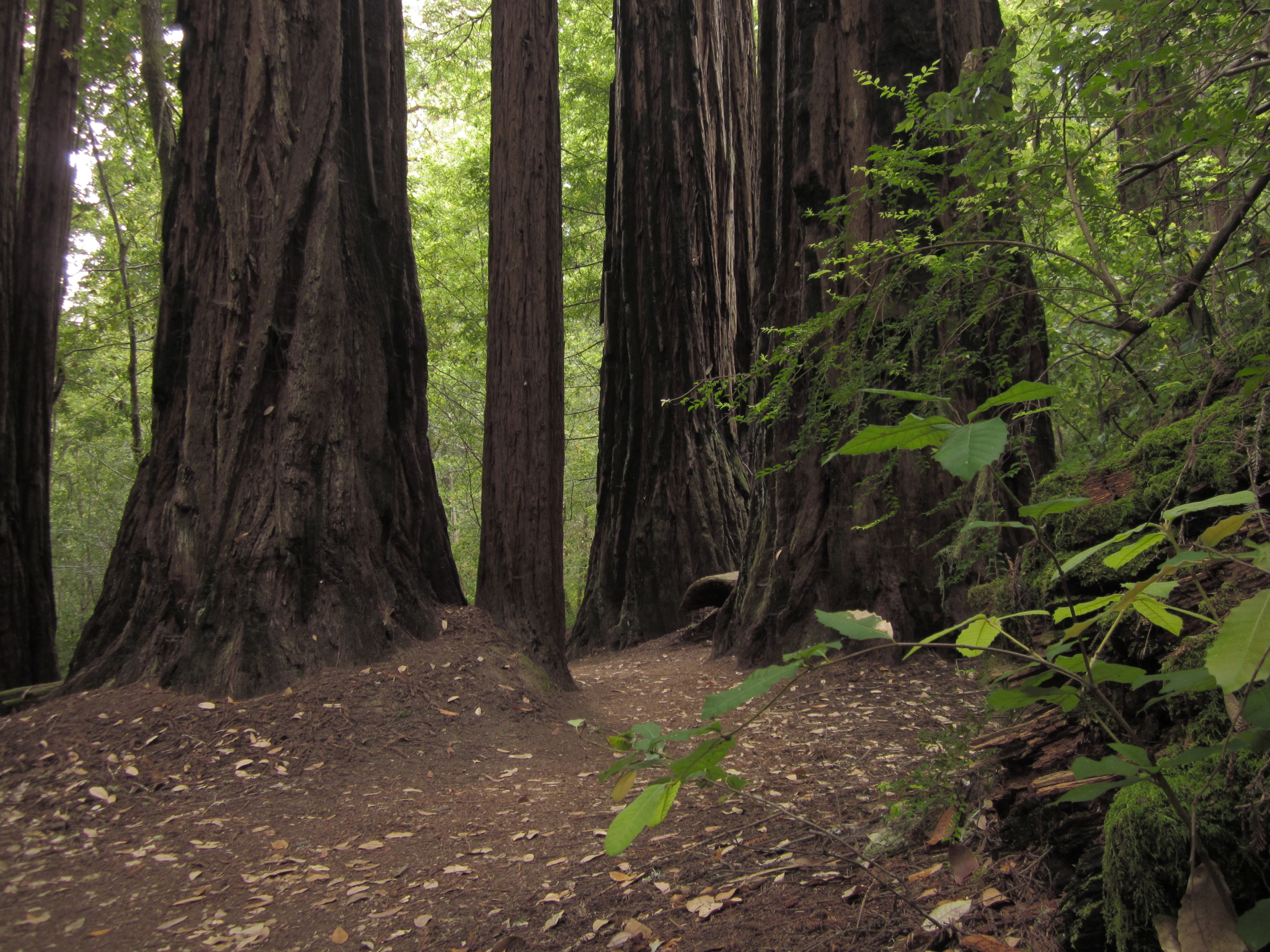
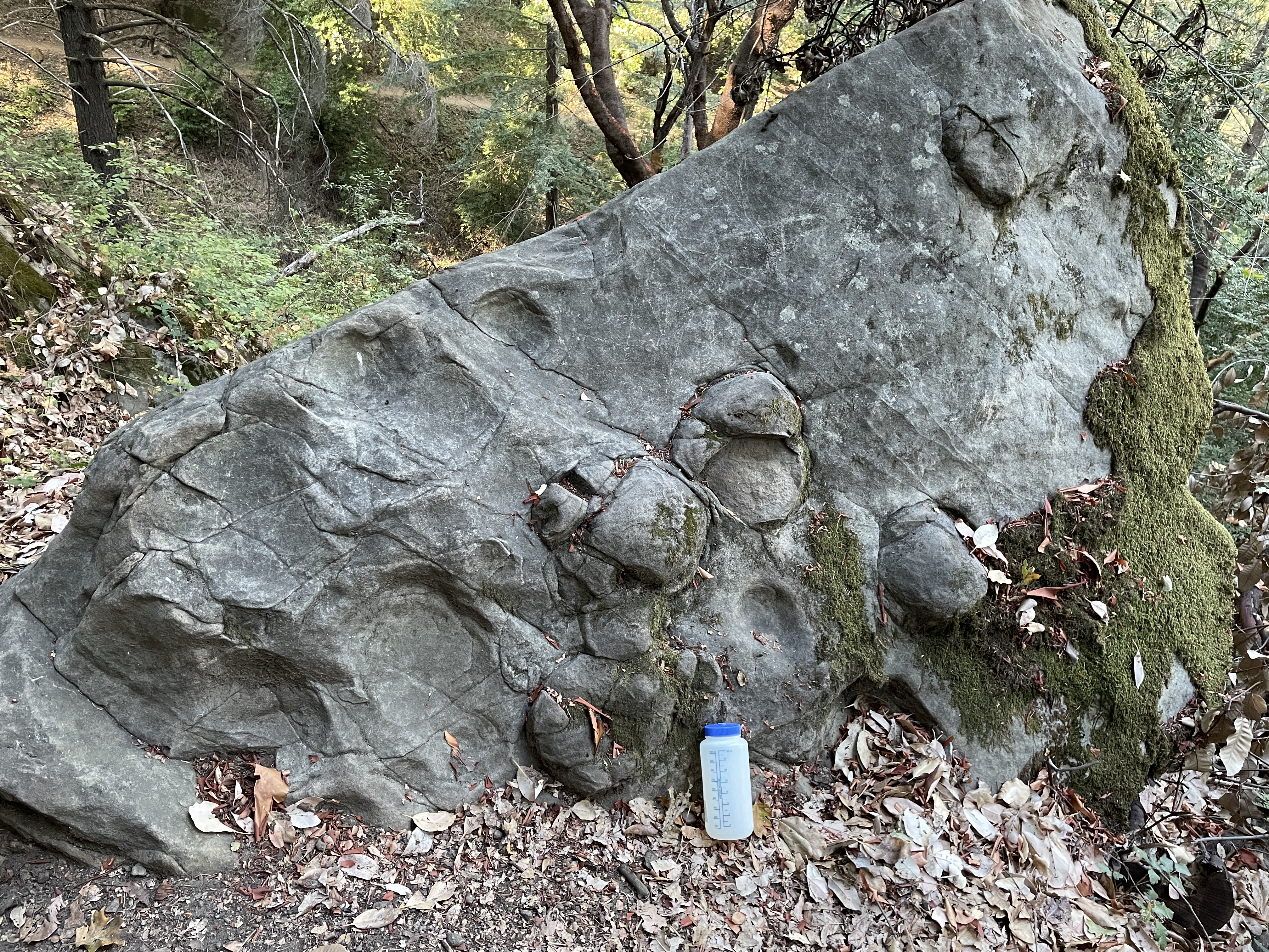
Castle Rock State Park is a state park of California, United States, located along the crest of the Santa Cruz Mountains and almost entirely in Santa Cruz County, with parts extending into Santa Clara County and San Mateo County. It embraces coast redwood, Douglas fir, and madrone forest, most of which has been left in its wild, natural state. Steep canyons are sprinkled with unusual rock formations that are a popular rock climbing area. The park is named after a sandstone formation called Castle Rock. The forest here is lush and mossy, crisscrossed by of hiking trails. These trails are part of an even more extensive trail system that links the Santa Clara and San Lorenzo valleys with Castle Rock State Park, Big Basin Redwoods State Park, and the Pacific Coast. Due to its overnight parking lot, Castle Rock is a popular starting point for the Skyline-to-the-Sea Trail, a trail that begins near by at Saratoga Gap and leads to Waddell Beach north of Santa Cruz. There are ... [...More Info...] [...Related Items...] OR: [Wikipedia] [Google] [Baidu] |
Castle Rock Park
Castle Rock Regional Recreation Area is a regional park of the East Bay Regional Park District. It is located in Contra Costa County, California, Contra Costa County, in the East Bay (San Francisco Bay Area), East Bay region of northern California. Geography The park lies in a scenic sandstone canyon in the Diablo Foothills of the northern Diablo Range, west of Mount Diablo and Mount Diablo State Park. The closest city is Walnut Creek, California, Walnut Creek to the north. Castle Rock Regional Recreation Area is bordered by: Diablo Foothills Regional Park on the west, and Shell Ridge Open Space to the north. Together, these three parks provide of parkland for visitors to enjoy. See also * * References External links *East Bay Regional Parks.org: official Castle Rock Regional Recreation Area website East Bay Regional Park District Parks in Contra Costa County, California Diablo Range {{Protected-area-stub ... [...More Info...] [...Related Items...] OR: [Wikipedia] [Google] [Baidu] |
Santa Clara Valley
The Santa Clara Valley is a geologic trough in Northern California that extends 90 miles (145 km) south–southeast from San Francisco to Hollister. The longitudinal valley is bordered on the west by the Santa Cruz Mountains and on the east by the Diablo Range; the two coastal ranges meet south of Hollister. The San Francisco Bay borders the valley to the north, and fills much of the northern third of the valley. The valley floor is an alluvial plain that formed in the graben (tectonic depression) between the San Andreas Fault to the west and the Hayward and Calaveras faults to the east. Within the valley and surrounding the bay on three sides are the urban communities of San Mateo County, Santa Clara County, and Alameda County, while the narrow southern reaches of the valley extend into rural San Benito County to Hollister. In practical terms, the central portion of the Santa Clara Valley is often considered by itself, contained entirely within Santa Clara County. Th ... [...More Info...] [...Related Items...] OR: [Wikipedia] [Google] [Baidu] |
Sempervirens Fund
Sempervirens Fund, originally established in 1900 as Sempervirens Club, is California's oldest land trust. Founder Andrew P. Hill’s goal was to preserve the old-growth forest that became Big Basin Redwoods State Park, the first California state park in 1902. Sempervirens Fund's mission is to protect and permanently preserve coast redwood (''Sequoia sempervirens'') forests, wildlife habitat, watersheds, and other important natural features of California's Santa Cruz Mountains, and to encourage people to appreciate and enjoy this environment. Sempervirens Fund does this by purchasing land for protection and transferring it to state or local agencies. Sempervirens Fund has also worked to establish conservation easements and trail linkages between parks and coastal marine preserves. As of 2013, Sempervirens Fund has saved more than 34,000 acres of redwood lands. History In 1899, San Jose photographer Andrew P. Hill was on assignment in Northern California's Santa Cruz Mountains. Hi ... [...More Info...] [...Related Items...] OR: [Wikipedia] [Google] [Baidu] |
Portola State Park
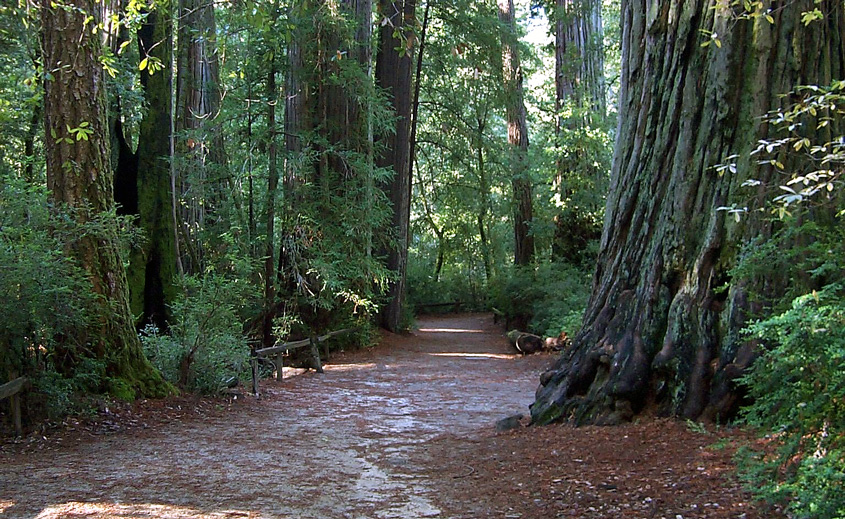
Portola Redwoods State Park is a state park in California situated in San Mateo County. The parks' primary watercourses — Peters Creek, Pescadero Creek and their associated tributaries — converge at Portola Redwoods State Park. Tip Toe Falls is a small waterfall along Fall Creek, a tributary of Pescadero Creek. The indigenous Quiroste people, affiliated with the broader constellation of Ramaytush Ohlone communities based in the San Francisco Peninsula, were among the original inhabitants of Portola Redwoods State Park, where they obtained various species of fish, such as coho salmon and steelhead trout, along the waterways that wend along the region, and harvested asphaltum from Tar Creek. In addition, the Quiroste maintained trading networks with tribes further inland and exchanged a variety of coastal products, including beads cultivated from ''Olivella'' sea shells as a means of barter. In 1769, the Portola expedition entailed an overland journey from the Pacific coa ... [...More Info...] [...Related Items...] OR: [Wikipedia] [Google] [Baidu] |
Jerry Brown
Edmund Gerald Brown Jr. (born April 7, 1938) is an American lawyer, author, and politician who served as the 34th and 39th governor of California from 1975 to 1983 and 2011 to 2019. A member of the Democratic Party, he was elected Secretary of State of California in 1970; Brown later served as Mayor of Oakland from 1999 to 2007 and Attorney General of California from 2007 to 2011. He was both the oldest and sixth-youngest governor of California due to the 28-year gap between his second and third terms. Upon completing his fourth term in office, Brown became the fourth longest-serving governor in U.S. history, serving 16 years and 5 days in office. Born in San Francisco, he is the son of Bernice Layne Brown and Pat Brown, who was the 32nd Governor of California (1959–1967). After graduating from the University of California, Berkeley and Yale University, he practiced law and began his political career as a member of the Los Angeles Community College District Board of Trustee ... [...More Info...] [...Related Items...] OR: [Wikipedia] [Google] [Baidu] |
Sanborn County Park
Sanborn County Park is a 3,453 acre (13.97 km2) county park situated in the Santa Cruz Mountains, managed by the Santa Clara County Parks and Recreation Department. The deeply forested park features over 15 miles of trails, second-growth redwoods, and creeks that flow year-round. It offers hiking, RV camping, walk-in campsites, and picnicking/BBQ sites. In the summer months, Sanborn County Park hosts the only outdoor Shakespearean company in Silicon Valley. The park is located four miles west of the town of Saratoga and straddles the steep slopes of the Santa Cruz Mountains from Sanborn Road all the way up to Skyline Boulevard. Adjacent properties include the Walden West Environmental Education Center, Castle Rock State Park, the Los Altos Rod and Gun Club Range and the Santa Clara County Peace Officers Association gun range. Practical information The park is open year-round, although there is no entry after sunset. Sanborn County Park is located on Sanborn Road. From the ci ... [...More Info...] [...Related Items...] OR: [Wikipedia] [Google] [Baidu] |
California State Route 9
State Route 9 (SR 9) is a rural and mountainous state highway in the U.S. state of California that travels from SR 1 in Santa Cruz to SR 17 in Los Gatos, passing through the San Lorenzo Valley and the Saratoga Gap in the Santa Cruz Mountains. Route description SR 9 begins in the city of Santa Cruz where River Street intersects with SR 1. It heads north, paralleling the San Lorenzo River. The road is a winding two-lane road for the majority of its length until it approaches Fruitvale Avenue in Saratoga. SR 9 winds through the mountains north of Santa Cruz, passing through the communities of Paradise Park, Felton, Ben Lomond, Brookdale, and Boulder Creek, where State Route 236 departs from SR 9 to provide access to Big Basin Redwoods State Park. SR 236 later rejoins SR 9 near Castle Rock State Park. At the summit of the Santa Cruz mountains (the junction with SR 35 and after a steep climb), there is a vista point offering a (somewhat obstructed) view of the Bay Ar ... [...More Info...] [...Related Items...] OR: [Wikipedia] [Google] [Baidu] |
California State Route 35
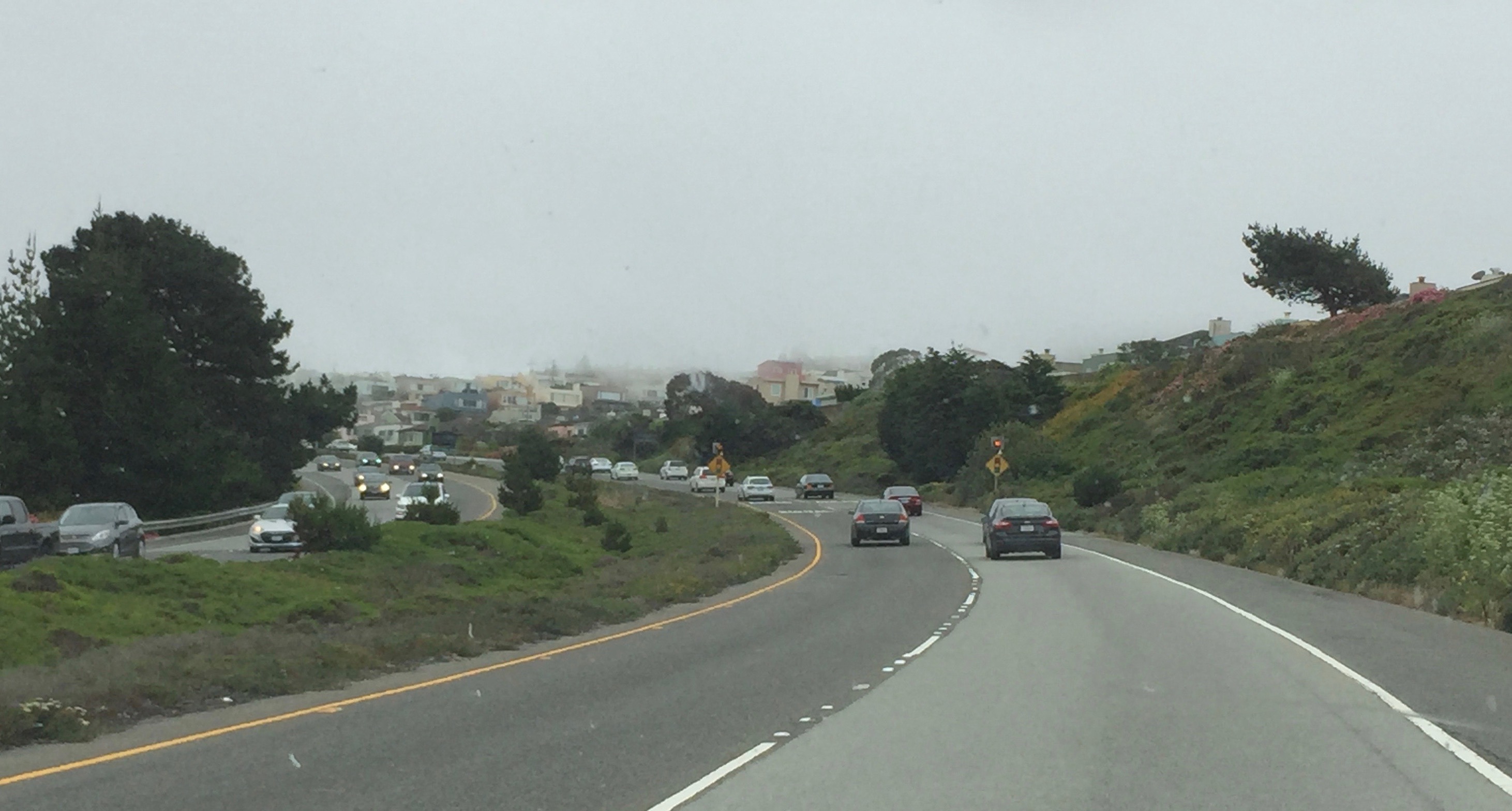
State Route 35 (SR 35), generally known as Skyline Boulevard for most of its length, is a mostly two-lane state highway in the U.S. state of California. It runs along the ridge of the Santa Cruz Mountains from the high point of State Route 17 near Lexington Reservoir in Santa Clara County to State Route 1 just south of Daly City in San Mateo County, where it crosses SR 1 and loops around Lake Merced to become Sloat Boulevard in San Francisco. SR 35 then continues along Sloat Boulevard until it reaches its terminus when it meets SR 1 again at 19th Avenue. Because of its high elevation and location, it is one of the few places on the southern portion of the San Francisco Peninsula from which the San Francisco Bay and the Pacific Ocean are both visible at the same time. It also provides scenic views of the Silicon Valley metropolitan area. It was originally designated State Route 5 (SR 5), but this had to be changed with the creation of Interstate 5 (I-5) in 1964 to a ... [...More Info...] [...Related Items...] OR: [Wikipedia] [Google] [Baidu] |
Backpacking (wilderness)
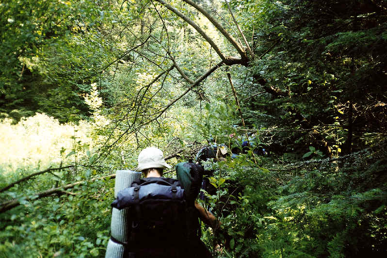
Backpacking is the outdoor recreation of carrying gear on one's back, while hiking for more than a day. It is often an extended journey, and may involve camping outdoors. In North America tenting is common, where simple shelters and mountain huts, widely found in Europe, are rare. In New Zealand, hiking is called tramping and tents are used alongside a nationwide network of huts. Hill walking is an equivalent in Britain (but this can also refer to a day walk), though backpackers make use of a variety of accommodation, in addition to camping. Backpackers use simple huts in South Africa. Trekking and bushwalking are other words used to describe such multi-day trips. Backpacking as a method of travel is a different activity, which mainly uses public transport during a journey which can last months. Definition Backpacking is an outdoor recreation where gear is carried in a backpack. This can include food, water, bedding, shelter, clothing, stove, and cooking kit. Given that ... [...More Info...] [...Related Items...] OR: [Wikipedia] [Google] [Baidu] |
Santa Cruz, California
Santa Cruz ( Spanish for "Holy Cross") is the county seat and largest city of Santa Cruz County, in Northern California. As of the 2020 census, the city population was 62,956. Situated on the northern edge of Monterey Bay, Santa Cruz is a popular tourist destination, owing to its beaches, surf culture, and historic landmarks. Santa Cruz was founded by the Spanish in 1791, when Fermín de Lasuén established Mission Santa Cruz. Soon after, a settlement grew up near the mission called Branciforte, which came to be known across Alta California for its lawlessness. With the Mexican secularization of the Californian missions in 1833, the former mission was divided and granted as rancho grants. Following the American Conquest of California, Santa Cruz eventually incorporated as a city in 1866. The creation of the Santa Cruz Beach Boardwalk in 1907 solidified the city's status as a seaside resort community, while the establishment of the University of California, Santa Cruz in ... [...More Info...] [...Related Items...] OR: [Wikipedia] [Google] [Baidu] |
Saratoga Gap Open Space Preserve
Saratoga Gap Open Space Preserve is a 1540-acre regional park located near Saratoga Gap in the Santa Cruz Mountains of Santa Clara County, California. The preserve is owned and operated by the Midpeninsula Regional Open Space District. The preserve contains about 2 miles (3 km) of hiking trails, which are open to equestrians and bicycles. Saratoga Gap contains elements of the Bay Area Ridge Trail, a large and partially complete regional trail. The preserve is forested with oak and evergreen trees. References See also * Big Basin Redwoods State Park * Boulder Creek, California * Castle Rock State Park * Saratoga, California Saratoga is a city in Santa Clara County, California. Located in Silicon Valley, in the southern Bay Area, its population was 31,051 at the 2020 census. Saratoga is an affluent residential community, known for its wineries, restaurants, and attra ... Midpeninsula Regional Open Space District Protected areas of Santa Clara County, California Prot ... [...More Info...] [...Related Items...] OR: [Wikipedia] [Google] [Baidu] |
Skyline-to-the-Sea Trail
The Skyline-to-the-Sea Trail is a 29.5-mile (47.2-kilometre) hiking trail that descends from the ridge of the Santa Cruz Mountains in California to the Pacific Ocean, passing through Castle Rock State Park and Big Basin Redwoods State Park. Big Basin is California's oldest state park. It contains beautiful waterfalls and some of the largest, tallest, and oldest Redwood forests left in existence. After the August 2020 CZU Lightning Complex fires, the trail closed, along with much of Big Basin Redwoods State Park. As of December 2021, the trail remains closed and its future is unclear. The trail usually takes two to three days to complete, with nearly all thru-hikers traveling from East to West (towards the ocean). It is possible to walk the entire trail in one day, though this is unusual and very difficult. However, there is a 50-km (31-mi) ultra running race held on this trail one or two times per year. Many hikers like to take a detour up Berry Creek Trail to see the water ... [...More Info...] [...Related Items...] OR: [Wikipedia] [Google] [Baidu] |
.jpg)

.jpg)
