|
Cascade Lake (California)
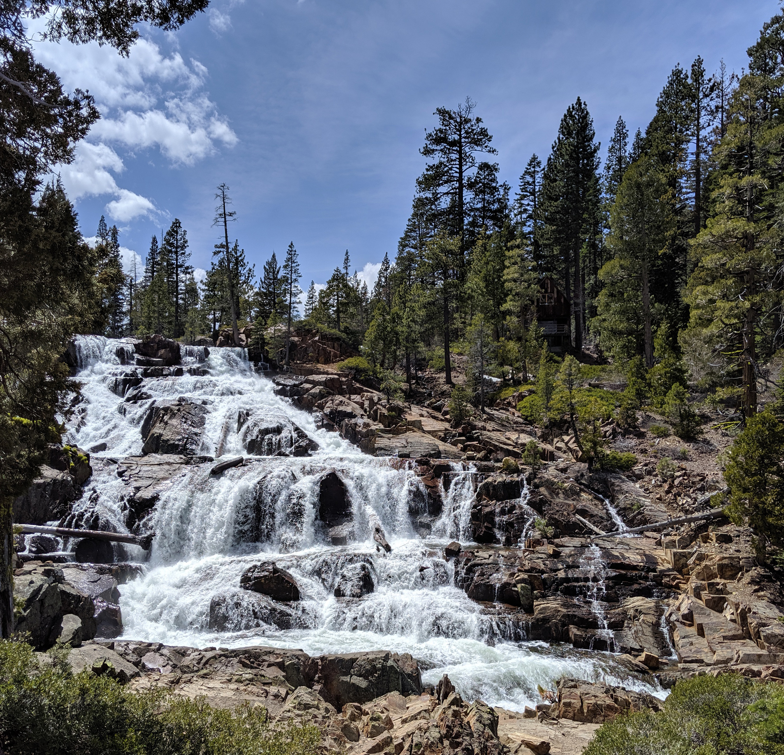
Cascade Lake is a glacial lake located in El Dorado County, California approximately from Lake Tahoe. Cascade Lake is the second largest tributary lake feeding into Lake Tahoe. Its depth is , long and wide. The lake is also within three to four miles from its neighboring lake, Fallen Leaf Lake, and Emerald Bay. Natural history Lake formation Cascade lake was formed from a mountain glacier that carved out a basin and while it traveled to Lake Tahoe, the glacier deposited debris to form a lateral moraine that separates the two lakes. Tributaries Cascade Lake mainly obtains water from Cascade Creek that is sourced from several snow melt lakes within the Desolation Wilderness such as Snow Lake, Azure Lake, Kalmia Lake, and Tallac Lake. Outflow from Cascade Lake flows through Cascade Creek into Lake Tahoe. Human history Before settlers established cabins within the area of Cascade Lake, the Washoe tribe utilized the environment of Cascade Lake. For many years, the Washoe ... [...More Info...] [...Related Items...] OR: [Wikipedia] [Google] [Baidu] |
El Dorado County, California
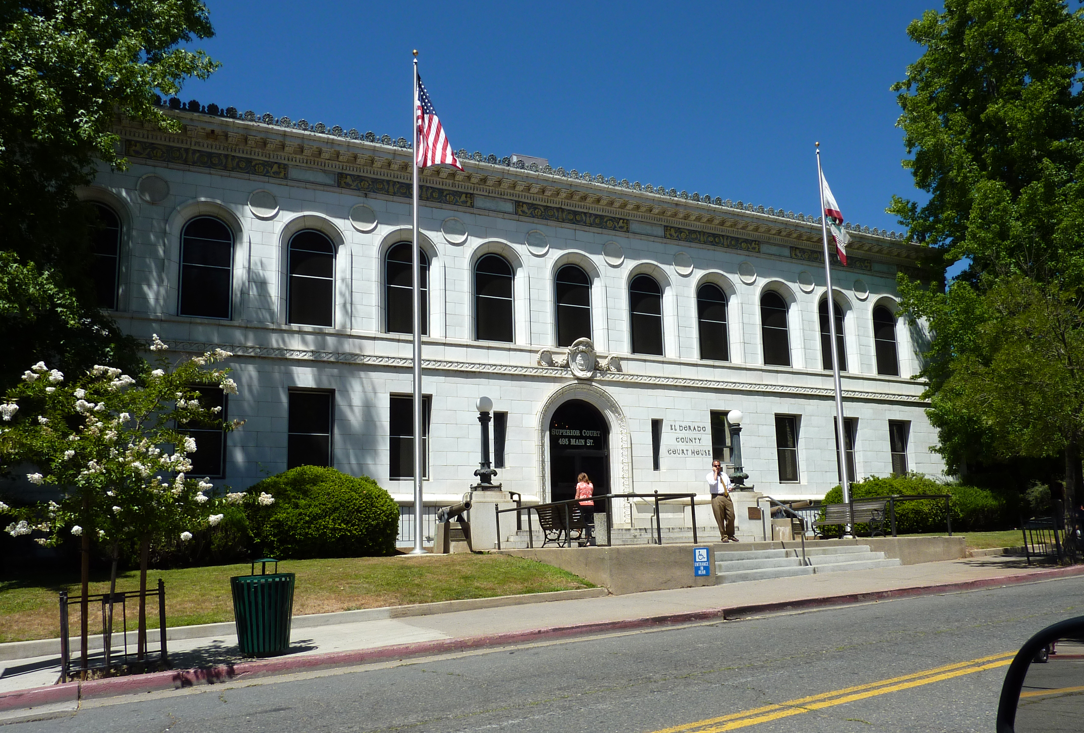
El Dorado County (), officially the County of El Dorado, is a county located in the U.S. state of California. As of the 2020 census, the population was 191,185. The county seat is Placerville. The County is part of the Sacramento-Roseville- Arden-Arcade, CA Metropolitan Statistical Area. It is located entirely in the Sierra Nevada, from the historic Gold Country in the western foothills to the High Sierra in the east. El Dorado County's population has grown as Greater Sacramento has expanded into the region. Where the county line crosses US 50 at Clarksville, the distance to Sacramento is 15 miles. In the county's high altitude eastern end at Lake Tahoe, environmental awareness and environmental protection initiatives have grown along with the population since the 1960 Winter Olympics, hosted at the former Squaw Valley Ski Resort in neighboring Placer County. History What is now known as El Dorado County has been home to the Maidu, Nisenan, Washoe, and Miwok Ind ... [...More Info...] [...Related Items...] OR: [Wikipedia] [Google] [Baidu] |
Glacial Lake
A glacial lake is a body of water with origins from glacier activity. They are formed when a glacier erodes the land and then melts, filling the depression created by the glacier. Formation Near the end of the last glacial period, roughly 10,000 years ago, glaciers began to retreat. A retreating glacier often left behind large deposits of ice in hollows between drumlins or hills. As the ice age ended, these melted to create lakes. This is apparent in the Lake District in Northwestern England where post-glacial sediments are normally between 4 and 6 metres deep. These lakes are often surrounded by drumlins, along with other evidence of the glacier such as moraines, eskers and erosional features such as striations and chatter marks. These lakes are clearly visible in aerial photos of landforms in regions that were glaciated during the last ice age. The formation and characteristics of glacial lakes vary between location and can be classified into glacial erosion lake, i ... [...More Info...] [...Related Items...] OR: [Wikipedia] [Google] [Baidu] |
Lake Tahoe
Lake Tahoe (; was, Dáʔaw, meaning "the lake") is a freshwater lake in the Sierra Nevada of the United States. Lying at , it straddles the state line between California and Nevada, west of Carson City. Lake Tahoe is the largest alpine lake in North America, and at it trails only the five Great Lakes as the largest by volume in the United States. Its depth is , making it the second deepest in the United States after Crater Lake in Oregon (). The lake was formed about two million years ago as part of the Lake Tahoe Basin, and its modern extent was shaped during the ice ages. It is known for the clarity of its water and the panorama of surrounding mountains on all sides. The area surrounding the lake is also referred to as Lake Tahoe, or simply Tahoe. More than 75% of the lake's watershed is national forest land, covered by the Lake Tahoe Basin Management Unit of the United States Forest Service. Lake Tahoe is a major tourist attraction in both Nevada and California. ... [...More Info...] [...Related Items...] OR: [Wikipedia] [Google] [Baidu] |
Fallen Leaf Lake
Fallen Leaf Lake is a mountain lake located in El Dorado County, California, near the California–Nevada state border, about one mile south west of the much larger Lake Tahoe. It is approximately aligned north-to-south and oval in shape, measuring approximately 2.9 miles (4.6 km) on the long axis and 0.9 miles (1.4 km) on the short axis. The lake was created by at least two glaciers that traveled northward down the Glen Alpine Valley. If the glacier had continued instead of stopping, Fallen Leaf Lake would be a bay of Lake Tahoe, similar to nearby Emerald Bay State Park, Emerald Bay. A terminal moraine is visible at the north end of the lake on the northeast edge. Surrounding land Fallen Leaf Lake is located within the National Forest System lands managed by the Lake Tahoe Basin Management Unit, adjacent to El Dorado County. The land surrounding the lake is privately owned, leased from the U.S. Forest Service, and part of the Lake Tahoe Basin Management Unit. Like s ... [...More Info...] [...Related Items...] OR: [Wikipedia] [Google] [Baidu] |
Emerald Bay State Park
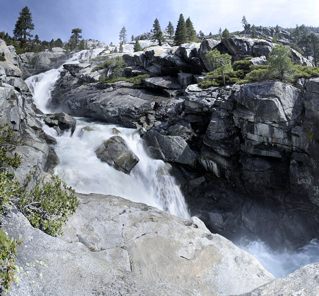
Emerald Bay State Park is a state park of California in the United States, centered on Lake Tahoe's Emerald Bay, a National Natural Landmark. Park features include Eagle Falls trailhead, Eagle Falls and Vikingsholm, a 38-room mansion that is considered one of the finest examples of Scandinavian architecture in the United States. The architect was Leonard Palme, who was hired by his aunt Laura Knight to design and build Vikingsholm. The park contains the only island in Lake Tahoe, Fannette Island. The park is accessible by California State Route 89 near the southwest shore of the lake. Emerald Bay is one of Lake Tahoe's most photographed and popular locations. In 1969 Emerald Bay was recognized as a National Natural Landmark by the federal U.S. Department of the Interior, Department of the Interior. In 1994 California State Parks included the surrounding water of the bay as a part of the park, making Emerald Bay one of the first underwater parks of its type in the state, protectin ... [...More Info...] [...Related Items...] OR: [Wikipedia] [Google] [Baidu] |
Lateral Moraine
A moraine is any accumulation of unconsolidated debris (regolith and rock), sometimes referred to as glacial till, that occurs in both currently and formerly glaciated regions, and that has been previously carried along by a glacier or ice sheet. It may consist of partly rounded particles ranging in size from boulders (in which case it is often referred to as boulder clay) down to gravel and sand, in a groundmass of finely-divided clayey material sometimes called glacial flour. Lateral moraines are those formed at the side of the ice flow, and terminal moraines were formed at the foot, marking the maximum advance of the glacier. Other types of moraine include ground moraines (till-covered areas forming sheets on flat or irregular topography) and medial moraines (moraines formed where two glaciers meet). Etymology The word ''moraine'' is borrowed from French , which in turn is derived from the Savoyard Italian ("mound of earth"). ''Morena'' in this case was derived from Prove ... [...More Info...] [...Related Items...] OR: [Wikipedia] [Google] [Baidu] |
Desolation Wilderness
The Desolation Wilderness is a federally protected wilderness area in the Eldorado National Forest and Lake Tahoe Basin Management Unit, in El Dorado County, California. The crest of the Sierra Nevada runs through it, just west of Lake Tahoe. History Before European settlement in the mid-19th century, there is evidence this area was used by the Washoe. After, it was known at times as "Devil's Valley," and most often used for cattle grazing. By the end of that century, the first formal step to limiting its development when it was made a Forest Reserve, managed first by the General Land Office, and later, by the US Forest Service. It was set aside as the Desolation Valley Primitive Area in 1931 with an area of . In 1969, it became the Desolation Wilderness after the passage of the Wilderness Act of 1964.Godfrey, Anthony. ''The Ever-Changing View-A History of the National Forests in California''. USDA Forest Service Publishers, 2005. p. 445. Access Desolation is a popular ba ... [...More Info...] [...Related Items...] OR: [Wikipedia] [Google] [Baidu] |
Washoe People
The Washoe or Wašišiw ("people from here", or transliterated in older literature as ''Wa She Shu'') are a Great Basin tribe of Native Americans, living near Lake Tahoe at the border between California and Nevada. The name "Washoe" or "Washo" (as preferred by themselves) is derived from the autonym ''Waashiw'' (''wa·šiw'' or ''wá:šiw'') in the Washo language or from ''Wašišiw'' (''waší:šiw''), the plural form of wašiw. Territory Washoe people have lived in the Great Basin and the eastern Sierra Nevada mountains for at least the last 6,000 years,Pritzker 246 some say up to 9,000 years. Prior to contact with Europeans, the territory of the Washoe people centered around Lake Tahoe (; Washo: ''dáʔaw / daʔaw / Da ow'' – "the lake"; or ''dewʔá:gaʔa /dawʔa:gaʔa / Da ow aga'' – "edge of the lake") and was roughly bounded by the southern shore of Honey Lake in the north, the West Walker River, Topaz Lake, and Sonora Pass in the south, the Sierra Nevada cre ... [...More Info...] [...Related Items...] OR: [Wikipedia] [Google] [Baidu] |
Paiute War
Paiute (; also Piute) refers to three non-contiguous groups of indigenous peoples of the Great Basin. Although their languages are related within the Numic group of Uto-Aztecan languages, these three groups do not form a single set. The term "Paiute" does not refer to a single, unique, unified group of Great Basin tribes, but is a historical label comprising: * Northern Paiute people of northeastern California, northwestern Nevada, eastern Oregon, and southern Idaho * Southern Paiute people of northern Arizona, southern Nevada, and southwestern Utah * Mono people The Mono ( ) are a Native American people who traditionally live in the central Sierra Nevada, the Eastern Sierra (generally south of Bridgeport), the Mono Basin, and adjacent areas of the Great Basin. The Eastern mono is often grouped under ... of east central California, divided into Owens Valley Paiute (Eastern Mono) and Western Mono (Monache) {{Authority control ... [...More Info...] [...Related Items...] OR: [Wikipedia] [Google] [Baidu] |
Paiute
Paiute (; also Piute) refers to three non-contiguous groups of indigenous peoples of the Great Basin. Although their languages are related within the Numic group of Uto-Aztecan languages, these three groups do not form a single set. The term "Paiute" does not refer to a single, unique, unified group of Great Basin tribes, but is a historical label comprising: * Northern Paiute people of northeastern California, northwestern Nevada, eastern Oregon, and southern Idaho * Southern Paiute people The Southern Paiute people are a tribe of Native Americans who have lived in the Colorado River basin of southern Nevada, northern Arizona, and southern Utah. Bands of Southern Paiute live in scattered locations throughout this territory and ha ... of northern Arizona, southern Nevada, and southwestern Utah * Mono people of east central California, divided into Owens Valley Paiute (Eastern Mono) and Western Mono (Monache) {{Authority control ... [...More Info...] [...Related Items...] OR: [Wikipedia] [Google] [Baidu] |
Lucky Baldwin
Elias Jackson "Lucky" Baldwin (April 3, 1828 – March 1, 1909) was "one of the greatest pioneers" of California business, an investor, and real estate speculator during the second half of the 19th century. He earned the nickname "Lucky" Baldwin due to his extraordinary good fortune in a number of business deals. He built the luxury Baldwin Hotel and Theatre in San Francisco and bought vast tracts of land in Southern California, where a number of places and neighborhoods are named after him. Early life Baldwin was born in Hamilton, Ohio, in 1828, the fourth of 14 children. The family moved to a farm in Indiana in 1834, when he was 6. Throughout his childhood he was known as a wanderer and adventurer. Baldwin received little formal education but was known as a strong-willed, independent individual. At age 18, he eloped with a neighbor girl named Sarah Ann Unruh and returned home to farm and train horses. He and his wife looked for more prosperous way to make a living and they mo ... [...More Info...] [...Related Items...] OR: [Wikipedia] [Google] [Baidu] |


