|
Cartier-Brébeuf National Historic Site
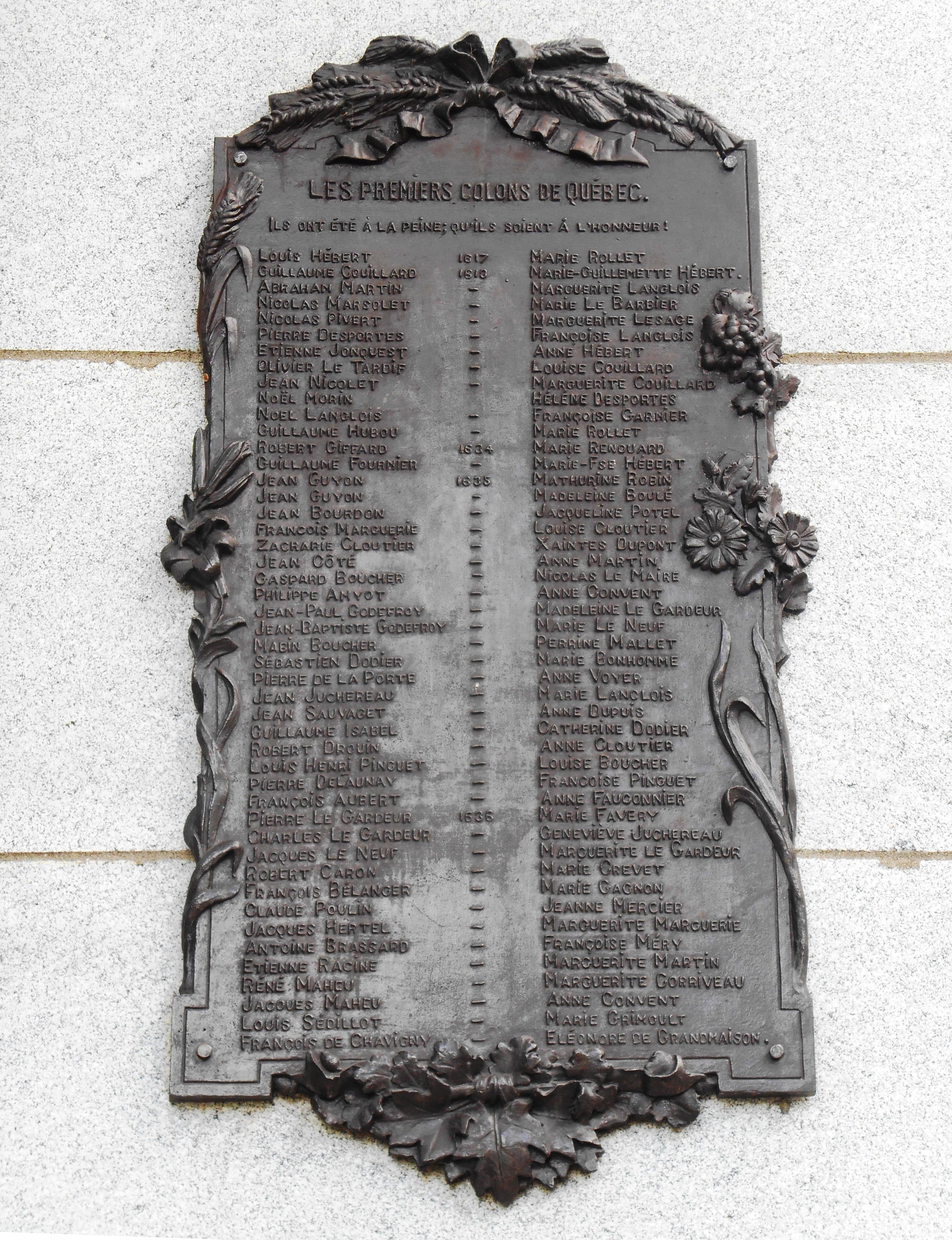
Cartier-Brébeuf National Historic Site is a National Historic Sites of Canada, National Historic Site of Canada and so designated by the Historic Sites and Monuments board of Canada in 1958 under the recommendation of John Diefenbaker, the Prime Minister of Canada at the time. It is administered by Parks Canada and located at the confluence of Saint-Charles and Lairet rivers, in Quebec City, Quebec, Canada, more precisely in La Cité-Limoilou borough. On the site you can find an interpretation centre and a 6,8 hectares inner-city park characterised by an uneven landscape and divided into two sectors "East" and "West" separated by the Lairet river. Several commemorative monuments and elements are also present. The site commemorates the second voyage of Jacques Cartier; more precisely in 1535-1536 when he and his shipmates wintered near the Iroquoian village of Stadacona (Quebec City). It also recalls the establishment of the first residence of the Jesuit missionaries in Quebec, ... [...More Info...] [...Related Items...] OR: [Wikipedia] [Google] [Baidu] |
Urban Park
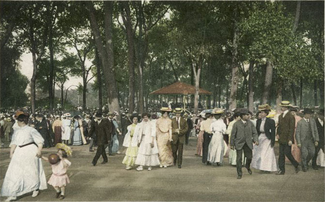
An urban park or metropolitan park, also known as a city park, municipal park (North America), public park, public open space, or municipal gardens (United Kingdom, UK), is a park or botanical garden in cities, densely populated suburbia and other municipal corporation, incorporated places that offers open space reserve, green space and places for recreation to residents and visitors. Urban parks are generally Landscape architecture, landscaped by design, instead of lands left in their natural state. The design, operation and maintenance, repair and operations, maintenance is usually done by government agencies, typically on the local government, local level, but may occasionally be contracted out to a park conservancy, "friends of" group, or private sector company. Depending on size, budget, and land features, which varies considerably among individual parks, common features include playgrounds, gardens, hiking, running, fitness trails or paths, bridle paths, sports fields and c ... [...More Info...] [...Related Items...] OR: [Wikipedia] [Google] [Baidu] |
Quebec City
Quebec City is the capital city of the Provinces and territories of Canada, Canadian province of Quebec. As of July 2021, the city had a population of 549,459, and the Census Metropolitan Area (including surrounding communities) had a population of 839,311. It is the twelfthList of the largest municipalities in Canada by population, -largest city and the seventh-List of census metropolitan areas and agglomerations in Canada, largest metropolitan area in Canada. It is also the List of towns in Quebec, second-largest city in the province, after Montreal. It has a humid continental climate with warm summers coupled with cold and snowy winters. Explorer Samuel de Champlain founded a French settlement here in 1608, and adopted the Algonquin name. Quebec City is one of the List of North American cities by year of foundation, oldest European settlements in North America. The Ramparts of Quebec City, ramparts surrounding Old Quebec () are the only fortified city walls remaining in the ... [...More Info...] [...Related Items...] OR: [Wikipedia] [Google] [Baidu] |
Quebec
Quebec is Canada's List of Canadian provinces and territories by area, largest province by area. Located in Central Canada, the province shares borders with the provinces of Ontario to the west, Newfoundland and Labrador to the northeast, New Brunswick to the southeast and a coastal border with the territory of Nunavut. In the south, it shares a border with the United States. Between 1534 and 1763, what is now Quebec was the List of French possessions and colonies, French colony of ''Canada (New France), Canada'' and was the most developed colony in New France. Following the Seven Years' War, ''Canada'' became a Territorial evolution of the British Empire#List of territories that were once a part of the British Empire, British colony, first as the Province of Quebec (1763–1791), Province of Quebec (1763–1791), then Lower Canada (1791–1841), and lastly part of the Province of Canada (1841–1867) as a result of the Lower Canada Rebellion. It was Canadian Confederation, ... [...More Info...] [...Related Items...] OR: [Wikipedia] [Google] [Baidu] |
Parks Canada
Parks Canada ()Parks Canada is the applied title under the Federal Identity Program; the legal title is Parks Canada Agency (). is the agency of the Government of Canada which manages the country's 37 National Parks, three National Marine Conservation Areas, 172 National Historic Sites, one National Urban Park ( Rouge), and one National Landmark ( Pingo). It also manages 11 proposed national park areas (National Park Reserves). Parks Canada is mandated to "protect and present nationally significant examples of Canada's natural and cultural heritage, and foster public understanding, appreciation, and enjoyment in ways that ensure their ecological and commemorative integrity for present and future generations". The agency also administers lands and waters set aside as potential national parklands, including ten National Park Reserves and one National Marine Conservation Area Reserve. More than of lands and waters in national parks and national marine conservation areas ha ... [...More Info...] [...Related Items...] OR: [Wikipedia] [Google] [Baidu] |
National Historic Sites Of Canada
National Historic Sites of Canada () are places that have been designated by the federal Minister of the Environment on the advice of the Historic Sites and Monuments Board of Canada (HSMBC), as being of national historic significance. Parks Canada, a federal agency, manages the National Historic Sites program. As of November 2023, there were 1,005 National Historic Sites, 171 of which are administered by Parks Canada; the remainder are administered or owned by other levels of government or private entities. The sites are located across all ten provinces and three territories, with two sites located in France (the Beaumont-Hamel Newfoundland Memorial and Canadian National Vimy Memorial). There are related federal designations for National Historic Events and National Historic Persons. Sites, Events and Persons are each typically marked by a federal plaque of the same style, but the markers do not indicate which designation a subject has been given. For example, the Ridea ... [...More Info...] [...Related Items...] OR: [Wikipedia] [Google] [Baidu] |
John Diefenbaker
John George Diefenbaker (September 18, 1895 – August 16, 1979) was the 13th prime minister of Canada, serving from 1957 to 1963. He was the only Progressive Conservative Party of Canada, Progressive Conservative party leader between 1930 and 1979 to lead the party to an election victory, doing so three times, although only once with a majority government, majority of the seats in the Canadian House of Commons, House of Commons. Diefenbaker was born in the small town of Neustadt, Ontario, Neustadt in Southwestern Ontario. In 1903, his family migrated west to the portion of the North-West Territories that would soon become the province of Saskatchewan. He grew up in the province and was interested in politics from a young age. After service in World War I, Diefenbaker became a noted criminal defence lawyer. He contested elections through the 1920s and 1930s with little success until he was finally elected to the House of Commons in 1940 Canadian federal election, 1940. Diefen ... [...More Info...] [...Related Items...] OR: [Wikipedia] [Google] [Baidu] |
La Cité-Limoilou
La Cité-Limoilou () is the central borough of Quebec City, the oldest (in terms of architecture), and the most populous, comprising 19.73% of the city's total population. As an administrative division, it is very new, having only been formed on November 1, 2009, from the former boroughs of La Cité and Limoilou. Districts The borough is composed of nine districts, six formerly part of La Cité and three formerly part of Limoilou: ;La Cité *Vieux-Québec–Cap-Blanc–colline Parlementaire *Saint-Roch, Quebec City, Saint-Roch *Saint-Jean-Baptiste *Montcalm, Quebec City, Montcalm *Saint-Sauveur, Quebec City, Saint-Sauveur *Saint-Sacrement, Quebec City, Saint-Sacrement ;Limoilou *Vieux-Limoilou *Lairet *Maizerets La Cité La Cité ("the city" or "the stronghold") is the historic heart of Quebec City. It was the entirety of the city until the nineteenth century expansions and amalgamations. The former borough was divided into six different districts before the 2009 reorgan ... [...More Info...] [...Related Items...] OR: [Wikipedia] [Google] [Baidu] |
Jacques Cartier
Jacques Cartier (; 31 December 14911 September 1557) was a French maritime explorer from Brittany. Jacques Cartier was the first Europeans, European to describe and map the Gulf of Saint Lawrence and the shores of the Saint Lawrence River, which he named Name of Canada, "The Country of Canadas" after the Iroquoian languages, Iroquoian names for the two big settlements he saw at Stadacona, Stadacona (Quebec City) and at Hochelaga (village), Hochelaga (Montreal Island).. Early life Jacques Cartier was born in 1491 in Saint-Malo, the port on the north-east coast of Brittany. Cartier, who was a respectable Sailor, mariner, improved his social status in 1520 by marrying Mary Catherine des Granches, member of a leading aristocratic family. His good name in Saint-Malo is recognized by its frequent appearance in baptismal registers as godfather or witness. First voyage (1534) In 1534, two years after the Duchy of Brittany was formally united with the French crown in the Union between ... [...More Info...] [...Related Items...] OR: [Wikipedia] [Google] [Baidu] |
Saint Lawrence River
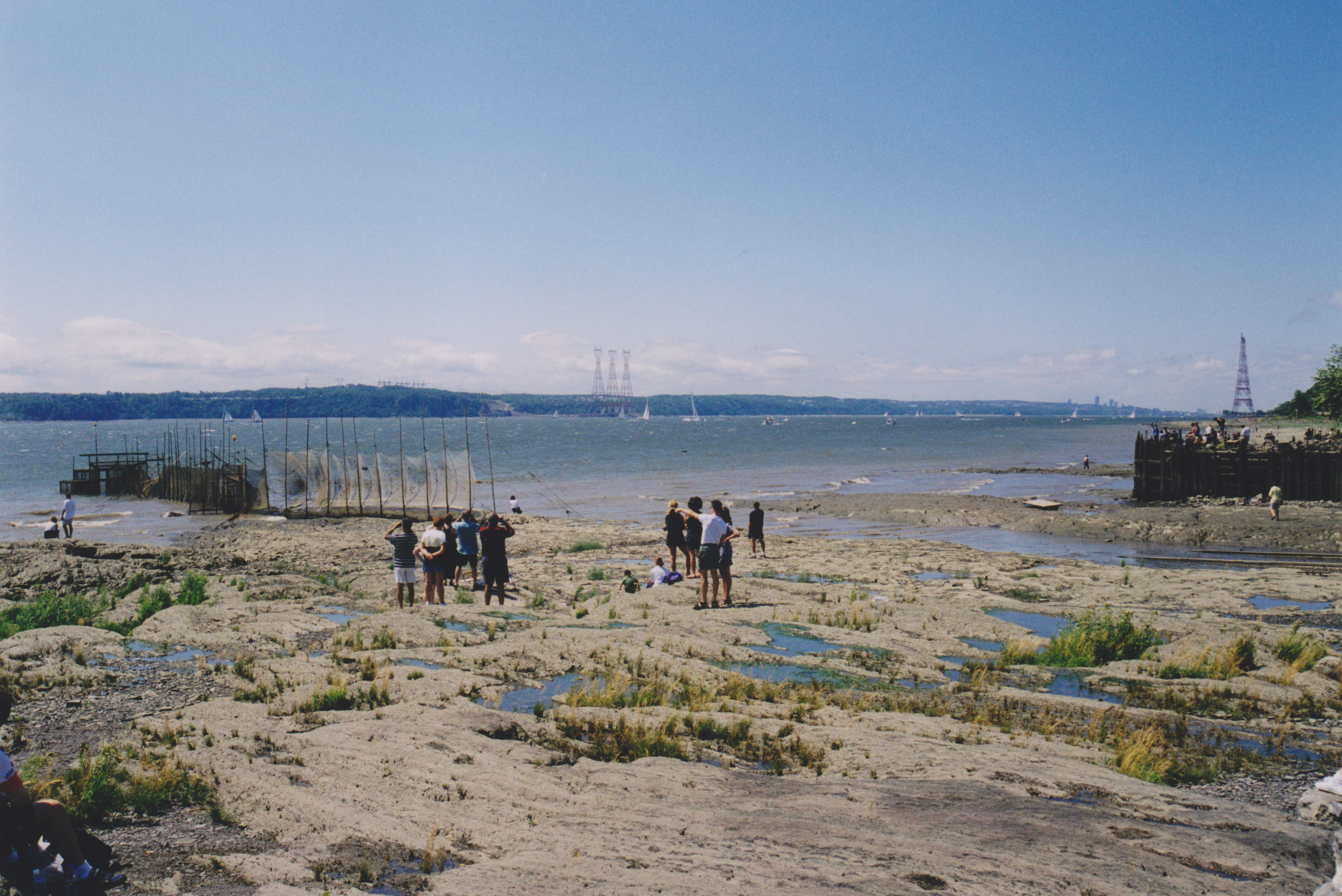
The St. Lawrence River (, ) is a large international river in the middle latitudes of North America connecting the Great Lakes to the North Atlantic Ocean. Its waters flow in a northeasterly direction from Lake Ontario to the Gulf of St. Lawrence, traversing Ontario and Quebec in Canada and New York (state), New York in the United States. A section of the river demarcates the Canada–United States border, Canada–U.S. border. As the primary Discharge (hydrology), drainage outflow of the Great Lakes Basin, the St. Lawrence has the List of rivers by discharge, second-highest discharge of any river in North America (after the Mississippi River) and the 16th-highest in the world. The estuary of St. Lawrence, estuary of the St. Lawrence is often cited by scientists as the largest in the world. Significant natural landmarks of the river and estuary include the 1,864 river islands of the Thousand Islands, the endangered whales of Saguenay–St. Lawrence Marine Park, and the limestone ... [...More Info...] [...Related Items...] OR: [Wikipedia] [Google] [Baidu] |
Samuel De Champlain
Samuel de Champlain (; 13 August 1574#Fichier]For a detailed analysis of his baptismal record, see #Ritch, RitchThe baptism act does not contain information about the age of Samuel, neither his birth date nor his place of birth. – 25 December 1635) was a French explorer, navigator, cartographer, draftsman, soldier, geographer, ethnologist, diplomat, and chronicler. He made between 21 and 29 trips across the Atlantic Ocean, and founded Quebec City, and New France, on 3 July 1608. An important figure in history of Canada, Canadian history, Champlain created the first accurate coastal map during his explorations and founded various colonial settlements. Born into a family of sailors, Champlain began exploring North America in 1603, under the guidance of his uncle, François Gravé Du Pont.#Davignon, d'Avignon (2008) After 1603, Champlain's life and career consolidated into the path he would follow for the rest of his life. From 1604 to 1607, he participated in the exploration an ... [...More Info...] [...Related Items...] OR: [Wikipedia] [Google] [Baidu] |


