|
Carseldine Railway Station
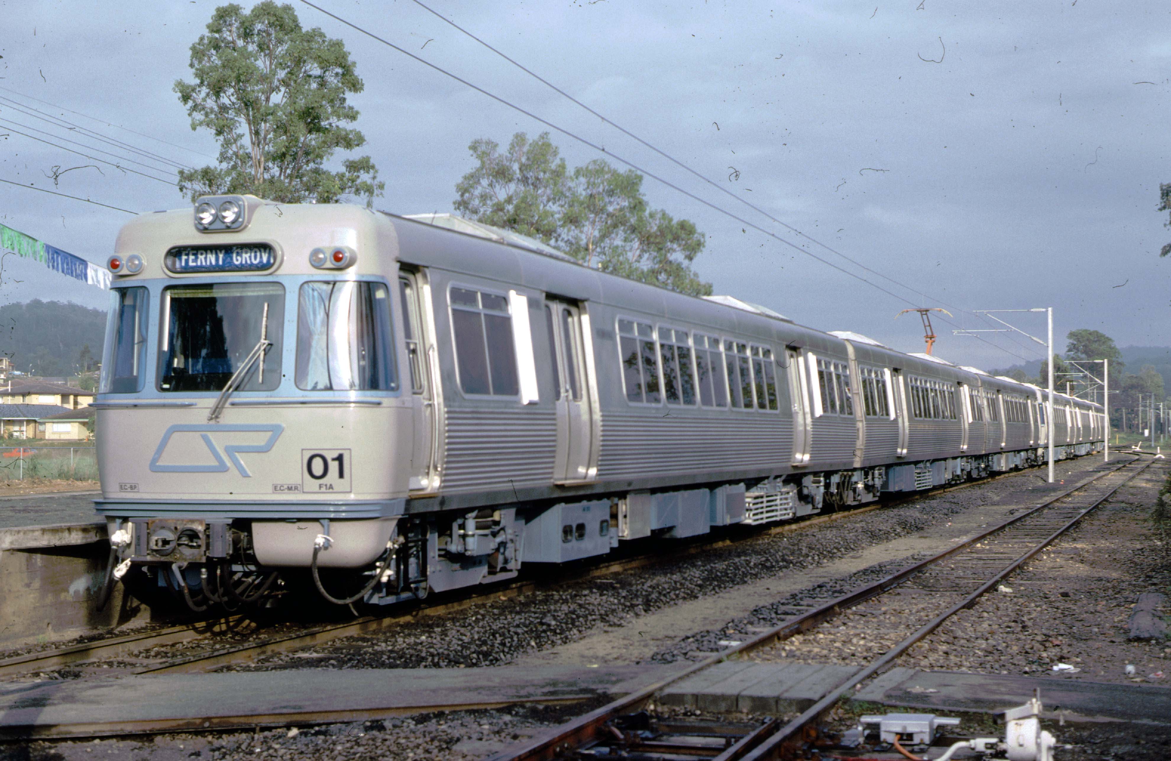
Carseldine railway station is located on the North Coast line in Queensland, Australia. It serves the Brisbane suburb of Carseldine and Fitzgibbon History In September 1985, the Queensland Government provided funding to build Carseldine station in the state budget. The station was opened by the Minister for Transport Don Lane in June 1986. Lifts were installed in 1999. On 28 August 2000, a third platform opened as part of the addition of a third track from Northgate to Bald Hills. Services Carseldine is served by all Citytrain network services from Kippa-Ring to Central, many continuing to Springfield Central. Services by platform Transport links Transport for Brisbane Transport for Brisbane, previously called Brisbane Transport'','' is an organisational division of the Brisbane City Council, responsible through its related Council Committee for providing policy and advice to Brisbane City Council, and for de ... operates one bus route to and from Carseldine st ... [...More Info...] [...Related Items...] OR: [Wikipedia] [Google] [Baidu] |
Carseldine
Carseldine is a suburb in the City of Brisbane, Queensland, Australia. In the , Carseldine had a population of 10,093 people. Geography Carseldine is about north and about a half-hour drive from the Brisbane central business district. The suburb is bounded by the North Coast railway line to the east with the Carseldine railway station () serving the suburb. Gympie Road enters the suburb from the south ( Aspley) and exits to the north-west ( Bald Hills). Carseldine is a mainly residential suburb in the north of Brisbane. At its northern boundary is the Carseldine Homemaker Centre. This Homemaker Centre includes one of north Brisbane's three Bunnings stores, which became a part of the Carseldine Homemaker Centre in 2002 (Bunnings previously traded individually there for about four years). There is also a community-based shopping centre anchored by a Woolworths supermarket on Beams Road and two convenience centres, one beside the railway station and the other on the wester ... [...More Info...] [...Related Items...] OR: [Wikipedia] [Google] [Baidu] |
Don Lane (politician)
Donald Frederick Lane (18 July 1935 – 11 March 1995) was a Minister of Transport in the Bjelke-Petersen state of Queensland's coalition government. A former policeman in the Special Branch, in 1971 he was elected as the Liberal member for Merthyr, an electorate which included the Fortitude Valley where a lot of the then illegal brothels and casinos were located. During his time with the Police, he had gotten to know Jack Herbert the Chief Organiser of The Joke, and the "Rat Pack" of Terry Lewis, Tony Murphy and Glenn Hallahan well. Following the 1983 Queensland state election he switched to the National Party (along with Brian Austin), providing it with an outright majority, and was rewarded with a ministry. He went on to lead the National Party's submission to the Electoral Commission to more effectively gerrymander and malapportion seats to increase National Party control.Lane, Don 1993, ''Trial and Error'' Boolarong Publications pp162-163 It was revealed in the Fitzgera ... [...More Info...] [...Related Items...] OR: [Wikipedia] [Google] [Baidu] |
Springfield Central Railway Station
Springfield Central Railway Station is the terminus station of the Springfield Line in Queensland, Australia. It serves Springfield Central (the central suburb of Greater Springfield) and other nearby suburbs in the City of Ipswich. Brisbane-bound services depart half-hourly during off-peak times, with most travelling to Kippa-Ring. The station was opened in December 2013 after the line was extended from Richlands. History Springfield Central Station was part of the Queensland Government's Darra to Springfield Transport Corridor project, aimed at providing effective public transport infrastructure for the fast-growing western region between Brisbane and Ipswich. Works began on the extension to Springfield Central after Richlands Station was completed in early 2011. Initially, Springfield Central station was planned to be named ''Springfield'', with the current Springfield station to be named '' Springfield Lakes''. A public open day was held on 1 December 2013 following ... [...More Info...] [...Related Items...] OR: [Wikipedia] [Google] [Baidu] |
Kippa-Ring Railway Station
Kippa-Ring railway station is the terminus of the Redcliffe Peninsula railway line and serves the suburb of Kippa-Ring in City of Moreton Bay, Queensland, Australia. It features a park & ride facility and local bus stops. A stabling facility, capable of holding 10 six car trains, is located to the west of the station. It opened, together with the rail line, on 4 October 2016. Following an upgrade of Kippa-Ring railway station's car park, the station now has 408 parking spaces, consisting of 396 normal parking spaces, two new family parking spaces, and ten disability parking spaces, eight are located near the grassed area at the entrance to the station, with two of the originally installed spaces still available, with the rest being replaces by the two family parking spots and seven regular parking spots. Services Kippa-Ring is served by trains operating to Roma Street and Springfield Central. Some afternoon weekday services continue to Ipswich. Services by platform Bus ... [...More Info...] [...Related Items...] OR: [Wikipedia] [Google] [Baidu] |
Queensland Rail Citytrain Network
Railways in South East Queensland consist of a large passenger and freight rail network centred on Brisbane, the capital city of the Australian state of Queensland. Suburban and interurban passenger rail services are operated by Queensland Rail, which also operates long-distance services connecting Brisbane to the rest of the state. Aurizon and Pacific National are private companies which operate freight services. The passenger rail network in South East Queensland is known as the Citytrain network. Queensland Rail operates ten suburban and two interurban lines in South East Queensland, all of which are electrified. Centred in the Brisbane central business district, the network extends as far as Gympie in the north, Varsity Lakes in the south, Rosewood in the west, and Cleveland in the east to Moreton Bay. Each line is ascribed a colour and name on all Queensland Rail signage and marketing collateral including timetables, posters and maps. There are 154 stations on the South ... [...More Info...] [...Related Items...] OR: [Wikipedia] [Google] [Baidu] |
Bald Hills Railway Station
Bald Hills railway station is located on the North Coast line in Queensland, Australia. It serves the Brisbane suburb of Bald Hills. On 28 August 2000, a third platform opened as part of the addition of a third track from Northgate. Services Bald Hills is served by all Citytrain network services from Kippa-Ring Kippa-Ring is a suburb in the City of Moreton Bay, Queensland, Australia. In the , Kippa-Ring had a population of 9,745 people. Geography Kippa-Ring is located in the centre of the Redcliffe Peninsula, by road west of Redcliffe and by roa ... to Central, many continuing to Springfield Central. Services by platform References External links *Strathpine stationQueensland RailBald Hills stationQueensland's Railways on the Internet {{Queensland Rail railway stations, Redcliffe Peninsula=y, state=collapsed Bald Hills, Queensland Railway stations in Brisbane North Coast railway line, Queensland ... [...More Info...] [...Related Items...] OR: [Wikipedia] [Google] [Baidu] |
Northgate Railway Station, Brisbane
Northgate railway station is located on the North Coast line in Queensland, Australia. It serves the Brisbane suburb of Northgate. Immediately north of the station, the Shorncliffe line branches off. History Northgate station opened in 1882 as Toombul with the opening of the North Coast line. It was later renamed Northgate Junction and then shortened to Northgate. Services Northgate is served by Caboolture, Redcliffe Peninsula, Sunshine Coast & Shorncliffe line services. Also see Inner City timetable Services by Platform Transport links Transport for Brisbane operates one bus route via Northgate station: *306: Nudgee Beach to Cultural Centre busway station Cultural Centre busway station is located in Brisbane, Australia serving the South Bank, Queensland, South Bank precinct. It is located directly south of Victoria Bridge, Brisbane, Victoria Bridge and close to South Brisbane railway station. T ... References External links *Northgate stationQueensland RailN ... [...More Info...] [...Related Items...] OR: [Wikipedia] [Google] [Baidu] |
Railway Digest
''Railway Digest'' is a monthly magazine, published in Sydney, covering contemporary railways in Australia. Overview The magazine is published by the Australian Railway Historical Society (ARHS), NSW Division. The first issue was in March 1963, under the name ''New South Wales Digest'', and regular publication commenced with the May 1963 edition. It was renamed in January 1983. In January 1985 it changed size Size in general is the Magnitude (mathematics), magnitude or dimensions of a thing. More specifically, ''geometrical size'' (or ''spatial size'') can refer to three geometrical measures: length, area, or volume. Length can be generalized ... from SRA5 to A4. Originally an enthusiast magazine, mainly focusing on reporting day-to-day workings of the New South Wales Government Railways and its successors, it was produced by volunteers using a hand-operated duplicator at the home of an ARHS member. In May 1993, a paid editor was appointed and the magazine's fo ... [...More Info...] [...Related Items...] OR: [Wikipedia] [Google] [Baidu] |
Central Railway Station, Brisbane
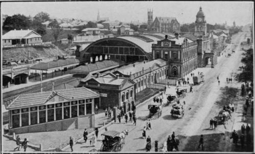
Central railway station is located on the North Coast railway line, Queensland, North Coast line in Queensland, Australia. It is the principal station on the Queensland Rail City network, City network and is located in the north of the Brisbane central business district. Central station is one of four inner city stations that form a core corridor through the centre of Brisbane. History The first building for Central railway station was a structure of wood and corrugated galvanised iron, and opened on 18 August 1889 as the terminus of the line when it was extended from Roma Street railway station. In 1891, the tunnel to Fortitude Valley railway station, Brunswick Street station (now Fortitude Valley) was opened so trains could run directly from Central to northern destinations. An elegant new station was constructed and opened in 1899 with arches of corrugated galvanised iron over the platforms and a portico on Ann Street, Brisbane, Ann Street. A new entrance with its distin ... [...More Info...] [...Related Items...] OR: [Wikipedia] [Google] [Baidu] |
Government Of Queensland
The Queensland Government is the state government of Queensland, Australia, a parliamentary constitutional monarchy. Government is formed by the party or coalition that has gained a majority in the state Legislative Assembly, with the governor officially appointmenting office-holders. The first government of Queensland was formed in 1859 when Queensland separated from New South Wales under the state constitution. Since federation in 1901, Queensland has been a state of Australia, with the Constitution of Australia regulating its relationship with the federal government. Queensland's system of government is influenced by the Westminster system and Australia's federal system of government. Executive acts are given legal force through the actions of the governor of Queensland (the representative of the monarch, Charles III), although the governor in practice performs only ceremonial duties, with de facto executive power lying with the Cabinet. The Cabinet is the government' ... [...More Info...] [...Related Items...] OR: [Wikipedia] [Google] [Baidu] |
Fitzgibbon, Queensland
Fitzgibbon is a northern suburb in the City of Brisbane, Queensland, Australia. In the , Fitzgibbon had a population of 6,296 people. Geography The suburb is one of the smallest suburbs in Brisbane. The suburb is roughly triangular in shape, and is bounded by the North Coast railway, Cabbage Tree Creek, and Telegraph Road. It was subdivided for residential use in the 1980s and 1990s. History The suburb was named after Abram Fitzgibbon, who was the chief engineer of railways in Queensland in the 1860s. The area was previously the site of a council landfill A landfill is a site for the disposal of waste materials. It is the oldest and most common form of waste disposal, although the systematic burial of waste with daily, intermediate and final covers only began in the 1940s. In the past, waste was .... The landfill was first opened on 1 December 1981, and was located on Telegraph Road (now the Bill Brown Sports Reserve). On 14 January 1985, the site was closed and mov ... [...More Info...] [...Related Items...] OR: [Wikipedia] [Google] [Baidu] |


