|
Carlton Colville
Carlton Colville is a seaside town and civil parish in the English county of Suffolk. It is south-west of the centre of the town of Lowestoft in the East Suffolk district. The area lies along the A146 Lowestoft to Beccles road. Carlton Colville has boundaries with Oulton Broad, Gisleham and Pakefield. It forms the south-western edge of Lowestoft, with Mutford to the south-east. The electoral ward continues to the north to the River Waveney and had a population of 6,612 at the 2001 census, increasing to 8,505 at the 2011 census. A civil parish, the parish council adopted town council status in August 2011, retaining the same powers and funding.Carlton Colville takes big step forward ''Lowestoft Journal'', 2011-08-19. Retrieved 2011-08-19. His ...
|
East Suffolk District Council
East Suffolk is a local government district in Suffolk, England. The largest town is Lowestoft, which contains Ness Point, the easternmost point of the United Kingdom. The second largest town is Felixstowe, which has the country's largest container port. On the district's south-western edge it includes parts of the Ipswich built-up area. The rest of the district is largely rural, containing many towns and villages, including several seaside resorts. Its council is based in the village of Melton. The district was formed in 2019 as a merger of the two previous districts of Suffolk Coastal and Waveney. In 2021 it had a population of 246,058. It is the most populous district in the country not to be a unitary authority. The district is on the coast, facing the North Sea. Much of the coast and adjoining areas lies within the Suffolk Coast and Heaths, a designated Area of Outstanding Natural Beauty. Some northern parts of the district lie within The Broads. The neighbouring dis ... [...More Info...] [...Related Items...] OR: [Wikipedia] [Google] [Baidu] |
Domesday Book
Domesday Book ( ; the Middle English spelling of "Doomsday Book") is a manuscript record of the Great Survey of much of England and parts of Wales completed in 1086 at the behest of William the Conqueror. The manuscript was originally known by the Latin name , meaning "Book of Winchester, Hampshire, Winchester", where it was originally kept in the royal treasury. The ''Anglo-Saxon Chronicle'' states that in 1085 the king sent his agents to survey every shire in England, to list his holdings and dues owed to him. Written in Medieval Latin, it was Scribal abbreviation, highly abbreviated and included some vernacular native terms without Latin equivalents. The survey's main purpose was to record the annual value of every piece of landed property to its lord, and the resources in land, labour force, and livestock from which the value derived. The name "Domesday Book" came into use in the 12th century. Richard FitzNeal wrote in the ( 1179) that the book was so called because its de ... [...More Info...] [...Related Items...] OR: [Wikipedia] [Google] [Baidu] |
Dragonfly
A dragonfly is a flying insect belonging to the infraorder Anisoptera below the order Odonata. About 3,000 extant species of dragonflies are known. Most are tropical, with fewer species in temperate regions. Loss of wetland habitat threatens dragonfly populations around the world. Adult dragonflies are characterised by a pair of large, multifaceted, compound eyes, two pairs of strong, transparent wings, sometimes with coloured patches, and an elongated body. Many dragonflies have brilliant iridescent or metallic colours produced by structural coloration, making them conspicuous in flight. An adult dragonfly's compound eyes have nearly 24,000 ommatidia each. Dragonflies can be mistaken for the closely related damselflies, which make up the other odonatan infraorder ( Zygoptera) and are similar in body plan, though usually lighter in build; however, the wings of most dragonflies are held flat and away from the body, while damselflies hold their wings folded at rest, al ... [...More Info...] [...Related Items...] OR: [Wikipedia] [Google] [Baidu] |
Water Soldier
''Stratiotes'' is a genus of submerged aquatic plant commonly known as water soldiers, described as a genus by Linnaeus in 1753. Several specific names have been coined within the genus, but at present only one is recognized: ''Stratiotes aloides''. native to Europe and NW Asia. ;formerly included in genus moved to other genera: ''Enhalus Hydrocleys Ottelia'' # ''Stratiotes acoroides - Enhalus acoroides'' # ''Stratiotes alismoides - Ottelia alismoides'' # ''Stratiotes nymphoides - Hydrocleys nymphoides'' # ''Stratiotes quinquealatus - Ottelia alismoides'' Description The leaves are serrate and very brittle, breaking easily when handled. Reproduction is generally by offsets, which may number five or more per plant. In the UK, male plants have rarely if ever been recorded, although some hermaphrodite flowers have been recorded from more southerly locations. Sexual reproduction is not known to occur. A characteristic of the genus is the habit of the plants rising to the ... [...More Info...] [...Related Items...] OR: [Wikipedia] [Google] [Baidu] |
Bladderwort
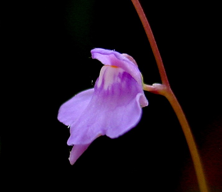
''Utricularia'', commonly and collectively called the bladderworts, is a genus of carnivorous plants consisting of approximately 233 species (precise counts differ based on classification opinions; a 2001 publication lists 215 species).Salmon, Bruce (2001). ''Carnivorous Plants of New Zealand''. Ecosphere Publications. They occur in fresh water and wet soil as terrestrial or aquatic species across every continent except Antarctica. ''Utricularia'' are cultivated for their flowers, which are often compared with those of snapdragons and orchids, especially amongst carnivorous plant enthusiasts. All ''Utricularia'' are carnivorous and capture small organisms by means of bladder-like traps. Terrestrial species tend to have tiny traps that feed on minute prey such as protozoa and rotifers swimming in water-saturated soil. The traps can range in size from .Taylor, Peter. (1989). '' The genus Utricularia - a taxonomic monograph''. Kew Bulletin Additional Series XIV: London. Aquatic sp ... [...More Info...] [...Related Items...] OR: [Wikipedia] [Google] [Baidu] |
The Broads
The Broads (known for marketing purposes as The Broads National Park) is a network of mostly navigable rivers and lakes in the English counties of Norfolk and Suffolk. Although the terms "Norfolk Broads" and "Suffolk Broads" are correctly used to identify specific areas within the two counties respectively, the whole area is frequently referred to as the Norfolk Broads. The lakes, known as broads, were formed by the flooding of peat workings. The Broads, and some surrounding land, were constituted as a special area with a level of protection similar to a national parks of England and Wales, national park by the Norfolk and Suffolk Broads Act 1988. The #Management, Broads Authority, a special statutory authority responsible for managing the area, became operational in 1989. The area is , most of which is in Norfolk, with over of navigable waterways. There are seven rivers and 63 broads, mostly less than deep. Thirteen broads are generally open to navigation, with a further th ... [...More Info...] [...Related Items...] OR: [Wikipedia] [Google] [Baidu] |
Suffolk Wildlife Trust
Suffolk Wildlife Trust (SWT) describes itself as the county's "nature charity – the only organisation dedicated wholly to safeguarding Suffolk's wildlife and countryside." It is a registered charity, and its headquarters is at Brooke House in Ashbocking, near Ipswich. It was founded in 1961,About us , Suffolk Wildlife Trust. Retrieved 3 March 2014. and is one of 46 wildlife trusts covering Great Britain and Northern Ireland. As of March 2017, it has 13,200 members, and it manages of land in 60 nature reserves, most of which are open to the public. It had an income of £3.9 milli ... [...More Info...] [...Related Items...] OR: [Wikipedia] [Google] [Baidu] |
Carlton And Oulton Marshes
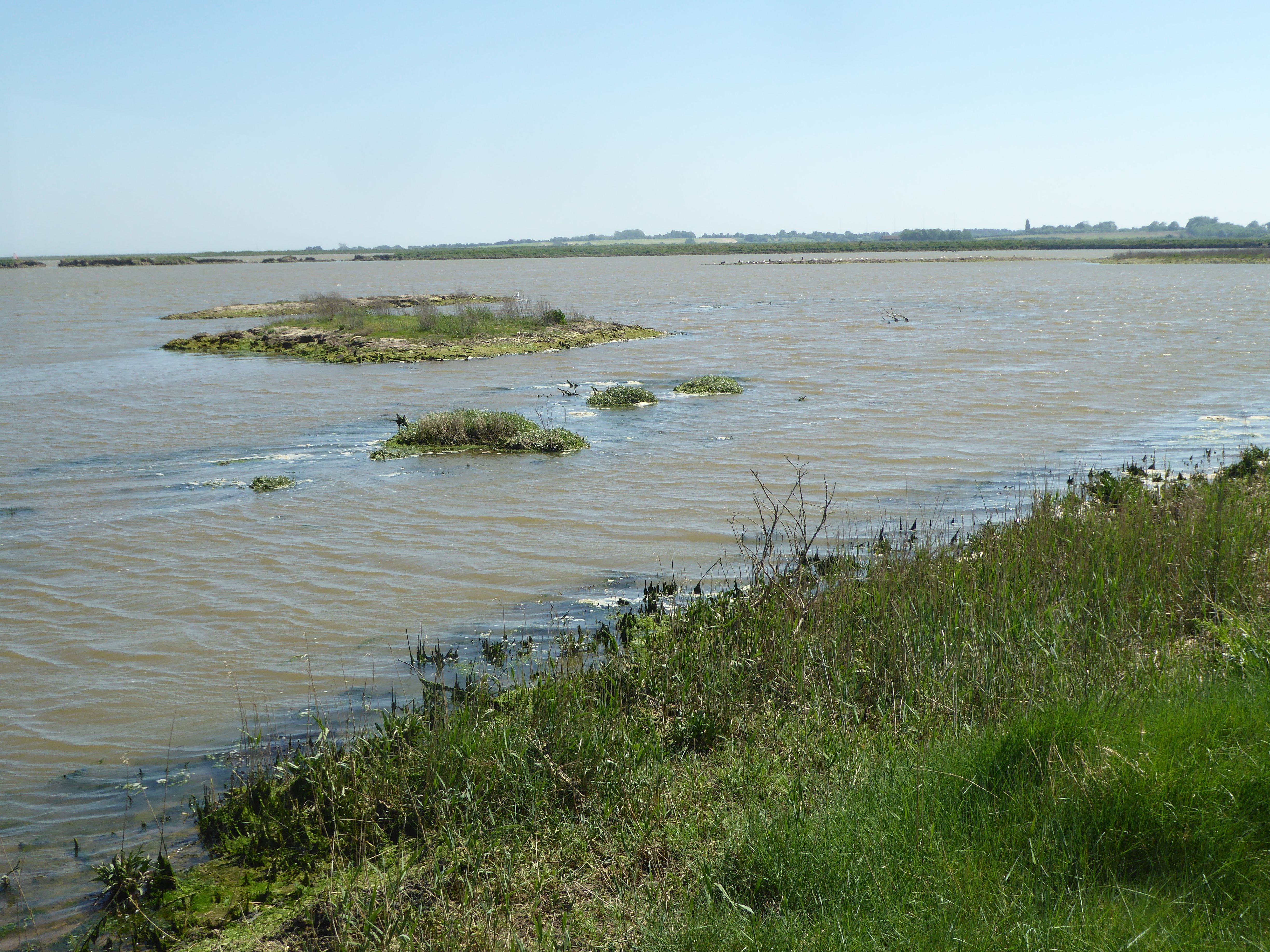
Carlton and Oulton Marshes is a 151 hectare nature reserve in Lowestoft in Suffolk. It is managed by the Suffolk Wildlife Trust. Carlton Marshes is part of the Sprat's Water and Marshes, Carlton Colville Site of Special Scientific Interest, the Broadland Ramsar internationally important wetland site, the Broadland Special Protection Area under the European Union Directive on the Conservation of Wild Birds, and The Broads Special Area of Conservation. Carlton and Oulton Marshes are separated by Oulton Dyke. Birds of prey include marsh harriers, barn owls and hobbies, and there are many wintering wildfowl and breeding waders. Semi-aquatic fen raft spiders were released on the site in 2012 to boost the low British population, and underwater insectivorous bladderworts trap water fleas. The Angles Way The Angles Way is a long-distance footpath in England, close to the River Waveney and River Little Ouse and thus close to the Norfolk/Suffolk border between Great Yarmouth and The ... [...More Info...] [...Related Items...] OR: [Wikipedia] [Google] [Baidu] |
SSSI
A Site of Special Scientific Interest (SSSI) in Great Britain, or an Area of Special Scientific Interest (ASSI) in the Isle of Man and Northern Ireland, is a conservation designation denoting a protected area in the United Kingdom and Isle of Man. SSSI/ASSIs are the basic building block of site-based nature conservation legislation and most other legal nature/geological conservation designations in the United Kingdom are based upon them, including national nature reserves, Ramsar sites, Special Protection Areas, and Special Areas of Conservation. The acronym "SSSI" is often pronounced "triple-S I". Selection and conservation Sites notified for their biological interest are known as Biological SSSIs (or ASSIs), and those notified for geological or physiographic interest are Geological SSSIs (or ASSIs). Sites may be divided into management units, with some areas including units that are noted for both biological and geological interest. Biological Biological SSSI/ASSIs ma ... [...More Info...] [...Related Items...] OR: [Wikipedia] [Google] [Baidu] |
Levant
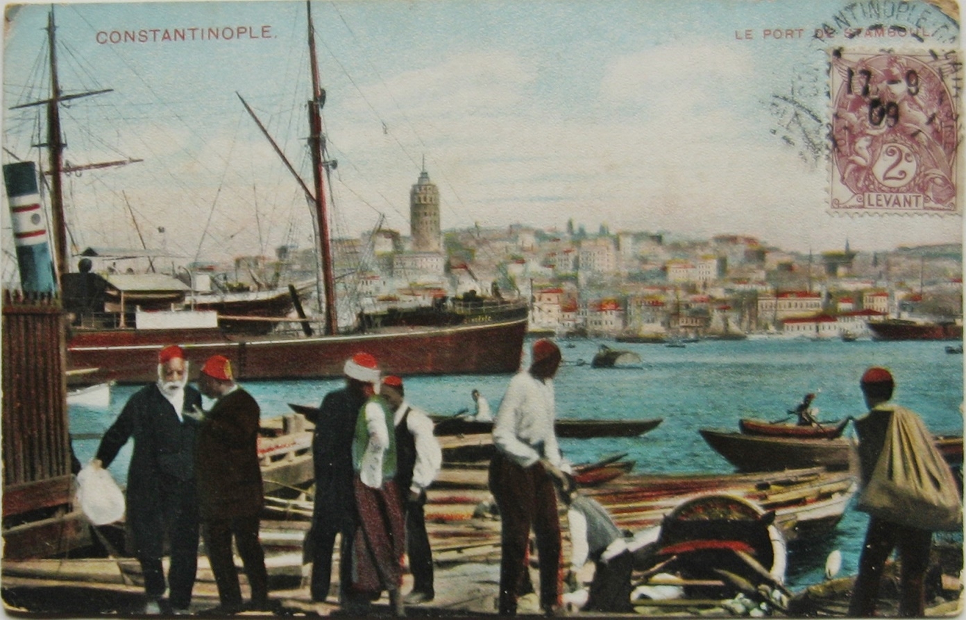
The Levant ( ) is the subregion that borders the Eastern Mediterranean, Eastern Mediterranean sea to the west, and forms the core of West Asia and the political term, Middle East, ''Middle East''. In its narrowest sense, which is in use today in archaeology and other cultural contexts, it is equivalent to Cyprus and a stretch of land bordering the Mediterranean Sea in Western AsiaGasiorowski, Mark (2016). ''The Government and Politics of the Middle East and North Africa''. p. 5: "... today the term ''Levantine'' can describe shared cultural products, such as Levantine cuisine or Levantine archaeology". .Steiner & Killebrew, p9: "The general limits ..., as defined here, begin at the Plain of 'Amuq in the north and extend south until the Wâdī al-Arish, along the northern coast of Sinai. ... The western coastline and the eastern deserts set the boundaries for the Levant ... The Euphrates and the area around Jebel el-Bishrī mark the eastern boundary of the northern Levant, as d ... [...More Info...] [...Related Items...] OR: [Wikipedia] [Google] [Baidu] |
Introduced Species
An introduced species, alien species, exotic species, adventive species, immigrant species, foreign species, non-indigenous species, or non-native species is a species living outside its native distributional range, but which has arrived there by human activity, directly or indirectly, and either deliberately or accidentally. Non-native species can have various effects on the local ecosystem. Introduced species that become established and spread beyond the place of introduction are considered naturalized. The process of human-caused introduction is distinguished from biological colonization, in which species spread to new areas through "natural" (non-human) means such as storms and rafting. The Latin expression neobiota captures the characteristic that these species are ''new'' biota to their environment in terms of established biological network (e.g. food web) relationships. Neobiota can further be divided into neozoa (also: neozoons, sing. neozoon, i.e. animals) and ne ... [...More Info...] [...Related Items...] OR: [Wikipedia] [Google] [Baidu] |


