|
Cape Moltke
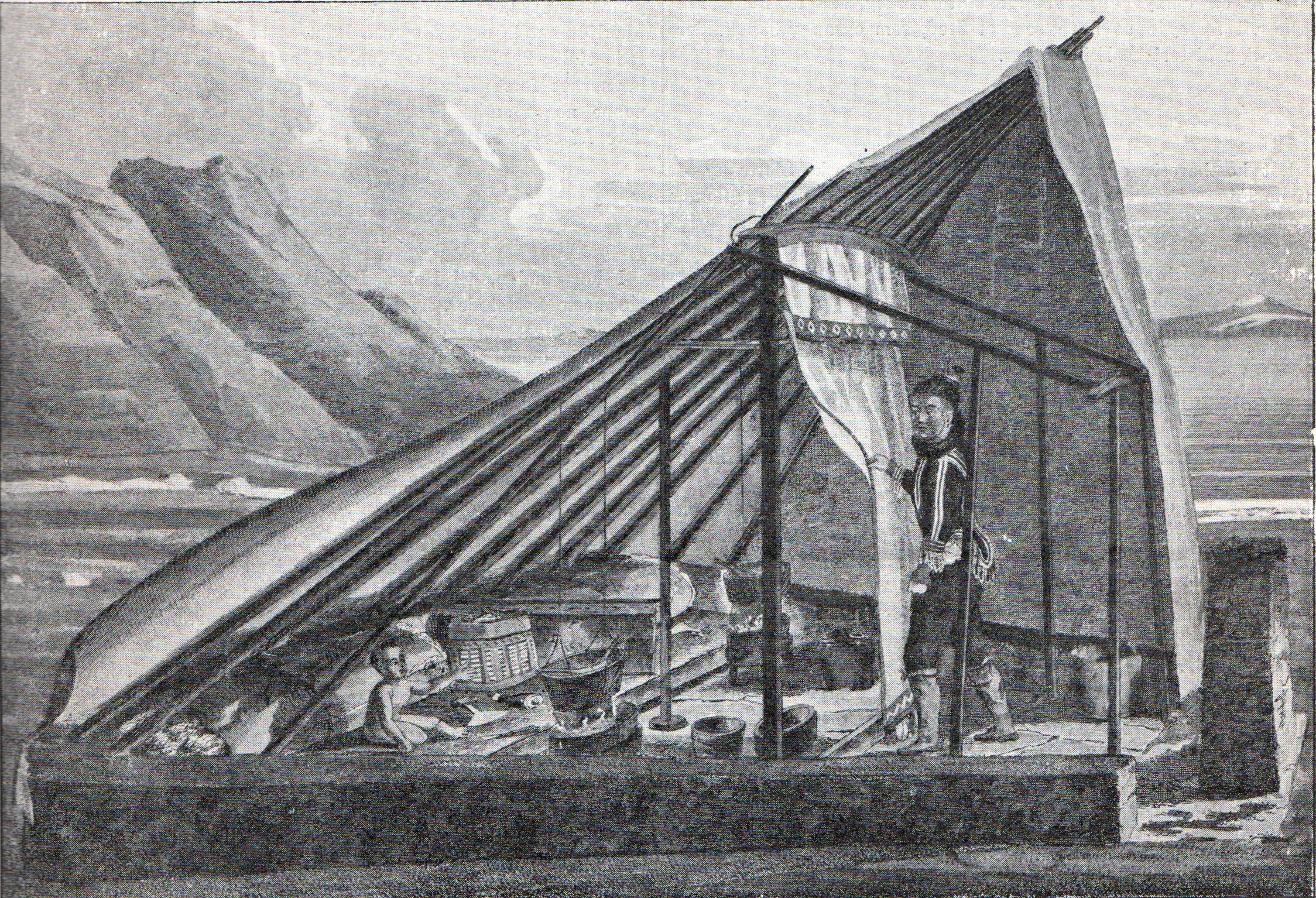
Cape Moltke ( da, Kap Moltke; kl, Kangeq) is a headland in the North Atlantic Ocean, southeast Greenland, Kujalleq municipality. History There are numerous ancient Inuit ruins in the shores of the coves and islands near the cape, remains of the former inhabitants of the area, the now extinct Southeast-Greenland Inuit. Cape Moltke was named by Lieutenant Wilhelm August Graah in 1829 during his East Coast expedition. Graah noticed that north of the cape the land was more covered with snow than to the south. He named the headland after Danish Minister of State Count Adam Wilhelm Moltke of Bregentved. Geography Cape Moltke is located at the eastern end of Thorland, NNE of Cape Niels Juel. It is a reddish-brown promontory with steep cliffs located about south of the mouth of Bernstorff Fjord.''Prostar Sailing Directions 2005 Greenland and Iceland Enroute'', p. 102 North and south of Cape Moltke the coast is indented with small fjords and a number of offshore islands. Qimiitaa, ... [...More Info...] [...Related Items...] OR: [Wikipedia] [Google] [Baidu] |
Cape (geography)
In geography, a cape is a headland or a promontory of large size extending into a body of water, usually the sea.Whittow, John (1984). ''Dictionary of Physical Geography''. London: Penguin, 1984, p. 80. . A cape usually represents a marked change in trend of the coastline, often making them important landmarks in sea navigation. This also makes them prone to natural forms of erosion Erosion is the action of surface processes (such as water flow or wind) that removes soil, rock, or dissolved material from one location on the Earth's crust, and then transports it to another location where it is deposited. Erosion is di ..., mainly tidal actions, which results in them having a relatively short geological lifespan. Capes can be formed by glaciers, volcanoes, and changes in sea level. Erosion plays a large role in each of these methods of formation. List of some well-known capes Gallery File:Cape Cornwall.jpg, Cape Cornwall, England File:Nasa photo cape fear.jp ... [...More Info...] [...Related Items...] OR: [Wikipedia] [Google] [Baidu] |
Wilhelm August Graah
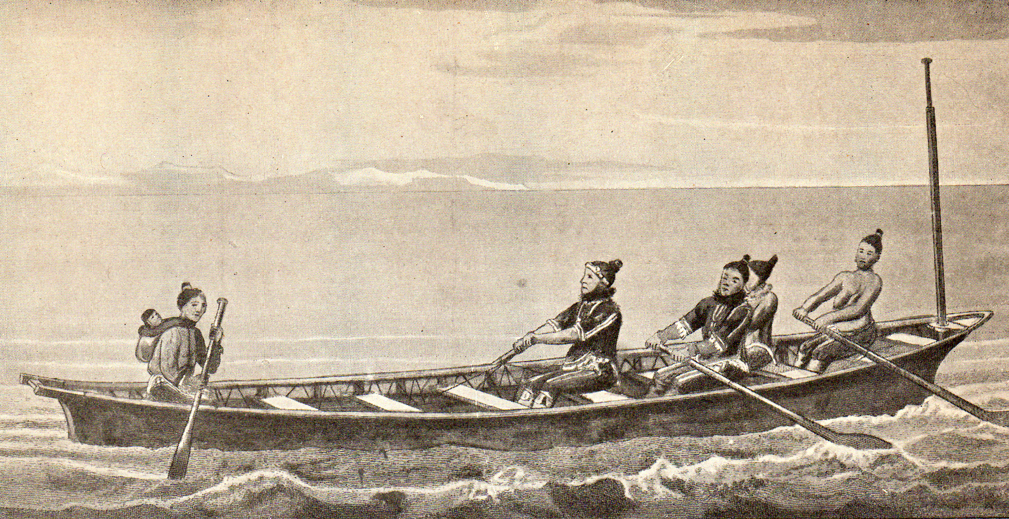
Wilhelm August Graah (1793–1863) was a Danish naval officer and Arctic explorer. Graah had mapped areas of West Greenland when he, in 1828–30, was sent by King Frederick VI of Denmark on an expedition to the unmapped eastern coast with the purpose to search for the lost Eastern Norse Settlement. Expedition The expedition set out from Copenhagen in the brig ''Hvalfisken'', but - once arrived in Greenland - used umiaks able to navigate in the waters between the coast and the sea ice of southeastern Greenland. In 1829, the expedition reached Dannebrog Island (65° 18' N), where it was stopped by ice. They wintered at Nugarlik (63° 22' N) and returned to the settlements on the west coast of Greenland in 1830. Two naturalists participated - the geologist Christian Pingel and the botanist Jens Vahl. Graah published an account of the exploration. Graah named the southeastern coast of Greenland King Frederick VI Coast and mapped about 550 km of formerly uncharted territory ... [...More Info...] [...Related Items...] OR: [Wikipedia] [Google] [Baidu] |
Bernstorff Fjord
Bernstorff Fjord ( da, Bernstorff Isfjord; kl, Kangertittivaq) is a fjord in King Frederick VI Coast, eastern Greenland. Administratively it is part of the Sermersooq municipality. The fjord was named after Danish statesman Andreas Peter Bernstorff. This fjord is almost always blocked by heavy ice. History One of the coastal islands, Igdluluarssuk (Sattiaatteq) at the entrance of the fjord on its southern side, had had the northernmost Inuit settlement of the southern group on the east coast in the recent past. Arctic explorer Wilhelm August Graah of the Danish Navy explored this area in 1828–30, during an expedition in search of the legendary Eastern Norse Settlement. Geography To the east the Bernstorff Fjord opens into the Irminger Sea (North Atlantic Ocean). It separates the Odinland Peninsula with its SE end, Cape Møsting to the north,''Prostar Sailing Directions 2005 Greenland and Iceland Enroute'', p. 102 from the Thorland Peninsula and Cape Moltke to the sout ... [...More Info...] [...Related Items...] OR: [Wikipedia] [Google] [Baidu] |
Cape Niels Juel
A cape is a clothing accessory or a sleeveless outer garment which drapes the wearer's back, arms, and chest, and connects at the neck. History Capes were common in medieval Europe, especially when combined with a hood in the chaperon. They have had periodic returns to fashion - for example, in nineteenth-century Europe. Roman Catholic clergy wear a type of cape known as a ferraiolo, which is worn for formal events outside a ritualistic context. The cope is a liturgical vestment in the form of a cape. Capes are often highly decorated with elaborate embroidery. Capes remain in regular use as rainwear in various military units and police forces, in France for example. A gas cape was a voluminous military garment designed to give rain protection to someone wearing the bulky gas masks used in twentieth-century wars. Rich noblemen and elite warriors of the Aztec Empire would wear a tilmàtli; a Mesoamerican cloak/cape used as a symbol of their upper status. Cloth and clothing wa ... [...More Info...] [...Related Items...] OR: [Wikipedia] [Google] [Baidu] |
Thorland
Thorland ( da, Thors Land) is a peninsula in the King Frederick VI Coast, southeastern Greenland. It is a part of the Sermersooq municipality. History One of the coastal islands, Igdluluarssuk (Sattiaatteq) at the entrance of the fjord on its southern side, had had the northernmost Inuit settlement of the southern group on the east coast in the recent past. Arctic explorer Wilhelm August Graah of the Danish Navy explored this area in 1828–30, during an expedition in search of the legendary Eastern Norse Settlement and named this peninsula after Thor. In 1931 Norway sent two expeditions to establish hunting, meteorological and radio stations in Southeast Greenland. Founded by Finn Devold, on Ship ''Heimen'' from Tromsø, a Norwegian station was built in southern Thorland and named Finnsbu. The other expedition, led by Ole Mortensen, went to Storfjord ( Kangerlussuaq Fjord) on ship ''Signalhorn'' and built a hut there. Since hunting there was poor, Mortensen moved with his men ... [...More Info...] [...Related Items...] OR: [Wikipedia] [Google] [Baidu] |
Bregentved
Bregentved is a manor house located 3 km east of Haslev on the Danish island of Zealand. It has been owned by the Moltke family since the middle of the 18th century. History Early history The first known reference to Bregentved is from 1319 when King Eric VI of Denmark passed the estate to Roskilde Abbey. From the end of the 14th century the property was owned by a succession of aristocratic families, including that of Krognos in the 16th century, until 1718 when it was acquired by King Frederick IV. In the eighteenth century Bregentved was in consecutive Birks, so had separate legal jurisdiction from Haslev Sogn (parish) and old Ringsted Herred (hundred). The north wing still extant in the early 21st century was built 1731-36 by architect Lauritz de Thurah and has a black-tiled, hipped roof. It contains a chapel on the first floor. Moltke era In 1746, King Frederick V granted the Bregentved estate to Adam Gottlob Moltke, one of his closest companions who was at the s ... [...More Info...] [...Related Items...] OR: [Wikipedia] [Google] [Baidu] |
Adam Wilhelm Moltke
Adam Wilhelm Moltke, 3rd Count of Bregentved (25 August 178515 February 1864) was a Danish nobleman, landowner, civil servant and politician, who in 1848-1852 was the first Prime Minister of Denmark under the new constitutional monarchy outlined in 1848 and signed as the Danish Constitution on 5 June 1849 by Frederick VII of Denmark. Early life and education A member of the Danish and German noble family Moltke, Adam Wilhelm Moltke was born on 25 August 1785 at the Einsiedelsborg manor house on the island of Funen, the son of Privy Counsellor Joachim Godske Moltke. His paternal grandfather was Adam Gottlob Moltke, the influential Lord Steward and royal favourite of King Frederick V of Denmark and Norway. As a child, Moltke was tutored by Jacob Peter Mynster, who later became the bishop of Zealand. Career He was known as a humane and patriarchal squire but was no outstanding political figure. From 1845, he was Minister of Financial Affairs. At the fall of the ... [...More Info...] [...Related Items...] OR: [Wikipedia] [Google] [Baidu] |
King Frederick VI Coast
King Frederick VI Coast ( da, Kong Frederik VI Kyst) is a major geographic division of Greenland. It comprises the coastal area of Southeastern Greenland in Sermersooq and Kujalleq municipalities fronting the Irminger Sea of the North Atlantic Ocean. It is bordered by King Christian IX Land on the north and the Greenland Ice Sheet to the west. Named after King Frederick VI of Denmark-Norway, the coast stretches for about south of the Arctic Circle. It is characterized by a succession of short fjords, steep mountains and small coastal islands. There is a narrow belt of ice-free land between the shore and the Inland ice cap, interrupted by active glaciers reaching the shore with the ice limit varying seasonally from year to year. Owing to the movement of pack ice carried by the East Greenland Current and frequent gale-force winds that sweep down from the Greenland ice cap, it is mostly very difficult to approach or navigate along the coast by ship. History This area was in ... [...More Info...] [...Related Items...] OR: [Wikipedia] [Google] [Baidu] |


