|
Cape Christie
Cape Christie () is a cape situated west-northwest of Cape Hallett, marking the west side of the entrance to Edisto Inlet on the coast of Victoria Land. It was discovered, January 15, 1841, by Sir James Clark Ross and named for Professor Samuel Hunter Christie, of the Royal Military Academy, Woolwich The Royal Military Academy (RMA) at Woolwich, in south-east London, was a British Army military academy for the training of commissioned officers of the Royal Artillery and Royal Engineers. It later also trained officers of the Royal Corps of Si .... References Headlands of Victoria Land Borchgrevink Coast {{BorchgrevinkCoast-geo-stub ... [...More Info...] [...Related Items...] OR: [Wikipedia] [Google] [Baidu] |
Cape Hallett
Cape Hallett is a snow-free area (Antarctic oasis) on the northern tip of the Hallett Peninsula on the Ross Sea coast of Victoria Land, East Antarctica. Cape Adare lies to the north. History In 1956, during Operation Deep Freeze II, was damaged by an ice floe at Cape Hallett. Hallett Station The cape was the location of a joint scientific base, Hallett Station, between the United States and New Zealand during the International Geophysical Year of 1957, and was manned permanently until 1964, when there was a major fire. It was then used as a summer only base until 1973. The site is currently being remediated by removing hazardous materials: fuel, and oil stored in several large tanks. This is an ongoing project which will take several years to complete. Antarctic Specially Protected Area An area of 74 ha is protected under the Antarctic Treaty System as Antarctic Specially Protected Area (ASPA) No.106 because it contains habitats with a rich and diverse range o ... [...More Info...] [...Related Items...] OR: [Wikipedia] [Google] [Baidu] |
Edisto Inlet
Edisto Inlet () is a rectangular arm of Moubray Bay, long and wide, entered between Cape Hallett Cape Hallett is a snow-free area (Antarctic oasis) on the northern tip of the Hallett Peninsula on the Ross Sea coast of Victoria Land, East Antarctica. Cape Adare lies to the north. History In 1956, during Operation Deep Freeze II, was dam ... and Cape Christie. The (Commander Roger W. Luther) was the first ship to enter this branch of Moubray Bay in February 1956, and the name "Edisto Bay" was given at that time, but "Edisto Inlet" has overtaken the earlier name in usage. References Inlets of Antarctica Landforms of Victoria Land Borchgrevink Coast {{BorchgrevinkCoast-geo-stub ... [...More Info...] [...Related Items...] OR: [Wikipedia] [Google] [Baidu] |
Victoria Land
Victoria Land is a region in eastern Antarctica which fronts the western side of the Ross Sea and the Ross Ice Shelf, extending southward from about 70°30'S to 78°00'S, and westward from the Ross Sea to the edge of the Antarctic Plateau. It was discovered by Captain James Clark Ross in January 1841 and named after Queen Victoria. The rocky promontory of Minna Bluff is often regarded as the southernmost point of Victoria Land, and separates the Scott Coast to the north from the Hillary Coast of the Ross Dependency to the south. The region includes ranges of the Transantarctic Mountains and the McMurdo Dry Valleys (the highest point being Mount Abbott in the Northern Foothills), and the flatlands known as the Labyrinth. The Mount Melbourne is an active volcano in Victoria Land. Early explorers of Victoria Land include James Clark Ross and Douglas Mawson. In 1979, scientists discovered a group of 309 meteorites A meteorite is a solid piece of debris from an ... [...More Info...] [...Related Items...] OR: [Wikipedia] [Google] [Baidu] |
James Clark Ross
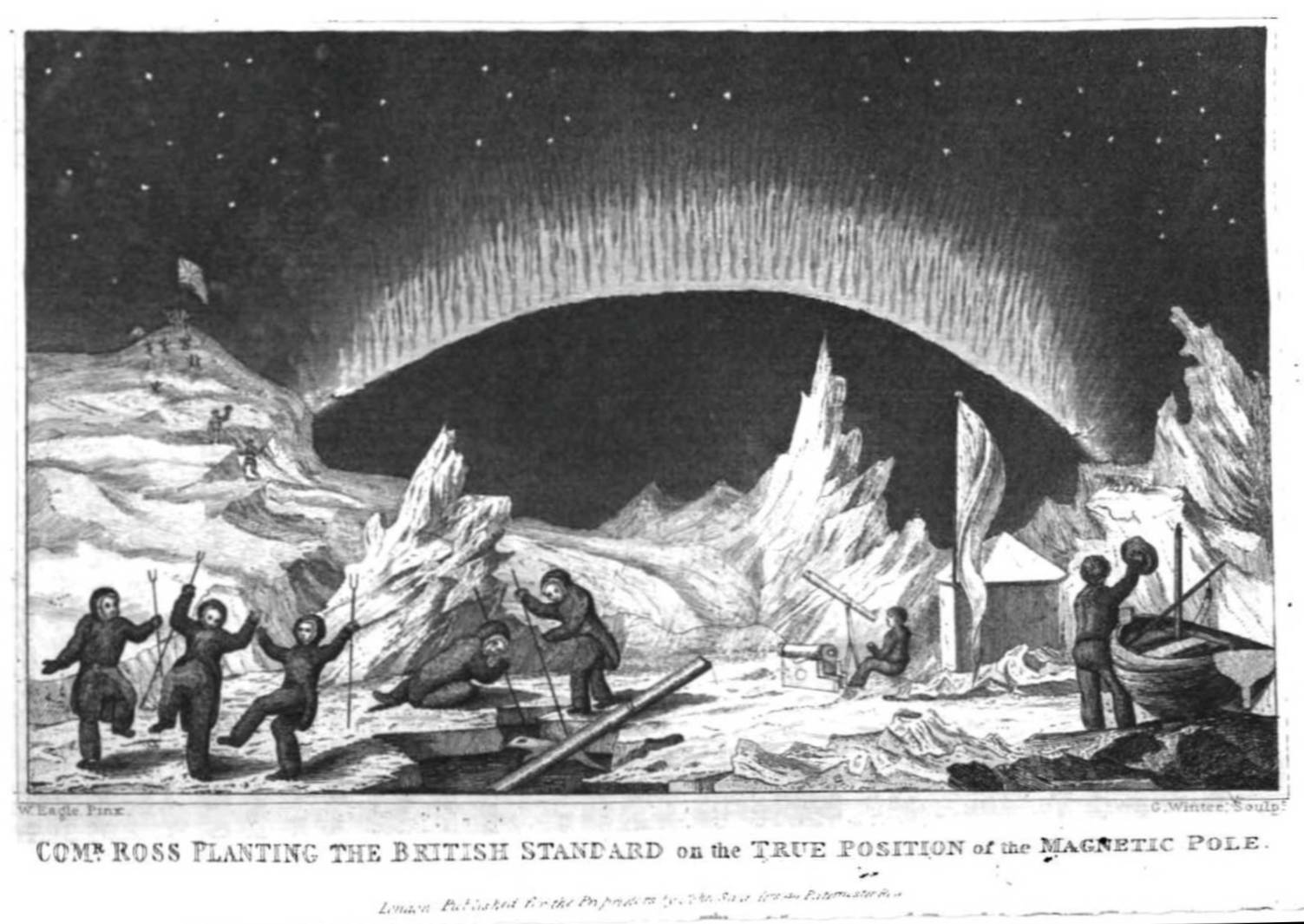
Sir James Clark Ross (15 April 1800 – 3 April 1862) was a British Royal Navy officer and polar explorer known for his explorations of the Arctic, participating in two expeditions led by his uncle Sir John Ross, John Ross, and four led by Sir William Parry, William Edward Parry, and, in particular, for Ross expedition, his own Antarctic expedition from 1839 to 1843. Biography Early life Ross was born in London, the son of George Ross and nephew of Sir John Ross, John Ross, under whom he entered the Royal Navy on 5 April 1812. Ross was an active participant in the Napoleonic Wars, being present at an action where HMS Briseis (1808), HMS ''Briseis'', commanded by his uncle, captured ''Le Petit Poucet'' (a French privateer) on 9 October 1812. Ross then served successively with his uncle on HMS Acteon (1805), HMS ''Actaeon'' and HMS Driver (1840), HMS ''Driver''. Arctic exploration Ross participated in John's unsuccessful first Arctic voyage in search of a Northwest ... [...More Info...] [...Related Items...] OR: [Wikipedia] [Google] [Baidu] |
Samuel Hunter Christie
Samuel Hunter Christie FRS (22 March 1784 – 24 January 1865) was a British physicist and mathematician. Life He studied mathematics at Trinity College, Cambridge, where he won the Smith's Prize and was second wrangler. He was particularly interested in magnetism, studying the Earth's magnetic field and designing improvements to the magnetic compass. Some of his magnetic research was done in collaboration with Peter Barlow. He became a Fellow of the Royal Society in 1826, delivered their Bakerian Lecture in 1833 and served as their Secretary from 1837 to 1853. In 1833 he published his 'diamond' method, the forerunner of the Wheatstone bridge, in a paper on the magnetic and electrical properties of metals, as a method for comparing the resistances of wires of different thicknesses. However, the method went unrecognised until 1843, when Charles Wheatstone proposed it, in another paper for the Royal Society, for measuring resistance in electrical circuits. Although Wheatst ... [...More Info...] [...Related Items...] OR: [Wikipedia] [Google] [Baidu] |
Royal Military Academy, Woolwich
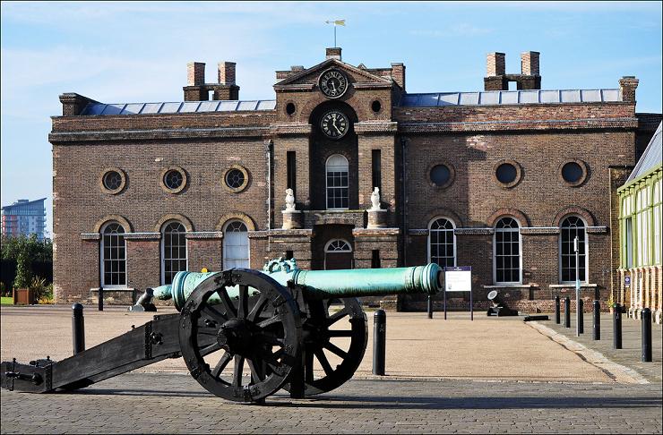
The Royal Military Academy (RMA) at Woolwich, in south-east London, was a British Army military academy for the training of commissioned officers of the Royal Artillery and Royal Engineers. It later also trained officers of the Royal Corps of Signals and other technical corps. RMA Woolwich was commonly known as "The Shop" because its first building was a converted workshop of the Woolwich Arsenal. History Origins in the Royal Arsenal An attempt had been made by the Board of Ordnance in 1720 to set up an academy within its Arsenal (then known as the Warren) to provide training and education for prospective officers of its new Regiment of Artillery and Corps of Engineers (both of which had been established there in 1716). A new building was being constructed in readiness for the Academy and funds had been secured, seemingly, through investment in the South Sea Company; but the latter's collapse led to plans for the Academy being placed on hold. After this false start, the aca ... [...More Info...] [...Related Items...] OR: [Wikipedia] [Google] [Baidu] |
Headlands Of Victoria Land
A headland, also known as a head, is a coastal landform, a point of land usually high and often with a sheer drop, that extends into a body of water. It is a type of promontory. A headland of considerable size often is called a cape.Whittow, John (1984). ''Dictionary of Physical Geography''. London: Penguin, 1984, pp. 80, 246. . Headlands are characterised by high, breaking waves, rocky shores, intense erosion, and steep sea cliff. Headlands and bays are often found on the same coastline. A bay is flanked by land on three sides, whereas a headland is flanked by water on three sides. Headlands and bays form on discordant coastlines, where bands of rock of alternating resistance run perpendicular to the coast. Bays form when weak (less resistant) rocks (such as sands and clays) are eroded, leaving bands of stronger (more resistant) rocks (such as chalk, limestone, and granite) forming a headland, or peninsula. Through the deposition of sediment within the bay and the erosion of th ... [...More Info...] [...Related Items...] OR: [Wikipedia] [Google] [Baidu] |


