|
CS Sovereign
''C.S. Sovereign'' is a class DP2 type cable ship used for subsea cable installation and repair works. The ship was designed by BT Marine with Hart Fenton & Company as Naval Architects (now Houlder Ltd) and built by Van der Giessen de Noord in 1991. ''C.S. Sovereign'' has four cable tanks. Two main tanks each have a capacity of or 2,668 tonnes. Two wing tanks have a capacity of or 432 tonnes each. The vessel is equipped with two hydraulic powered drums in diameter and four wheel pair haul-off gears. Main cable works * 1992 – SAT-2 (CS ''Vercors'' laid the cable from Melkbosstrand to the first branching unit; ''C.S. Sovereign'' laid the remainder) * 1995–1996 – TAT-12/13 * 1999 – ESAT 2 ( Ainsdale Sands, England – Dublin, Ireland) * 2006 – Estlink (power cable) * 2008 – BT LIBERTY ( Guernsey–England) * 2008 – NORTHERN LIGHTS (Dunnet Bay, Scotland – Skaill, Orkney Islands) * 2009 – HANNIBAL (Kelibia, Tunisia – Mazara del Vallo, Italy) * ... [...More Info...] [...Related Items...] OR: [Wikipedia] [Google] [Baidu] |
|
 |
Wilhelmshaven
Wilhelmshaven (, ''Wilhelm's Harbour''; Northern Low Saxon: ''Willemshaven'') is a coastal town in Lower Saxony, Germany. It is situated on the western side of the Jade Bight, a bay of the North Sea, and has a population of 76,089. Wilhelmshaven is the centre of the "Jade Bay" business region (which has around 330,000 inhabitants) and is Germany's main military port. The adjacent Lower Saxony Wadden Sea National Park (part of the Wattenmeer UNESCO World Natural Heritage Site) provides the basis for the major tourism industry in the region. History The , built before 1383, operated as a pirate stronghold; the Hanseatic League destroyed it in 1433. Four centuries later, the Kingdom of Prussia planned a fleet and a harbour on the North Sea. In 1853, Prince Adalbert of Prussia, a cousin of the Prussian King Frederick William IV, arranged the Jade Treaty (''Jade-Vertrag'') with the Grand Duchy of Oldenburg, in which Prussia and the Grand Duchy entered into a contract where ... [...More Info...] [...Related Items...] OR: [Wikipedia] [Google] [Baidu] |
|
Estlink
Estlink is a set of HVDC submarine power cables between Estonia and Finland. Estlink 1 is the first interconnection between the Baltic and Nordic electricity markets followed by Estlink 2 in 2014. The main purpose of the Estlink connection is to secure power supply in both regions to integrate the Baltic and Nordic energy markets. Estlink 1 History First plans for a submarine power cable between the Baltic and the Nordic regions were proposed in 1990s. Negotiations between Eesti Energia, Pohjolan Voima, Helsingin Energia, Graninge (now E.ON Sverige), Latvenergo, Statkraft and TXE Nordic Energy, a subsidiary of TXU (now Energy Future Holdings Corporation) started In 1999, and on 9 October 2001 a contract was signed in Tallinn. However, only after the harsh winter of 2002–2003 which resulted in an increased demand for power, the project of the submarine cable between Estonia and Finland got a boost. The letter of intention for underwater sea cable was signed betwe ... [...More Info...] [...Related Items...] OR: [Wikipedia] [Google] [Baidu] |
|
 |
Orkney Islands
Orkney (; sco, Orkney; on, Orkneyjar; nrn, Orknøjar), also known as the Orkney Islands, is an archipelago in the Northern Isles of Scotland, situated off the north coast of the island of Great Britain. Orkney is 10 miles (16 km) north of the coast of Caithness and has about 70 islands, of which 20 are inhabited. The largest island, the Mainland, has an area of , making it the sixth-largest Scottish island and the tenth-largest island in the British Isles. Orkney’s largest settlement, and also its administrative centre, is Kirkwall. Orkney is one of the 32 council areas of Scotland, as well as a constituency of the Scottish Parliament, a lieutenancy area, and an historic county. The local council is Orkney Islands Council, one of only three councils in Scotland with a majority of elected members who are independents. The islands have been inhabited for at least years, originally occupied by Mesolithic and Neolithic tribes and then by the Picts. Orkney wa ... [...More Info...] [...Related Items...] OR: [Wikipedia] [Google] [Baidu] |
|
Suriname
Suriname (; srn, Sranankondre or ), officially the Republic of Suriname ( nl, Republiek Suriname , srn, Ripolik fu Sranan), is a country on the northeastern Atlantic coast of South America. It is bordered by the Atlantic Ocean to the north, French Guiana to the east, Guyana to the west, and Brazil to the south. At just under , it is the smallest sovereign state in South America. It has a population of approximately , dominated by descendants from the slaves and labourers brought in from Africa and Asia by the Dutch Empire and Republic. Most of the people live by the country's (north) coast, in and around its capital and largest city, Paramaribo. It is also one of the least densely populated countries on Earth. Situated slightly north of the equator, Suriname is a tropical country dominated by rainforests. Its extensive tree cover is vital to the country's efforts to mitigate climate change and maintain carbon negativity. A developing country with a relatively high ... [...More Info...] [...Related Items...] OR: [Wikipedia] [Google] [Baidu] |
|
 |
Paramaribo
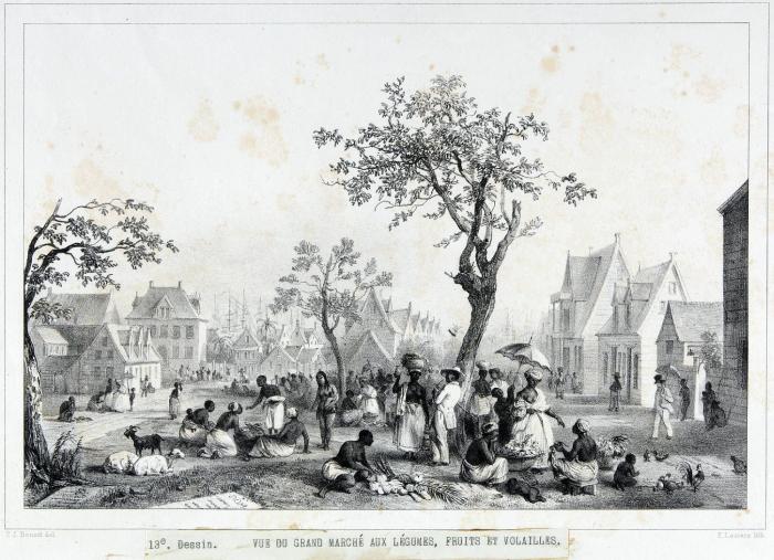
Paramaribo (; ; nicknamed Par'bo) is the capital and largest city of Suriname, located on the banks of the Suriname River in the Paramaribo District. Paramaribo has a population of roughly 241,000 people (2012 census), almost half of Suriname's population. The historic inner city of Paramaribo has been a UNESCO World Heritage Site since 2002. Name The city is named for the Paramaribo tribe living at the mouth of the Suriname River; the name is from Tupi–Guarani ''para'' "large river" + ''maribo'' "inhabitants". History The name Paramaribo is probably a corruption of the name of an Indian village, spelled Parmurbo in the earliest Dutch sources. This was the location of the first Dutch settlement, a trading post established by Nicolaes Baliestel and Dirck Claeszoon van Sanen in 1613. English and French traders also tried to establish settlements in Suriname, including a French post established in 1644 near present-day Paramaribo. All earlier settlements were abandoned ... [...More Info...] [...Related Items...] OR: [Wikipedia] [Google] [Baidu] |
_-_Copy.jpg) |
Georgetown, Guyana
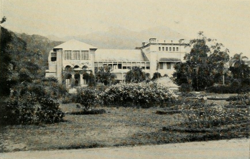
Georgetown is the capital (political), capital and largest city of Guyana. It is situated in Demerara-Mahaica, region 4, on the Atlantic Ocean coast, at the mouth of the Demerara River. It is nicknamed the "Garden City of the Caribbean." It is the retail, administrative, and financial services centre of the country, and the city accounts for a large portion of Guyana's GDP. The city recorded a population of 118,363 in the 2012 census. All executive departments of Guyana's government are located in the city, including Parliament Building, Guyana, Parliament Building, Guyana's Legislative Building and the Court of Appeals, Guyana's highest judicial court. The State House, Guyana, State House (the official residence of the head of state), as well as the offices and residence of the head of government, are both located in the city. The Caribbean Community, CARICOM headquarters is also based in Georgetown. Georgetown is also known for its British colonial architecture, including th ... [...More Info...] [...Related Items...] OR: [Wikipedia] [Google] [Baidu] |
 |
Trinidad
Trinidad is the larger and more populous of the two major islands of Trinidad and Tobago. The island lies off the northeastern coast of Venezuela and sits on the continental shelf of South America. It is often referred to as the southernmost island in the West Indies. With an area of , it is also the fifth largest in the West Indies. Name The original name for the island in the Arawaks' language was which meant "Land of the Hummingbird". Christopher Columbus renamed it ('The Island of the Trinity'), fulfilling a vow he had made before setting out on his third voyage. This has since been shortened to ''Trinidad''. History Caribs and Arawaks lived in Trinidad long before Christopher Columbus encountered the islands on his third voyage on 31 July 1498. The island remained Spanish until 1797, but it was largely settled by French colonists from the French Caribbean, especially Martinique.Besson, Gerard (2000-08-27). "Land of Beginnings – A historical digest", ''Newsday Ne ... [...More Info...] [...Related Items...] OR: [Wikipedia] [Google] [Baidu] |
 |
Port Of Spain
Port of Spain ( Spanish: ''Puerto España''), officially the City of Port of Spain (also stylized Port-of-Spain), is the capital of Trinidad and Tobago and the third largest municipality, after Chaguanas and San Fernando. The city has a municipal population of 37,074 (2011 census), an urban population of 81,142 (2011 estimate) and a transient daily population of 250,000. It is located on the Gulf of Paria, on the northwest coast of the island of Trinidad and is part of a larger conurbation stretching from Chaguaramas in the west to Arima in the east with an estimated population of 600,000. The city serves primarily as a retail and administrative centre and it has been the capital of the island since 1757. It is also an important financial services centre for the CaribbeanCIA World Factbook Trinid ... [...More Info...] [...Related Items...] OR: [Wikipedia] [Google] [Baidu] |
|
Italy
Italy ( it, Italia ), officially the Italian Republic, ) or the Republic of Italy, is a country in Southern Europe. It is located in the middle of the Mediterranean Sea, and its territory largely coincides with the homonymous geographical region. Italy is also considered part of Western Europe, and shares land borders with France, Switzerland, Austria, Slovenia and the enclaved microstates of Vatican City and San Marino. It has a territorial exclave in Switzerland, Campione. Italy covers an area of , with a population of over 60 million. It is the third-most populous member state of the European Union, the sixth-most populous country in Europe, and the tenth-largest country in the continent by land area. Italy's capital and largest city is Rome. Italy was the native place of many civilizations such as the Italic peoples and the Etruscans, while due to its central geographic location in Southern Europe and the Mediterranean, the country has also historically b ... [...More Info...] [...Related Items...] OR: [Wikipedia] [Google] [Baidu] |
|
 |
Mazara Del Vallo
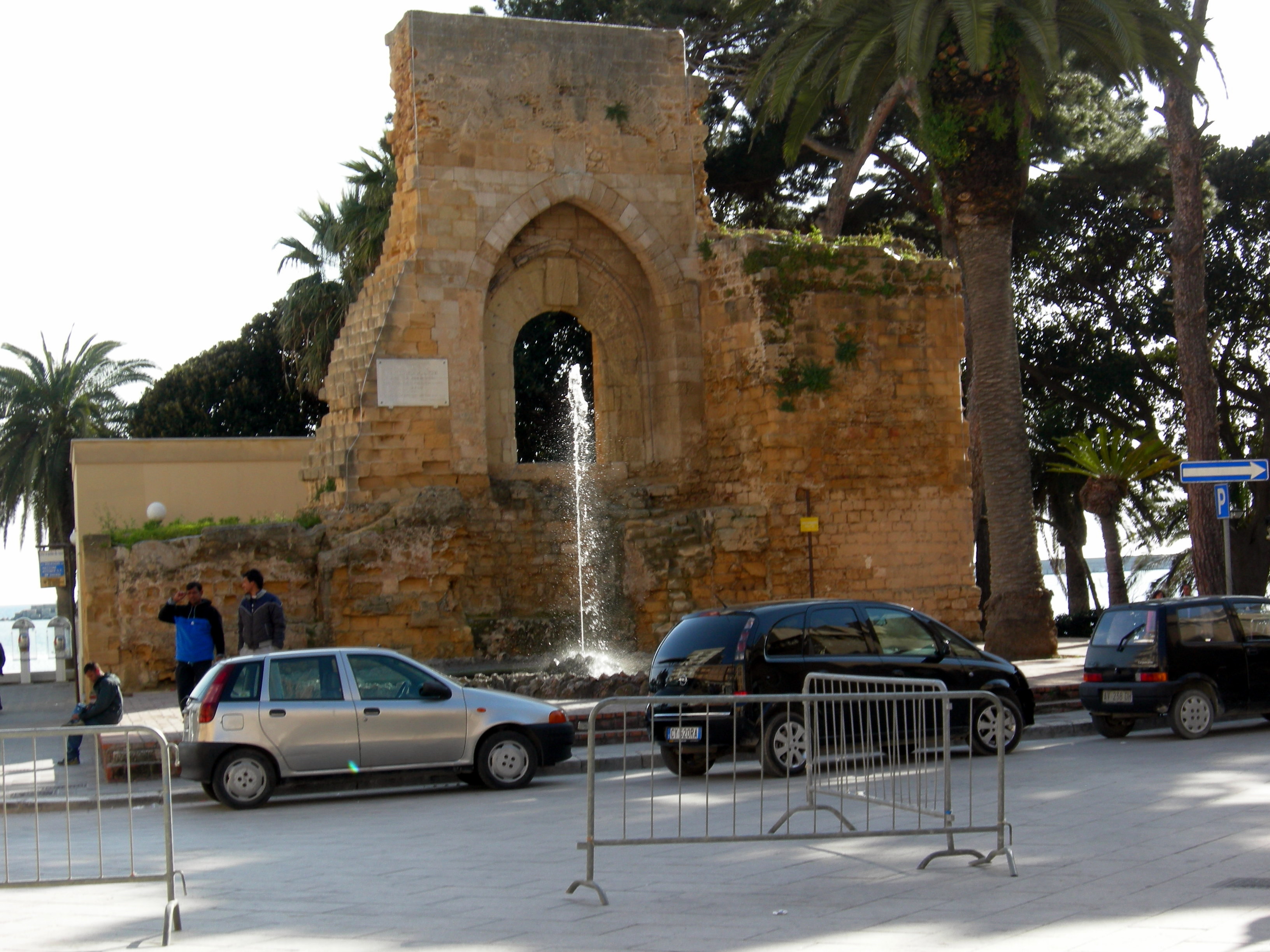
Mazara del Vallo (; ) is a town and ''comune'' in the province of Trapani, southwestern Sicily, Italy. It lies mainly on the left bank at the mouth of the Mazaro river. It is an agricultural and fishing centre and its port gives shelter to the largest fishing fleet in Italy. Recently it has been a hotspot for migrants from North Africa. History Etymology and origins Mazara was founded by the Phoenicians in the 9th century BC with the name of ''Mazar'' who made it an important mercantile emporium. The discovery of Phoenician vases demonstrate the existence of a Phoenician port built between the 6th and 5th centuries BC. Other evidence is in the palace of the Knights of Malta, where finds show the existence of the ancient Punic trading post. Also a stone slab engraved with a Phoenician inscription found in the channel of the river Màzaro is now preserved in the Museum of the Dancing Satyr. It then passed under the control of Greeks, Carthaginians, Romans, Vandals, Ostrogo ... [...More Info...] [...Related Items...] OR: [Wikipedia] [Google] [Baidu] |
|
Tunisia
) , image_map = Tunisia location (orthographic projection).svg , map_caption = Location of Tunisia in northern Africa , image_map2 = , capital = Tunis , largest_city = capital , coordinates = , official_languages = Arabic Translation by the University of Bern: "Tunisia is a free State, independent and sovereign; its religion is the Islam, its language is Arabic, and its form is the Republic." , religion = , languages_type = Spoken languages , languages = Minority Dialects : Jerba Berber (Chelha) Matmata Berber Judeo-Tunisian Arabic (UNESCO CR) , languages2_type = Foreign languages , languages2 = , ethnic_groups = * 98% Arab * 2% Other , demonym = Tunisian , government_type = Unitary presidential republic , leader_title1 = President , leader_name1 = Kais Saied , leader_t ... [...More Info...] [...Related Items...] OR: [Wikipedia] [Google] [Baidu] |
|
.png) |
Kelibia
Kelibia (Kélibia) ( ar, قليبية, link=no '), often referred to as Klibia or Gallipia by European writers, is a coastal town on the Cap Bon peninsula, Nabeul Governorate in the far north-eastern part of Tunisia. Its sand beaches are considered some of the finest in the Mediterranean. History Known in Roman times as Clypia or Clupea, ( grc, Κλυπέα) the town was founded by the Carthaginians as the fortified town of Aspis ( grc, Ἀσπίς) in the 5th century BC. The Siege of Aspis in 255BC was the first African battle of the First Punic War. Clupea was also the seat of an ancient Christian bishopric. At the Council of Carthage (411), which brought together Catholic and Donatist bishops, Clypia was represented by Bishop Leodicius and the Donatist Geminius. Aurilius was one of the bishops whom the Arian Vandal king Huneric summoned to Carthage in 484 and then exiled. Two other bishops of Clypia took part in the Council of Carthage (525) (Bishop Crescentius) and Co ... [...More Info...] [...Related Items...] OR: [Wikipedia] [Google] [Baidu] |