|
CIRES
The Cooperative Institute for Research in Environmental Sciences (CIRES) is a research institute that is sponsored jointly by the National Oceanic and Atmospheric Administration (NOAA) Office of Oceanic and Atmospheric Research (OAR) and the University of Colorado Boulder (CU). CIRES scientists study the Earth system, including the atmosphere, hydrosphere, cryosphere, biosphere, and geosphere, and communicate these findings to decision makers, the scientific community, and the public. It is one of 16 NOAA Cooperative Institutes (CIs). History and research CIRES was established in 1967 and is the oldest and largest of NOAA's cooperative institutes nationwide. CIRES facilitates interdisciplinary collaboration between researchers at the University of Colorado and NOAA's Office of Oceanic and Atmospheric Research (OAR), National Environmental Satellite, Data and Information Service (NESDIS), and the National Weather Service (NWS). CIRES includes more than 800 scientists, staff, and ... [...More Info...] [...Related Items...] OR: [Wikipedia] [Google] [Baidu] |
National Oceanic And Atmospheric Administration
The National Oceanic and Atmospheric Administration (NOAA ) is an American scientific and regulatory agency charged with Weather forecasting, forecasting weather, monitoring oceanic and atmospheric conditions, Hydrography, charting the seas, conducting deep-sea exploration, and managing fishing and protection of marine mammals and endangered species in the US exclusive economic zone. The agency is part of the United States Department of Commerce and is headquartered in Silver Spring, Maryland. History NOAA traces its history back to multiple agencies, some of which are among the earliest in the federal government: * United States Coast and Geodetic Survey, formed in 1807 * National Weather Service, Weather Bureau of the United States, formed in 1870 * United States Fish Commission, Bureau of Commercial Fisheries, formed in 1871 (research fleet only) * NOAA Commissioned Corps, Coast and Geodetic Survey Corps, formed in 1917 The most direct predecessor of NOAA was the Enviro ... [...More Info...] [...Related Items...] OR: [Wikipedia] [Google] [Baidu] |
Office Of Oceanic And Atmospheric Research
Oceanic and Atmospheric Research (OAR) is a division of the National Oceanic and Atmospheric Administration (NOAA). OAR is also referred to as NOAA Research. NOAA Research is the research and development arm of NOAA and is the driving force behind NOAA Natural environment, environmental products and services aimed at protecting life and property and promoting sustainable economic growth. Research, conducted by programs within NOAA and through collaborations outside NOAA, focuses on enhancing the understanding of environmental phenomena such as tornadoes, hurricanes, climate variability, changes in the ozone layer, El Niño-Southern Oscillation, El Niño/La Niña events, Fishery, fisheries productivity, ocean currents, deep sea thermal vents, and Coastal ecosystems, coastal ecosystem health. The origins of NOAA Research date to the creation of the Survey of the Coast (renamed the United States Coast Survey in 1836 and the United States Coast and Geodetic Survey in 1878) by Presid ... [...More Info...] [...Related Items...] OR: [Wikipedia] [Google] [Baidu] |
Land Use
Land use is an umbrella term to describe what happens on a parcel of land. It concerns the benefits derived from using the land, and also the land management actions that humans carry out there. The following categories are used for land use: forest land, cropland ( agricultural land), grassland, wetlands, settlements and other lands. The way humans use land, and how land use is changing, has many impacts on the environment. Effects of land use choices and changes by humans include, for example, urban sprawl, soil erosion, soil degradation, land degradation and desertification. Land use and land management practices have a major impact on natural resources including water, soil, nutrients, plants and animals. ''Land use change'' is "the change from one land-use category to another". Land-use change, together with use of fossil fuels, are the major anthropogenic sources of carbon dioxide, a dominant greenhouse gas. Human activity is the most significant cause of land c ... [...More Info...] [...Related Items...] OR: [Wikipedia] [Google] [Baidu] |
Earth Observing System
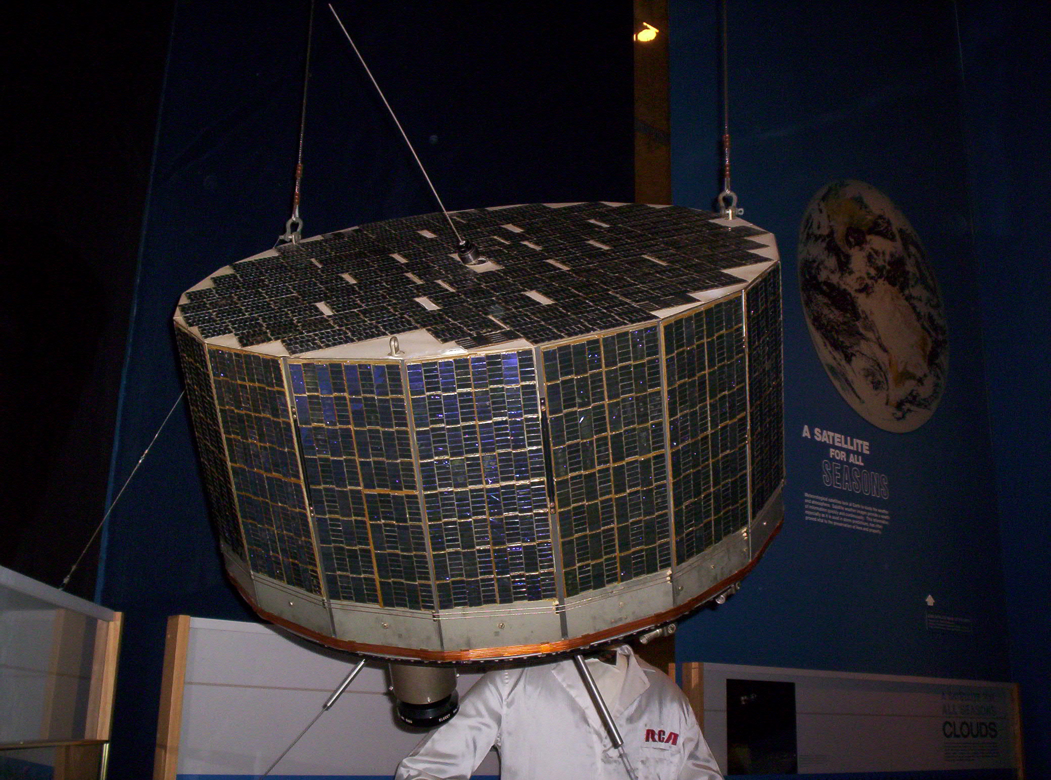
The Earth Observing System (EOS) is a program of NASA comprising a series of artificial satellite missions and scientific instruments in Earth orbit designed for long-term global observations of the land surface, biosphere, earth's atmosphere, atmosphere, and oceans. Since the early 1970s, NASA has been developing its Earth Observing System, launching a series of Landsat program, Landsat satellites in the decade. Some of the first included Passive microwave sensor, passive microwave imaging in 1972 through the Nimbus 5 satellite. Following the launch of various satellite missions, the conception of the program began in the late 1980s and expanded rapidly through the 1990s. Since the inception of the program, it has continued to develop, including; land, sea, radiation and atmosphere. Collected in a system known as EOSDIS, NASA uses this data in order to study the progression and changes in the biosphere of Earth. The main focus of this data collection surrounds climatic science. Th ... [...More Info...] [...Related Items...] OR: [Wikipedia] [Google] [Baidu] |
Permafrost
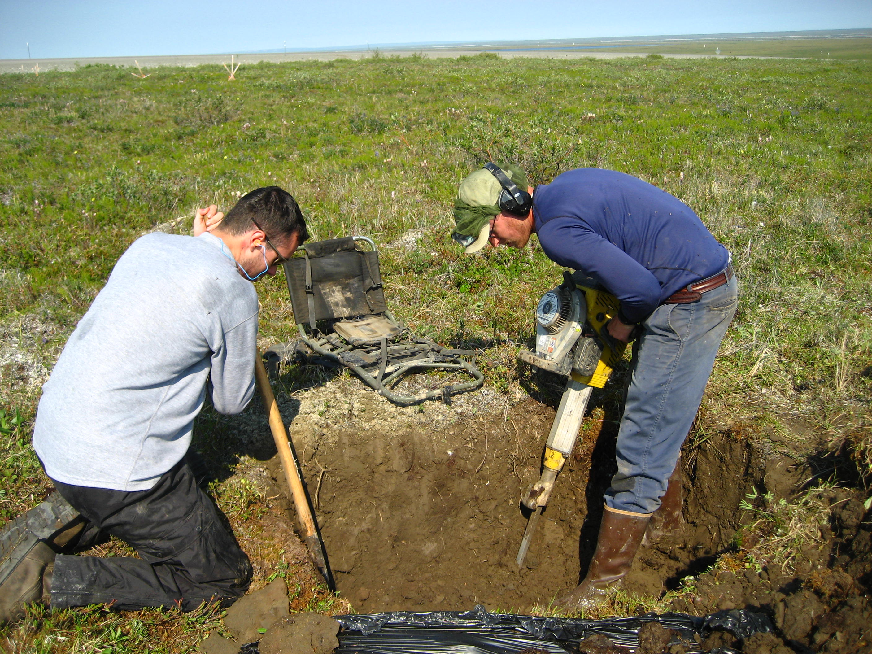
Permafrost () is soil or underwater sediment which continuously remains below for two years or more; the oldest permafrost has been continuously frozen for around 700,000 years. Whilst the shallowest permafrost has a vertical extent of below a meter (3 ft), the deepest is greater than . Similarly, the area of individual permafrost zones may be limited to narrow mountain summits or extend across vast Arctic regions. The ground beneath glaciers and ice sheets is not usually defined as permafrost, so on land, permafrost is generally located beneath a so-called active layer of soil which freezes and thaws depending on the season. Around 15% of the Northern Hemisphere or 11% of the global surface is underlain by permafrost, covering a total area of around . This includes large areas of Alaska, Canada, Greenland, and Siberia. It is also located in high mountain regions, with the Tibetan Plateau being a prominent example. Only a minority of permafrost exists in the Southern Hemi ... [...More Info...] [...Related Items...] OR: [Wikipedia] [Google] [Baidu] |
Snow Cover
Snow consists of individual ice crystals that grow while suspended in the atmosphere—usually within clouds—and then fall, accumulating on the ground where they undergo further changes. It consists of frozen crystalline water throughout its life cycle, starting when, under suitable conditions, the ice crystals form in the atmosphere, increase to millimeter size, precipitate and accumulate on surfaces, then metamorphose in place, and ultimately melt, slide, or Sublimation (phase transition), sublimate away. Snowstorms organize and develop by feeding on sources of atmospheric moisture and cold air. Snowflakes Nucleation, nucleate around particles in the atmosphere by attracting supercooling, supercooled water droplets, which Freezing, freeze in hexagonal-shaped crystals. Snowflakes take on a variety of shapes, basic among these are platelets, needles, columns, and Hard rime, rime. As snow accumulates into a snowpack, it may blow into drifts. Over time, accumulated snow m ... [...More Info...] [...Related Items...] OR: [Wikipedia] [Google] [Baidu] |
Glacier
A glacier (; or ) is a persistent body of dense ice, a form of rock, that is constantly moving downhill under its own weight. A glacier forms where the accumulation of snow exceeds its ablation over many years, often centuries. It acquires distinguishing features, such as crevasses and seracs, as it slowly flows and deforms under stresses induced by its weight. As it moves, it abrades rock and debris from its substrate to create landforms such as cirques, moraines, or fjords. Although a glacier may flow into a body of water, it forms only on land“Glacier, N., Pronunciation.” Oxford English Dictionary, Oxford UP, June 2024, https://doi.org/10.1093/OED/7553486115. Accessed 25 Jan. 2025. and is distinct from the much thinner sea ice and lake ice that form on the surface of bodies of water. On Earth, 99% of glacial ice is contained within vast ice sheets (also known as "continental glaciers") in the polar regions, but glaciers may be found in mountain ranges on ever ... [...More Info...] [...Related Items...] OR: [Wikipedia] [Google] [Baidu] |
Ice Sheet
In glaciology, an ice sheet, also known as a continental glacier, is a mass of glacier, glacial ice that covers surrounding terrain and is greater than . The only current ice sheets are the Antarctic ice sheet and the Greenland ice sheet. Ice sheets are bigger than ice shelf, ice shelves or alpine glaciers. Masses of ice covering less than 50,000 km2 are termed an ice cap. An ice cap will typically feed a series of glaciers around its periphery. Although the surface is cold, the base of an ice sheet is generally warmer due to Geothermal activity, geothermal heat. In places, melting occurs and the melt-water lubricates the ice sheet so that it flows more rapidly. This process produces fast-flowing channels in the ice sheet — these are ice streams. Even stable ice sheets are continually in motion as the ice gradually flows outward from the central plateau, which is the tallest point of the ice sheet, and towards the margins. The ice sheet slope is low around the plate ... [...More Info...] [...Related Items...] OR: [Wikipedia] [Google] [Baidu] |
Waleed Abdalati
Waleed Abdalati held the position of NASA Chief Scientist from 3 January 2011 through December 2012. Abdalati was named to this position on 13 December 2010 by NASA Administrator Charles Bolden. Abdalati previously served NASA as Head of Cryospheric Sciences at Goddard Space Flight Center between January 2004 and June 2008. Early life and education Abdalati grew up in New Hartford, New York and lost his father at age 12. Abdalati earned a Bachelor of Science (cum laude) from Syracuse University Department of Mechanical and Aerospace Engineering in 1986, and later completed his graduate studies at the University of Colorado, where he received a M.Sc. in 1991 from the Department of Aerospace Engineering Sciences and a Ph.D. in 1996 from the Department of Geography. In his doctoral research, Abdalati developed an algorithm to use the ratio of two microwave bands of the Special Sensor Microwave/Imager (SSM/I) sensor aboard Defense Meteorological Satellite Program (DMSP) vehicles to ... [...More Info...] [...Related Items...] OR: [Wikipedia] [Google] [Baidu] |
Risk Assessment
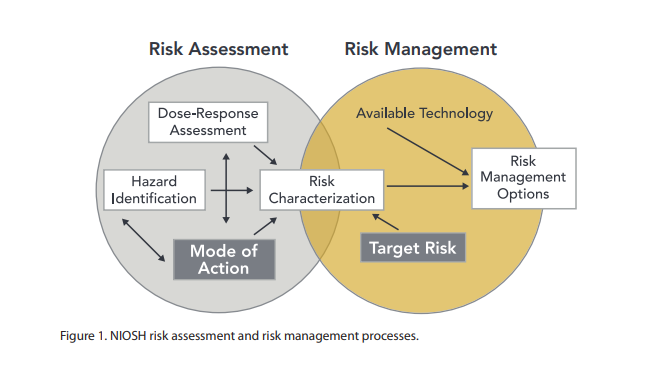
Risk assessment is a process for identifying hazards, potential (future) events which may negatively impact on individuals, assets, and/or the environment because of those hazards, their likelihood and consequences, and actions which can mitigate these effects. The output from such a process may also be called a risk assessment. Hazard analysis forms the first stage of a risk assessment process. Judgments "on the tolerability of the risk on the basis of a risk analysis" (i.e. risk evaluation) also form part of the process. The results of a risk assessment process may be expressed in a quantitative or qualitative fashion. Risk assessment forms a key part of a broader risk management strategy to help reduce any potential risk-related consequences. Categories Individual risk assessment Risk assessments can be undertaken in individual cases, including in patient and physician interactions. In the narrow sense chemical risk assessment is the assessment of a health risk in response ... [...More Info...] [...Related Items...] OR: [Wikipedia] [Google] [Baidu] |
Earthquake
An earthquakealso called a quake, tremor, or tembloris the shaking of the Earth's surface resulting from a sudden release of energy in the lithosphere that creates seismic waves. Earthquakes can range in intensity, from those so weak they cannot be felt, to those violent enough to propel objects and people into the air, damage critical infrastructure, and wreak destruction across entire cities. The seismic activity of an area is the frequency, type, and size of earthquakes experienced over a particular time. The seismicity at a particular location in the Earth is the average rate of seismic energy release per unit volume. In its most general sense, the word ''earthquake'' is used to describe any seismic event that generates seismic waves. Earthquakes can occur naturally or be induced by human activities, such as mining, fracking, and nuclear weapons testing. The initial point of rupture is called the hypocenter or focus, while the ground level directly above it is the ... [...More Info...] [...Related Items...] OR: [Wikipedia] [Google] [Baidu] |


