|
Buckland Filleigh
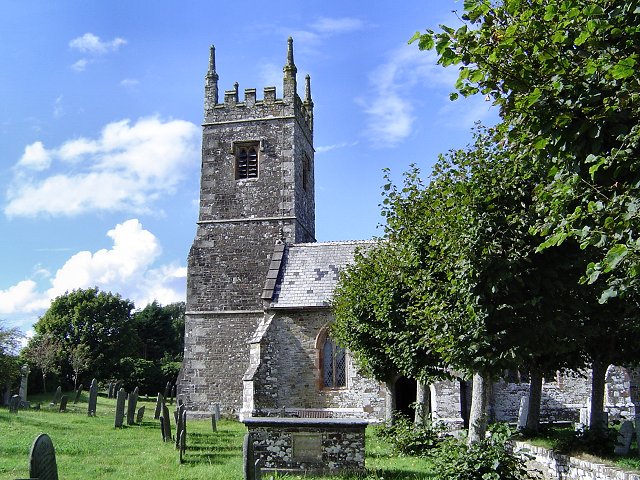
Buckland Filleigh is a village, civil parish and former manor in the Torridge district of North Devon, England, situated about 8 miles south of the town of Great Torrington. According to the 2001 census, the parish had a population of 170. It is surrounded clockwise from the north by the parishes of Peters Marland, Petrockstowe, Highampton, Sheepwash and Shebbear. Within the parish is the manor house known as Buckland House, damaged by fire in 1798 and rebuilt in 1810 in the neo-classical style by John Inglett Fortescue (1758–1841) to the designs of the architect James Green. History The manor of Buckland Filleigh is listed in the Domesday Book Domesday Book ( ; the Middle English spelling of "Doomsday Book") is a manuscript record of the Great Survey of much of England and parts of Wales completed in 1086 at the behest of William the Conqueror. The manuscript was originally known by ... and was later held successively by the families of de Filleigh, Denzell, For ... [...More Info...] [...Related Items...] OR: [Wikipedia] [Google] [Baidu] |
Civil Parish
In England, a civil parish is a type of administrative parish used for local government. It is a territorial designation which is the lowest tier of local government. Civil parishes can trace their origin to the ancient system of parishes, which for centuries were the principal unit of secular and religious administration in most of England and Wales. Civil and religious parishes were formally split into two types in the 19th century and are now entirely separate. Civil parishes in their modern form came into being through the Local Government Act 1894 ( 56 & 57 Vict. c. 73), which established elected parish councils to take on the secular functions of the parish vestry. A civil parish can range in size from a sparsely populated rural area with fewer than a hundred inhabitants, to a large town with a population in excess of 100,000. This scope is similar to that of municipalities in continental Europe, such as the communes of France. However, unlike their continental Euro ... [...More Info...] [...Related Items...] OR: [Wikipedia] [Google] [Baidu] |
Manorialism
Manorialism, also known as seigneurialism, the manor system or manorial system, was the method of land ownership (or "Land tenure, tenure") in parts of Europe, notably France and later England, during the Middle Ages. Its defining features included a large, sometimes fortified manor house in which the lord of the manor and his dependants lived and administered a rural estate, and a population of labourers or Serfdom, serfs who worked the surrounding land to support themselves and the lord. These labourers fulfilled their obligations with labour time or in-kind produce at first, and later by cash payment as commercial activity increased. Manorialism was part of the Feudalism, feudal system. Manorialism originated in the Roman villa system of the Late Roman Empire, and was widely practised in Middle Ages, medieval western Europe and parts of central Europe. An essential element of feudal society, manorialism was slowly replaced by the advent of a money-based market economy and new ... [...More Info...] [...Related Items...] OR: [Wikipedia] [Google] [Baidu] |
Torridge District
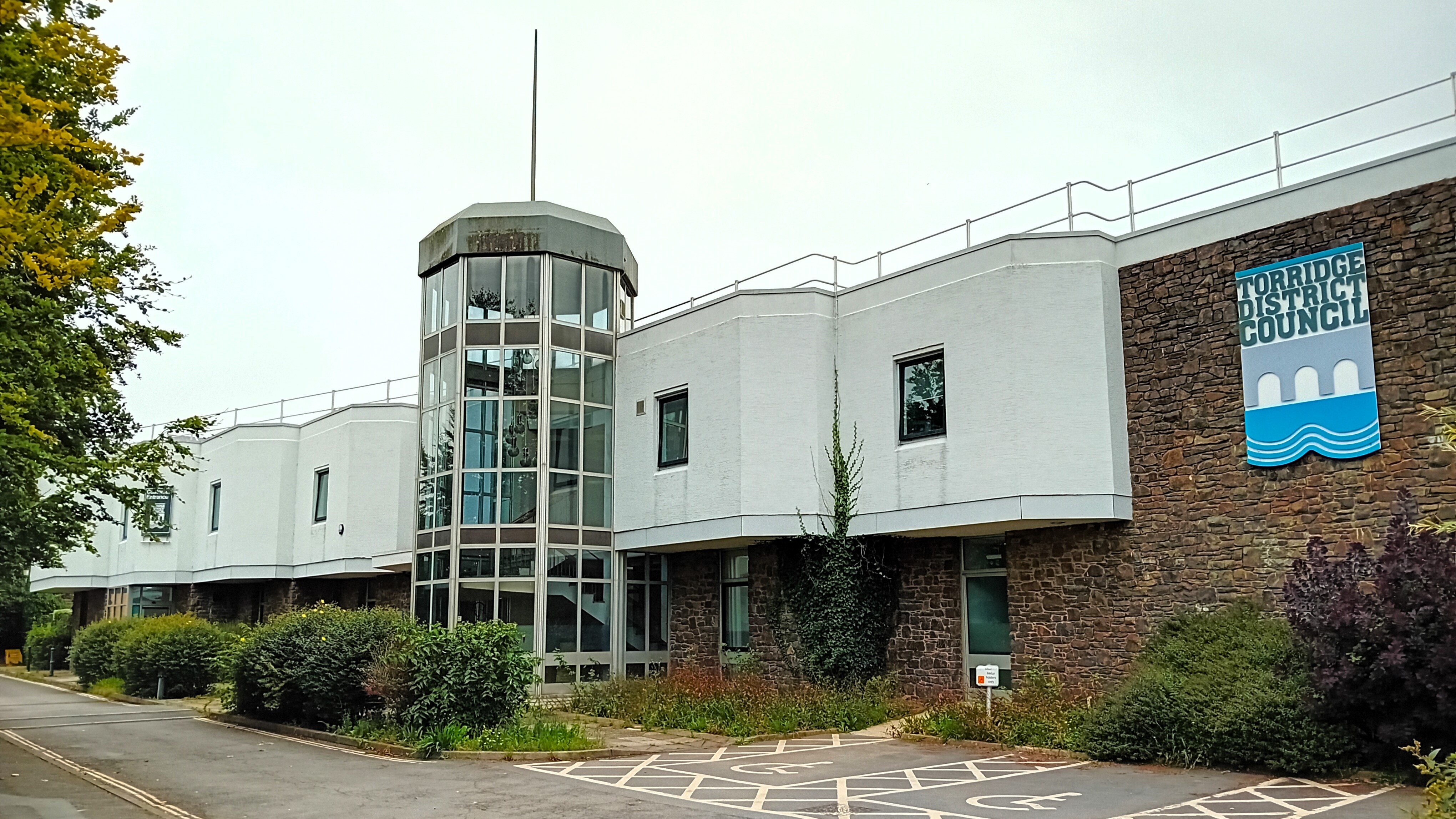
Torridge is a Non-metropolitan district, local government district in north-west Devon, England. Its council is based in the town of Bideford. The district also includes the towns of Great Torrington, Holsworthy, Devon, Holsworthy and Northam, Devon, Northam, along with numerous villages and surrounding rural areas. The island of Lundy forms part of the district. The district is named after the River Torridge. The district's coast is recognised for its natural beauty, forming part of the North Devon Coast, an Area of Outstanding Natural Beauty. The South West Coast Path runs through the area. The neighbouring districts are North Devon, Mid Devon, West Devon and Cornwall. History The district was formed on 1 April 1974 under the Local Government Act 1972. The new district covered the area of six former districts, which were all abolished at the same time, plus Lundy Island: *Bideford Municipal Borough *Bideford Rural District *Great Torrington Municipal Borough *Holsworthy Rur ... [...More Info...] [...Related Items...] OR: [Wikipedia] [Google] [Baidu] |
Devon
Devon ( ; historically also known as Devonshire , ) is a ceremonial county in South West England. It is bordered by the Bristol Channel to the north, Somerset and Dorset to the east, the English Channel to the south, and Cornwall to the west. The city of Plymouth is the largest settlement, and the city of Exeter is the county town. The county has an area of and a population of 1,194,166. The largest settlements after Plymouth (264,695) are the city of Exeter (130,709) and the Seaside resort, seaside resorts of Torquay and Paignton, which have a combined population of 115,410. They all are located along the south coast, which is the most populous part of the county; Barnstaple (31,275) and Tiverton, Devon, Tiverton (22,291) are the largest towns in the north and centre respectively. For local government purposes Devon comprises a non-metropolitan county, with eight districts, and the Unitary authorities of England, unitary authority areas of Plymouth City Council, Plymouth an ... [...More Info...] [...Related Items...] OR: [Wikipedia] [Google] [Baidu] |
Great Torrington
Great Torrington (often abbreviated to Torrington, though the villages of Little Torrington and Black Torrington are situated in the same region) is a market town in Devon, England. Parts of it are sited on high ground with steep drops down to the River Torridge below, with the lower-lying parts of the town prone to occasional flooding. Torrington is in the centre of Tarka Country, a landscape captured by Henry Williamson in his novel ''Tarka the Otter'' in 1927. Great Torrington has one of the most active volunteering communities in the United Kingdom. In July 2019, Great Torrington was reported to be the healthiest place to live in Britain. Researchers from the University of Liverpool found that the area had low levels of pollution, good access to green space and health services, along with few retail outlets. History There were Iron Age and medieval castles and forts in Torrington, located on the Castle Hill, Torrington, Castle Hill. Great Torrington had strategic sign ... [...More Info...] [...Related Items...] OR: [Wikipedia] [Google] [Baidu] |
Peters Marland
Peters Marland is a small village and civil parish in the Non-metropolitan district, local government district of Torridge District, Torridge, Devon, England. The parish, which lies about four miles south of the town of Great Torrington, is surrounded clockwise from the north by the parishes of Little Torrington, Merton, Devon, Merton, Petrockstowe, Buckland Filleigh, Shebbear, Devon, Shebbear and Langtree. In 2001 its population was 234, down from the 286 residents it had in 1901. In 1850 the parish was recorded as covering 2,200 acres with 351 parishioners. At that time most of the land within the parish belonged to Rev. John Moore-Stevens (died 1865), Archdeacon of Exeter, whose son was living at Winscott House in the parish; much also belonged to G. Oldham of Twigbear. Both Winscott and Twigbear are former Manorialism, manors that have their origins before the Norman Conquest, as also are Week and Winswell in the parish. The parish church, in the village, is dedicated to St P ... [...More Info...] [...Related Items...] OR: [Wikipedia] [Google] [Baidu] |
Petrockstowe
Petrockstowe (or Petrockstow) is a small village and civil parish in the district of Torridge in Northern Devon, England. Its population in 2001 was 379, hardly different from the figure of 385 recorded in 1901. The southern boundary of the parish lies on the River Torridge, and it is surrounded, clockwise from the north, by the parishes of Peters Marland, Merton, Huish, Meeth, Highampton and Buckland Filleigh. The village lies about NNW of the town of Hatherleigh and is some west of the A386 road, accessible only by minor roads. Etymology The place was called Petrocestoua in the Domesday Book in 1086, in 1150 Petrochestona, and in 1202 Petroc. By 1272 it was called Patrichestowe and Petrokestowe in 1297. In 1535 it was called Stowe S"e'i Petroci. All the names mean St Petroc's place, for the patron saint Petroc. Stowe means "place of burial or the shrine of relics of the saint". By 1910, it was also called Padstow. The village is referred to by both spellings of ... [...More Info...] [...Related Items...] OR: [Wikipedia] [Google] [Baidu] |
Highampton
Highampton is a parish in Devon spread over approx. 4½ miles. It stands on a ridge with views of Dartmoor and Exmoor. Highampton is about 10 miles from Holsworthy, 9 miles from Okehampton and 3½ miles from Hatherleigh. The A3072 runs through Highampton. History Highampton was recorded in the Domesday Book Domesday Book ( ; the Middle English spelling of "Doomsday Book") is a manuscript record of the Great Survey of much of England and parts of Wales completed in 1086 at the behest of William the Conqueror. The manuscript was originally known by ... in 1086. The Lord in 1086 was Roger of Meulles with Highampton valued at £3. The Manor of Burdon The Manor of Burdon is an Ancient Manor dating back to Anglo-Saxon times. It is thought to be one of the oldest manors in Devon. The Manor was known as Buredune at the time of William the Conqueror's Domesday Book of 1086 and was later held by Lucya de Buredone in 1241 for one-tenth of a Knight's fee. The current owner of the ... [...More Info...] [...Related Items...] OR: [Wikipedia] [Google] [Baidu] |
Sheepwash, Devon
Sheepwash is a village and civil parish on the southern border of the local government district of Torridge, Devon, England. The parish, which lies about nine miles ENE of the town of Holsworthy, about eight miles south of Great Torrington and about ten miles north-west of Okehampton, is surrounded clockwise from the north by the parishes of Buckland Filleigh, Highampton and Black Torrington. Its southern boundary follows the River Torridge and most of its other boundaries are along watercourses too. In 2001 its population was 254, lower than the 326 residents it had in 1901. The name ''Sheepwash'' is first documented in 1166 (as ''Schepewast'') and means, as it sounds, a place where sheep were washed before shearing. The parish church, which is in the village, is dedicated to St Lawrence. It was completely rebuilt in 1880 and was described by W. G. Hoskins in 1954 as "dull". Other buildings worthy of notice in the parish are Newcourt Barton, about a mile north-east of the vill ... [...More Info...] [...Related Items...] OR: [Wikipedia] [Google] [Baidu] |
Shebbear, Devon
Shebbear (; ) is a village and civil parish in the Torridge district in Devon, England. History Shebbear was the third-largest settlement recorded in North Devon in the Domesday Book, having 76 households, 20 of which were slaves. It was unusual in having no Lord, rather being owned directly by the King. Its pre-conquest Saxon name Sceftbeara (Spear-shaft Wood) gives a clue to its historical importance. It was later centre of Shebbear Hundred, a historic administrative area comprising the land surrounded on three sides by the River Torridge and the island of Lundy. An electoral ward exists titled Shebbear & Langtree. The 2021 census population of the parish was 1,021. The village shares its name with the Shebbeare family, who owned land in the area, and of which 18th-century political satirist John Shebbeare was a member. Religion The church of St Michael and All Angels is the Church of England parish church in the centre of the village. The nave and chancel date back to th ... [...More Info...] [...Related Items...] OR: [Wikipedia] [Google] [Baidu] |
Manor House
A manor house was historically the main residence of the lord of the manor. The house formed the administrative centre of a manor in the European feudal system; within its great hall were usually held the lord's manorial courts, communal meals with manorial tenants and great banquets. The term is today loosely (though erroneously) applied to various English country houses, mostly at the smaller end of the spectrum, sometimes dating from the Late Middle Ages, which currently or formerly house the landed gentry. Manor houses were sometimes fortified, albeit not as fortified as castles, but this was often more for show than for defence. They existed in most European countries where feudalism was present. Function The lord of the manor may have held several properties within a county or, for example in the case of a feudal baron, spread across a kingdom, which he occupied only on occasional visits. Even so, the business of the manor was directed and controlled by regular mano ... [...More Info...] [...Related Items...] OR: [Wikipedia] [Google] [Baidu] |


