|
Brunkebergstunneln
The Brunkeberg Tunnel in Norrmalm, Stockholm, is a 231-metre-long passageway for pedestrians through the esker Brunkebergsåsen. The tunnel was inaugurated in 1886 by King Oscar II. See also * Tunnelgatan * Geography of Stockholm The City of Stockholm is situated on fourteen islands and on the banks to the archipelago where Lake Mälaren meets the Baltic Sea. The city centre is virtually situated on the water. The area of Stockholm is one of several places in Sweden wit ... Buildings and structures in Stockholm Tunnels in Sweden Tunnels completed in 1886 1886 establishments in Sweden {{tunnel-stub de:Brunkebergsåsen#Brunkebergstunnel ... [...More Info...] [...Related Items...] OR: [Wikipedia] [Google] [Baidu] |
Brunkebergsåsen
Brunkebergsåsen was an esker that once reached over much of Stockholm's Norrmalm district. Geologically, it is a part of the much larger Stockholmsåsen. It formed a considerable obstacle to traffic, effectively dividing Norrmalm into a western and an eastern part. Consequently, most of it has been dug away over the centuries to make room for the development of that district. The pedestrian tunnel Brunkebergstunneln and, since the 1910s, the eastern part of Kungsgatan cut through Brunkebergsåsen's southern part. Conspicuous remnants of the esker can be seen in the vicinity of Johannes kyrka, at Observatorielunden, and Vanadislunden. See also *Battle of Brunkeberg Further reading Essay, with several maps, on the city's development in Stockholm City Museum The Stockholm City Museum ( sv, Stadsmuseet i Stockholm) is a museum documenting, preserving and exhibiting the history of Stockholm. The museum is housed in Södra Stadshuset at Slussen on Södermalm. The building was ... [...More Info...] [...Related Items...] OR: [Wikipedia] [Google] [Baidu] |
Norrmalm
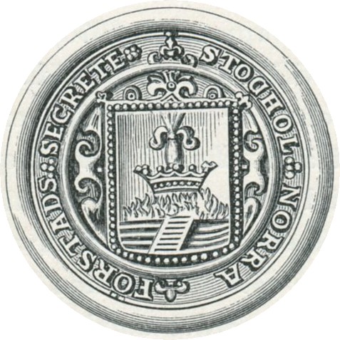
Norrmalm is a city district in Stockholm, Sweden. History Norrmalm is part of the larger borough of Norrmalm (''Norrmalms stadsdelsområde''). The southern part of the district, Lower Norrmalm (''Nedre Norrmalm''), also known as City, constitutes the most central part of Stockholm, while Upper Norrmalm (''Övre Norrmalm'') is more residential. The name Norrmalm is first mentioned in 1288. In 1602 Norrmalm became an independent city with its own mayor and administration called the Northern Suburb (''Norra Förstaden''). The town was short-lived and in 1635 it was incorporated with Stockholm again. Norrmalm is today considered to be the central part of Stockholm. Redevelopment of Norrmalm In the 1950s and 1960s, large parts of lower Norrmalm were torn down to build a new and modern city. The demolitions were carried out swiftly and many Stockholmers still miss "old Klara" (Klara is a part of lower Norrmalm). Among the new features created as a result of the clearances w ... [...More Info...] [...Related Items...] OR: [Wikipedia] [Google] [Baidu] |
Stockholm
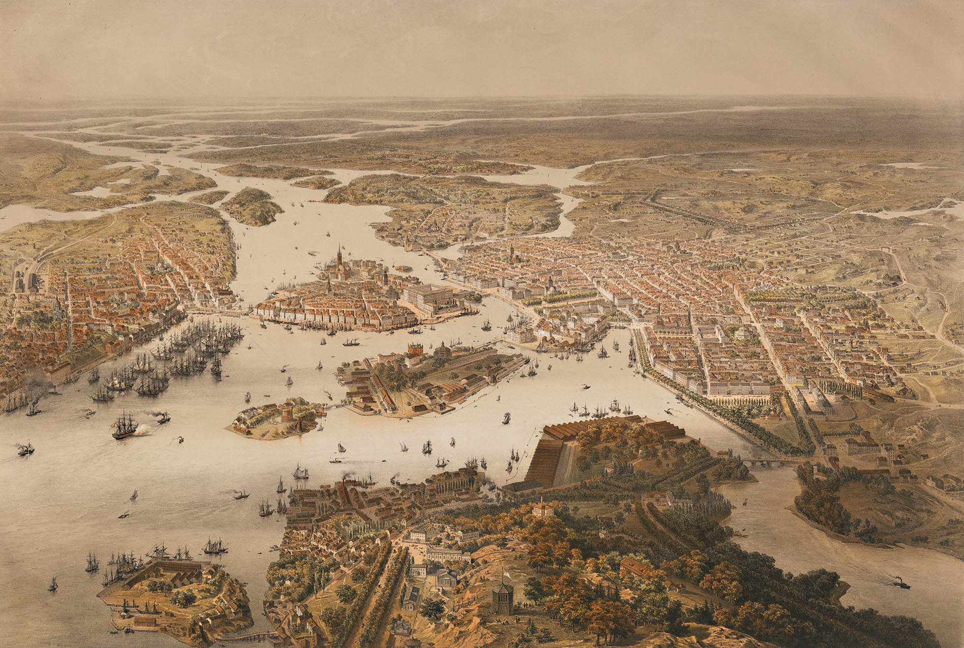
Stockholm () is the Capital city, capital and List of urban areas in Sweden by population, most populous city of Sweden as well as the List of urban areas in the Nordic countries, largest urban area in the Nordic countries. Approximately 1 million people live in the Stockholm Municipality, municipality, with 1.6 million in the Stockholm urban area, urban area, and 2.4 million in the Metropolitan Stockholm, metropolitan area. The city stretches across fourteen islands where Mälaren, Lake Mälaren flows into the Baltic Sea. Outside the city to the east, and along the coast, is the island chain of the Stockholm archipelago. The area has been settled since the Stone Age, in the 6th millennium BC, and was founded as a city in 1252 by Swedish statesman Birger Jarl. The city serves as the county seat of Stockholm County. Stockholm is the cultural, media, political, and economic centre of Sweden. The Stockholm region alone accounts for over a third of the country's Gross d ... [...More Info...] [...Related Items...] OR: [Wikipedia] [Google] [Baidu] |
Pedestrian
A pedestrian is a person traveling on foot, whether walking or running. In modern times, the term usually refers to someone walking on a road or pavement, but this was not the case historically. The meaning of pedestrian is displayed with the morphemes ''ped-'' ('foot') and ''-ian'' ('characteristic of'). This word is derived from the Latin term ''pedester'' ('going on foot') and was first used (in English language) during the 18th century. It was originally used, and can still be used today, as an adjective meaning plain or dull. However, in this article it takes on its noun form and refers to someone who walks. The word pedestrian may have been used in middle French in the Recueil des Croniques et Anchiennes Istories de la Grant Bretaigne, à présent nommé Engleterre. In California the definition of a pedestrian has been broadened to include anyone on any human powered vehicle that is not a bicycle, as well as people operating self-propelled wheelchairs by reason of ... [...More Info...] [...Related Items...] OR: [Wikipedia] [Google] [Baidu] |
Esker
An esker, eskar, eschar, or os, sometimes called an ''asar'', ''osar'', or ''serpent kame'', is a long, winding ridge of stratified sand and gravel, examples of which occur in glaciated and formerly glaciated regions of Europe and North America. Eskers are frequently several kilometres long and, because of their uniform shape, look like railway embankments. Etymology The term ''esker'' is derived from the Irish word ''eiscir'' ( Old Irish: ''escir''), which means "ridge or elevation, especially one separating two plains or depressed surfaces". The Irish word was and is used particularly to describe long sinuous ridges, which are now known to be deposits of fluvio-glacial material. The best-known example of such an ''eiscir'' is the '' Eiscir Riada'', which runs nearly the whole width of Ireland from Dublin to Galway, a distance of , and is still closely followed by the main Dublin-Galway road The synonym ''os'' comes from the Swedish word ''ås'', "ridge". Geology M ... [...More Info...] [...Related Items...] OR: [Wikipedia] [Google] [Baidu] |
Oscar II Of Sweden
Oscar II (Oscar Fredrik; 21 January 1829 – 8 December 1907) was King of Sweden from 1872 until his death in 1907 and King of Norway from 1872 to 1905. Oscar was the son of King Oscar I and Josephine of Leuchtenberg, Queen Josephine. He inherited the Swedish and Norwegian thrones when his brother died in 1872. Oscar II ruled during a time when both countries were undergoing a period of industrialization and rapid technological progress. His reign also saw the gradual decline of the Union of Sweden and Norway, which culminated in its Dissolution of the union between Norway and Sweden, dissolution in 1905. In 1905, the throne of Norway was transferred to his grandnephew Prince Haakon VII of Norway, Carl of Denmark under the regnal name Haakon VII. When Oscar died in 1907, he was succeeded in Sweden by his eldest son, Gustaf V. Oscar II is the paternal great-great-grandfather of King Carl XVI Gustaf of Sweden. Queen Margrethe II of Denmark is his descendant through his son Gustaf ... [...More Info...] [...Related Items...] OR: [Wikipedia] [Google] [Baidu] |
Tunnelgatan
Tunnelgatan (Tunnel Street) is a street in Stockholm, Sweden, which stretches from Sveavägen to the Brunkeberg Tunnel. Tunnelgatan was named after the Brunkeberg tunnel which opened in 1886. The previous name was ''Barnhus trädgårdsgata'' (Orphanage garden street), after the orphanage at Norra Bantorget. During the 17th century, there was a ropewalk at the place. The only remaining residential building in the street is located at the crossing of Tunnelgatan and Luntmakargatan and was built between 1894 and 1896. Tunnelgatan is associated with the murder of Olof Palme, which occurred near the tunnel mouth on Sveavägen street, and the killer fled up the stairs. A section of the street has since been renamed as Olof Palmes gata. The City Plan 67 intended to expand Tunnelgatan to a six-lane urban highway with continuation through David Bagares gata to Stureplan, and further through Humlegårdsgatan to Norra Djurgården. In the west, a connection to Klarastrandsleden via ... [...More Info...] [...Related Items...] OR: [Wikipedia] [Google] [Baidu] |
Geography Of Stockholm
The City of Stockholm is situated on fourteen islands and on the banks to the archipelago where Lake Mälaren meets the Baltic Sea. The city centre is virtually situated on the water. The area of Stockholm is one of several places in Sweden with a joint valley terrain. In these landscapes erosion along geological joints has split the flattish upper surfaces into low-lying plateaus. In the case of Stockholm the plateau surfaces are remnants of the Sub-Cambrian peneplain. Islands and islets Extant islands and islets Historical islands and islets References: Dufwa, ''Stockholms tekniska historia'', pp 49-50, 149-150 Lakes and watercourses The access to fresh water is excellent in Stockholm today. Historically, lakes and watercourses were used as refuse dumps and latrines, causing epidemic cholera and many other diseases. By the 1860s water was being drawn from Årstaviken, the waters south of Södermalm, and was treated in the first water-purifying plant at Skanstu ... [...More Info...] [...Related Items...] OR: [Wikipedia] [Google] [Baidu] |
Buildings And Structures In Stockholm
A building, or edifice, is an enclosed structure with a roof and walls standing more or less permanently in one place, such as a house or factory (although there's also portable buildings). Buildings come in a variety of sizes, shapes, and functions, and have been adapted throughout history for a wide number of factors, from building materials available, to weather conditions, land prices, ground conditions, specific uses, prestige, and aesthetic reasons. To better understand the term ''building'' compare the list of nonbuilding structures. Buildings serve several societal needs – primarily as shelter from weather, security, living space, privacy, to store belongings, and to comfortably live and work. A building as a shelter represents a physical division of the human habitat (a place of comfort and safety) and the ''outside'' (a place that at times may be harsh and harmful). Ever since the first cave paintings, buildings have also become objects or canvasses of much artist ... [...More Info...] [...Related Items...] OR: [Wikipedia] [Google] [Baidu] |
Tunnels In Sweden
A tunnel is an underground passageway, dug through surrounding soil, earth or rock, and enclosed except for the entrance and exit, commonly at each end. A pipeline is not a tunnel, though some recent tunnels have used immersed tube construction techniques rather than traditional tunnel boring methods. A tunnel may be for foot or vehicular road traffic, for rail traffic, or for a canal. The central portions of a rapid transit network are usually in the tunnel. Some tunnels are used as sewers or aqueducts to supply water for consumption or for hydroelectric stations. Utility tunnels are used for routing steam, chilled water, electrical power or telecommunication cables, as well as connecting buildings for convenient passage of people and equipment. Secret tunnels are built for military purposes, or by civilians for smuggling of weapons, contraband, or people. Special tunnels, such as wildlife crossings, are built to allow wildlife to cross human-made barriers safely. Tun ... [...More Info...] [...Related Items...] OR: [Wikipedia] [Google] [Baidu] |
Tunnels Completed In 1886
A tunnel is an underground passageway, dug through surrounding soil, earth or rock, and enclosed except for the entrance and exit, commonly at each end. A pipeline is not a tunnel, though some recent tunnels have used immersed tube construction techniques rather than traditional tunnel boring methods. A tunnel may be for foot or vehicular road traffic, for rail traffic, or for a canal. The central portions of a rapid transit network are usually in the tunnel. Some tunnels are used as sewers or aqueducts to supply water for consumption or for hydroelectric stations. Utility tunnels are used for routing steam, chilled water, electrical power or telecommunication cables, as well as connecting buildings for convenient passage of people and equipment. Secret tunnels are built for military purposes, or by civilians for smuggling of weapons, contraband, or people. Special tunnels, such as wildlife crossings, are built to allow wildlife to cross human-made barriers sa ... [...More Info...] [...Related Items...] OR: [Wikipedia] [Google] [Baidu] |


