|
Boussou Department
Boussou is a department or commune of Zondoma Province in western Burkina Faso Burkina Faso (, ; , ff, 𞤄𞤵𞤪𞤳ðž¤ðž¤²ðž¤¢ 𞤊𞤢𞤧𞤮, italic=no) is a landlocked country in West Africa with an area of , bordered by Mali to the northwest, Niger to the northeast, Benin to the southeast, Togo and Ghana to the .... Its capital lies at the town of Boussou. Towns and villages References Departments of Burkina Faso Zondoma Province {{Zondoma-geo-stub ...[...More Info...] [...Related Items...] OR: [Wikipedia] [Google] [Baidu] |
Departments Of Burkina Faso
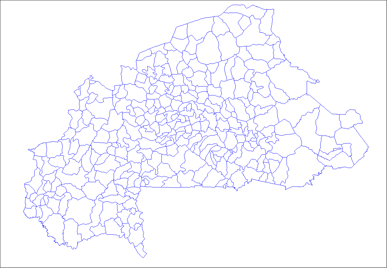
The provinces of Burkina Faso are divided into 351 departments (as of 2014 and since local elections of 2012), whose urbanized areas (cities, towns and villages) are grouped into the same commune (municipality) with the same name as the department. The department also covers rural areas (including national natural parks) that are not governed locally by the elected municipal council of the commune (presided by its mayor, with representants elected for each village or urban sector), but by the state represented at departmental level by a prefect (supervized by the haut-commissaire of its province, themself assisted by a general secretary and acting under the hierarchic authority the governor of its region, all of them being nominated by the national government). Status of communes The 351 communes (municipalities) created for each one of these departments have three kinds of status : * 49 urban communes are grouping their main city/town (subdivided into urban sectors) and all ... [...More Info...] [...Related Items...] OR: [Wikipedia] [Google] [Baidu] |
Kiripalogo
Kiripalogo is a rural municipality located in the Boussou Department in the province of Zondoma in the Northern region of Burkina Faso. Geography Kiripalogo is 12 km northwest of town of Boussou, the capital of the department, 5 km southwest of Posso, and about 50 km southwest of Gourcy. History Kiripalogo is located in the former Mossi kingdom.Michel Izard, ''Traditions historiques des villages du Yatenga Yatenga is one of the provinces of Burkina Faso, located in the Nord Region of the country. In modern Yatenga, the most prominent city is Ouahigouya (also known as Waiguya). This city served as the capital of the kingdom of Yatenga, a powerful kin ...'', Paris, 196/ref> Health and educational resources The nearest health centre is the Health and Social Promotion Centre (CSPS) in Posso, while the medical centre is in Gourcy. Kiripalogo has since 2014 one of the three general education colleges (CEG) of the department. The departmental high school is located in Bousso ... [...More Info...] [...Related Items...] OR: [Wikipedia] [Google] [Baidu] |
Tangaye (Boussou)
Tangaye may refer to several places in Burkina Faso: *Tangaye, Bam *Tangaye, Gnagna of Gnagna *Tangaye Department Tangaye is a department or commune of Yatenga Province in northern Burkina Faso Burkina Faso (, ; , ff, 𞤄𞤵𞤪𞤳ðž¤ðž¤²ðž¤¢ 𞤊𞤢𞤧𞤮, italic=no) is a landlocked country in West Africa with an area of , bordered by Mali to t ... {{Geodis ... [...More Info...] [...Related Items...] OR: [Wikipedia] [Google] [Baidu] |
Posso (Boussou)
Poso ( Old Spelling: ''Posso'') is the administrative capital of Poso Regency, Indonesia. It is the main port and transportation hub for the central-southern coast of Central Sulawesi. Its urban area consists of three districts, Poso Kota, North Poso Kota, and South Poso Kota. Poso lies in the middle of the province on the shore of the Gulf of Tomini, right in the central part of Sulawesi island. With a total population of 47,477 in 2020, it is one of the biggest and the oldest towns in the province. Poso began to develop as a small port town located at the mouth of the Poso River at the end of the 19th century—making it one of the oldest towns in Central Sulawesi, and its presence was considered important for the Dutch to control the southern region of Tomini in the early days of their arrival. Poso was the administrative center of Landschap Poso, Onderafdeling Poso, and later Afdeling Poso during colonial times. In the midst of the World War II, the Japanese made P ... [...More Info...] [...Related Items...] OR: [Wikipedia] [Google] [Baidu] |
Countries Of The World
The following is a list providing an overview of sovereign states around the world with information on their status and recognition of their sovereignty. The 206 listed states can be divided into three categories based on membership within the United Nations System: 193 UN member states, 2 UN General Assembly non-member observer states, and 11 other states. The ''sovereignty dispute'' column indicates states having undisputed sovereignty (188 states, of which there are 187 UN member states and 1 UN General Assembly non-member observer state), states having disputed sovereignty (16 states, of which there are 6 UN member states, 1 UN General Assembly non-member observer state, and 9 de facto states), and states having a special political status (2 states, both in free association with New Zealand). Compiling a list such as this can be a complicated and controversial process, as there is no definition that is binding on all the members of the community of nations conc ... [...More Info...] [...Related Items...] OR: [Wikipedia] [Google] [Baidu] |

