|
Bouches-du-Rhin
Bouches-du-Rhin (; "Mouths of the Rhine", ) was a department of the First French Empire in the present-day Netherlands. It was named after the mouth of the river Rhine. It was formed in 1810, when the Kingdom of Holland was annexed by France. Its territory corresponded with the eastern half of the present-day Dutch province of North Brabant and a part of the province of Gelderland. Its capital was 's-Hertogenbosch. The department was subdivided into the following arrondissements and cantons (situation in 1812):Almanach Impérial an bissextil MDCCCXII p. 379-380, accessed in Gallica 24 July 2013 * |
Departments Of France
In the administrative divisions of France, the department (, ) is one of the three levels of government under the national level ("territorial collectivity, territorial collectivities"), between the Regions of France, administrative regions and the Communes of France, communes. There are a total of 101 departments, consisting of ninety-six departments in metropolitan France, and five Overseas department and region, overseas departments, which are also classified as overseas regions. Departments are further subdivided into 333 Arrondissements of France, arrondissements and 2,054 Cantons of France, cantons (as of 2023). These last two levels of government have no political autonomy, instead serving as the administrative basis for the local organisation of police, fire departments, and, in certain cases, elections. Each department is administered by an elected body called a departmental council (France), departmental council ( , ). From 1800 to April 2015, these were called gene ... [...More Info...] [...Related Items...] OR: [Wikipedia] [Google] [Baidu] |
Zaltbommel
Zaltbommel (), also known, historically and colloquially, as Bommel, is a municipality and a city in the Netherlands. History The city of Zaltbommel The town of Zaltbommel was first mentioned as "Bomela" in the year 850. Zaltbommel received city rights in 1231 and these were renewed in 1316. In 1599 during the Eighty Years War, Zaltbommel was besieged by Spanish forces but was relieved by an Anglo-Dutch force led by Maurice of Orange. The bridge over the Waal at Zaltbommel (which has since been replaced) features in a celebrated twentieth-century Dutch sonnet, ''De moeder de vrouw'', by Martinus Nijhoff. Zaltbommel was expanded to its current size on 1 January 1999, by a merger of the municipalities of Brakel, Kerkwijk and Zaltbommel. The municipality is situated in the heart of the Netherlands, close to the A2 Motorway, the railway line from Utrecht to 's‑Hertogenbosch and the rivers Waal and Maas. Topography ''Dutch Topographic map of Zaltbommel (municipalit ... [...More Info...] [...Related Items...] OR: [Wikipedia] [Google] [Baidu] |
Wijchen
Wijchen () is a Municipalities of the Netherlands, municipality and a town in the province of Gelderland, in the eastern part of the Netherlands. Population centres Number of residents per population centre per 12 December 2009: Source: Statistics Netherlands The population centre Woezik (3,820 residents on 1 January 2005) and the township Laak are statistically included in Wijchen. Neighbourhoods Neighbourhoods in Wijchen include: *Centre: Kloosterakker *Wijchen-Oost: Valendries, Oosterweg and Uilenboom. *Woezik: Veenhof and Saltshof. *Wijchen-Noord. *Achterlo: Homberg, Heilige Stoel and Kraaijenberg. *Wijchen-West: Blauwe Hof and Aalsburg. *Wijchen-Zuid: Abersland, Diepvoorde, Huissteden, Hoogmeer, De Ververt, De Geer, Elsland, De Weertjes, De Grippen, Zesakkers, Zevendreef, Sluiskamp, Oudelaan, and Kronenland. *Kerkeveld: De Gamert, De Meren, Diemenwei, De Flier, De Lingert. *Huurlingsedam. Streets in most neighbourhoods are numbered instead of named. This is not common ... [...More Info...] [...Related Items...] OR: [Wikipedia] [Google] [Baidu] |
Ravenstein, Netherlands
Ravenstein is a city and a former municipality in the south of the Netherlands, in the province of North Brabant. The former municipality covered an area of 42.68 km² (of which 0.96 km² water). In 2003 it was incorporated into the city of Oss. Ravenstein was founded by Walraven van Valkenburg. It received city rights in 1380. From 1631 until 1796, Ravenstein and the surrounding area were part of the Duchy of Palatinate-Neuburg and was a Catholic enclave within the Dutch Republic. Land van Ravenstein In 1360, Ravenstein became part of the , and received city rights in 1380. Philip of Cleves, Lord of Ravenstein died in 1528 without successors, and the land became part of the Duchy of Cleves. In 1609, it became part of the Margraviate of Brandenburg who sold the Dutch Republic the right to fortify Ravenstein and maintain troops in the city. In 1631, it changed hands to the Duchy of Palatinate-Neuburg, and became a Catholic enclave within the Dutch Republic. The L ... [...More Info...] [...Related Items...] OR: [Wikipedia] [Google] [Baidu] |
Grave, Netherlands
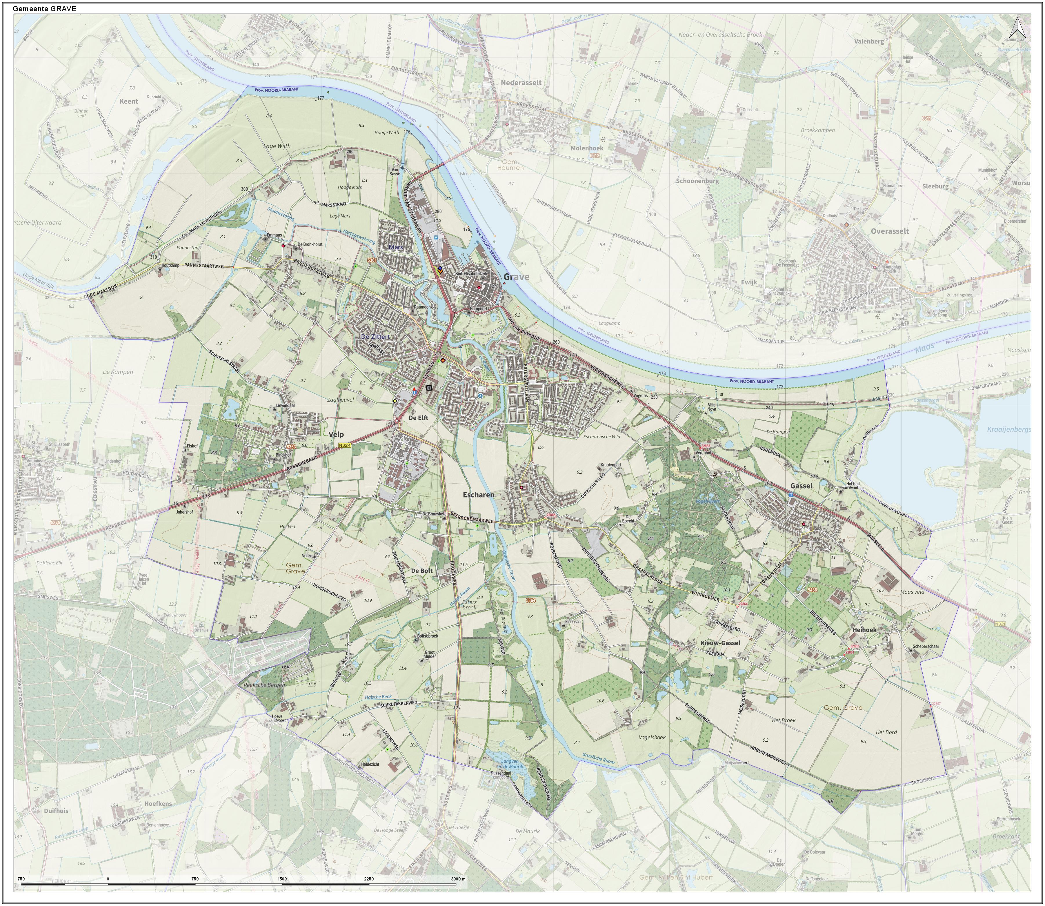
Grave (; formerly ''De Graaf'') is a city and former municipality in the Dutch province of North Brabant. The former municipality had a population of in . Grave is a member of the Dutch Association of Fortified Cities. The former municipality included the following towns: Grave (capital), Velp, Escharen and Gassel. Grave, Boxmeer, Cuijk, Mill en Sint Hubert, and Sint Anthonis merged into the new municipality of Land van Cuijk on 1 January 2022. History Grave received city rights in 1233. The former municipality of Grave was formed in the Napoleonic era (1810) and coincided with the fortified Grave and immediate surroundings. The history of the town was thus linked to that of the place. This changed in 1942. Then there was a reclassification place where the municipality Grave was expanded with the previously independent municipalities Velp and Escharen. Moreover, in 1994 the neighboring municipality of Beers was abolished and a part thereof, the parish Gassel ... [...More Info...] [...Related Items...] OR: [Wikipedia] [Google] [Baidu] |
Druten
Druten () is a Municipalities of the Netherlands, municipality and a town in the eastern Netherlands. The municipality covers the eastern part of the region of the province of Gelderland. One of its key features is the town's church, designed by architect Pierre Cuypers. The church is dedicated to the Two Ewalds, with statues for the two made in the studio , owned by Cuypers and Frans Stoltzenberg. Population centres Topography ''Dutch topographic map of the municipality of Druten, June 2015'' Notable residents * Reginald Wolfe (died 1573) a Dutch-born English Protestant printer, an original member of the Worshipful Company of Stationers and Newspaper Makers, Royal Stationers' Company * Josef van Schaik (1882–1962) & Steef van Schaik (1888–1968) Dutch politician and brothers * Ru Paré (1896-1972), a Dutch resistance member, and visual artist * Peter Hans Kolvenbach (1928–2016), the twenty-ninth Superior General of the Society of Jesus * Pieter Roelofs (1972), art his ... [...More Info...] [...Related Items...] OR: [Wikipedia] [Google] [Baidu] |
Boxmeer
Boxmeer () is a town and former municipality in upper southeastern Netherlands. Boxmeer as a municipality incorporated the former municipality of Beugen en Rijkevoort and that of Vierlingsbeek. One of the population centers of the former municipality is Overloon, where the Overloon War Museum is located. Boxmeer, Cuijk, Grave, Netherlands, Grave, Mill en Sint Hubert, and Sint Anthonis merged into the new municipality of Land van Cuijk on 1 January 2022. Topography Population centres The population in parts of the former municipality on 31 December 2020 was: * Beugen 1,860 * Boxmeer 12,550 * Holthees 540 * Maashees 875 * Oeffelt 2,370 * Overloon, including Heikant, Boxmeer, Heikant 3,985 * Rijkevoort 1,665 * Sambeek 1,745 * Vierlingsbeek, including Groeningen 3,050 * Vortum-Mullem 705 Transport * Boxmeer railway station Notable people * Dr Anna Terruwe (1911 in Vierlingsbeek – 2004) a Catholic psychiatrist who discovered emotional deprivation disorder * Joannes Gi ... [...More Info...] [...Related Items...] OR: [Wikipedia] [Google] [Baidu] |
Nijmegen
Nijmegen ( , ; Nijmeegs: ) is the largest city in the Dutch province of Gelderland and the ninth largest of the Netherlands as a whole. Located on the Waal River close to the German border, Nijmegen is one of the oldest cities in the Netherlands and the first to be recognized as such in Roman times. In 2005, it celebrated 2,000 years of existence. Nijmegen became a free imperial city in 1230 and in 1402 a Hanseatic city. Since 1923 it has been a university city with the opening of a Catholic institution now known as the Radboud University Nijmegen. The city is well known for the annual International Four Days Marches Nijmegen event. Its population as of 2024 was 187,011. Population centres The municipality is formed by the city of Nijmegen, incorporating the former villages of Hatert, Hees and Neerbosch, as well as the urban expansion projects in Veur-Lent, Nijmegen-Oosterhout and Nijmegen–Ressen, all situated north of the river Waal. Proximity of border ... [...More Info...] [...Related Items...] OR: [Wikipedia] [Google] [Baidu] |
Sint-Oedenrode
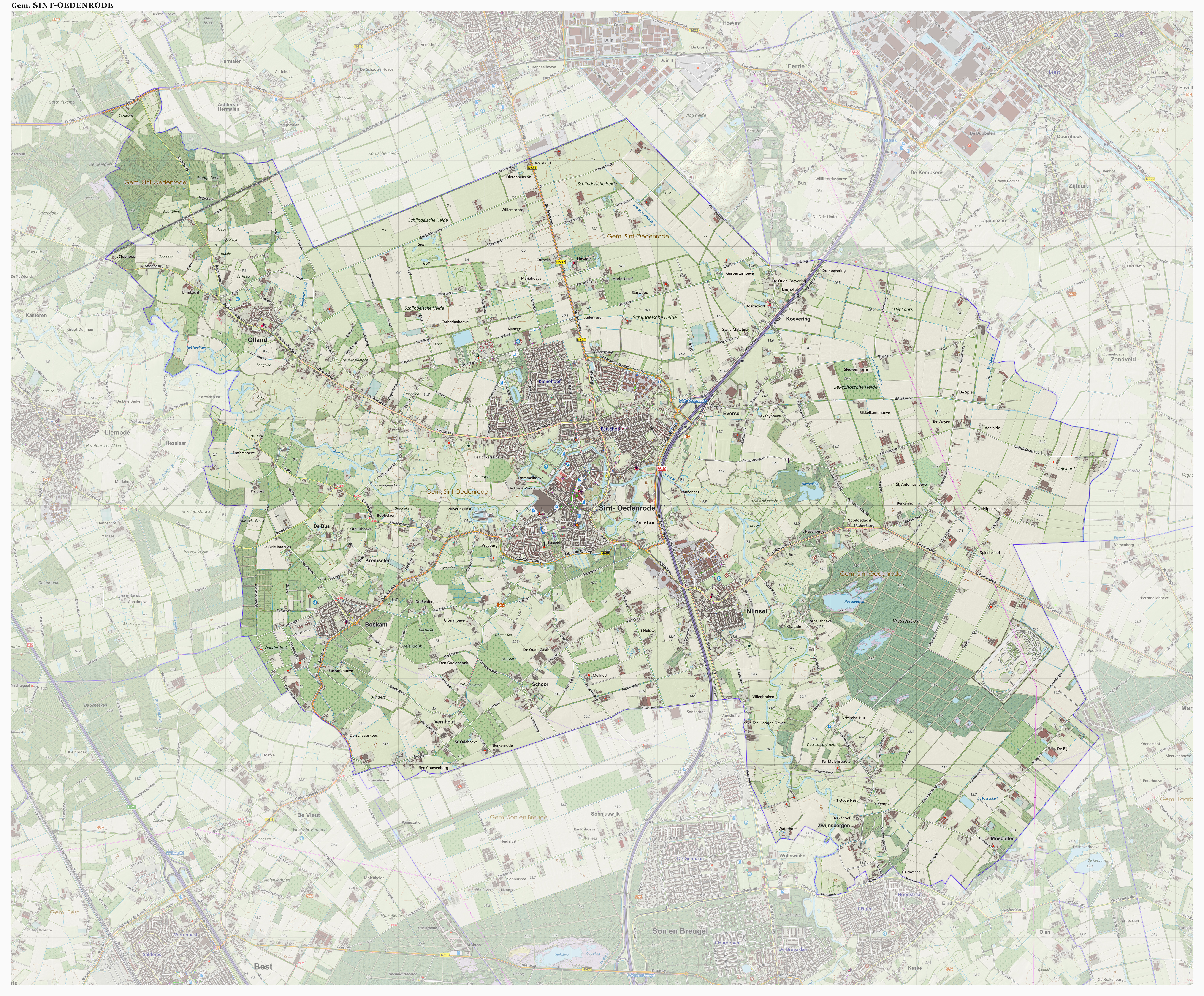
Sint-Oedenrode () is a town in the Dutch province of North Brabant. Sint-Oedenrode is a moderately urbanized town in the Meierij of 's-Hertogenbosch. Sint-Oedenrode had a population of 18,360 as of and has an area of . On 1 January 2017 Sint-Oedenrode, together with Schijndel and Veghel, merged into a new municipality called Meierijstad, creating the largest municipality of the North-Brabant province in terms of land area. The municipality traditionally had " vrijheidsrechten" (a predecessor of city rights), since 1232, until the abolishment of the privileges and introduction of the Municipalities Act in 1851. In those feudal times Sint-Oedenrode was referred to as a "Vlek" (market town). Today it is still a large town. From southeast to northwest, the town is split by the river Dommel. Population centers The municipality Sint-Oedenrode consists of several quarters and hamlets: * 11 quarters in Sint-Oedenrode and 3 hamlets ("Everse", "Koevering" and "Kremselen") * 1 quar ... [...More Info...] [...Related Items...] OR: [Wikipedia] [Google] [Baidu] |
Oirschot
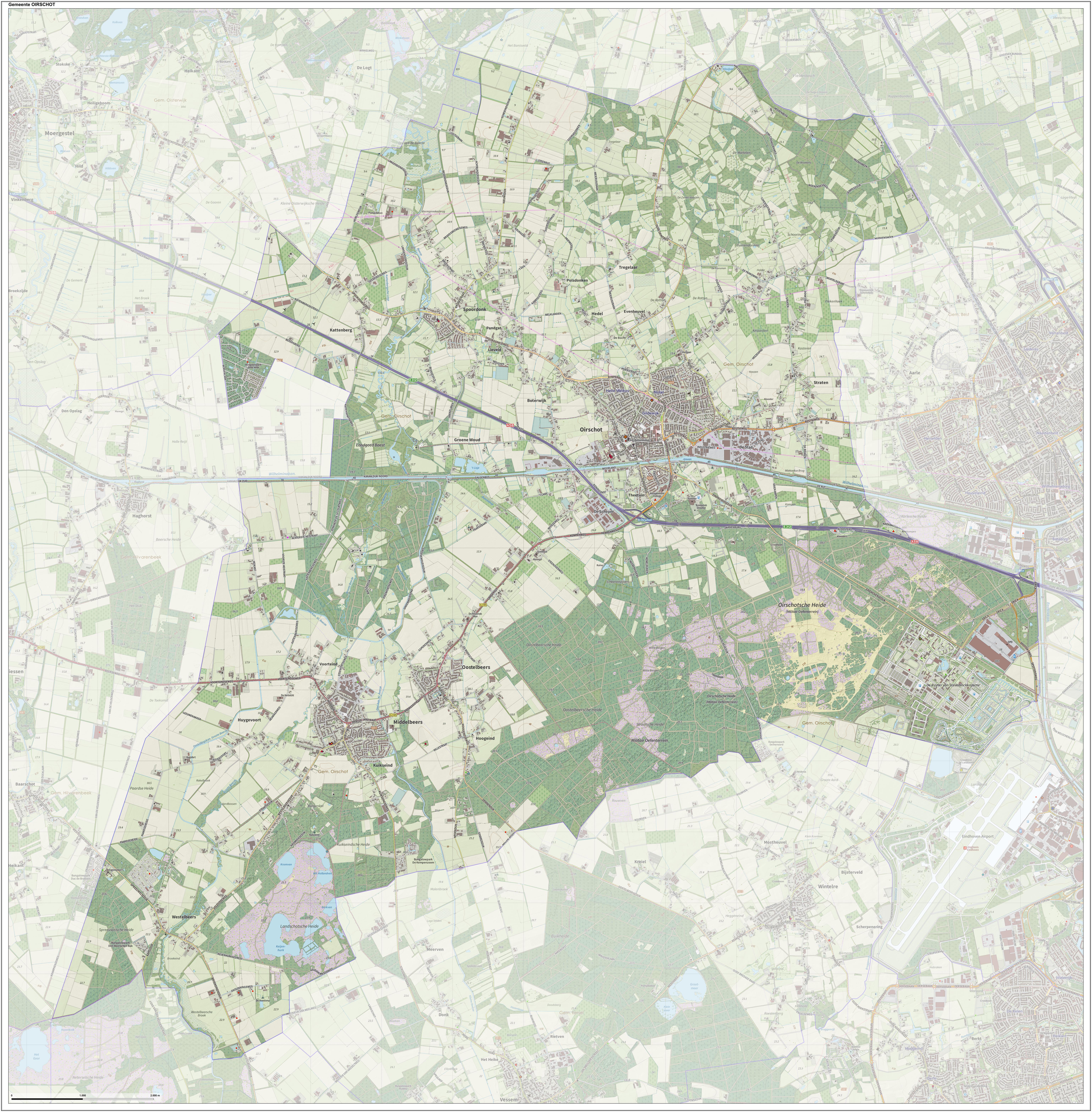
Oirschot (; ''Orskot'' in the local dialect) is a municipality and town in the province of North Brabant (Noord-Brabant) in the southern Netherlands. It is from Eindhoven and from Tilburg. The municipality had a population of in . Population centres Sights There are more than 300 monuments in the municipality Oirschot. Some of the historic buildings in the town of Oirschot are: * The Roman Catholic Church named Sint-Petrus’-Bandenkerk. This 15th and 16th century Gothic church is the biggest building in the town, and has a 73 meter tower * The old town hall built in 1513 in the town centre * Maria-church (Maria-kerk). A 12th-century Romanesque church in the town centre * Monastery Nazareth (Klooster Nazareth) with a chapel in Neo-Romanesque style (1910) * Former Brewery De Kroon (Brouwerij de Kroon) built in 1773 * Hof van Solms, palace of Arnoldus Feij (or Arnold Fey) * The Big Chair (De Grote Stoel) the biggest chair of Europe * Huize Groenenberg, a house built i ... [...More Info...] [...Related Items...] OR: [Wikipedia] [Google] [Baidu] |
Hilvarenbeek
Hilvarenbeek () is a municipality and a town in the south of the Netherlands, along the border with Belgium. The biggest tourist attraction is called Beekse Bergen, consisting of a safari park, amusement park/playground, holiday bungalow park, and camping parks. In the centre of the town the Sint-Petrus'-Banden is a Gothic church from the 14th and 15th centuries. The tower is a highlight of the Kempen Gothic. Population centres The municipality of Hilvarenbeek also includes the following villages with their own churches: In addition, the following parts were historically separate, but are nowadays more like neighbourhoods: Topography ''Dutch Topographic map of the municipality of Hilvarenbeek, June 2015.'' Notable people * Johannes Goropius Becanus (1519 in Gorp – 1573) a Dutch physician, linguist, and humanist * Martinus Becanus (1563 in Hilvarenbeek – 1624) a Jesuit priest, theologian and controversialist. * Jacques Thomassen (born 1945 in Diessen) a Dutch or ... [...More Info...] [...Related Items...] OR: [Wikipedia] [Google] [Baidu] |


