|
Berwickshire Coastal Path
The Berwickshire Coastal Path is a walking route some long. It follows the eastern coastline of Scotland from Cockburnspath in the Scottish Borders to Berwick upon Tweed, just over the border in England. At Cockburnspath the path links with the Southern Upland Way and the John Muir Way. The coastline traversed by the path is nationally and internationally important for seabirds, coastal flora and marine life: much of the coastline is protected as a Special Protection Area, and there is a national nature reserve at St Abbs Head which is owned by the National Trust for Scotland. Strong walkers can walk the route in two days, although the walk can be split into shorter sections to allow more time to explore the towns and villages along the way. The path was developed by Scottish Borders Council, and is now designated as one of Scotland's Great Trails by NatureScot. The route is waymarked, and there are four memorial statues at Eyemouth, Burnmouth, St Abbs and Cove to commemor ... [...More Info...] [...Related Items...] OR: [Wikipedia] [Google] [Baidu] |
Berwick Upon Tweed
Berwick-upon-Tweed (), sometimes known as Berwick-on-Tweed or simply Berwick, is a town and civil parish in Northumberland, England, south of the Anglo-Scottish border, and the northernmost town in England. The 2011 United Kingdom census recorded Berwick's population as 12,043. The town is at the mouth of the River Tweed on the east coast, south east of Edinburgh, north of Newcastle upon Tyne, and north of London. Uniquely for England, the town is slightly further north than Denmark's capital Copenhagen and the southern tip of Sweden further east of the North Sea, which Berwick borders. Berwick was founded as an Anglo-Saxon settlement in the Kingdom of Northumbria, which was annexed by England in the 10th century. A civil parish and town council were formed in 2008 comprising the communities of Berwick, Spittal and Tweedmouth. It is the northernmost civil parish in England. The area was for more than 400 years central to historic border wars between the Kingdoms of Engl ... [...More Info...] [...Related Items...] OR: [Wikipedia] [Google] [Baidu] |
St Abbs Head
St Abb's Head is a rocky promontory by the village of St Abbs in Scottish Borders, Scotland, and a national nature reserve administered by the National Trust for Scotland. St Abb's Head Lighthouse was designed and built by the brothers David Stevenson and Thomas Stevenson and began service on 24 February 1862. Geology The layered sedimentary rocks of greywacke and siltstone which lie to the north and south of the Head were laid down at the bottom of the sea between 460 and 410 million years ago. The Head itself is made from hard volcanic rock which formed as lava flowed from volcanoes around 400 million years ago. The different type of rocks accounts for the contrast in colour between the rocks of the Head and those of mainland cliffs. The softer sedimentary rocks have eroded over time, leaving behind the high headland made from the harder rock. However even this tough volcanic rock has been affected by the actions of the sea, leaving steep gullies and sea stacks which are ide ... [...More Info...] [...Related Items...] OR: [Wikipedia] [Google] [Baidu] |
Berwickshire Coastal Path At Marshall Meadows - Geograph
Berwickshire ( gd, Siorrachd Bhearaig) is a historic county, registration county and lieutenancy area in south-eastern Scotland, on the English border. Berwickshire County Council existed from 1890 until 1975, when the area became part of the Borders region, with most of the historic county becoming part of the lower-tier Berwickshire district. Berwickshire district was abolished in 1996, when all the districts in the Borders region merged to become the Scottish Borders council area. The county takes its name from Berwick-upon-Tweed, its original county town, which was part of Scotland at the time of the county's formation in the twelfth century, but became part of England in 1482 after several centuries of swapping back and forth between the two kingdoms. After the loss of Berwick, Duns and Greenlaw both served as county town at different periods. The low-lying part of Berwickshire between the Tweed and the Lammermuirs is known as "the Merse", from an old Scots w ... [...More Info...] [...Related Items...] OR: [Wikipedia] [Google] [Baidu] |
Marshall Meadows Bay
__NOTOC__ Marshall Meadows Bay is the northernmost point of England. It is located on the Northumberland coast, north of Berwick-upon-Tweed, and just to the south of the Anglo-Scottish border. Across the border in Scotland is the county of Berwickshire in the Borders region. The hamlet of Marshall Meadows lies to the west of the bay, and is the most northerly inhabited place in England. The Marshall Meadows Manor House Hotel is here, along with a farm and a caravan site. There is a disused tunnel from the caravan site to the bay below, and there is a small cave north of this tunnel, plus another small cave just around the corner of Marshall Meadows Point. Nearby is the A1 trunk road and the East Coast Main Line railway. The Berwickshire Coastal Path from Berwick to Eyemouth runs along the clifftop at Marshall Meadows Bay. The cliffs are about fifty metres high. Borders Buses operates a regular service between Berwick and St Abbs stopping at New East Farm, a short walk from ... [...More Info...] [...Related Items...] OR: [Wikipedia] [Google] [Baidu] |
England Coast Path
The England Coast Path is a proposed long-distance National Trail that will follow the coastline of England. When complete, it will be 2,795 miles (4,500 kilometres) in length. The trail is being implemented by Natural England, a non-departmental public body of the UK government responsible for ensuring that England's natural environment is protected and improved. It also has a responsibility to help people enjoy, understand and access the natural environment. Although various National Trails already existed along England's coast, the first stretch of the official England Coast Path was opened at Weymouth Bay in Dorset in 2012. In December 2014 the UK Government, encouraged by the success of the Wales Coast Path, announced that more than £5 million of additional funding was being committed over the following 5 years, to complete the Path by 2020, a decade earlier than would have otherwise been possible. In the UK public access to the foreshore, below the line marking hig ... [...More Info...] [...Related Items...] OR: [Wikipedia] [Google] [Baidu] |
Northumberland Coast Path
The Northumberland Coast Path is a long distance path in Northumberland in northern England. It now forms part of the England Coast Path. The path starts at Cresswell and then heads north along the coast through Amble and Warkworth, where it is joined by St Oswald's Way. It continues north to Alnmouth and Craster, past Dunstanburgh Castle to Seahouses and Bamburgh Castle. It then heads inland to Belford and the Kyloe Hills, which offer panoramic views of the coast and the Cheviot Hills. From here it joins St. Cuthbert's Way and returns to the coast at the causeway to Holy Island before continuing along sandy beaches and cliff-top paths to the River Tweed and Berwick-upon-Tweed, close to the Scottish border. The path is part of the European North Sea Trail. At Berwick the path links with the Berwickshire Coastal Path and so with the proposed Scottish Coastal Way The Scottish Coastal Way is a proposed national long-distance trail that goes around the coastline ... [...More Info...] [...Related Items...] OR: [Wikipedia] [Google] [Baidu] |
Bronze
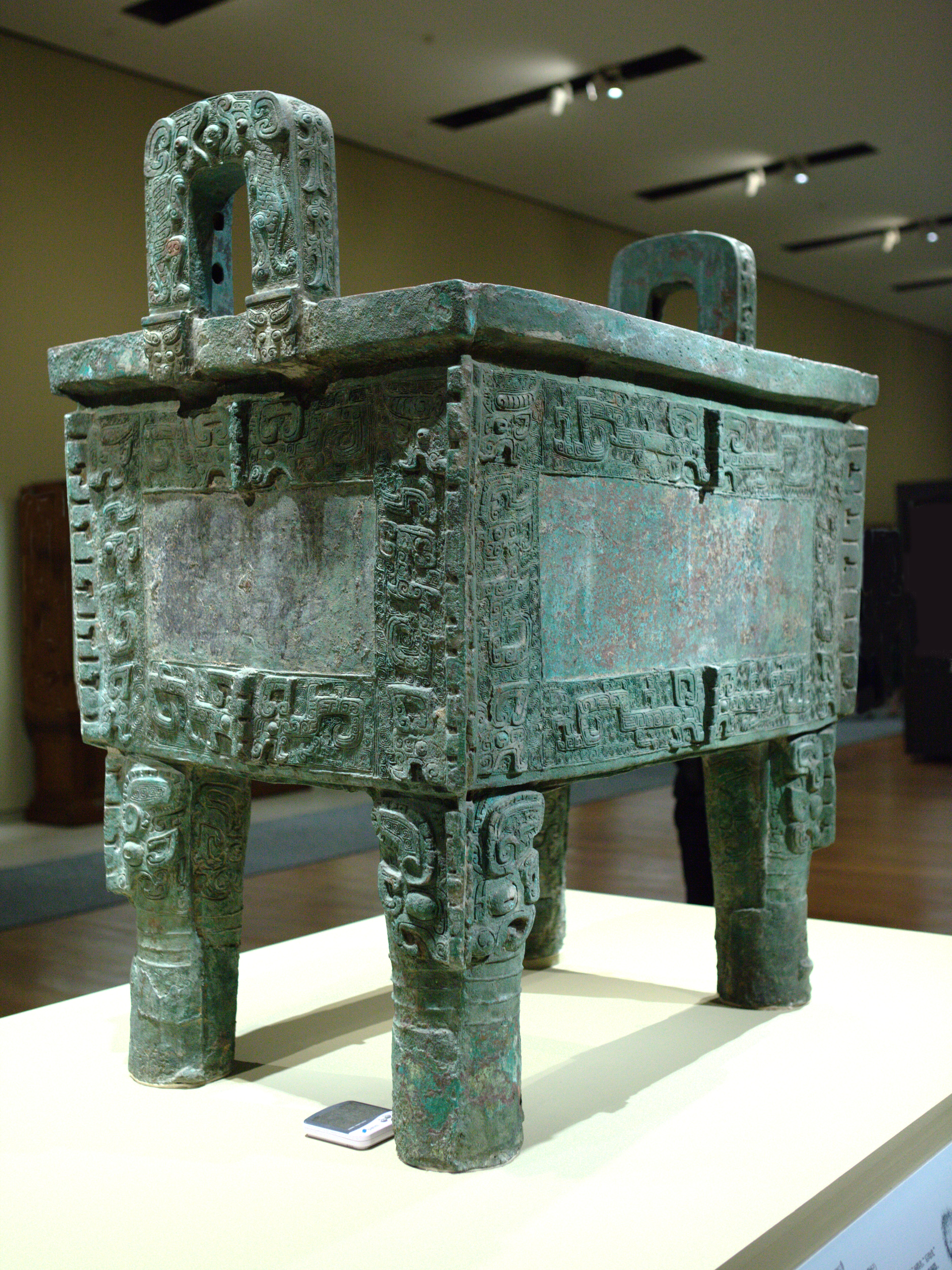
Bronze is an alloy consisting primarily of copper, commonly with about 12–12.5% tin and often with the addition of other metals (including aluminium, manganese, nickel, or zinc) and sometimes non-metals, such as phosphorus, or metalloids such as arsenic or silicon. These additions produce a range of alloys that may be harder than copper alone, or have other useful properties, such as strength, ductility, or machinability. The archaeological period in which bronze was the hardest metal in widespread use is known as the Bronze Age. The beginning of the Bronze Age in western Eurasia and India is conventionally dated to the mid-4th millennium BCE (~3500 BCE), and to the early 2nd millennium BCE in China; elsewhere it gradually spread across regions. The Bronze Age was followed by the Iron Age starting from about 1300 BCE and reaching most of Eurasia by about 500 BCE, although bronze continued to be much more widely used than it is in modern times. Because histori ... [...More Info...] [...Related Items...] OR: [Wikipedia] [Google] [Baidu] |
Eyemouth Disaster
The Eyemouth disaster was a severe European windstorm that struck the south-eastern coast of Scotland on 14 October 1881. One hundred and eighty-nine fishermen, most of whom were from Eyemouth, were drowned. Many citizens of Eyemouth call the day Black Friday. Disaster Following a period of poor weather, the morning of 14 October was calm. Though the storm was predicted (as the barometric pressure was very low), the fishing fleets put to sea through economic necessity. Many of the fishing boats were either capsized, or wrecked against the coastline. Casualties *Eyemouth - 129 *Burnmouth - 24 *Newhaven, Edinburgh, Newhaven - 17 *Cove, Scottish Borders, Cove - 11 *Fisherrow - 7 *Coldingham Shore - 3 Some boats that had not capsized were wrecked on the Hurkar Rocks. Many houses were also destroyed. Two days later, the ''Ariel Gazelle'' turned up in Eyemouth, having braved the storm instead of fleeing. Aftermath A donation-led relief fund was established to provide financi ... [...More Info...] [...Related Items...] OR: [Wikipedia] [Google] [Baidu] |
Cove, Scottish Borders
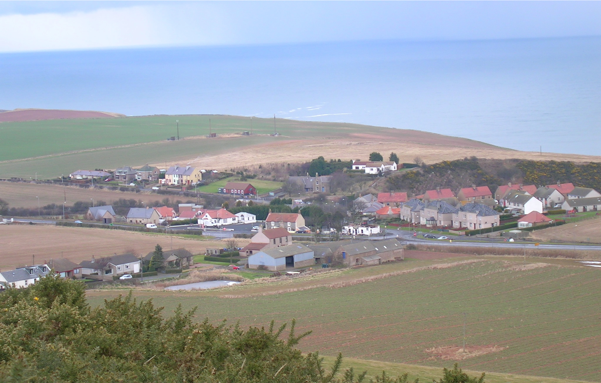
Cove is a village in the Scottish Borders area of Scotland, northwest of the Anglo-Scottish border, Scotland/England border. It is about southeast of Edinburgh and from Dunbar. Cove is close to Cockburnspath, Dunglass, Innerwick, Oldhamstocks, Bilsdean, and, further afield, Dunbar and Eyemouth. The climate is typical for Scotland, with cold, wet winters and variable summer weather, with days of rain and days of temperatures over . The nearest railway station is Dunbar, which is on the main East Coast line from London Kings Cross to Edinburgh. There are regular trains both from Dunbar to Edinburgh and southwards to Berwick-upon-Tweed. The nearest bus station is in Cockburnspath which takes passengers north to Edinburgh terminating at St Andrew Square, Edinburgh, St Andrews Square, and southwards, terminating in Berwick. The rocks that form the approach to the harbour are limestones and sandstones of Carboniferous age. They dip sharply to the N/NW due to the downthrust of the Cov ... [...More Info...] [...Related Items...] OR: [Wikipedia] [Google] [Baidu] |
St Abbs
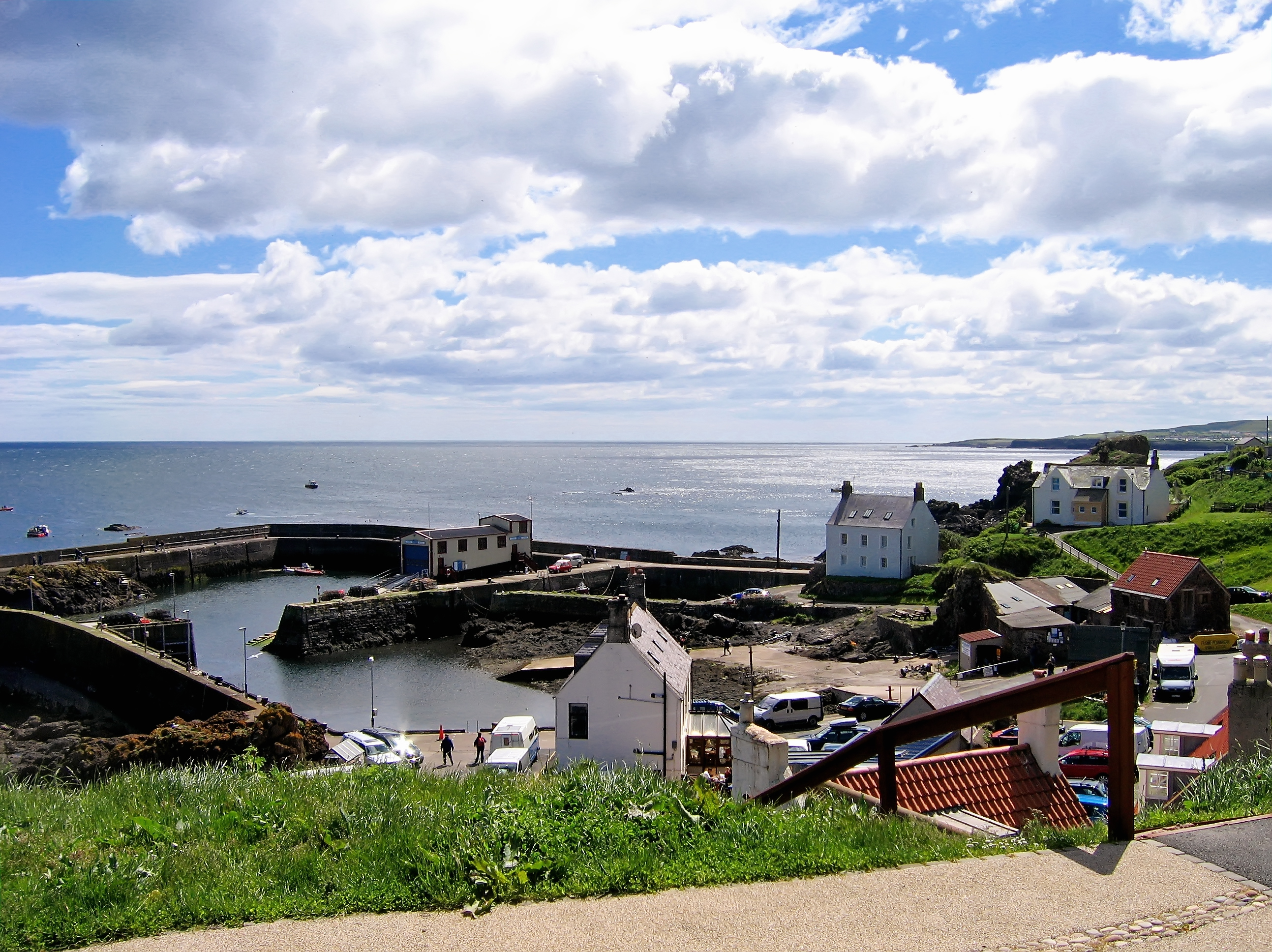
St Abbs is a small fishing village on the southeastern coast of Scotland, within the Coldingham parish of Scottish Borders. The village was originally known as ''Coldingham Shore'', the name St Abbs being adopted in the 1890s. The new name was derived from St Abb's Head, a rocky promontory located to the north of the village, itself named after the 7th-century saint Æbbe of Coldingham. History St Abbs was originally called Coldingham Shore. Prior to any buildings the fishermen who worked their boats from the beach resided at Fisher's Brae in Coldingham. These fishermen had to carry their fishing gear one and a half miles down a path to where their fishing vessels were tied up. The path is now known as the Creel Path; creel is the local name for a lobster pot. The first building in St Abbs was constructed in about the middle of the 18th century followed later by a row of five cottages. This first row of houses was constructed in a traditional Scottish style with a central ... [...More Info...] [...Related Items...] OR: [Wikipedia] [Google] [Baidu] |
Burnmouth
Burnmouth is a small fishing village located adjacent to the A1 road on the east coast of Scotland. It is the first village in Scotland on the A1, after crossing the border with England. Burnmouth is located in the Parish of Ayton, in the Scottish Borders area of Scotland and governed by Scottish Borders Council. Burnmouth lies at the point where a burn slices through the high cliffs lining this coast en route to the sea. There may have been a mill here in the Middle Ages, but little else until a fishing harbour was built in the 1830s, later extended in 1879 and 1959. The East Coast Main Line railway passes along the top of the cliff here, and was once served by Burnmouth railway station from 1846 to 1962. The Berwickshire Coastal Path is nearby. Burnmouth itself is split into two areas: Upper Burnmouth and Lower Burnmouth. Upper Burnmouth is sited at the top of the cliff. Lower Burnmouth is hidden away at the foot of cliff and stretches out along the foreshore. Lower Bur ... [...More Info...] [...Related Items...] OR: [Wikipedia] [Google] [Baidu] |
Eyemouth
Eyemouth ( sco, Heymooth) is a small town and civil parish in Berwickshire, in the Scottish Borders area of Scotland. It is east of the main north–south A1 road and north of Berwick-upon-Tweed. The town's name comes from its location at the mouth of the Eye Water river. The Berwickshire coastline consists of high cliffs over deep clear water with sandy coves and picturesque harbours. A fishing port, Eyemouth holds a yearly Herring Queen Festival. Notable buildings in the town include Gunsgreen House and a cemetery watch-house built to stand guard against the Resurrectionists (body snatchers). Many of the features of a traditional fishing village are preserved in the narrow streets and ' vennels'. Eyemouth is not far from the small villages of Ayton, Reston, St Abbs, Coldingham, and Burnmouth, all in Berwickshire. The coast offers opportunities for birdwatching, walking, fishing and diving. Accommodation includes several hotels, B&Bs and a holiday park. History F ... [...More Info...] [...Related Items...] OR: [Wikipedia] [Google] [Baidu] |


