|
Beeby Peak
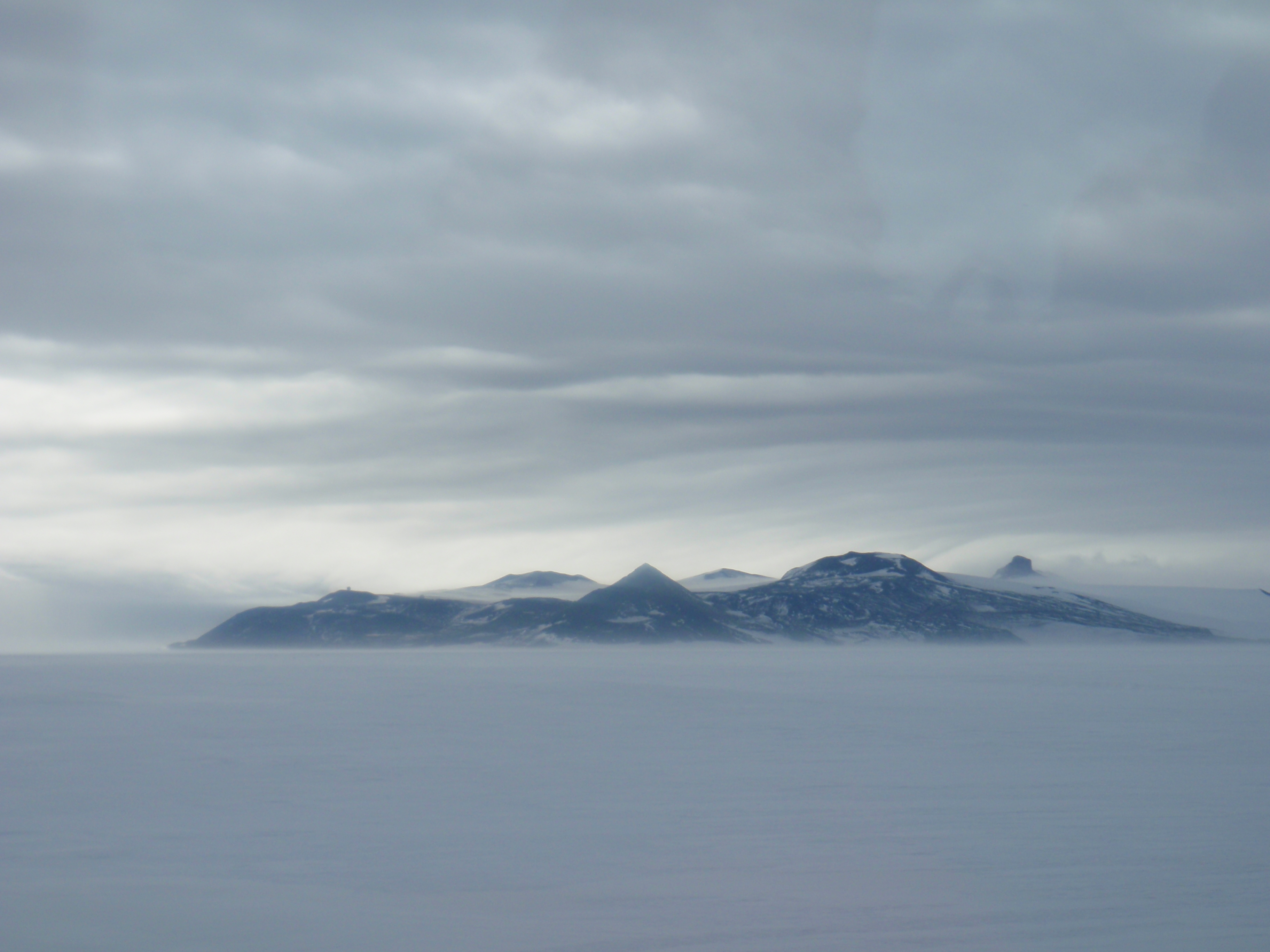
Beeby Peak () is a peak east-northeast of the summit of Mount Bird in northwest Ross Island, that rises to about . It was named by the New Zealand Geographic Board in 2000 after Chris Beeby Christopher David Beeby (October 1935 – 19 March 2000) was a New Zealand diplomat who held several ambassadorships and was involved in international litigation and negotiations, notably over Antarctic resources. Beeby was New Zealand's ambassa .... References Mountains of Ross Island {{RossIsland-geo-stub ... [...More Info...] [...Related Items...] OR: [Wikipedia] [Google] [Baidu] |
Summit (topography)
A summit is a point on a surface that is higher in elevation than all points immediately adjacent to it. The topographic terms acme, apex, peak (mountain peak), and zenith are synonymous. The term (mountain top) is generally used only for a mountain peak that is located at some distance from the nearest point of higher elevation. For example, a big, massive rock next to the main summit of a mountain is not considered a summit. Summits near a higher peak, with some prominence or isolation, but not reaching a certain cutoff value for the quantities, are often considered ''subsummits'' (or ''subpeaks'') of the higher peak, and are considered part of the same mountain. A pyramidal peak is an exaggerated form produced by ice erosion of a mountain top. Summit may also refer to the highest point along a line, trail, or route. The highest summit in the world is Mount Everest with a height of above sea level. The first official ascent was made by Tenzing Norgay and Sir Edmund Hill ... [...More Info...] [...Related Items...] OR: [Wikipedia] [Google] [Baidu] |
Mount Bird
Mount Bird is a high shield volcano standing about south of Cape Bird, the northern extremity of Ross Island. It was mapped by the British National Antarctic Expedition, 1901–04, under Robert Falcon Scott, and apparently named by them after Cape Bird. Endeavour Piedmont Glacier lies on its slopes. There are several western lobes of the Mount Bird icecap. One of these is Quaternary Icefall, which descends steeply into Wohlschlag Bay 1 mile (1.6 km) south of Cinder Hill. The site was mapped and so named by the New Zealand Geological Survey Antarctic Expedition (NZGSAE), 1958–59, because of the Quaternary glacial period marine shells carried by the glacier A glacier (; ) is a persistent body of dense ice that is constantly moving under its own weight. A glacier forms where the accumulation of snow exceeds its ablation over many years, often centuries. It acquires distinguishing features, such a ... and deposited in terminal moraines. Another such lobe is Shell G ... [...More Info...] [...Related Items...] OR: [Wikipedia] [Google] [Baidu] |
Ross Island
Ross Island is an island formed by four volcanoes in the Ross Sea near the continent of Antarctica, off the coast of Victoria Land in McMurdo Sound. Ross Island lies within the boundaries of Ross Dependency, an area of Antarctica claimed by New Zealand. History Discovery Sir James Ross discovered it in 1840, and it was later named in honour of him by Robert F. Scott. Ross Island was the base for many of the early expeditions to Antarctica. It is the southernmost island reachable by sea. Huts built by Scott's and Shackleton's expeditions are still standing on the island, preserved as historical sites. Today Ross Island is home to New Zealand's Scott Base, and the largest Antarctic settlement, the U.S. Antarctic Program's McMurdo Station. Greenpeace established World Park Base on the island and ran it for five years, from 1987 to 1992. Geography Because of the persistent presence of the ice sheet, the island is sometimes taken to be part of the Antarctic mainland. I ... [...More Info...] [...Related Items...] OR: [Wikipedia] [Google] [Baidu] |
New Zealand Geographic Board
The New Zealand Geographic Board Ngā Pou Taunaha o Aotearoa (NZGB) was established by the New Zealand Geographic Board Act 1946, which has since been replaced by the New Zealand Geographic Board (Ngā Pou Taunaha o Aotearoa) Act 2008. Although an independent institution, it is responsible to the Minister for Land Information. The board has authority over geographical and hydrographic names within New Zealand and its territorial waters. This includes the naming of small urban settlements, localities, mountains, lakes, rivers, waterfalls, harbours and natural features and may include researching local Māori names. It has named many geographical features in the Ross Sea region of Antarctica. It has no authority to alter street names (a local body responsibility) or the name of any country. The NZGB secretariat is part of Toitū Te Whenua Land Information New Zealand (LINZ) and provides the board with administrative and research assistance and advice. The New Zealand Geographi ... [...More Info...] [...Related Items...] OR: [Wikipedia] [Google] [Baidu] |
Chris Beeby
Christopher David Beeby (October 1935 – 19 March 2000) was a New Zealand diplomat who held several ambassadorships and was involved in international litigation and negotiations, notably over Antarctic resources. Beeby was New Zealand's ambassador to Iran (1978 to 1980) and to France (1991 to 1996) and was a member of the World Trade Organization's Appellate Body from 1995 to his death in 2000. While ambassador to Iran, Beeby assisted American diplomats in the Iran hostage crisis. Biography Christopher David Beeby was born on 10 or 15 October 1935, in Wellington, New Zealand, to C. E. Beeby and Beatrice Beeby. He attended the Victoria University of Wellington and the London School of Economics. He entered the New Zealand Department of Foreign Affairs in 1963 as a legal adviser, first working on the New Zealand Australia Free Trade Agreement. He was promoted to a divisional head in the department's legal division in 1969 and headed the economic division from 1976 to 1978. Beeb ... [...More Info...] [...Related Items...] OR: [Wikipedia] [Google] [Baidu] |

