|
Beach Ridge
A beach ridge is a Ocean surface wave, wave-swept or wave-deposited ridge running parallel (geometry), parallel to a shoreline. It is commonly composed of sand as well as sediment worked from underlying beach material. The movement of sediment by wave action is called ''littoral transport''. Movement of material parallel to the shoreline is called ''Longshore drift, longshore transport''. Movement perpendicular to the shore is called ''on-offshore transport''. A beach ridge may be capped by, or associated with, dune, sand dunes. The height of a beach ridge is affected by wave size and energy. A fall in water level (or an uplift of land) can isolate a beach ridge from the body of water that created it. Isolated beach ridges may be found along dry lakes in the western United States and inland of the Great Lakes of North America, where they formed at the end of the last ice age when lake levels were much higher due to glacier, glacial melting and obstructed outflow caused by glaci ... [...More Info...] [...Related Items...] OR: [Wikipedia] [Google] [Baidu] |
Scandinavia
Scandinavia is a subregion#Europe, subregion of northern Europe, with strong historical, cultural, and linguistic ties between its constituent peoples. ''Scandinavia'' most commonly refers to Denmark, Norway, and Sweden. It can sometimes also refer to the Scandinavian Peninsula (which excludes Denmark but includes a part of northern Finland). In English usage, Scandinavia is sometimes used as a synonym for Nordic countries. Iceland and the Faroe Islands are sometimes included in Scandinavia for their Ethnolinguistics, ethnolinguistic relations with Sweden, Norway and Denmark. While Finland differs from other Nordic countries in this respect, some authors call it Scandinavian due to its economic and cultural similarities. The geography of the region is varied, from the Norwegian fjords in the west and Scandinavian mountains covering parts of Norway and Sweden, to the low and flat areas of Denmark in the south, as well as archipelagos and lakes in the east. Most of the population ... [...More Info...] [...Related Items...] OR: [Wikipedia] [Google] [Baidu] |
Chenier
A chenier or chénier is a sandy or shelly beach ridge that is part of a strand plain, called a “chenier plain,” consisting of cheniers separated by intervening mud-flat deposits with marsh and swamp vegetation. Cheniers are typically one to six meters high, tens of kilometers long, hundreds of meters wide, and often wooded. Chenier plains can be tens of kilometers wide. Cheniers and associated chenier plains are associated with shorelines characterized by generally low wave energy, low gradient, muddy shorelines, and abundant sediment supply. The name is derived from the Louisiana French word for these formations, “chênière", meaning oak-grove, referring to the forests of live oaks Quercus virginiana that occupy the chenier ridges within southwest Louisiana.Goodie, A.S. (2004) ''Encyclopedia of Geomorphology'' Routledge. London, United Kingdom. 1,200 p. Otvos, E.G. and W.A. Price (1979) ''Problems of chenier genesis and terminology—an overview.'' Marine Geology. v. 31, ... [...More Info...] [...Related Items...] OR: [Wikipedia] [Google] [Baidu] |
Beach
A beach is a landform alongside a body of water which consists of loose particles. The particles composing a beach are typically made from Rock (geology), rock, such as sand, gravel, shingle beach, shingle, pebbles, etc., or biological sources, such as mollusc shells or coralline algae. Sediments settle in different densities and structures, depending on the local wave action and weather, creating different textures, colors and gradients or layers of material. Though some beaches form on inland freshwater locations such as lakes and rivers, most beaches are in coastal areas where wind wave, wave or Ocean current, current action deposition (geology), deposits and reworks sediments. Coastal erosion, Erosion and changing of beach geologies happens through natural processes, like wave action and Extreme weather, extreme weather events. Where wind conditions are correct, beaches can be backed by coastal dunes which offer protection and regeneration for the beach. However, th ... [...More Info...] [...Related Items...] OR: [Wikipedia] [Google] [Baidu] |
Berm (landform)
At a flat coast or flat shoreline, the land descends gradually into the sea. Flat coasts can be formed either as a result of the sea advancing into gently sloping terrain or through the abrasion of loose rock. They may be basically divided into two parallel strips: the shoreface and the beach. Flat coasts consist of loose material such as sand and gravel. Wind transports finer grains of sand inland over the dunes. The sea washes pebbles and sand away from the coast and dumps it at other locations. Flat coast littoral series The typical sequence of landforms created by the sea is described as a "littoral series". Sandbars, runnels and creeks The littoral series of a flat coast starts in the permanently flooded shallow water region, or shoreface, with a sand or gravel reef (also called a bar). The longshore bar is an elongated ridge of sand found parallel to the shore in the surf zone on many flat coasts. It consists mainly of sand or gravel, depending on the material avai ... [...More Info...] [...Related Items...] OR: [Wikipedia] [Google] [Baidu] |
Alkmaar
Alkmaar () is a List of cities in the Netherlands by province, city and List of municipalities of the Netherlands, municipality in the Netherlands, located in the Provinces of the Netherlands, province of North Holland. Alkmaar is well known for its traditional cheese market. For tourists, it is a popular cultural destination. The municipality has a population of 111,766 as of 2023. History The earliest mention of the name Alkmaar is in a 10th-century document. As the village grew into a town, it was granted City rights in the Netherlands, city rights in 1254. The oldest part of Alkmaar lies on an ancient sand bank a couple of meters (yards) above the surrounding region; it afforded some protection from inundation during medieval times. Its vicinage consists of some of the Achtermeer, oldest polders in existence. Older spellings include Alckmar. On 24 June 1572, after the Geuzen captured the town, five Franciscans from Alkmaar were taken to Enkhuizen and hanged, becoming the m ... [...More Info...] [...Related Items...] OR: [Wikipedia] [Google] [Baidu] |
Haarlem
Haarlem (; predecessor of ''Harlem'' in English language, English) is a List of cities in the Netherlands by province, city and Municipalities of the Netherlands, municipality in the Netherlands. It is the capital of the Provinces of the Netherlands, province of North Holland. Haarlem is situated at the northern edge of the Randstad, one of the Largest European cities and metropolitan areas, more populated metropolitan areas in Europe; it is also part of the Amsterdam metropolitan area. Haarlem had a population of in . Haarlem was granted city status or in 1245, although the first city walls were not built until 1270. The modern city encompasses the former municipality of Schoten, Netherlands, Schoten as well as parts that previously belonged to Bloemendaal and Heemstede. Apart from the city, the municipality of Haarlem also includes the western part of the village of Spaarndam. Newer sections of Spaarndam lie within the neighbouring municipality of Haarlemmermeer. Geography ... [...More Info...] [...Related Items...] OR: [Wikipedia] [Google] [Baidu] |
The Hague
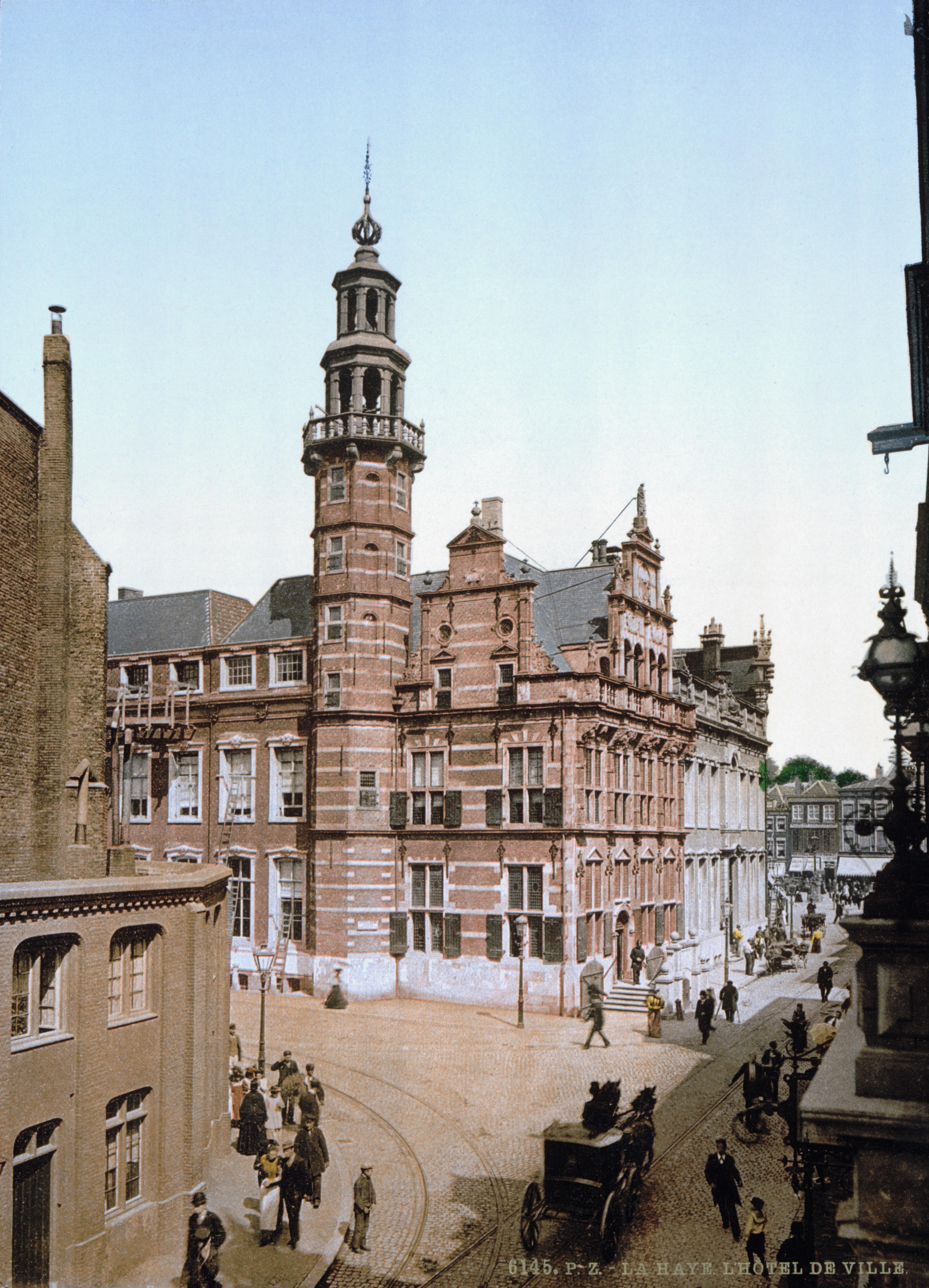
The Hague ( ) is the capital city of the South Holland province of the Netherlands. With a population of over half a million, it is the third-largest city in the Netherlands. Situated on the west coast facing the North Sea, The Hague is the country's administrative centre and its seat of government, and has been described as the country's ''de facto'' capital since the time of the Dutch Republic, while Amsterdam is the official capital of the Netherlands. The Hague is the core municipality of the COROP, Greater The Hague urban area containing over 800,000 residents, and is also part of the Rotterdam–The Hague metropolitan area, which, with a population of approximately 2.6 million, is the largest metropolitan area of the Netherlands. The city is also part of the Randstad region, one of the largest conurbations in Europe. The Hague is the seat of the Cabinet of the Netherlands, Cabinet, the States General of the Netherlands, States General, the Supreme Court of the Neth ... [...More Info...] [...Related Items...] OR: [Wikipedia] [Google] [Baidu] |
Mire
A peatland is a type of wetland whose soils consist of Soil organic matter, organic matter from decaying plants, forming layers of peat. Peatlands arise because of incomplete decomposition of organic matter, usually litter from vegetation, due to Waterlogging (agriculture), water-logging and subsequent anoxic waters, anoxia. Peatlands are unusual landforms that derive mostly from biological rather than physical processes, and can take on characteristic shapes and surface patterning. The formation of peatlands is primarily controlled by climatic conditions such as precipitation and temperature, although terrain relief is a major factor as waterlogging occurs more easily on flatter ground and in basins. Peat formation typically initiates as a paludification of a mineral soil forests, terrestrialisation of lakes, or primary peat formation on bare soils on previously glaciated areas. A peatland that is actively forming peat is called a ''mire''. All types of mires share the common ... [...More Info...] [...Related Items...] OR: [Wikipedia] [Google] [Baidu] |
Atlanticum
The Atlantic in palaeoclimatology was the warmest and moistest Blytt–Sernander period, pollen zone and chronozone of Holocene northern Europe. The climate was generally warmer than today. It was preceded by the Boreal, with a climate similar to today's, and was followed by the Subboreal, a transition to the modern. Because it was the warmest period of the Holocene, the Atlantic is often referenced more directly as the Holocene climatic optimum, or just climatic optimum. Subdividing the Atlantic The Atlantic is equivalent to pollen zone VII. Sometimes a Pre-atlantic or early Atlantic is distinguished, on the basis of an early dividing cold snap. Other scientists place the Atlantic entirely after the cold snap, assigning the latter to the Boreal. The period is still in the process of definition. Dating Beginning of the Atlantic period It is a question of definition and the criteria: Beginning with the temperatures, as derivable from Greenland ice core data, it is possible ... [...More Info...] [...Related Items...] OR: [Wikipedia] [Google] [Baidu] |
Holocene
The Holocene () is the current geologic time scale, geological epoch, beginning approximately 11,700 years ago. It follows the Last Glacial Period, which concluded with the Holocene glacial retreat. The Holocene and the preceding Pleistocene together form the Quaternary period. The Holocene is an interglacial period within the ongoing Ice age, glacial cycles of the Quaternary, and is equivalent to Marine isotope stages, Marine Isotope Stage 1. The Holocene correlates with the last maximum axial tilt towards the Sun of the Earth#Axial tilt and seasons, Earth's obliquity. The Holocene corresponds with the rapid proliferation, growth, and impacts of the human species worldwide, including Recorded history, all of its written history, technological revolutions, development of major civilizations, and overall significant transition towards urban culture, urban living in the present. The human impact on modern-era Earth and its ecosystems may be considered of global significance for th ... [...More Info...] [...Related Items...] OR: [Wikipedia] [Google] [Baidu] |
Netherlands
, Terminology of the Low Countries, informally Holland, is a country in Northwestern Europe, with Caribbean Netherlands, overseas territories in the Caribbean. It is the largest of the four constituent countries of the Kingdom of the Netherlands. The Netherlands consists of Provinces of the Netherlands, twelve provinces; it borders Germany to the east and Belgium to the south, with a North Sea coastline to the north and west. It shares Maritime boundary, maritime borders with the United Kingdom, Germany, and Belgium. The official language is Dutch language, Dutch, with West Frisian language, West Frisian as a secondary official language in the province of Friesland. Dutch, English_language, English, and Papiamento are official in the Caribbean Netherlands, Caribbean territories. The people who are from the Netherlands is often referred to as Dutch people, Dutch Ethnicity, Ethnicity group, not to be confused by the language. ''Netherlands'' literally means "lower countries" i ... [...More Info...] [...Related Items...] OR: [Wikipedia] [Google] [Baidu] |


