|
Bay Of Txingudi
The Bay of Txingudi ( eu, Txingudiko badia, french: Baie de Chingoudy, es, Bahía de Chingudi) is a bay in the right or French bank of the estuary of the Bidasoa river, near Hendaye in the département of Pyrénées-Atlantiques in south-west France. It faces the town of Hondarribia and the airport of San Sebastián in the Gipuzkoa province of the Basque Country, in north-eastern Spain. The border between the two countries passes through the Bidasoa estuary. It is an important area for bird-watching. The name may, by extension, be applied to the whole body of water between the French and Spanish sides. The coastal marshes on the Spanish side have been designated as a protected Ramsar site A Ramsar site is a wetland site designated to be of international importance under the Ramsar Convention,8 ha (O) *** Permanent 8 ha (P) *** Seasonal Intermittent < 8 ha(Ts) ** [...More Info...] [...Related Items...] OR: [Wikipedia] [Google] [Baidu] |
Bidasoa
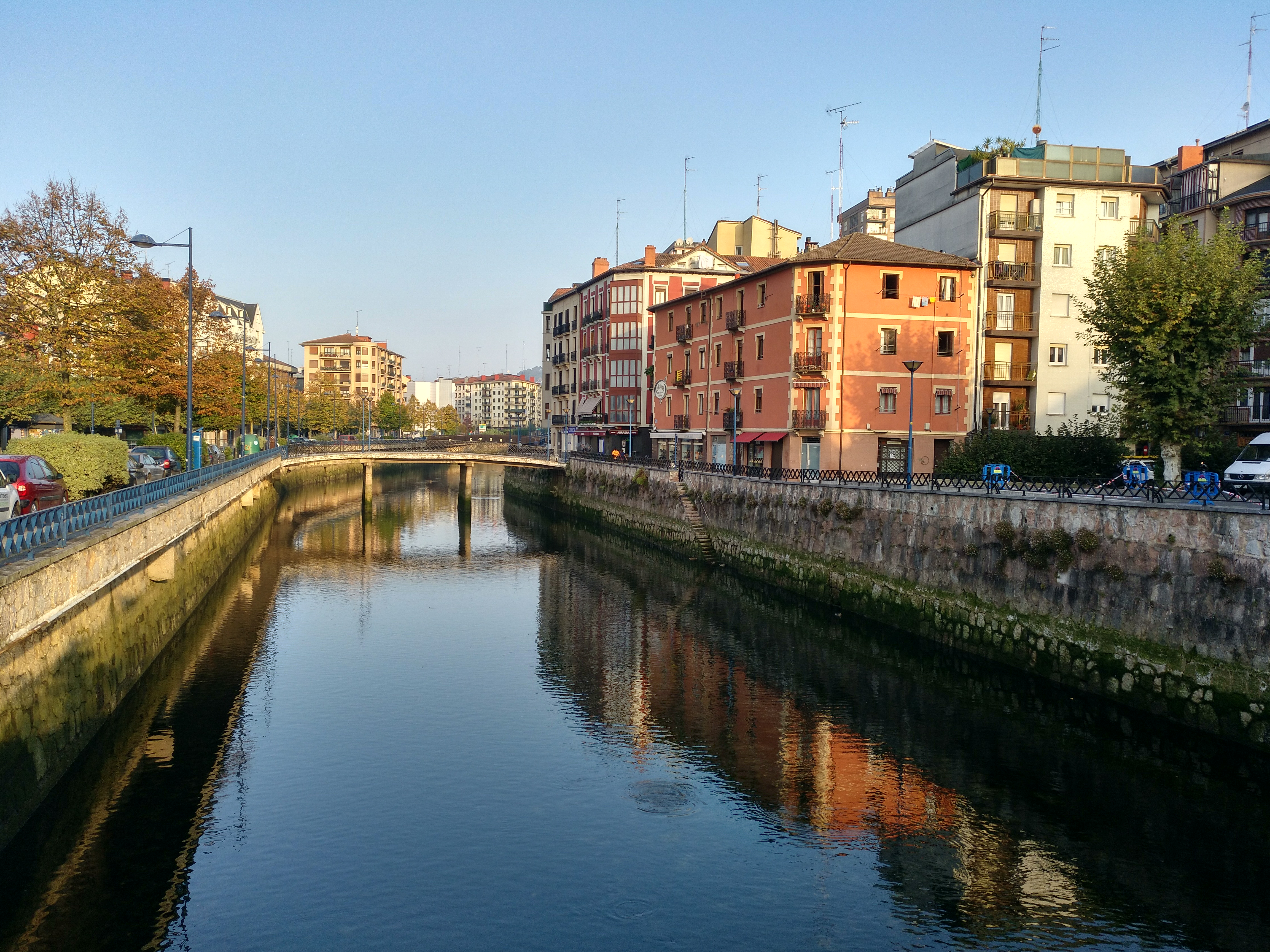
__NOTOC__ The Bidasoa (, ; french: Bidassoa, ) is a river in the Basque Country of northern Spain and southern France that runs largely south to north. Named as such downstream of the village of Oronoz-Mugairi (municipality of Baztan) in the province of Navarre, the river actually results from the merger of several streams near the village ''Erratzu'', with the stream Baztan that rises at the north-eastern side of the mount Autza (1,306 m) being considered the source of the Bidasoa. It joins the Cantabrian Sea (Bay of Biscay) between the towns of Hendaye and Hondarribia. The river is best known for establishing the borderline at its lower tract. This stretch is crossed not only by aircraft at low height but by important European communication axes, namely AP8 E5 E80 - E70 A63 (motorway, connection at the Biriatu toll), main roads N1 - N10 (connection at the roundabout of ''Saizar'' by the river) and major French and Spanish railway networks,— RENFE and SNCF. Besides the ... [...More Info...] [...Related Items...] OR: [Wikipedia] [Google] [Baidu] |
Ramsar Convention
The Ramsar Convention on Wetlands of International Importance Especially as Waterfowl Habitat is an international treaty for the conservation and sustainable use of Ramsar site, Ramsar sites (wetlands). It is also known as the Convention on Wetlands. It is named after the city of Ramsar, Mazandaran, Ramsar in Iran, where the convention was signed in 1971. Every three years, representatives of the contracting parties meet as the Ramsar Convention#Conference of the Contracting Parties, Conference of the Contracting Parties (COP), the policy-making organ of the wetland conservation, convention which adopts decisions (resolutions and recommendations) to administer the work of the convention and improve the way in which the parties are able to implement its objectives. COP12 was held in Punta del Este, Uruguay, in 2015. COP13 was held in Dubai, United Arab Emirates, in October 2018. List of wetlands of international importance The list of wetlands of international importan ... [...More Info...] [...Related Items...] OR: [Wikipedia] [Google] [Baidu] |
Estuary
An estuary is a partially enclosed coastal body of brackish water with one or more rivers or streams flowing into it, and with a free connection to the open sea. Estuaries form a transition zone between river environments and maritime environments and are an example of an ecotone. Estuaries are subject both to marine influences such as tides, waves, and the influx of saline water, and to fluvial influences such as flows of freshwater and sediment. The mixing of seawater and freshwater provides high levels of nutrients both in the water column and in sediment, making estuaries among the most productive natural habitats in the world. Most existing estuaries formed during the Holocene epoch with the flooding of river-eroded or glacially scoured valleys when the sea level began to rise about 10,000–12,000 years ago. Estuaries are typically classified according to their geomorphological features or to water-circulation patterns. They can have many different names, such as bay ... [...More Info...] [...Related Items...] OR: [Wikipedia] [Google] [Baidu] |
Département
In the administrative divisions of France, the department (french: département, ) is one of the three levels of government under the national level ("territorial collectivities"), between the administrative regions and the communes. Ninety-six departments are in metropolitan France, and five are overseas departments, which are also classified as overseas regions. Departments are further subdivided into 332 arrondissements, and these are divided into cantons. The last two levels of government have no autonomy; they are the basis of local organisation of police, fire departments and, sometimes, administration of elections. Each department is administered by an elected body called a departmental council ( ing. lur.. From 1800 to April 2015, these were called general councils ( ing. lur.. Each council has a president. Their main areas of responsibility include the management of a number of social and welfare allowances, of junior high school () buildings and technical ... [...More Info...] [...Related Items...] OR: [Wikipedia] [Google] [Baidu] |
Pyrénées-Atlantiques
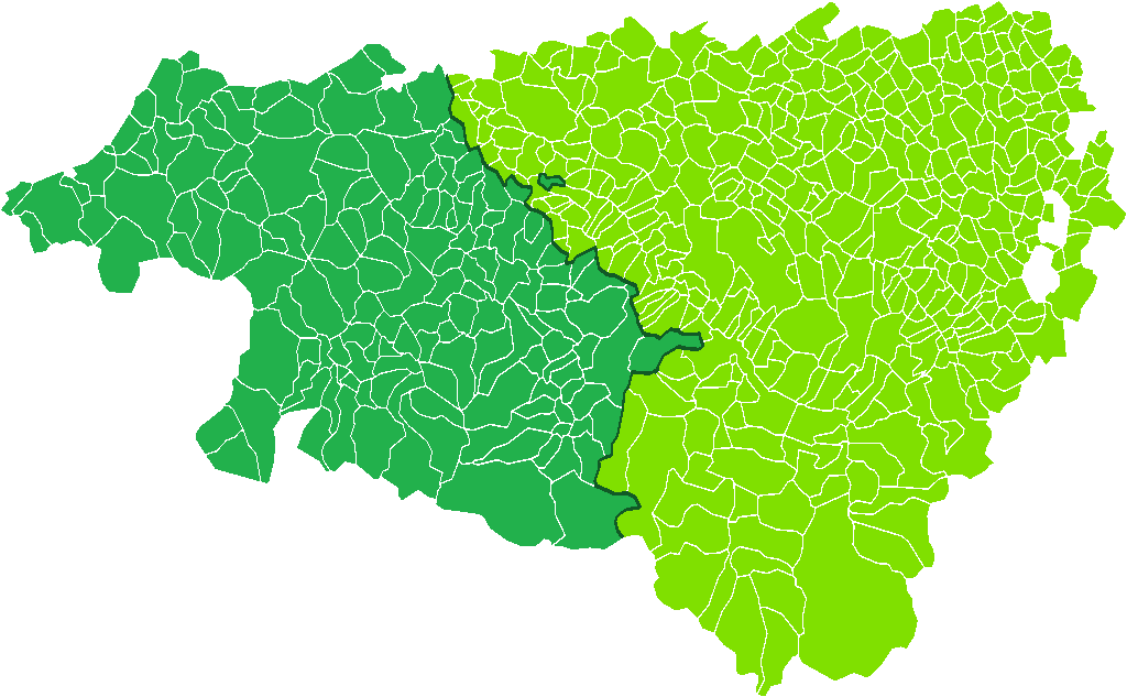
Pyrénées-Atlantiques (; Gascon Occitan: ''Pirenèus Atlantics''; eu, Pirinio Atlantiarrak or ) is a department in the southwest corner of France and of the region of Nouvelle-Aquitaine. Named after the Pyrenees mountain range and the Atlantic Ocean, it covers the French Basque Country and the Béarn. Its prefecture is Pau. In 2019, it had a population of 682,621.Populations légales 2019: 64 Pyrénées-Atlantiques INSEE History Originally named Basses-Pyrénées, it is one of the first 83 created during the |
Hondarribia
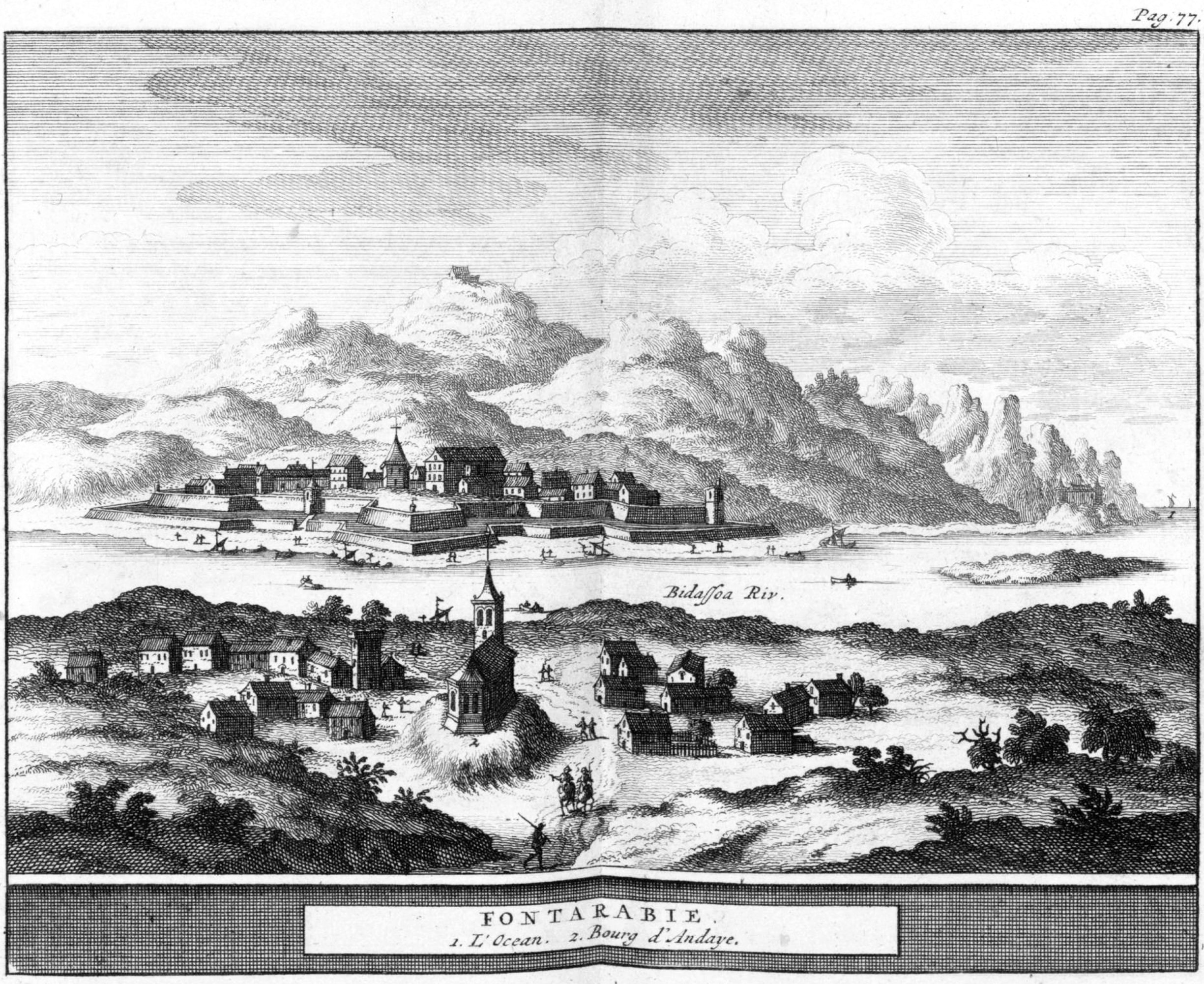
es, fuenterribense , population_note = , population_density_km2 = auto , blank_name_sec1 = Official language(s) , blank_info_sec1 = Basque, Spanish , timezone = CET , utc_offset = +1 , timezone_DST = CEST , utc_offset_DST = +2 , postal_code_type = Postal code , postal_code = 20280 , area_code_type = Dialing code , area_code = , leader_title = Mayor , leader_name = Txomin Sagarzazu , leader_party = EAJ-PNV , website = , footnotes = Hondarribia ( eu, Hondarribia; es, Fuenterrabía; french: Fontarrabie) is a town situated on the west shore of Bidasoa river's mouth, in Gipuzkoa, in Basque Country, Spain. The border town is situated on a little promontory facing Hendaye (France) over the Txingudi bay. A service boat makes the trip between the two cities. The town holds an ancient old q ... [...More Info...] [...Related Items...] OR: [Wikipedia] [Google] [Baidu] |
San Sebastián Airport
San Sebastián Airport is the airport serving San Sebastián in Basque Country, Spain. Despite its name, the facilities are located in the municipality of Hondarribia, with the runway stretching like a spit of land along the river Bidasoa right on the Spanish–French border. Overview The airport primarily serves domestic flights, especially to Madrid, and an international service to London City has commenced as of July 2022. A scheme is in the pipeline to lengthen the runway (2008) in order to meet the requirements established to provide service for larger aircraft. Preliminary plans are still coming up against strong opposition, which has added to the economic difficulties facing the carriers using the airport, making its future all the more uncertain. Other nearby airports are Bilbao Airport (117 km by car) and Biarritz Pays Basque Airport Biarritz Pays Basque Airport , also known as Biarritz Airport or Biarritz-Parme Airport, is an airport serving Biarritz, French ... [...More Info...] [...Related Items...] OR: [Wikipedia] [Google] [Baidu] |
Gipuzkoa
Gipuzkoa (, , ; es, Guipúzcoa ; french: Guipuscoa) is a province of Spain and a historical territory of the autonomous community of the Basque Country. Its capital city is Donostia-San Sebastián. Gipuzkoa shares borders with the French department of Pyrénées-Atlantiques at the northeast, with the province and autonomous community of Navarre at east, Biscay at west, Álava at southwest and the Bay of Biscay to its north. It is located at the easternmost extreme of the Cantabric Sea, in the Bay of Biscay. It has of coast land. With a total area of , Gipuzkoa is the smallest province of Spain. The province has 89 municipalities and a population of 720,592 inhabitants (2018), from which more than half live in the Donostia-San Sebastián metropolitan area. Apart from the capital, other important cities are Irun, Errenteria, Zarautz, Mondragón, Eibar, Hondarribia, Oñati, Tolosa, Beasain and Pasaia. The oceanic climate gives the province an intense green co ... [...More Info...] [...Related Items...] OR: [Wikipedia] [Google] [Baidu] |
Basque Country (autonomous Community)
The Basque Country (; eu, Euskadi ; es, País Vasco ), also called Basque Autonomous Community ( eu, Euskal Autonomia Erkidegoa, links=no, EAE; es, Comunidad Autónoma del País Vasco, links=no, CAPV), is an autonomous community of Spain. It includes the provinces (and historical territories) of Álava, Biscay, and Gipuzkoa, located in the north of the Iberian Peninsula, bordering on the autonomous communities of Cantabria, Castile and León, La Rioja, and Navarre, and the French region of Nouvelle-Aquitaine. The Basque Country or Basque Autonomous Community is enshrined as a ' nationality' within the Spanish State in its 1979 statute of autonomy, pursuant to the administrative acquis laid out in the 1978 Spanish Constitution. The statute provides the legal framework for the development of the Basque people on Spanish soil. Navarre, which had narrowly rejected a joint statute with Gipuzkoa, Álava and Biscay in 1932, became a full-fledged foral autonomous communit ... [...More Info...] [...Related Items...] OR: [Wikipedia] [Google] [Baidu] |
Spain
, image_flag = Bandera de España.svg , image_coat = Escudo de España (mazonado).svg , national_motto = '' Plus ultra'' ( Latin)(English: "Further Beyond") , national_anthem = (English: "Royal March") , image_map = , map_caption = , image_map2 = , capital = Madrid , coordinates = , largest_city = Madrid , languages_type = Official language , languages = Spanish , ethnic_groups = , ethnic_groups_year = , ethnic_groups_ref = , religion = , religion_ref = , religion_year = 2020 , demonym = , government_type = Unitary parliamentary constitutional monarchy , leader_title1 = Monarch , leader_name1 = Felipe VI , leader_title2 = Prime Minister , leader_name2 = Pedro Sánchez , legislature = ... [...More Info...] [...Related Items...] OR: [Wikipedia] [Google] [Baidu] |
Ramsar Site
A Ramsar site is a wetland site designated to be of international importance under the Ramsar Convention,8 ha (O) *** Permanent 8 ha (P) *** Seasonal Intermittent < 8 ha(Ts) ** Marshes on inorganic soils: *** Permanent (herb dominated) (Tp) *** Permanent / Seasonal / Intermittent (shrub dominated)(W) *** Permanent / Seasonal / Intermittent (tree dominated) (Xf) *** Seasonal/intermittent (herb dominated) (Ts) ** Marshes on soils: *** Permanent (non-forested)(U) *** Permanent (forested)(Xp) ** Marshes on inorganic or peat soils: *** Marshes on inorganic or peat soils / High altitude (alpine) (Va) *** Marshes on inorganic or peat soils / Tundra (Vt) * Saline, [...More Info...] [...Related Items...] OR: [Wikipedia] [Google] [Baidu] |


