|
Bapatla
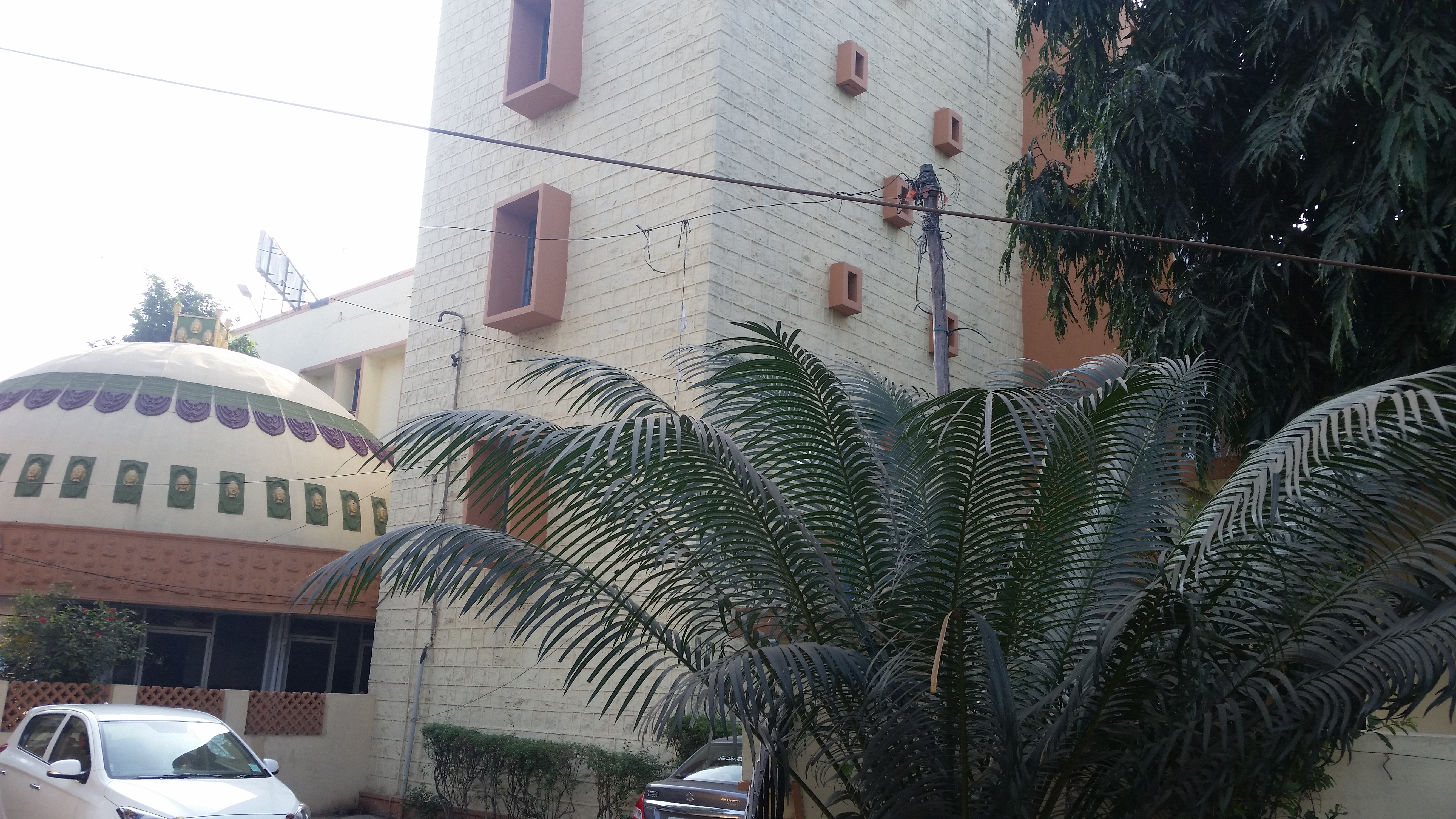
Bapatla is a town and district headquarters of Bapatla district in the Indian state of Andhra Pradesh. It is a municipality and the mandal headquarters of Bapatla mandal of Bapatla revenue division. The nearest towns and cities to Bapatla are Chirala, Ponnur, Tenali and Guntur of 17 km, 22 km, 50 km and 53 km respectively. Etymology The name Bapatla is derived from the presiding deity of the Bhavanarayana Temple, which is believed to date back to the Mauryan period. Historically, the town was known as Bhavapuri during the time of the Mauryan Empire, reflecting its connection to the temple and the deity worshipped there. The town has also been referred to as Bhavapattana, Bhavapattu and Bhavapatta. These names were derived from the temple, which was constructed in 1465 by a Chola king named Krimikantha Chola and later restored. Over time, these names evolved into the present name of Bapatla. Geography The coordinates of the town are and is located ... [...More Info...] [...Related Items...] OR: [Wikipedia] [Google] [Baidu] |
Bapatla District
Bapatla district is a district in coastal Andhra in the Indian state of Andhra Pradesh (AP) established on 4 April 2022. The administrative headquarters are in Bapatla. The district is formed from parts of the erstwhile Prakasam district and Guntur districts. It has an Indian Air Force station and several universities. History Named after Bhavanarayana Swamy temple, it was originally called Bhavapuri, and later to Bhavapatla and finally, Bapatla, in due course. In 1977, a proposal to form Bapatla district was made by Kolla Venkaiah, famous communist leader. On April 4, 2022 as part of forming districts with parliamentary constituencies as the basis, the district was created with parts from erstwhile Prakasam district and Guntur districts. Bapatla Taluka was created in 1794. During May 26-27, 1913 meeting of the first Andhra Mahasabha at the townhall, the foundation for separate state for Andhras was mooted. During Independence movement, Chirala-Perala movement of 1919 led b ... [...More Info...] [...Related Items...] OR: [Wikipedia] [Google] [Baidu] |
Bapatla (Assembly Constituency)
Bapatla Assembly constituency is a constituency in Bapatla district of Andhra Pradesh that elects representatives to the Andhra Pradesh Legislative Assembly in India. It is one of the seven assembly segments of Bapatla Lok Sabha constituency. Vegesana Narendra Varma Raju is the current MLA of the constituency, having won the 2019 Andhra Pradesh Legislative Assembly election from YSR Congress Party. As of 25 March 2019, there are a total of 183,917 electors in the constituency. The constituency was established in 1951, as per ''Delimination Orders (1951)''. Mandals Members of the Legislative Assembly Election results 1952 1955 1962 1967 1972 1978 1983 1985 1989 1994 1999 2004 2009 2014 2019 2024 See also * Lis ... [...More Info...] [...Related Items...] OR: [Wikipedia] [Google] [Baidu] |
Bapatla (Lok Sabha Constituency)
Bapatla is one of the twenty-five List of constituencies of the Lok Sabha#Andhra Pradesh (25), lok sabha constituencies of Andhra Pradesh in India. It comprises seven assembly segments in Bapatla district, Bapatla and Prakasam district, Prakasam districts . Assembly segments Bapatla constituency comprises the following Andhra Pradesh Legislative Assembly, Legislative Assembly segments: ''Source: Assembly segments of Parliamentary constituencies'' Members of Parliament Election results General Election 1989 General Election 1991 General Election 1996 General Election 1998 General Election 1999 General Election 2004 General Election 2009 General Election 2014 2019 2024 See also * List of constituencies of the Andhra Pradesh Legislative Assembly References External links Bapatla lok sabha constituency election 2019 date and schedule {{DEFAULTSORT:Bap ... [...More Info...] [...Related Items...] OR: [Wikipedia] [Google] [Baidu] |
Bapatla Mandal
Bapatla mandal is one of the 25 mandals in Bapatla district of the state of Andhra Pradesh, India. It is under the administration of Bapatla revenue division and the headquarters are located at Bapatla. The mandal is bounded by Kakumanu, Ponnur, Karlapalem mandals of Guntur district. It also shares borders with Prakasam district and a portion of it lies on the coast of Bay of Bengal. Demographics census, the mandal had a population of 143,825 in 38,605 households. The total population constitute, 70,847 males and 72,978 females — a sex ratio of 1030 females per 1000 males. 13,371 children are in the age group of 0–6 years, of which 6,856 are boys and 6,515 are girls — a sex ratio of 950 per 1000. The average literacy rate stands at 71.79% with 93,653 literates. 49.21% of the population lives in urban areas. Scheduled Castes and Scheduled Tribes make up 28,807 (20.03%) and 8,492 (5.90%) respectively. At the time of the 2011 census, 93.65% of the population spo ... [...More Info...] [...Related Items...] OR: [Wikipedia] [Google] [Baidu] |
List Of Constituencies Of Andhra Pradesh Legislative Assembly
The Andhra Pradesh Legislative Assembly is the unicameral legislature of the state of Andhra Pradesh in India. It currently has 175 constituencies, out of which 29 constituencies are reserved for Scheduled Castes candidates, and 7 constituencies are reserved for Scheduled tribes candidates. Out of these 175 constituencies in the 2024 elections, YSRCP won 11 seats, TDP won 135 seats and JSP won 21 seats and BJP won 8 seats. District-wise summary List of current constituencies The below is a list of constituencies of Andhra Pradesh Legislative Assembly. List of former constituencies Constituencies abolished in 2008 The most recent Delimitation Commission was constituted on July 12, 2002. The recommendations of the commission were approved by the Presidential notification on February 19, 2008. The Andhra Pradesh Legislative Assembly constituencies, abolished as a result were as follows: Anantapur * Nallamada constituency * Gorantla constituency * Gooty constit ... [...More Info...] [...Related Items...] OR: [Wikipedia] [Google] [Baidu] |
List Of Urban Local Bodies In Andhra Pradesh
This article lists all the urban local bodies in the Indian state of Andhra Pradesh, including municipal corporations, municipalities and Nagar panchayats. According to the Directorate of Town and Country Planning under the Government of Andhra Pradesh, the state comprises 123 urban local bodies across its 26 districts. These include 17 municipal corporations, 77 municipalities, and 29 Nagar panchayats. Based on available data, Bheemunipatnam is the oldest municipality in Andhra Pradesh and the second oldest in India, after Chennapatnam (modern-day Chennai). Currently, Bheemunipatnam is part of the Greater Visakhapatnam Municipal Corporation (GVMC). In the Rayalaseema region, Adoni, located in the Kurnool district, holds the distinction of being the oldest municipality, followed by Kurnool. The hierarchy of Urban Local Bodies # Urban Development Authority # Municipal Corporation # Municipality #* ''Selection Grade Municipality'' #* ''Special Grade Municipality'' #* ''Grade - ... [...More Info...] [...Related Items...] OR: [Wikipedia] [Google] [Baidu] |
List Of Districts Of Andhra Pradesh
The States and union territories of India, state of Andhra Pradesh has 26 Districts of India, districts. Visakhapatnam district is the smallest district in area while Prakasam district is the largest. Nellore district is the most populous whereas Parvathipuram Manyam district is the least populous district. The districts are further divided into two or more revenue divisions, which are further subdivided into List of mandals in Andhra Pradesh, mandals for administrative purposes. History At the time of Partition of India, Independence the present day Andhra Pradesh was a part of the Madras State. The telugu speaking dominant regions Kostaandhra and Rayalaseema were separated from Madras State to form Andhra State in 1953. As Andhra State, it consists of 11 districts, which are Anantapur district, Anantapur, Chittoor district, Chittoor, East Godavari district, East Godavari, Guntur district, Guntur, Kadapa district, Kadapa, Krishna district, Krishna, Kurnool district, Kurnool, ... [...More Info...] [...Related Items...] OR: [Wikipedia] [Google] [Baidu] |
Chirala
Chirala (), is a city in Bapatla district of the Indian state of Andhra Pradesh. It is a municipality and the headquarters of Chirala mandal in Chirala revenue division. , it had a population of above 170,000. Chirala is the most populated city in Bapatla Lok Sabha Parliamentary Constituency. Etymology The city was also known as ''Kshirapuri'', (, Telugu) which means "sea of milk" in Sanskrit.The city was carved out of Sudhanagaram, original name of Patha Chirala, that was granted to Chirala Anantharaju by Goparaju Ramanna, Minister of the Kakatiya king, Ganapati Deva, during Saka 1067 (1145 AD) as mentioned in the records obtained from the Madras Oriental Library. His descendant, Chirala Venkata Krishnudu, leased out the present Chirala area for raising a new township. Thus, present-day Chirala was born on 1604 AD. Independence Movement- Chirala Perala Movement Chirala name was carved in Independence struggle The then British government has laid taxes which was very hig ... [...More Info...] [...Related Items...] OR: [Wikipedia] [Google] [Baidu] |
List Of Districts In India
A district (''Zila (country subdivision), zila''), also known as revenue district, is an Administrative divisions of India, administrative division of an States and union territories of India, Indian state or territory. In some cases, districts are further subdivided into Revenue division, sub-divisions, and in others directly into tehsil, ''tehsils'' or ''talukas''. , there are a total of 780 districts in India. This count includes Mahe and Yanam which are Census districts and not Administrative districts and also includes the temporary Maha Kumbh Mela district but excludes Itanagar Capital Complex which has a Deputy Commissioner but is not an official district. District Administration ;The District officials include: *District Judge (India), District & Sessions Judge (Principal & additional), an officer belonging to the Judiciary of India, Indian Judicial Service (state), responsible for justice and passing orders of imprisonment, including the Capital punishment, death pena ... [...More Info...] [...Related Items...] OR: [Wikipedia] [Google] [Baidu] |
List Of Constituencies Of The Lok Sabha
The Lok Sabha, the Lower House of the Parliament of India, is made up of Members of Parliament ( MPs). Each member of parliament represents a single geographic constituency. The maximum size of the Lok Sabha as outlined in the Constitution of India is 550 members, made up of up to 530 members representing people of 28 states and 20 members representing people of 8 union territories based on their population. There are currently 543 constituencies in the Lok Sabha. Delimitation of constituencies Under the Delimitation Act of 2002, the Delimitation Commission of India has redefined the list of parliamentary constituencies, their constituent assembly segments and reservation status (whether reserved for Scheduled castes (SC) candidates or Scheduled tribes (ST) candidates or unreserved). 2008 Karnataka Legislative Assembly election, which took place in May 2008, was the first state election to use newly demarcated assembly constituencies. Consequently, all assembly election ... [...More Info...] [...Related Items...] OR: [Wikipedia] [Google] [Baidu] |
Guntur
Guntur (), natively spelt as Gunturu, is a city in the States and union territories of India, Indian state of Andhra Pradesh and the administrative headquarters of Guntur district. The city is part of the Andhra Pradesh Capital Region and is located on the Eastern Coastal Plains approximately south-west of the state capital Amaravati. According to data from the 2011 Census of India, Guntur had a population of 743,354 in that year, making it the List of cities in Andhra Pradesh by population, third-most-populous city in the state, and occupies of land. The city is the heartland of the state, located in the center of Andhra Pradesh and making it a central part connecting different regions. The city is home to numerous state government offices and agencies. being part of the district capital and being in close proximity to the state capital Amaravati. The city is about 1100 miles south of the national capital New Delhi. It is classified as a ''Y-grade'' city as per the Pay Commi ... [...More Info...] [...Related Items...] OR: [Wikipedia] [Google] [Baidu] |


