|
Ballymacilcurr
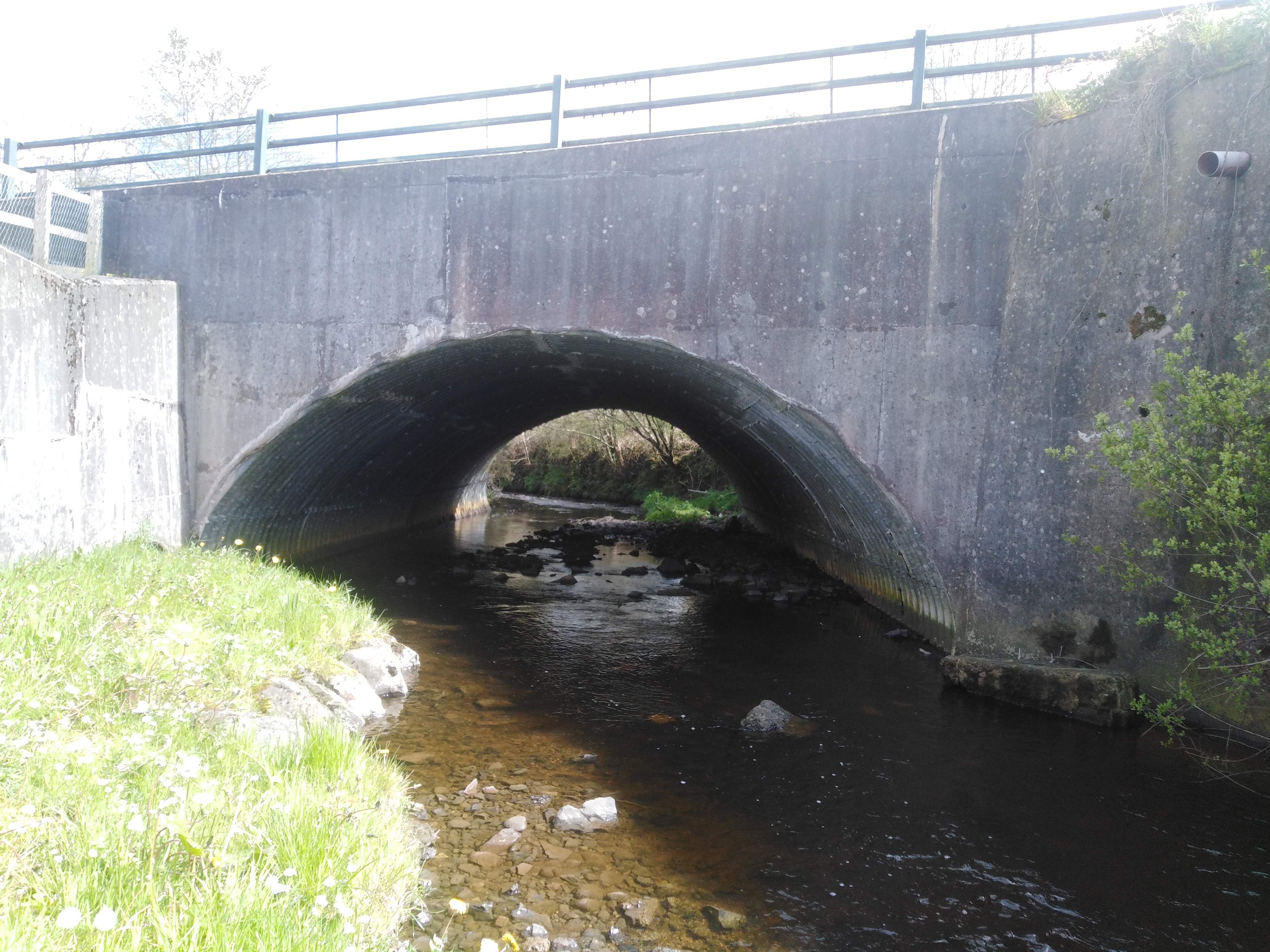
Ballymacilcurr is a townland lying within the civil parish of Maghera, County Londonderry, Northern Ireland. It lies in the west of the parish, and is bounded on the north by the Grillagh river. It is also bounded by the townlands of Crew, Culnady, Grillagh, Macknagh, Tamnymullan, and Tirgarvil. It was not apportioned to any of the London livery companies, being kept as churchlands. The townland in 1926 was part of the Upperland district electoral division as part of the Maghera dispensary (registrar's) district of Magherafelt Rural District. As part of Maghera civil parish, Ballymacilcurr also lies within the historic barony of Loughinsholin. See also *Maghera Maghera (pronounced , ) is a small town at the foot of the Glenshane Pass in County Londonderry, Northern Ireland. Its population was 4,220 in the 2011 Census, increasing from 3,711 in the 2001 Census. It is situated within Mid-Ulster Distri ... References Townlands of County Londonderry Civil parish of ... [...More Info...] [...Related Items...] OR: [Wikipedia] [Google] [Baidu] |
Maghera (civil Parish)
Maghera () is a parish in County Londonderry, Northern Ireland. It is bordered by the parishes of Ballynascreen, Ballyscullion, Desertmartin, Dungiven, Kilcronaghan, Killelagh, Magherafelt, Tamlaght O'Crilly, and Termoneeny. As a civil parish it lies within the former barony of Loughinsholin and as an ecclesiastical parish it lies within the Church of Ireland Diocese of Derry and Raphoe. Name The name Maghera is derived from the Irish ''Machaire Rátha'' meaning "plain of the fort", however this is itself derived from the older name for the parish, ''Ráth Lúraigh'', meaning " Lúrach's fort". One manuscript states that Lúrach was from ''Ráith'', which is given as possibly being an even earlier name for the parish before Lúrach's name was suffixed to it. History Lúrach mac Cuanach is the 6th-century patron of the eccesliastical parish, with the local parish church, St. Lurachs, named after him. Lúrach's family held a degree of political importance in the area, wit ... [...More Info...] [...Related Items...] OR: [Wikipedia] [Google] [Baidu] |
Crew, County Londonderry
Crew is a townland in the civil parish of Maghera, County Londonderry, Northern Ireland. It is in the east-centre of the parish on the north boundary of the civil parish of Termoneeny, and is bounded by the townlands of Ballymacilcurr, Culnady, Curragh, Moneymore Moneymore () is a village and townland in County Londonderry, Northern Ireland. It had a population of 1,897 in the 2011 Census. It is situated within Mid-Ulster District. It is an example of a plantation village in Mid-Ulster built by the Drap ..., Mullagh, Tamnymartin, and Tamnymullan. It was not apportioned to any of the London livery companies, being kept as church lands.''Notes on the Place Names of the Parishes and Townlands of the County of Londonderry'', 1925, Alfred Moore Munn, Clerk of the Crown and Peace of the City and County of Londonderry References Townlands of County Londonderry Civil parish of Maghera {{Londonderry-geo-stub ... [...More Info...] [...Related Items...] OR: [Wikipedia] [Google] [Baidu] |
Culnady (townland)
Culnady () is a townland lying within the civil parish of Maghera, County Londonderry, Northern Ireland. It lies in the north-east of the parish and is bounded in the north-east by the Grillagh river. It is also bounded by the townlands of Ballymacilcurr, Crew, Curragh, Drummuck, Tirgarvil, and Tirnageeragh. It was apportioned to the Vintners company and Crown freeholds. The townland in 1926 was part of Upperland district electoral division of Magherafelt Rural District. As part of Maghera civil parish, Culnady also lies within the historic barony of Loughinsholin. See also *Maghera Maghera (pronounced , ) is a small town at the foot of the Glenshane Pass in County Londonderry, Northern Ireland. Its population was 4,220 in the 2011 Census, increasing from 3,711 in the 2001 Census. It is situated within Mid-Ulster Distri ... References Townlands of County Londonderry Civil parish of Maghera {{Londonderry-geo-stub ... [...More Info...] [...Related Items...] OR: [Wikipedia] [Google] [Baidu] |
County Londonderry
County Londonderry (Ulster-Scots: ''Coontie Lunnonderrie''), also known as County Derry ( ga, Contae Dhoire), is one of the six counties of Northern Ireland, one of the thirty two counties of Ireland and one of the nine counties of Ulster. Before the partition of Ireland, it was one of the counties of the Kingdom of Ireland from 1613 onward and then of the United Kingdom after the Acts of Union 1800. Adjoining the north-west shore of Lough Neagh, the county covers an area of and today has a population of about 247,132. Since 1972, the counties in Northern Ireland, including Londonderry, have no longer been used by the state as part of the local administration. Following further reforms in 2015, the area is now governed under three different districts; Derry and Strabane, Causeway Coast and Glens and Mid-Ulster. Despite no longer being used for local government and administrative purposes, it is sometimes used in a cultural context in All-Ireland sporting and cult ... [...More Info...] [...Related Items...] OR: [Wikipedia] [Google] [Baidu] |
Townland
A townland ( ga, baile fearainn; Ulster-Scots: ''toonlann'') is a small geographical division of land, historically and currently used in Ireland and in the Western Isles in Scotland, typically covering . The townland system is of Gaelic origin, pre-dating the Norman invasion, and most have names of Irish origin. However, some townland names and boundaries come from Norman manors, plantation divisions, or later creations of the Ordnance Survey.Connolly, S. J., ''The Oxford Companion to Irish History, page 577. Oxford University Press, 2002. ''Maxwell, Ian, ''How to Trace Your Irish Ancestors'', page 16. howtobooks, 2009. The total number of inhabited townlands in Ireland was 60,679 in 1911. The total number recognised by the Irish Place Names database as of 2014 was 61,098, including uninhabited townlands, mainly small islands. Background In Ireland a townland is generally the smallest administrative division of land, though a few large townlands are further divided into ... [...More Info...] [...Related Items...] OR: [Wikipedia] [Google] [Baidu] |
Civil Parishes In Ireland
Civil parishes () are units of territory in the island of Ireland that have their origins in old Gaelic territorial divisions. They were adopted by the Anglo-Norman Lordship of Ireland and then by the Elizabethan Kingdom of Ireland, and were formalised as land divisions at the time of the Plantations of Ireland. They no longer correspond to the boundaries of Roman Catholic or Church of Ireland parishes, which are generally larger. Their use as administrative units was gradually replaced by Poor Law Divisions in the 19th century, although they were not formally abolished. Today they are still sometimes used for legal purposes, such as to locate property in deeds of property registered between 1833 and 1946. Origins The Irish parish was based on the Gaelic territorial unit called a '' túath'' or '' Trícha cét''. Following the Norman invasion of Ireland, the Anglo-Norman barons retained the ''tuath'', later renamed a parish or manor, as a unit of taxation. The civil parish ... [...More Info...] [...Related Items...] OR: [Wikipedia] [Google] [Baidu] |
Northern Ireland
Northern Ireland ( ga, Tuaisceart Éireann ; sco, label=Ulster-Scots, Norlin Airlann) is a part of the United Kingdom, situated in the north-east of the island of Ireland, that is variously described as a country, province or region. Northern Ireland shares an open border to the south and west with the Republic of Ireland. In 2021, its population was 1,903,100, making up about 27% of Ireland's population and about 3% of the UK's population. The Northern Ireland Assembly (colloquially referred to as Stormont after its location), established by the Northern Ireland Act 1998, holds responsibility for a range of devolved policy matters, while other areas are reserved for the UK Government. Northern Ireland cooperates with the Republic of Ireland in several areas. Northern Ireland was created in May 1921, when Ireland was partitioned by the Government of Ireland Act 1920, creating a devolved government for the six northeastern counties. As was intended, Northern Irela ... [...More Info...] [...Related Items...] OR: [Wikipedia] [Google] [Baidu] |
District Electoral Division
An electoral division (ED, ) is a legally defined administrative area in the Republic of Ireland, generally comprising multiple townlands, and formerly a subdivision of urban and rural districts. Until 1996, EDs were known as district electoral divisions (DEDs, ) in the 29 county council areas and wards in the five county boroughs. Until 1972, DEDs also existed in Northern Ireland. The predecessor poor law electoral divisions were introduced throughout the island of Ireland in the 1830s. The divisions were used as local-government electoral areas until 1919 in what is now the Republic and until 1972 in Northern Ireland. History until partition Electoral divisions originated under the Poor Relief (Ireland) Act 1838 as "poor law electoral divisions": electoral divisions of a poor law union (PLU) returning one or more members to the PLU's board of guardians. The boundaries of these were drawn by Poor Law Commissioners, with the intention of producing areas roughly equivalent in ... [...More Info...] [...Related Items...] OR: [Wikipedia] [Google] [Baidu] |
Maghera
Maghera (pronounced , ) is a small town at the foot of the Glenshane Pass in County Londonderry, Northern Ireland. Its population was 4,220 in the 2011 Census, increasing from 3,711 in the 2001 Census. It is situated within Mid-Ulster District, as well as the civil parish of Maghera, which it was named after, and the former barony of Loughinsholin. History The town dates back at least to the 6th century to the monastery founded by Saint Lurach whose family were possibly evangelised by Saint Patrick. The ''Annals of Ulster'' say that the seat of the Cenél nEoghain was at Ráth Luraig in Maghera. Standing upon the site of the monastery, the present day ruins of St. Lurach's Church date back to the 10th century. They include, over a doorway, a relief of the crucifixion, possibly the oldest in Ireland. The crucification lintel is reproduced in the contemporary Catholic church, St Mary's. The old church and town were burned in the 12th century. Afterwards, Maghera became the ... [...More Info...] [...Related Items...] OR: [Wikipedia] [Google] [Baidu] |
Magherafelt
Magherafelt (, �mˠaxəɾʲəˈfʲiːlt̪ˠə is a small town and civil parish in County Londonderry, Northern Ireland. It had a population of 8,805 at the 2011 Census. It is the biggest town in the south of the county and is the social, economic and political hub of the area. It is part of Mid-Ulster District. History Magherafelt has been documented as a town since 1425. An earlier name for the area was ''Teach Fíolta'' - ‘Fíolta’s (monastic) house’. This would suggest that there was a monastic settlement here under the leadership of Fíolta. The site of the medieval parish church may be marked by the ruins of a later church and graveyard at the bottom of Broad Street. The Salters Company of London was granted the surrounding lands in South Londonderry in the seventeenth century as part of the Plantation of Ulster. Subsequently, the town began to take on its current shape with a central diamond forming the heart of the town. During The Troubles in the late 20th c ... [...More Info...] [...Related Items...] OR: [Wikipedia] [Google] [Baidu] |


