|
Baking Pot
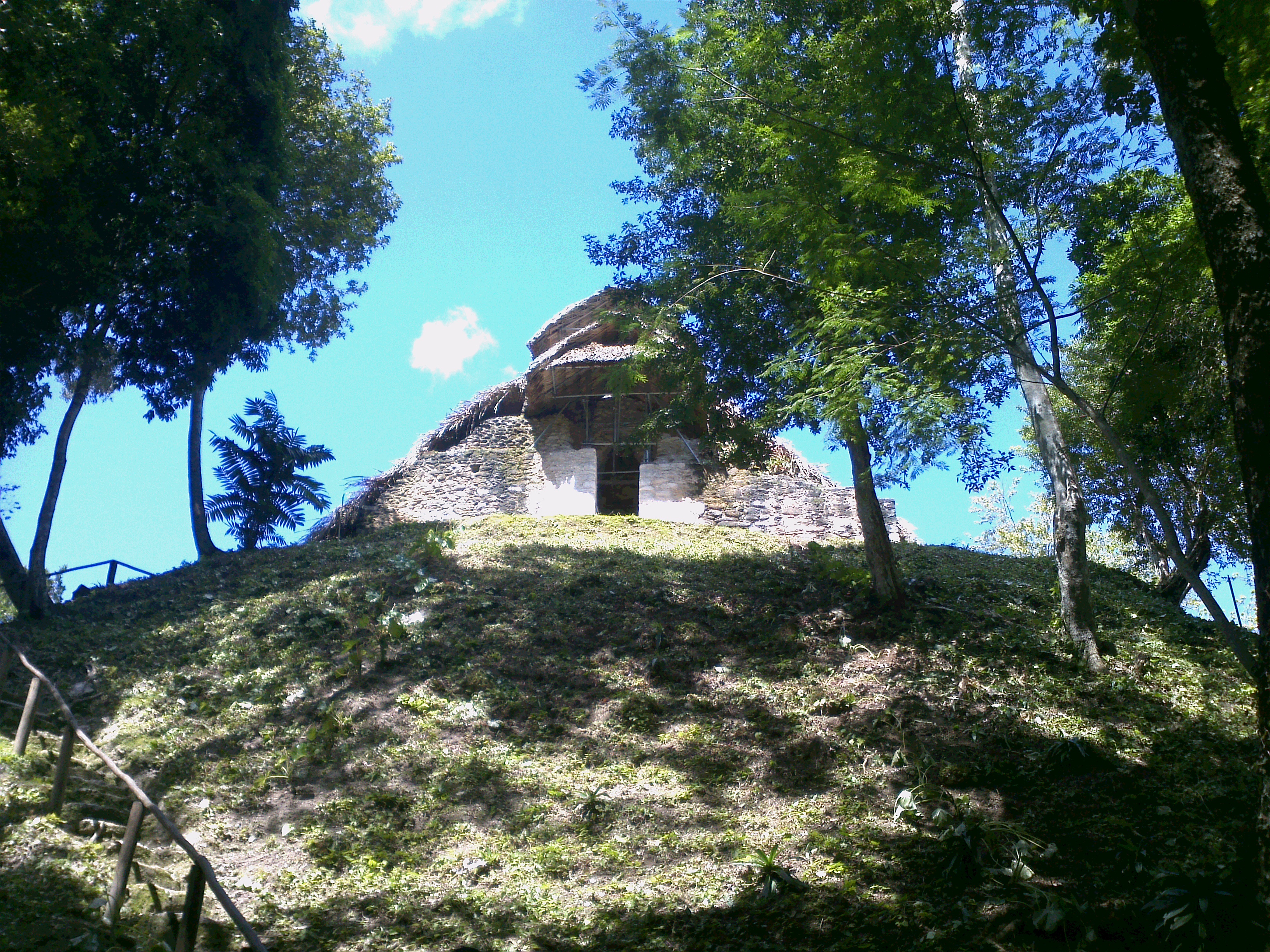
Baking Pot is a Maya archaeological site located in the Belize River Valley on the southern bank of the river, northeast of modern-day town of San Ignacio in the Cayo District of Belize; it is downstream from the Barton Ramie and Lower Dover archaeological sites. Baking Pot is associated with an extensive amount of research into Maya settlements, community-based archaeology, and of agricultural production; the site possesses lithic workshops, and possible evidence of cash-cropping cacaoWilley, G. R., Bullard, W. R., Glass, J. B., Gifford, J. C., & Elliot, O. (1965). Prehistoric Maya settlements in the Belize Valley. Cambridge, Mass: Peabody Museum. as well as a long occupation from the Preclassic through to the Postclassic period. The site at Baking Pot is unique in that it had a large population during the Terminal Classic while other sites in the Belize River Valley were declining, and occupation continued into the Postclassic whereas major Classic Period sites in the ... [...More Info...] [...Related Items...] OR: [Wikipedia] [Google] [Baidu] |
San Ignacio, Belize
San Ignacio and Santa Elena are towns in western Belize. San Ignacio serves as the cultural-economic hub of Cayo District. It got its start from mahogany and chicle production during British colonisation. Over time it attracted people from the surrounding areas, which led to the diverse population of the town today. San Ignacio is the largest settlement in Cayo District and the second largest in the country, after Belize City. History The town was originally named El Cayo by the Spanish. On 19 October 1904, El Cayo was officially declared a town by the government of British Honduras. In the past a creek ran between the Macal and the Mopan rivers one mile outside of San Ignacio going toward Benque Viejo. This creek then fulfilled the definition of an area of land completely surrounded by water and thus the name Cayo, "island". There was a large wooden bridge across this creek in the late 1940s, but since the creek eventually dried up, the area was filled with limestone gravel and ... [...More Info...] [...Related Items...] OR: [Wikipedia] [Google] [Baidu] |
Sacbe
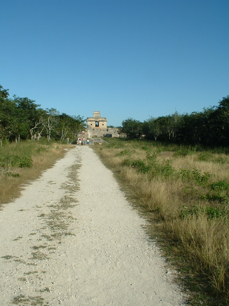
A sacbe, plural sacbeob (Yucatec Maya: singular ''sakbej'', plural ''sakbejo'ob''), or "white road", is a raised paved road built by the Maya civilization of pre-Columbian Mesoamerica. Most connect temples, plazas, and groups of structures within ceremonial centers or cities, but some longer roads between cities are also known. The term "sacbe" is Yucatec Maya language, Yucatec Maya for "white road"; white perhaps because there is evidence that they were originally coated with limestone stucco or plaster, which was over a stone and rubble fill.Roys and Shook 1966, 43 Although great progress has been made on determining the roles of sacbeob in Maya society, the decision to construct sacbeob as opposed to smaller, less complicated paths is puzzling to experts. Without a profound reliance on beasts of burden to transport goods, it remains partially unclear why the Maya decided to expend so much labor constructing these impressive roads. However, it remains a very plausible theory tha ... [...More Info...] [...Related Items...] OR: [Wikipedia] [Google] [Baidu] |
Newsweek
''Newsweek'' is an American weekly news magazine based in New York City. Founded as a weekly print magazine in 1933, it was widely distributed during the 20th century and has had many notable editors-in-chief. It is currently co-owned by Dev Pragad, the president and chief executive officer (CEO), and Johnathan Davis, who sits on the board; each owns 50% of the company. In August 2010, revenue decline prompted Graham Holdings, the Washington Post Company to sell ''Newsweek'' to the audio pioneer Sidney Harman for one US dollar and an assumption of the magazine's liabilities. Later that year, ''Newsweek'' merged with the news and opinion website ''The Daily Beast'', forming The Newsweek Daily Beast Company, later called ''NewsBeast''. ''Newsweek'' was jointly owned by the estate of Harman and the company IAC (company), IAC. ''Newsweek'' continued to experience financial difficulties, leading to the suspension of print publication at the end of 2012. In 2013, IBT Media acquired ... [...More Info...] [...Related Items...] OR: [Wikipedia] [Google] [Baidu] |
Yaxha
Yaxha (or Yaxhá in Spanish orthography) is a Mesoamerican archaeological site in the northeast of the Petén Basin in modern-day Guatemala. As a ceremonial centre of the pre-Columbian Maya civilization, Yaxha was the third largest city in the region and experienced its maximum power during the Early Classic period (c. AD 250–600). The city was located on a ridge overlooking Lake Yaxha. The name of the city derives from the Mayan for "blue-green water"; it is a notable survival of a Classic period place-name into the modern day. The Yaxha kingdom is estimated to have covered an area of and to have had a peak population of 42,000 in the Late Classic period of Mesoamerican chronology. Yaxha had a long history of occupation with the first settlement being founded sometime in the Middle Preclassic period (c. 1000–350 BC). It developed into the largest city in the eastern Petén lakes region during the Late Preclassic (c. 350 BC – AD 250) and expanded into an enormous city durin ... [...More Info...] [...Related Items...] OR: [Wikipedia] [Google] [Baidu] |
Maya Script
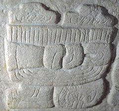
Maya script, also known as Maya glyphs, is historically the native writing system of the Maya civilization of Mesoamerica and is the only Mesoamerican writing system that has been substantially deciphered. The earliest inscriptions found which are identifiably Maya date to the 3rd century BCE in San Bartolo, Guatemala. Maya writing was in continuous use throughout Mesoamerica until the Spanish conquest of the Maya in the 16th and 17th centuries. Though modern Mayan languages are almost entirely written using the Latin alphabet rather than Maya script, there have been recent developments encouraging a revival of the Maya glyph system. Maya writing used logograms complemented with a set of syllabic glyphs, somewhat similar in function to modern Japanese writing. Maya writing was called "hieroglyphics" or hieroglyphs by early European explorers of the 18th and 19th centuries who found its general appearance reminiscent of Egyptian hieroglyphs, although the two systems are unre ... [...More Info...] [...Related Items...] OR: [Wikipedia] [Google] [Baidu] |
Komkom Vase
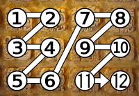
The Komkom Vase is an ancient painted Maya vase featuring one of the longest hieroglyphic texts found in the Maya Lowlands. It was discovered in 2015 at the Maya archaeological site of Baking Pot in Belize and dates back to the Terminal Classic period in Maya history. It is notable for being written during the last decades of centralized rule in the Lowlands and was most likely used as a drinking vessel by a ruler of Komkom, an ancient Maya kingdom that has not yet been located. Discovery Archaeologists from the Belize Valley Archaeological Reconnaissance project discovered the first sherds of the Komkom Vase at Baking Pot on July 7, 2015. It was pieced together from 82 fragments found at the site, reconstructing roughly 60% of the original vessel. Description The vase is a cylindrical ceramic vessel that was most likely about 21.7 cm (8.5 in) tall in its original form. Although it is fragmented and incomplete, measurements of its interior have been used to estimat ... [...More Info...] [...Related Items...] OR: [Wikipedia] [Google] [Baidu] |
Tikal
Tikal (; ''Tik'al'' in modern Mayan orthography) is the ruin of an ancient city, which was likely to have been called Yax Mutal, found in a rainforest in Guatemala. It is one of the largest archaeological sites and urban centers of the Pre-Columbian era, pre-Columbian Maya civilization. It is located in the archaeological region of the Petén Basin in what is now northern Guatemala. Situated in Petén Department, the site is part of Guatemala's Tikal National Park and in 1979 it was declared a UNESCO World Heritage Site. Tikal was the capital of a state that became one of the most powerful kingdoms of the ancient Maya. Though monumental architecture at the site dates back as far as the 4th century BC, Tikal reached its apogee during the Mesoamerican chronology, Classic Period, c. 200 to 900. During this time, the Maya city, city dominated much of the Maya region politically, economically, and militarily, while interacting with areas throughout Mesoamerica such as the great metr ... [...More Info...] [...Related Items...] OR: [Wikipedia] [Google] [Baidu] |
Naranjo
Naranjo (Wak Kab'nal in Mayan) is a Pre-Columbian Maya city in the Petén Basin region of Guatemala. It was occupied from about 500 BC to 950 AD, with its height in the Late Classic Period. The site is part of Yaxha-Nakum-Naranjo National Park. The city lies along the Mopan and Holmul rivers, and is about 50 km east of the site of Tikal. Naranjo has been the victim of severe looting. The site is known for its polychrome ceramic style. "Naranjo" in Spanish means "orange tree", which is a Spanish translation of the Mayan name Wak Kab'nal. The emblem glyph of the Naranjo is transliterated as Sa'aal “the place where (maize) gruel abounds.” The Naranjo dynastic rulers are said to be the "Holy Lords of Sa'aal." Layout of site The area of Naranjo covers at least 8 km2 with the urban center covering about 2.25 km2. There are currently 389 recorded buildings in the central area and over 900 around the center. The epicenter consists of six triadic complexes, two b ... [...More Info...] [...Related Items...] OR: [Wikipedia] [Google] [Baidu] |
Cahal Pech
Cahal Pech is a Maya site located near the town of San Ignacio in the Cayo District of Belize. The site was a palatial, hilltop home for an elite Maya family, and though the most major construction dates to the Classic period, evidence of continuous habitation has been dated to as far back as 1200 BCE during the Early Middle Formative period (Early Middle Preclassic), making Cahal Pech one of the oldest recognizably Maya sites in Western Belize. Location The site rests high above the banks of the Macal River and is strategically located to overlook the confluence of the Macal River and the Mopan River. The site is a collection of 34 structures, with the tallest temple being about 25 meters in height, situated around a central acropolis. The site was abandoned in the 9th century CE for unknown reasons. Archaeology The earliest pottery in western Belize is found here. "Emerging information from western Belize suggests that ceramic-using populations may have been in place as e ... [...More Info...] [...Related Items...] OR: [Wikipedia] [Google] [Baidu] |
Caracol
Caracol is a large ancient Maya archaeological site, located in what is now the Cayo District of Belize. It is situated approximately south of Xunantunich, and the town of San Ignacio, and from the Macal River. It rests on the Vaca Plateau, at an elevation of above sea-level, in the foothills of the Maya Mountains.Arlen Chase and Diane Chase, 1987 Investigations at the Classic Maya City of Caracol, Belize: 1985–1987. Pre-Columbian Art Research Institute, San Francisco. Long thought to be a tertiary center, it is now known that the site was one of the most important regional political centers of the Maya Lowlands during the Classic Period. Caracol covered approximately ,Arlen Chase and Diane Chase 2009 Interpreting the Maya "Collapse": Continued Investigation of Residential Complexes in and near Caracol's Epicenter: 2009 Field Report of the Caracol Archaeological Project. http://caracol.org/reports/2009.php , accessed November 20, 2011 covering an area much larger than ... [...More Info...] [...Related Items...] OR: [Wikipedia] [Google] [Baidu] |
Maya Stelae
Maya stelae (singular ''stela'') are monuments that were fashioned by the Maya civilization of ancient Mesoamerica. They consist of tall, sculpted stone shafts and are often associated with low circular stones referred to as altars, although their actual function is uncertain. Many stele, stelae were sculpted in low relief, although plain monuments are found throughout the Maya region. The sculpting of these monuments spread throughout the Maya area during the Mesoamerican chronology#Classic Era, Classic Period (250-900 AD), and these pairings of sculpted stelae and circular altars are considered a hallmark of Classic Maya civilization. The earliest dated stela to have been found ''in situ'' in the Maya lowlands was recovered from the great city of Tikal in Guatemala. During the Classic Period almost every Maya kingdom in the southern lowlands raised stelae in its ceremonial centre. Stelae became closely associated with the concept of Imperial cult, divine kingship and declined at ... [...More Info...] [...Related Items...] OR: [Wikipedia] [Google] [Baidu] |


