|
Bailiff Bridge Railway Station
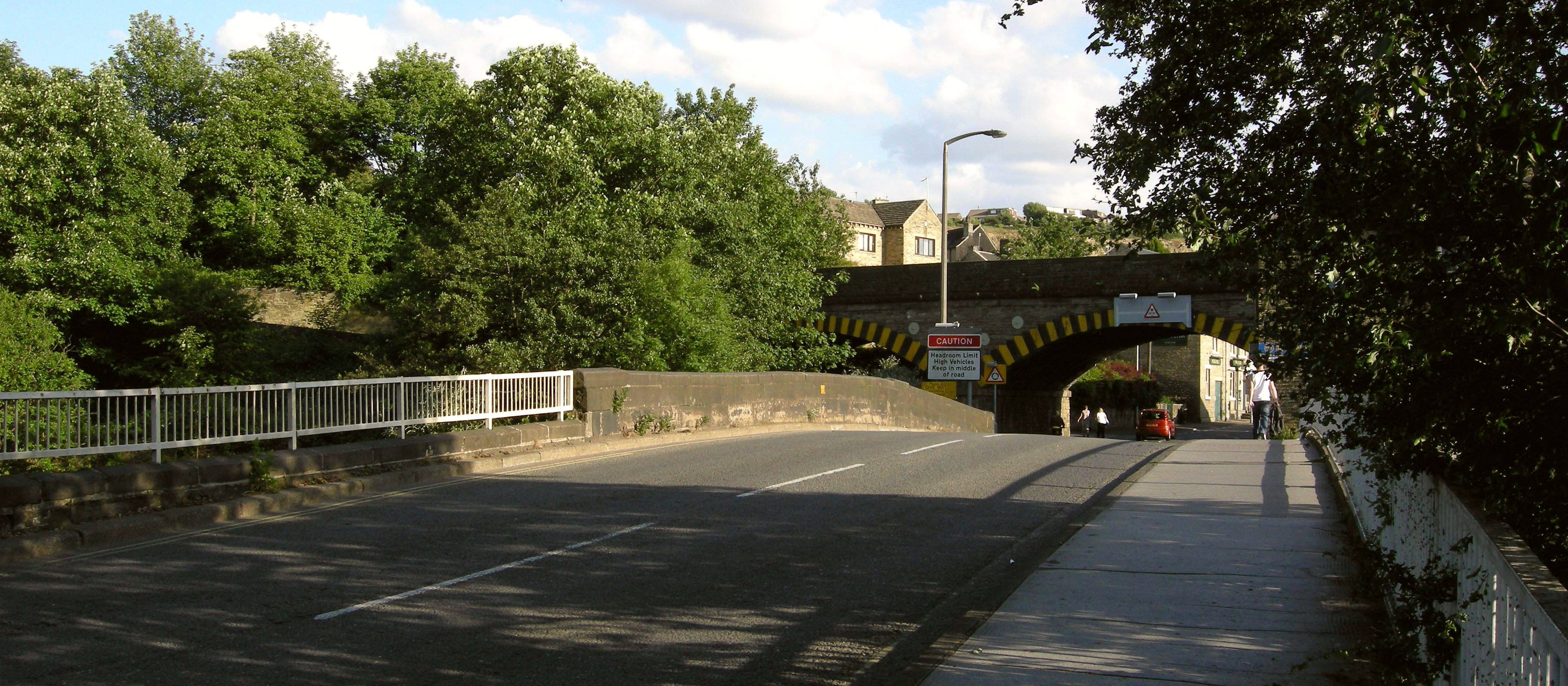
Bailiff Bridge railway station was built by the Lancashire and Yorkshire Railway to serve the village of Bailiff Bridge north of Brighouse in West Yorkshire, England. History Opened by the Lancashire and Yorkshire Railway, the station was then closed during the First World War World War I or the First World War (28 July 1914 – 11 November 1918), also known as the Great War, was a World war, global conflict between two coalitions: the Allies of World War I, Allies (or Entente) and the Central Powers. Fighting to ... as an economy measure. The route continued in use until mining subsidence caused the closure of the line in 1952. References External linksBailiff Bridge station on navigable O.S. map [...More Info...] [...Related Items...] OR: [Wikipedia] [Google] [Baidu] |
Brighouse
Brighouse (, locally also ) is a town within the metropolitan borough of Calderdale, in West Yorkshire, England. Historic counties of England, Historically within the West Riding of Yorkshire, it is situated on the River Calder, West Yorkshire, River Calder, east of Halifax, West Yorkshire, Halifax. It is served by Junction 25 of the M62 motorway and Brighouse railway station on the Caldervale Line and Huddersfield Line. In the town centre is a mooring basin on the Calder and Hebble Navigation. The United Kingdom Census 2001 gave the Brighouse / Rastrick subdivision of the West Yorkshire Urban Area a population of 32,360. The Brighouse ward of Calderdale Council gave a population of 11,195 at the 2011 Census. Brighouse has an HD6 postcode, despite being associated with Halifax for local government. The name Brighouse (or "Bridge House") originates from a building on (or close to) the bridge over the River Calder. In its early history, it was a hamlet (place), hamlet ... [...More Info...] [...Related Items...] OR: [Wikipedia] [Google] [Baidu] |
Calderdale
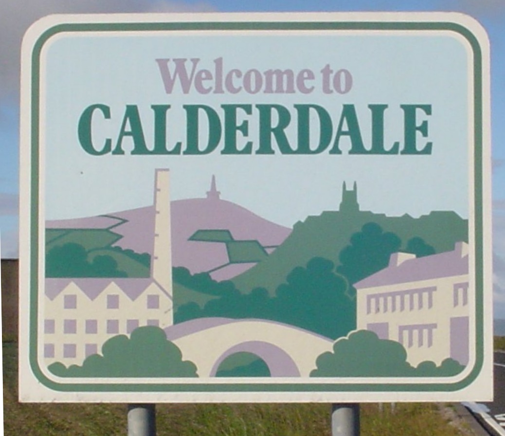
Calderdale () is a metropolitan borough of West Yorkshire, England, which had a population of 211,439. It takes its name from the River Calder, and dale, a word for valley. The name Calderdale usually refers to the borough through which the upper river flows, while the actual landform is known as the Calder Valley. Several small valleys contain tributaries of the River Calder. The main towns of the borough are Brighouse, Elland, Halifax, Hebden Bridge, Sowerby Bridge and Todmorden. Calderdale covers part of the South Pennines, and the Calder Valley is the southernmost of the Yorkshire Dales, though it is not part of the Yorkshire Dales National Park. The borough was formed in 1974 by the merger of nine local government districts. Halifax is the commercial, cultural and administrative centre of the borough. Calderdale is served by Calderdale Council, which is headquartered in Halifax, with some functions based in Todmorden. History The Roman settlement of Cambo ... [...More Info...] [...Related Items...] OR: [Wikipedia] [Google] [Baidu] |
Ordnance Survey National Grid
The Ordnance Survey National Grid reference system (OSGB), also known as British National Grid (BNG), is a system of geographic grid references, distinct from latitude and longitude, whereby any location in Great Britain can be described in terms of its distance from the origin (0, 0), which lies to the west of the Isles of Scilly. The Ordnance Survey (OS) devised the national grid reference system, and it is heavily used in its survey data, and in maps based on those surveys, whether published by the Ordnance Survey or by commercial map producers. Grid references are also commonly quoted in other publications and data sources, such as guide books and government planning documents. A number of different systems exist that can provide grid references for locations within the British Isles: this article describes the system created solely for Great Britain and its outlying islands (including the Isle of Man). The Irish grid reference system is a similar system created by the ... [...More Info...] [...Related Items...] OR: [Wikipedia] [Google] [Baidu] |
Lancashire And Yorkshire Railway
The Lancashire and Yorkshire Railway (L&YR) was a major History of rail transport in Great Britain, British railway company before the Railways Act 1921, 1923 Grouping. It was Incorporation (business)#Incorporation in the United Kingdom, incorporated in 1847 from an amalgamation of several existing railways. It was the third-largest railway system based in northern England (after the Midland Railway, Midland and North Eastern Railway (United Kingdom), North Eastern Railways). The intensity of its service was reflected in the 1,650 steam locomotive, locomotives it owned – it was by far the most densely-trafficked system in the British Isles with more locomotives per mile than any other company – and that one third of its 738 signal boxes controlled junctions averaging one every . No two adjacent stations were more than apart and its 1,904 passenger services occupied 57 pages in ''George Bradshaw#Bradshaw.27s railway timetables, Bradshaw'', a number exceed ... [...More Info...] [...Related Items...] OR: [Wikipedia] [Google] [Baidu] |
Railway Station
Rail transport (also known as train transport) is a means of transport using wheeled vehicles running in railway track, tracks, which usually consist of two parallel steel railway track, rails. Rail transport is one of the two primary means of land transport, next to road transport. It is used for about 8% of passenger and rail freight transport, freight transport globally, thanks to its Energy efficiency in transport, energy efficiency and potentially high-speed rail, high speed.Rolling stock on rails generally encounters lower friction, frictional resistance than rubber-tyred road vehicles, allowing rail cars to be coupled into longer trains. Power is usually provided by Diesel locomotive, diesel or Electric locomotive, electric locomotives. While railway transport is capital intensity, capital-intensive and less flexible than road transport, it can carry heavy loads of passengers and cargo with greater energy efficiency and safety. Precursors of railways driven by human or an ... [...More Info...] [...Related Items...] OR: [Wikipedia] [Google] [Baidu] |
Bailiff Bridge
Bailiff Bridge is a village north from Brighouse, West Yorkshire, England, and is from Huddersfield and from Bradford Bradford is a city status in the United Kingdom, city in West Yorkshire, England. It became a municipal borough in 1847, received a city charter in 1897 and, since the Local Government Act 1972, 1974 reform, the city status in the United Kingdo .... Bailiff Bridge falls within the Hipperholme and Lightcliffe Ward of Calderdale Council. The village is centred on the A649 and A641 roads which connect it to nearby towns and cities. History The village was served by Bailiff Bridge railway station on the Pickle Bridge Line between 1881 and 1917. One of the main employers in the village was Firth's carpets. Notable residents from the village are Danny and Richard McNamara from the band Embrace, who grew up in the village. See also * Listed buildings in Hipperholme and Lightcliffe References External links Geography of Calderdale Villages in West ... [...More Info...] [...Related Items...] OR: [Wikipedia] [Google] [Baidu] |
West Yorkshire
West Yorkshire is a Metropolitan counties of England, metropolitan and Ceremonial counties of England, ceremonial county in the Yorkshire and the Humber region of England. It borders North Yorkshire to the north and east, South Yorkshire and Derbyshire to the south, Greater Manchester to the south-west, and Lancashire to the west. The city of Leeds is the largest settlement. The county has an area of and a population of 2.3 million, making it the fourth-largest ceremonial county by population. The centre of the county is urbanised, and contains the city of Leeds in the north-east, the city of Bradford in the north-west, Huddersfield in the south-west, and Wakefield in the south-east. The outer areas of the county are rural. For local government purposes the county comprises five metropolitan boroughs: City of Bradford, Bradford, Calderdale, Kirklees, City of Leeds, Leeds, and City of Wakefield, Wakefield, which collaborate through West Yorkshire Combined Authority. The cou ... [...More Info...] [...Related Items...] OR: [Wikipedia] [Google] [Baidu] |
First World War
World War I or the First World War (28 July 1914 – 11 November 1918), also known as the Great War, was a World war, global conflict between two coalitions: the Allies of World War I, Allies (or Entente) and the Central Powers. Fighting took place mainly in European theatre of World War I, Europe and the Middle Eastern theatre of World War I, Middle East, as well as in parts of African theatre of World War I, Africa and the Asian and Pacific theatre of World War I, Asia-Pacific, and in Europe was characterised by trench warfare; the widespread use of Artillery of World War I, artillery, machine guns, and Chemical weapons in World War I, chemical weapons (gas); and the introductions of Tanks in World War I, tanks and Aviation in World War I, aircraft. World War I was one of the List of wars by death toll, deadliest conflicts in history, resulting in an estimated World War I casualties, 10 million military dead and more than 20 million wounded, plus some 10 million civilian de ... [...More Info...] [...Related Items...] OR: [Wikipedia] [Google] [Baidu] |
Wyke And Norwood Green Railway Station
Wyke and Norwood Green railway station served the villages of Wyke and Norwood Green in West Yorkshire, England. History Originally situated a little to the south west and named ''Pickle Bridge'', it was opened in 1850, renamed ''Wyke'' in 1852 and moved to the final location in 1896. It was closed to passengers by the British Transport Commission on 21 September 1953. A grade II listed building, called Junction House, still exists on the site and is used as a private house. According to Historic England Historic England (officially the Historic Buildings and Monuments Commission for England) is an executive non-departmental public body of the British Government sponsored by the Department for Culture, Media and Sport. It is tasked with prot ... it was a signalman's cottage and may have been part of the original station. References * External links Wyke and Norwood Green station on navigable 1947 O. S. map Disused railway stations in Bradford Former Lancashir ... [...More Info...] [...Related Items...] OR: [Wikipedia] [Google] [Baidu] |
Clifton Road Railway Station
Clifton Road was a railway station built by the Lancashire and Yorkshire Railway to serve the village of Clifton north east of Brighouse in West Yorkshire, England. History Opened by the Lancashire and Yorkshire Railway The Lancashire and Yorkshire Railway (L&YR) was a major History of rail transport in Great Britain, British railway company before the Railways Act 1921, 1923 Grouping. It was Incorporation (business)#Incorporation in the United Kingdom, incorpo ... in 1881 and closed in 1931. The line continued in use until subsidence caused the closure of the line in 1952. References * Disused railway stations in Calderdale Former Lancashire and Yorkshire Railway stations Railway stations in Great Britain opened in 1881 Railway stations in Great Britain closed in 1931 1881 establishments in England {{Yorkshire-Humber-railstation-stub ... [...More Info...] [...Related Items...] OR: [Wikipedia] [Google] [Baidu] |


