|
Baffin Island
Baffin Island (formerly Baffin Land), in the Canadian territory of Nunavut, is the largest island in Canada, the second-largest island in the Americas (behind Greenland), and the fifth-largest island in the world. Its area is (slightly smaller than Thailand) with a population density of 0.03/km2; the population was 13,039 according to the 2021 Canadian census; and it is located at . It also contains the city of Iqaluit (with a population of around 7,000), which is the capital of Nunavut. Name The Inuktitut name for the island is , which means "very big island" ( "island" + "very big") and in Inuktitut syllabics is written as . This name is used for the administrative region the island is part of ( Qikiqtaaluk Region), as well as in multiple places in Nunavut and the Northwest Territories, such as some smaller islands: Qikiqtaaluk in Baffin Bay and Qikiqtaaluk in Foxe Basin. Norse explorers are believed to have referred to it as ("stone land"). In 1576, English seaman ... [...More Info...] [...Related Items...] OR: [Wikipedia] [Google] [Baidu] |
Northern Canada
Northern Canada (), colloquially the North or the Territories, is the vast northernmost region of Canada, variously defined by geography and politics. Politically, the term refers to the three Provinces_and_territories_of_Canada#Territories, territories of Canada: Yukon, Northwest Territories and Nunavut. This area covers about 48 per cent of Canada's total land area, but has less than 0.5 per cent of demographics of Canada, Canada's population. The terms "northern Canada" or "the North" may be used in contrast with ''the far north'', which may refer to the Canadian Arctic, the portion of Canada that lies north of the Arctic Circle, east of Alaska and west of Greenland. However, in many other uses the two areas are treated as a single unit. Capitals The capital cities of the three northern territories, from west to east, are: * Yukon - Whitehorse * Northwest Territories - Yellowknife * Nunavut - Iqaluit Definitions Subdivisions As a social rather than political region, the C ... [...More Info...] [...Related Items...] OR: [Wikipedia] [Google] [Baidu] |
Inuktitut Syllabics
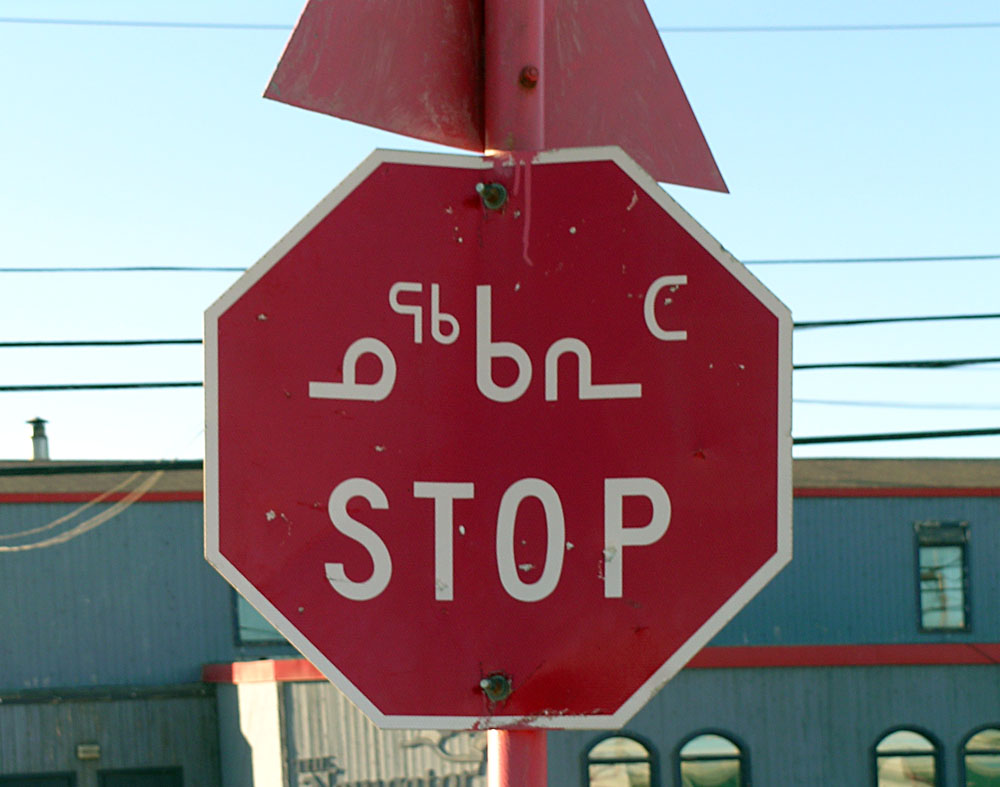
Inuktitut syllabics (, or , ) is an abugida-type writing system used in Canada by the Inuktitut-speaking Inuit of the Provinces and territories of Canada, territory of Nunavut and the Nunavik region of Quebec. In 1976, the Language Commission of the Inuit Cultural Institute made it the co-official script for the Inuit languages, along with the Latin script. The name derives from the root , meaning "mouth". The alternative, Latin-based writing system is named Inuit languages#Writing, (), and it derives from , a word describing the markings or the grain in rocks. meaning "new writing system" is to be seen in contrast to (), the "old syllabics" used before the reforms of 1976. Inuktitut is one variation on Canadian Aboriginal syllabics, and can be digitally encoded using the Unicode standard. The Unicode block for Inuktitut characters is called Unified Canadian Aboriginal Syllabics (Unicode block), Unified Canadian Aboriginal Syllabics. History The first efforts to write In ... [...More Info...] [...Related Items...] OR: [Wikipedia] [Google] [Baidu] |
Northwest Passage
The Northwest Passage (NWP) is the sea lane between the Atlantic and Pacific oceans through the Arctic Ocean, near the northern coast of North America via waterways through the Arctic Archipelago of Canada. The eastern route along the Arctic coasts of Norway and Siberia is accordingly called the Northeast Passage (NEP). The various islands of the archipelago are separated from one another and from mainland Canada by a series of Arctic waterways collectively known as the Northwest Passages, Northwestern Passages or the Canadian Internal Waters. For centuries, European explorers, beginning with Christopher Columbus in 1492, sought a navigable passage as a possible trade route to Asia, but were blocked by North, Central, and South America; by ice, or by rough waters (e.g. Tierra del Fuego). An ice-bound northern route was discovered in 1850 by the Irish explorer Robert McClure, whose expedition completed the passage by hauling sledges. Scotsman John Rae (explorer), John Rae explo ... [...More Info...] [...Related Items...] OR: [Wikipedia] [Google] [Baidu] |
William Baffin
William Baffin ( – 23 January 1622) was an English navigator, explorer and cartographer. He is best known for his attempt to find the Northwest Passage from the Atlantic to Pacific oceans, during which Baffin became the first European to discover a bay which was subsequently named in his honour. Baffin carried out numerous surveys of the Red Sea and Persian Gulf for the English East India Company. Life Nothing is known about Baffin's early life (an estimated year of birth, 1584, originated in the '' Encyclopædia Britannica'' in the 19th century, but without known documentary support). It has been conjectured that he was born to a humble station in London and gradually raised himself through his diligence and perseverance. In printing his journals, Samuel Purchas wrote of him as a "learned-unlearned Mariner and Mathematician... wanting art of words" who "really employed himself to those industries, whereof here you see so evident fruits." His earliest mention occurs in 1612 ... [...More Info...] [...Related Items...] OR: [Wikipedia] [Google] [Baidu] |
Frobisher Bay
Frobisher Bay is an inlet of the Davis Strait in the Qikiqtaaluk Region of Nunavut, Canada. It is located in the southeastern corner of Baffin Island. Its length is about and its width varies from about at its outlet into the Davis Strait to roughly towards its inner end. The capital of Nunavut, Iqaluit, known as Frobisher Bay from 1942 to 1987, lies near the innermost end of the bay. Geography Frobisher Bay has a tapered shape formed by two flanking peninsulas, the Hall Peninsula to the northeast, and the Meta Incognita Peninsula to the southwest. The Bay's funnel like shape ensures that the tidal variance at Iqaluit each day is about . This shape is due to the large outlet glacier centred over Foxe Basin during the Quaternary glaciation (Pleistocene), which gouged the Bay's basin, now flooded by the sea.Frobisher Bay< ... [...More Info...] [...Related Items...] OR: [Wikipedia] [Google] [Baidu] |
Martin Frobisher
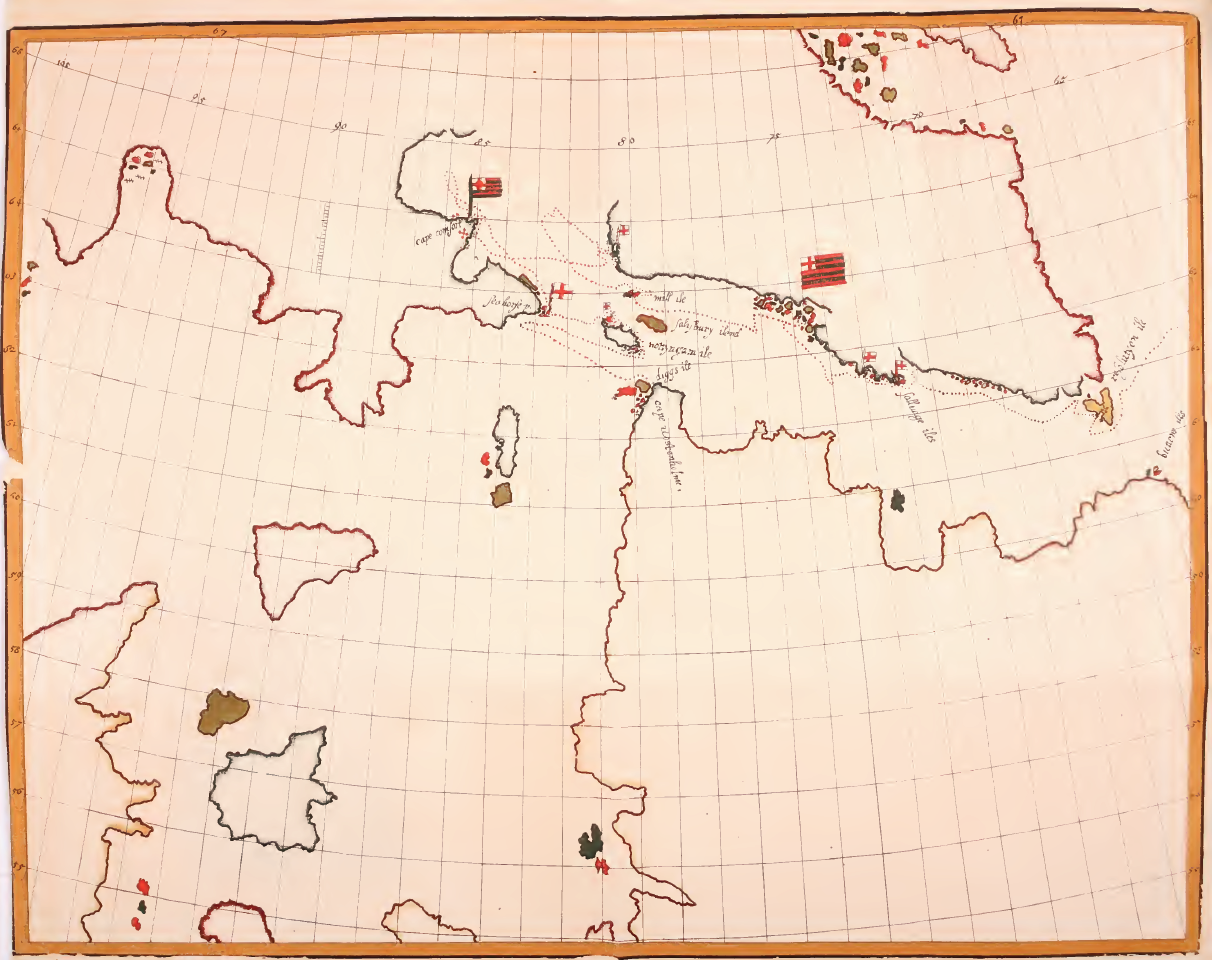
Sir Martin Frobisher (; – 22 November 1594) was an English sailor and privateer who made three voyages to the New World looking for the North-west Passage. He probably sighted Resolution Island near Labrador in north-eastern Canada, before entering Frobisher Bay and landing on present-day Baffin Island. On his second voyage, Frobisher found what he thought was gold ore and carried of it home on three ships, where initial assaying determined it to be worth a profit of £5.20 per ton (equivalent to £ per ton in ). Encouraged, Frobisher returned to Canada with an even larger fleet and dug several mines around Frobisher Bay. He carried 1,350 tons of the ore back to England, where, after years of smelting, it was realized that the ore was a worthless rock containing the mineral hornblende. As an English privateer, he plundered riches from French ships. He was later knighted for his service in repelling the Spanish Armada in 1588. Early life Martin Frobisher was probably born ... [...More Info...] [...Related Items...] OR: [Wikipedia] [Google] [Baidu] |
Helluland
Helluland () is the name given to one of the three lands, the others being Vinland and Markland, seen by Bjarni Herjólfsson, encountered by Leif Erikson and further explored by Thorfinn Karlsefni Thórdarson around AD 1000 on the North Atlantic coast of North America. As some writers refer to all land beyond Greenland as Vinland; Helluland is sometimes considered a part of Vinland. Etymology The name Helluland was given by Leif Erikson during his voyage to Vinland according to the Greenland Saga and means "Land of Flat Rocks/Stones" in Old Norse. According to the sagas Helluland was said to be the first of three lands in North America visited by Eriksson. He decided against trying to settle there because he found the land inhospitable. He continued south to '' Markland'' (probably Labrador) and ''Vinland'' (possibly Newfoundland). The Saga of Erik the Red, 1880 translation into English by J. Sephton from the original Icelandic 'Eiríks saga rauða'. "They sailed away from ... [...More Info...] [...Related Items...] OR: [Wikipedia] [Google] [Baidu] |
Foxe Basin
Foxe Basin is a shallow oceanic basin north of Hudson Bay, in Nunavut, Canada, located between Baffin Island and the Melville Peninsula. For most of the year, it is blocked by sea ice (fast ice) and drift ice made up of multiple ice floes. The nutrient-rich cold waters found in the basin are known to be especially favourable to phytoplankton and the numerous islands within it are important bird habitats, including Sabine's gulls and many types of Wader, shorebirds. Bowhead whales migrate to the northern part of the basin each summer. The basin takes its name from the English explorer Luke Foxe who entered the lower part in 1631. Waterway Foxe Basin is a broad, predominantly shallow depression, generally less than in depth, while to the south, depths of up to occur. The tidal range decreases from in the southeast to less than in the northwest. During much of the year, landfast ice dominates in the north, while pack ice prevails towards the south. Foxe Basin itself is r ... [...More Info...] [...Related Items...] OR: [Wikipedia] [Google] [Baidu] |
Qikiqtaaluk (Foxe Basin)
Qikiqtaaluk (''ᕿᑭᖅᑖᓗᒃ''), formerly White Island, is one of the uninhabited Canadian arctic islands in the Kivalliq Region, Nunavut, Canada. Located in Foxe Basin off the northern tip of Southampton Island Southampton Island (Inuktitut: ''Shugliaq'') is a large island at the entrance to Hudson Bay at Foxe Basin. One of the larger members of the Arctic Archipelago, Southampton Island is part of the Kivalliq Region in Nunavut, Canada. The area of t ..., it measures in area. White Island is separated from Southampton Island by the narrow (less than Comer Strait to the west, and Falcon Strait to the south. There are several capes including Cape Middleton, Cape Frigid, and Cape Deas. Whale Sound and Toms Harbour are on the eastern coast, and Frozen Strait is just beyond. White Island is surrounded by several small islands including Passage Island, Whale Island, Seekoo Island, Nas Island, as well as many that are unnamed. The highest peaks are and . While the isla ... [...More Info...] [...Related Items...] OR: [Wikipedia] [Google] [Baidu] |
Baffin Bay
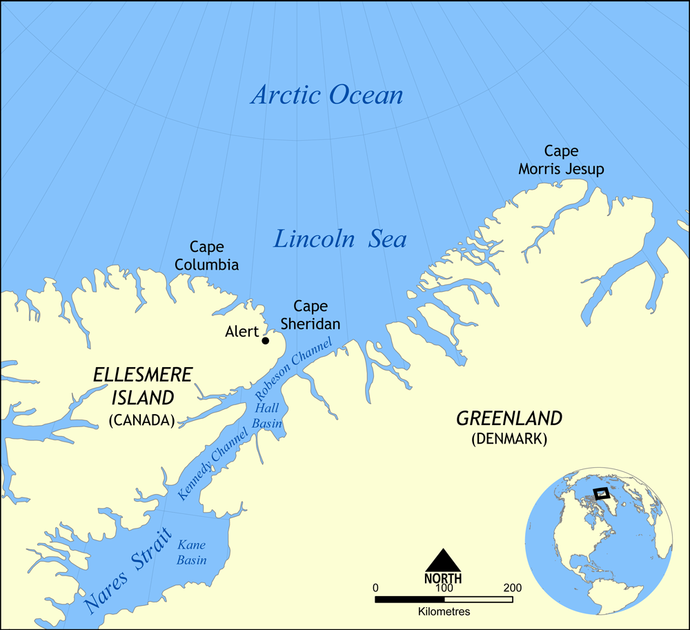
Baffin Bay (Inuktitut: ''Saknirutiak Imanga''; ; ; ), located between Baffin Island and the west coast of Greenland, is defined by the International Hydrographic Organization as a marginal sea of the Arctic Ocean. It is sometimes considered a sea of the Atlantic Ocean, North Atlantic Ocean. It is connected to the Atlantic via Davis Strait and the Labrador Sea. The narrower Nares Strait connects Baffin Bay with the Arctic Ocean. The bay is not navigable most of the year because of the Arctic ice pack, ice cover and high density of Sea ice, floating ice and icebergs in the open areas. However, a polynya of about , known as the North Water Polynya, North Water, opens in summer on the north near Smith Sound. Most of the aquatic life of the bay is concentrated near that region. Extent The International Hydrographic Organization defines the limits of Baffin Bay as follows: History The area of the bay has been inhabited since BC. Around AD 1200, the initial Dorset culture ... [...More Info...] [...Related Items...] OR: [Wikipedia] [Google] [Baidu] |


