|
Avenida General Paz
Avenida General Paz (official name Ruta Nacional A001 - National Route A001) is a beltway freeway surrounding the city of Buenos Aires. Roughly following the boundary between the city and Buenos Aires Province, it is one of the few motorways in Argentina that is toll-free. It carries three lanes of traffic in each direction during most of its length, and five lanes between the Pan-American Highway and the Río de la Plata. There are feeder roads in both directions and there are service areas along its length, usually with a gas station and fast food restaurants. The route was the first highway in Argentina, built between 1937 and 1941 with a cost of m$n 24 million, and officially inaugurated on July 5, 1941.La avenida General Paz on Buenos Aires Historia History [...More Info...] [...Related Items...] OR: [Wikipedia] [Google] [Baidu] |
Buenos Aires
Buenos Aires, controlled by the government of the Autonomous City of Buenos Aires, is the Capital city, capital and largest city of Argentina. It is located on the southwest of the Río de la Plata. Buenos Aires is classified as an Alpha− global city, according to the Globalization and World Cities Research Network, GaWC 2024 ranking. The city proper has a population of 3.1 million and its urban area 16.7 million, making it the List of metropolitan areas, twentieth largest metropolitan area in the world. It is known for its preserved eclecticism, eclectic European #Architecture, architecture and rich culture, cultural life. It is a multiculturalism, multicultural city that is home to multiple ethnic and religious groups, contributing to its culture as well as to the dialect spoken in the city and in some other parts of the country. This is because since the 19th century, the city, and the country in general, has been a major recipient of millions of Immigration to Argentina, im ... [...More Info...] [...Related Items...] OR: [Wikipedia] [Google] [Baidu] |
Traffic Circle
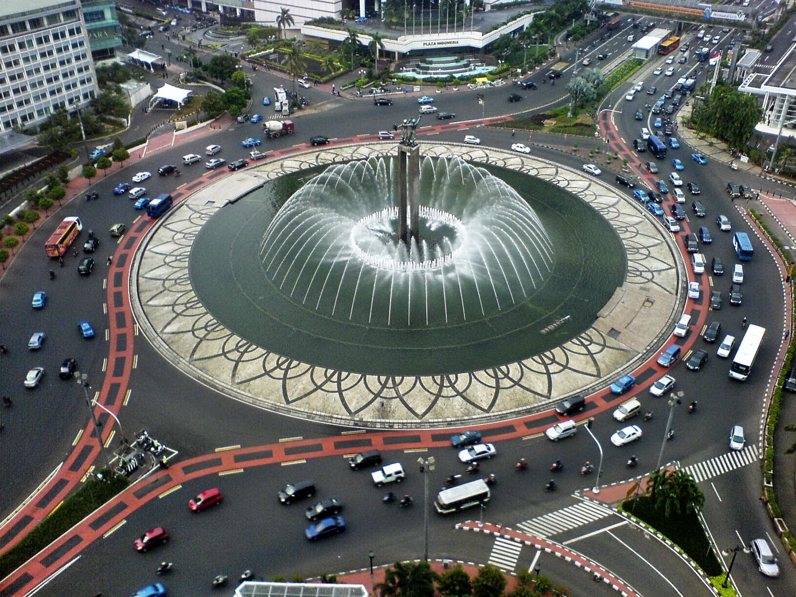
A roundabout, a rotary and a traffic circle are types of circular intersection or junction in which road traffic is permitted to flow in one direction around a central island, and priority is typically given to traffic already in the junction.''The New Shorter Oxford English Dictionary,'' Volume 2, Clarendon Press, Oxford (1993), page 2632 In the United States, engineers use the term modern roundabout to refer to junctions installed after 1960 that incorporate design rules to increase safety. Compared to stop signs, traffic signals, and earlier forms of roundabouts, modern roundabouts reduce the likelihood and severity of collisions greatly by reducing traffic speeds through horizontal deflection and minimising T-bone and head-on collisions. Variations on the basic concept include integration with tram or train lines, two-way flow, higher speeds and many others. For pedestrians, traffic exiting the roundabout comes from one direction, instead of three, simplifying the p ... [...More Info...] [...Related Items...] OR: [Wikipedia] [Google] [Baidu] |
Streets In Buenos Aires
Streets is the plural of street, a type of road. Streets or The Streets may also refer to: Music * Streets (band), a rock band fronted by Kansas vocalist Steve Walsh * ''Streets'' (punk album), a 1977 compilation album of various early UK punk bands * '' Streets...'', a 1975 album by Ralph McTell * '' Streets: A Rock Opera'', a 1991 album by Savatage * "Streets" (Doja Cat song), from the album ''Hot Pink'' (2019) * "Streets", a song by Avenged Sevenfold from the album ''Sounding the Seventh Trumpet'' (2001) * The Streets, alias of Mike Skinner, a British rapper * "The Streets" (song) by WC featuring Snoop Dogg and Nate Dogg, from the album ''Ghetto Heisman'' (2002) Other uses * ''Streets'' (film), a 1990 American horror film * Streets (ice cream), an Australian ice cream brand owned by Unilever * Streets (solitaire), a variant of the solitaire game Napoleon at St Helena * Tai Streets (born 1977), American football player * Will Streets (1886–1916), English soldier and poet ... [...More Info...] [...Related Items...] OR: [Wikipedia] [Google] [Baidu] |
National Roads In Buenos Aires Province
National may refer to: Common uses * Nation or country ** Nationality – a ''national'' is a person who is subject to a nation, regardless of whether the person has full rights as a citizen Places in the United States * National, Maryland, census-designated place * National, Nevada, ghost town * National, Utah, ghost town * National, West Virginia, unincorporated community Commerce * National (brand), a brand name of electronic goods from Panasonic * National Benzole (or simply known as National), former petrol station chain in the UK, merged with BP * National Book Store, a bookstore and office supplies chain in the Philippines * National Car Rental, an American rental car company * National Energy Systems, a former name of Eco Marine Power * National Entertainment Commission, a former name of the Media Rating Council * National Motor Vehicle Company, Indianapolis, Indiana, USA 1900–1924 * National Radio Company, Malden, Massachusetts, USA 1914–1991 * National Supermarke ... [...More Info...] [...Related Items...] OR: [Wikipedia] [Google] [Baidu] |
National Route 7 (Argentina)
National Route 7 (full name in Spanish: ''Ruta Nacional 7 Carretera Libertador General San Martín'') is a road in Argentina. It crosses the country from east to west, from the capital (Buenos Aires) to the border with Chile, thus linking the Atlantic Ocean, Atlantic coast with the Andes, crossing the provinces of Argentina, provinces of Buenos Aires Province, Buenos Aires, Santa Fe Province, Santa Fe, Córdoba Province (Argentina), Córdoba, San Luis Province, San Luis and Mendoza Province, Mendoza. It has a total length of , of which (30%) are freeways. National Route 7 is a branch of the Pan-American Highway, continuing into Chile under the name of Route CH-60. History The origins of this route go back to the ''Western Camino Real'', which was used since the colonial era. The Western Camino Real started at Buenos Aires, ran through San Luis and Mendoza, Argentina, Mendoza, and ended at Santiago de Chile. The road decreased in importance with the introduction of railways ... [...More Info...] [...Related Items...] OR: [Wikipedia] [Google] [Baidu] |
Speed Bumps
Speed bumps (also called traffic thresholds, speed breakers or sleeping policemen) are a class of traffic calming devices that use vertical deflection to slow motor-vehicle traffic in order to improve safety conditions. Variations include the speed hump, speed cushion, and speed table. The use of vertical deflection devices is widespread around the world, and they are most commonly used to enforce a speed limit under . Although speed bumps are effective in keeping vehicle speeds down, their use is sometimes controversial—as they can increase traffic noise, may damage vehicles if traversed at too great a speed (despite that being the point), and slow emergency vehicles. Poorly-designed speed bumps that stand too tall or with too-sharp an angle can be disruptive for drivers, and may be difficult to navigate for vehicles with low ground clearance, even at very low speeds. Many sports cars have this problem with such speed bumps. Speed bumps can also pose serious hazards to mot ... [...More Info...] [...Related Items...] OR: [Wikipedia] [Google] [Baidu] |
Express Bus
Public transport bus services are generally based on regular operation of transit buses along a route calling at agreed bus stops according to a published public transport timetable. History of buses Origins While there are indications of experiments with public transport in Paris as early as 1662, there is evidence of a scheduled "bus route" from Market Street (Manchester), Market Street in Manchester to Pendleton, Greater Manchester, Pendleton in City of Salford, Salford UK, started by John Greenwood d.1851, John Greenwood in 1824. Another claim for the first public transport system for general use originated in Nantes, France, in 1826. , a retired army officer who had built public baths using the surplus heat from his flour mill on the city's edge, set up a short route between the center of town and his baths. The service started on the Place du Commerce, outside the hat shop of a M. Omnès, who displayed the motto ''Omnès Omnibus'' (Latin for "everything for everybod ... [...More Info...] [...Related Items...] OR: [Wikipedia] [Google] [Baidu] |
Colectivo
''Colectivo'' ( English: collective bus) is the name given in Argentina to a type of public transportation vehicle, especially those of Argentina's capital city, Buenos Aires. The name comes from ''vehículos de transporte colectivo'' ("vehicles for collective transport"), reflecting their origin as shared taxis.The design evolution of the colectivo Article with much information and many photographs, accessed 10 April 2010 When they first appeared in the 1920s, ''colectivos'' were small buses built out of smaller vehicle chassis (cars, vans, etc.) and, later, out of |
Cloverleaf Interchange
A cloverleaf interchange is a two-level interchange (road), interchange in which all turns are handled by slip roads. To go left (in right-hand traffic; reverse directions in left-driving regions), vehicles first continue as one road passes over or under the other, then exit right onto a one-way three-quarter loop ramp (270°) and merge onto the intersecting road. The objective of a cloverleaf is to allow two highways to cross without the need for any traffic to be stopped by traffic lights. The limiting factor in the capacity of a cloverleaf interchange is traffic weaving. Overview Cloverleaf interchanges, viewed from overhead or on maps, resemble the leaf, leaves of a four-leaf clover or less often a 3-leaf clover. In the United States, cloverleaf interchanges existed long before the Interstate highway, Interstate system. They were originally created for busier interchanges that the original diamond interchange system could not handle. Their chief advantage was that ... [...More Info...] [...Related Items...] OR: [Wikipedia] [Google] [Baidu] |
Liniers, Buenos Aires
Liniers is a Barrios of Buenos Aires, barrio (neighborhood) of Buenos Aires on the edge of the city, centered on Rivadavia Avenue. It is also an important train station and bus hub, connecting western Gran Buenos Aires with the Buenos Aires Metro. The neighborhood developed around the Liniers railway station following its inaugural in 1872. The neighborhood is home to football (soccer), football club Club Atlético Vélez Sársfield, whose stadium, the José Amalfitani Stadium, has been established there in 1951. Liners is also the site of the Church of Saint Cajetan, San Cayetano, consecrated in 1900 and elevated to a parish in 1913. The Church of San Cayetano hosts thousands of faithful who gather each feast day (August 7) to pray for employment or to give thanks for their livelihood. The ward is named after Santiago de Liniers, a colonial administrator who resisted the British Invasions in Rio de la Plata, British Invasions of the Río de la Plata. References External lin ... [...More Info...] [...Related Items...] OR: [Wikipedia] [Google] [Baidu] |
Matanza River
The Matanza River is a stream in Argentina that originates in the Buenos Aires Province and defines the southern boundary of the Buenos Aires federal district. It empties into the Río de la Plata between Tandanor and Dock Sud. The La Boca neighbourhood and the Boca Juniors football club are located near the stream's mouth. The Spanish word ''boca'' means "mouth". The river's course has been canalized and channelized in places, especially along its lower course. From its source down to La Noria Bridge on Avenida General Paz, the river is usually referred to as ''Río La Matanza'', and from that point onwards as ''Riachuelo''. Approximately 3.5 million people live in its drainage basin of . The south-easterly storm wind, known as ''Sudestada'', hinders the waters of the Riachuelo from reaching the Río de la Plata, producing frequent flooding in low-lying areas like La Boca and Barracas. Since 1995 a number of flood control projects have been carried out to prevent such oc ... [...More Info...] [...Related Items...] OR: [Wikipedia] [Google] [Baidu] |


