|
Alingar District
Alingar District is located approximately 27 km from Mehtarlam, the provincial capital of Laghman Province and borders with Alishing and Dawlat Shah districts to the West, Nuristan Province to the North, Kunar and Nangarhar provinces to the East and Qarghayi and Mihtarlam districts to the South.It has about 60 villages located in four main valleys. The population is 85,600 (2006) - 70% of them Pashtun, 20% Pashai and 5% Tajik. The district center is the village of Shahi, located on at 915 m altitude, in the valley of the Alingar River, which crosses the district and is the main source of irrigation. The security situation is reported to be relatively stable, although there are some private disputes. The district is reported free of landmines. The main crops are wheat, rice, corn, vegetables. There are also fields with poppy. The district is mountainous and there is little arable land. Some of the agricultural land has been destroyed by flooding. The main sources of inc ... [...More Info...] [...Related Items...] OR: [Wikipedia] [Google] [Baidu] |
Districts Of Afghanistan
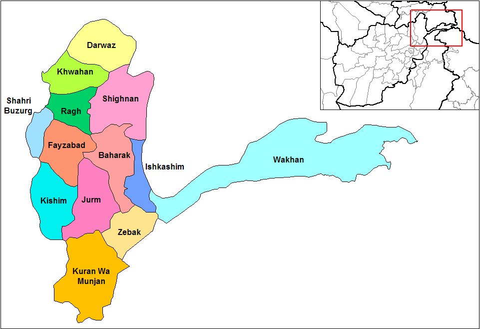
The districts of Afghanistan, known as ''wuleswali'' (, ''wuləswāləi''; , ''wuləswālī''; ''ulasvolik''), are secondary-level administrative units, one level below Provinces of Afghanistan, provinces. The Afghan government issued its first district map in 1973. It recognized 325 districts, counting ''wuleswalis'' (districts), ''alaqadaries'' (sub-districts), and ''markaz-e-wulaiyat'' (provincial center districts). In the ensuing years, additional districts have been added through splits, and some eliminated through merges. In June 2005, the Afghan government issued a map of 398 districts. It was widely adopted by many information management systems, though usually with the addition of ''Sharak-e-Hayratan'' for 399 districts in total. It remains the ''de facto'' standard as of late 2018, despite a string of government announcements of the creation of new districts. The latest announced set includes 421 districts. The country's Central Statistics Office (CSO) and the Indepe ... [...More Info...] [...Related Items...] OR: [Wikipedia] [Google] [Baidu] |
Mihtarlam District
Mihtarlam District is located in the center of Laghman Province of Afghanistan and consists of the urban centre and provincial capital Mihtarlam, 24 major villages and 269 sub-villages. Etymology Mihtarlam derives its name from Mihtarlam Baba ( Lamech), who was reputed to be the father of the prophet Noah. Geography It borders Kabul Province to the west, Alishing and Alingar districts to the north and Qarghayi District to the east and south. Demographics The district's population is 121,200 (as of 2006) - 60% Pashtun, 35% Tajik and 5% Pashai. The city of Mehterlam has a population of 32,949. It has 10 districts and a total land area of 1,397 hectares. The total number of dwellings in this city is 3,661. Land use The Alishang river pours into Alingar River just south of the district center, and the lands around them are irrigated. Agriculture is the main source of income. Many young men search for work in Iran and Pakistan. About 59% of the houses were partially ... [...More Info...] [...Related Items...] OR: [Wikipedia] [Google] [Baidu] |
Pakistan
Pakistan, officially the Islamic Republic of Pakistan, is a country in South Asia. It is the List of countries and dependencies by population, fifth-most populous country, with a population of over 241.5 million, having the Islam by country#Countries, second-largest Muslim population as of 2023. Islamabad is the nation's capital, while Karachi is List of cities in Pakistan by population, its largest city and financial centre. Pakistan is the List of countries and dependencies by area, 33rd-largest country by area. Bounded by the Arabian Sea on the south, the Gulf of Oman on the southwest, and the Sir Creek on the southeast, it shares land borders with India to the east; Afghanistan to the west; Iran to the southwest; and China to the northeast. It shares a maritime border with Oman in the Gulf of Oman, and is separated from Tajikistan in the northwest by Afghanistan's narrow Wakhan Corridor. Pakistan is the site of History of Pakistan, several ancient cultures, including the ... [...More Info...] [...Related Items...] OR: [Wikipedia] [Google] [Baidu] |
Arable Land
Arable land (from the , "able to be ploughed") is any land capable of being ploughed and used to grow crops.''Oxford English Dictionary'', "arable, ''adj''. and ''n.''" Oxford University Press (Oxford), 2013. Alternatively, for the purposes of agricultural statistics, the term often has a more precise definition: A more concise definition appearing in the Eurostat glossary similarly refers to actual rather than potential uses: "land worked (ploughed or tilled) regularly, generally under a system of crop rotation". In Britain, arable land has traditionally been contrasted with pasturable land such as heaths, which could be used for sheep-rearing but not as farmland. Arable land is vulnerable to land degradation and some types of un-arable land can be enriched to create useful land. Climate change and biodiversity loss are driving pressure on arable land. By country According to the Food and Agriculture Organization of the United Nations, in 2013, the world's arable land amo ... [...More Info...] [...Related Items...] OR: [Wikipedia] [Google] [Baidu] |
Poppy
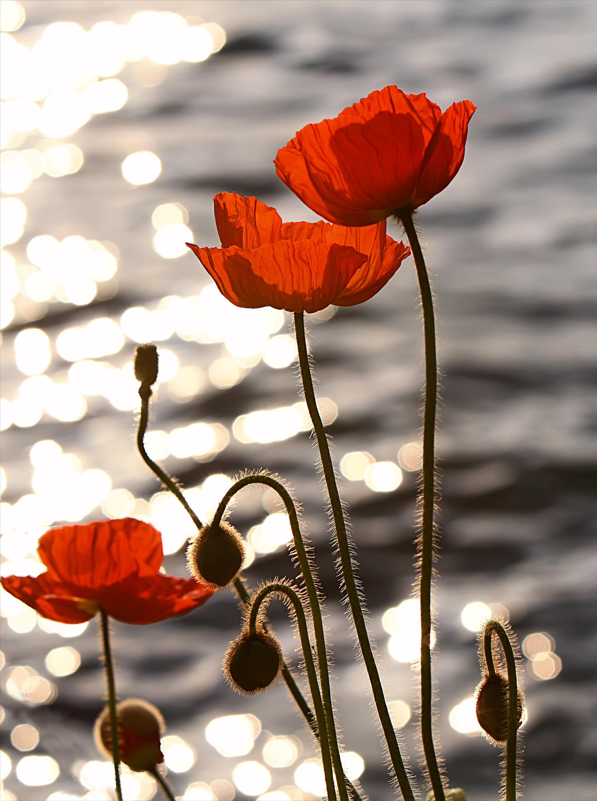
A poppy is a flowering plant in the subfamily Papaveroideae of the family Papaveraceae. Poppies are herbaceous plants, often grown for their colourful flowers. One species of poppy, '' Papaver somniferum'', is the source of the narcotic drug mixture opium, which contains powerful medicinal alkaloids such as morphine and has been used since ancient times as an analgesic and narcotic medicinal and recreational drug. It also produces edible seeds. Following the trench warfare in the poppy fields of Flanders, Belgium, during World War I, poppies have become a symbol of remembrance of soldiers who have died during wartime, especially in the UK, Canada, Australia, New Zealand and other Commonwealth realms. Description Poppies are herbaceous annual, biennial or short-lived perennial plants. Some species are monocarpic, dying after flowering. Poppies can be over tall with flowers up to across. Flowers of species (not cultivars) have 4 or 6 petals, many stamens forming a ... [...More Info...] [...Related Items...] OR: [Wikipedia] [Google] [Baidu] |
Maize
Maize (; ''Zea mays''), also known as corn in North American English, is a tall stout grass that produces cereal grain. It was domesticated by indigenous peoples in southern Mexico about 9,000 years ago from wild teosinte. Native Americans planted it alongside beans and squashes in the Three Sisters polyculture. The leafy stalk of the plant gives rise to male inflorescences or tassels which produce pollen, and female inflorescences called ears. The ears yield grain, known as kernels or seeds. In modern commercial varieties, these are usually yellow or white; other varieties can be of many colors. Maize relies on humans for its propagation. Since the Columbian exchange, it has become a staple food in many parts of the world, with the total production of maize surpassing that of wheat and rice. Much maize is used for animal feed, whether as grain or as the whole plant, which can either be baled or made into the more palatable silage. Sugar-rich varieties called sw ... [...More Info...] [...Related Items...] OR: [Wikipedia] [Google] [Baidu] |
Rice
Rice is a cereal grain and in its Domestication, domesticated form is the staple food of over half of the world's population, particularly in Asia and Africa. Rice is the seed of the grass species ''Oryza sativa'' (Asian rice)—or, much less commonly, ''Oryza glaberrima'' (African rice). Asian rice was domesticated in China some 13,500 to 8,200 years ago; African rice was domesticated in Africa about 3,000 years ago. Rice has become commonplace in many cultures worldwide; in 2023, 800 million tons were produced, placing it third after sugarcane and maize. Only some 8% of rice is traded internationally. China, India, and Indonesia are the largest consumers of rice. A substantial amount of the rice produced in developing nations is lost after harvest through factors such as poor transport and storage. Rice yields can be reduced by pests including insects, rodents, and birds, as well as by weeds, and by List of rice diseases, diseases such as rice blast. Traditional rice polyc ... [...More Info...] [...Related Items...] OR: [Wikipedia] [Google] [Baidu] |
Wheat
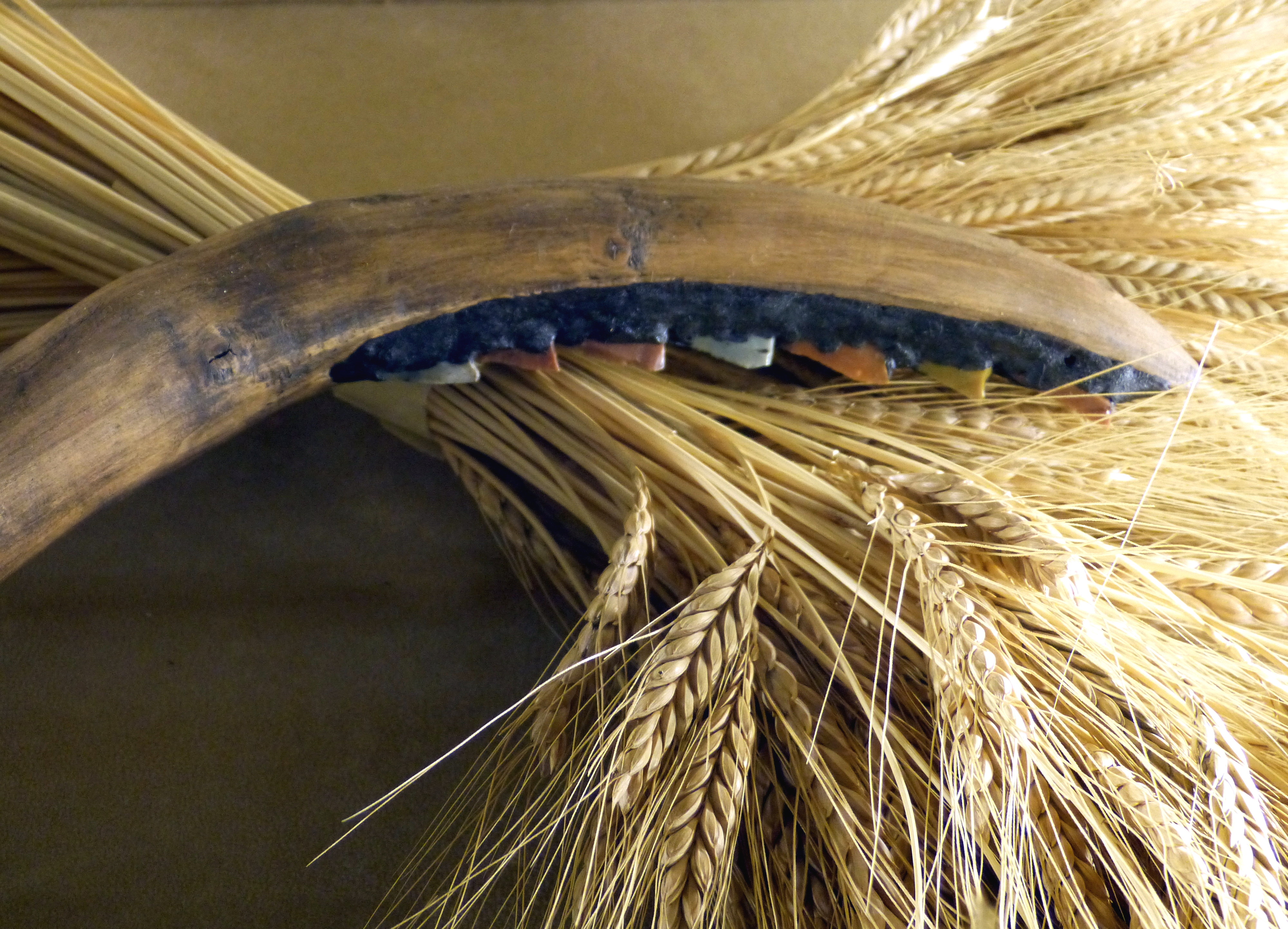
Wheat is a group of wild and crop domestication, domesticated Poaceae, grasses of the genus ''Triticum'' (). They are Agriculture, cultivated for their cereal grains, which are staple foods around the world. Well-known Taxonomy of wheat, wheat species and hybrids include the most widely grown common wheat (''T. aestivum''), spelt, durum, emmer, einkorn, and Khorasan wheat, Khorasan or Kamut. The archaeological record suggests that wheat was first cultivated in the regions of the Fertile Crescent around 9600 BC. Wheat is grown on a larger area of land than any other food crop ( in 2021). World trade in wheat is greater than that of all other crops combined. In 2021, world wheat production was , making it the second most-produced cereal after maize (known as corn in North America and Australia; wheat is often called corn in countries including Britain). Since 1960, world production of wheat and other grain crops has tripled and is expected to grow further through the middle of ... [...More Info...] [...Related Items...] OR: [Wikipedia] [Google] [Baidu] |
Alingar River
The Alingar River (also Alingâr) in Laghman Province of Afghanistan is one of the major tributaries of the Kabul River, and part of the Indus River The Indus ( ) is a transboundary river of Asia and a trans-Himalayas, Himalayan river of South Asia, South and Central Asia. The river rises in mountain springs northeast of Mount Kailash in the Western Tibet region of China, flows northw ... basin. It has two sources, the Ramgel and Kulem rivers. It gives its name to Alingar District as well as to Alingar Valley in which that district is located. It also flows through Mihtarlam in Mihtarlam District. See also * References Rivers of Afghanistan Kabul River Landforms of Laghman Province Valleys of Afghanistan Rivers of Pakistan {{Laghman-geo-stub ... [...More Info...] [...Related Items...] OR: [Wikipedia] [Google] [Baidu] |
Tājik People
Tajiks (; ; also spelled ''Tadzhiks'' or ''Tadjiks'') is the name of various Persian-speaking Eastern Iranian groups of people native to Central Asia, living primarily in Afghanistan, Tajikistan and Uzbekistan. Even though the term ''Tajik'' does not refer to a cohesive cross-national ethnic group,Nourzhanov, K., & Bleuer, C. (2013). Forging Tajik Identity: Ethnic Origins, National–Territorial Delimitation and Nationalism. In Tajikistan: A Political and Social History (pp. 27–50). ANU Press. Link/ref> Tajiks are the largest ethnicity in Tajikistan, and the second-largest in both Afghanistan and Uzbekistan. They speak variations of Persian, a west Iranian language. In Tajikistan, since the 1939 Soviet census, its small Pamiri and Yaghnobi ethnic groups are included as Tajiks. In China, the term is used to refer to its Pamiri ethnic groups, the Tajiks of Xinjiang, who speak the Eastern Iranian Pamiri languages. In Afghanistan, the Pamiris are considered a separate ethn ... [...More Info...] [...Related Items...] OR: [Wikipedia] [Google] [Baidu] |
Pashai People
The Pashayi or Pashai, formerly known as the Alina, ( /pəˈʃaɪ/; Pashayi: پشهای, romanised: ''Paṣhəy'') are an Indo-Aryan ethnolinguistic group living primarily in eastern Afghanistan. They are mainly concentrated in the northern parts of Laghman and Nangarhar, also parts of Kunar, Kapisa, Parwan, Nuristan, and a bit of Panjshir. Many Pashai are bilingual in Pashto and sometimes trilingual with Farsi as a third language. Some of the Pashayi have been assimilated by Pashtuns, whereas those in Panjshir and Parwan, have been assimilated by Tajiks. Some Pashayi people are also based in Central Afghanistan, in places such as Jaghori District. History There is no consensus on the origins of the Pashayi. According to Christine Noelle-Karimi, the Pashayis and Nuristanis were native to the Kunar Valley and Laghman Province, near Jalalabad in north-east Afghanistan, until they were displaced to less fertile mountainous region by successive waves of immigration by Ghilji ... [...More Info...] [...Related Items...] OR: [Wikipedia] [Google] [Baidu] |
Pashtun People
Pashtuns (, , ; ;), also known as Pakhtuns, or Pathans, are an Iranic ethnic group primarily residing in southern and eastern Afghanistan and northwestern Pakistan. They were historically also referred to as Afghans until 1964 after the term's meaning had become a demonym for all citizens of Afghanistan regardless of their ethnic group. The Pashtuns speak the Pashto language, which belongs to the Eastern Iranian branch of the Iranian language family. Additionally, Dari serves as the second language of Pashtuns in Afghanistan, while those in Pakistan speak Urdu and English. In India, the majority of those of Pashtun descent have lost the ability to speak Pashto and instead speak Hindi and other regional languages. There are an estimated 350–400 Pashtun tribes and clans with a variety of origin theories. In 2021, Shahid Javed Burki estimated the total Pashtun population to be situated between 60 and 70 million, with 15 million in Afghanistan. Others who accept the ... [...More Info...] [...Related Items...] OR: [Wikipedia] [Google] [Baidu] |


