|
Alhucemas Landing
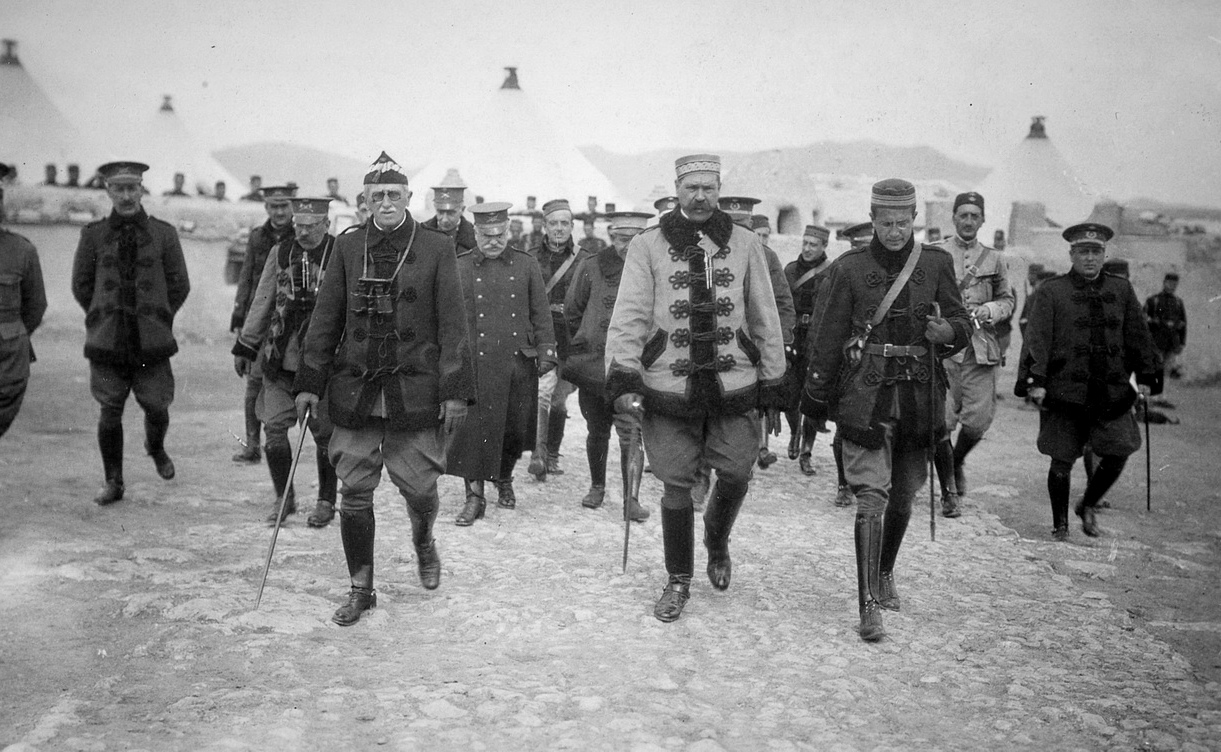
The Alhucemas landing (; also known as Al Hoceima landing) was a landing operation which took place on 8 September 1925 at Alhucemas by the Spanish Army and Navy and, in lesser numbers, an allied French naval and aerial contingent, that would put an end to the Rif War. It is considered the first amphibious landing in history involving the use of tanks and massive seaborne air support. Alhucemas is seen as a precursor of the Allied amphibious landings in World War II, and the first successful combined operation of the 20th century. The operations consisted in landing a force of 13,000 Spanish soldiers transported from Ceuta and Melilla by a combined Spanish-French naval fleet. The commander of the operation was the then dictator of Spain, general Miguel Primo de Rivera, and, as the executive head of the landing forces at the beach of Alhucemas bay, general José Sanjurjo, under whose orders were two army brigades from Ceuta and Melilla, led by Leopoldo Saro Marín and Emil ... [...More Info...] [...Related Items...] OR: [Wikipedia] [Google] [Baidu] |
Rif War
The Rif War (, , ) was an armed conflict fought from 1921 to 1926 between Spain (joined by France in 1924) and the Berber tribes of the mountainous Rif region of northern Morocco. Led by Abd el-Krim, the Riffians at first inflicted several defeats on the Spanish forces by using guerrilla tactics and with the help of captured European weapons. After France's military intervention against Abd el-Krim's forces and the major landing of Spanish troops at Al Hoceima, considered the first amphibious landing in history to involve the use of tanks and aircraft, Abd el-Krim surrendered to the French and was taken into exile. In July 1909, Spanish workers constructing a rail-bridge providing access to iron mines near Melilla were attacked by Riffian tribesmen. This incident led to the summoning of reinforcements from Spain itself. A series of skirmishes over the following weeks cost the Spanish over a thousand casualties. By September, the Spanish Army had 40,000 troops in northern ... [...More Info...] [...Related Items...] OR: [Wikipedia] [Google] [Baidu] |
Spanish Legion
For centuries, Spain recruited foreign soldiers to its army, forming the foreign regiments () such as the Regiment of Hibernia (formed in 1709 from Irishmen who fled their own country in the wake of the Flight of the Earls and the Penal law (British), penal laws). However, the specific unit of the Spanish Army and Spain's Rapid Reaction Force, now known as the Spanish Legion (), and informally known as the Tercio or the Tercios, is a 20th-century creation. It was raised in the 1920s to serve as part of Spain's Army of Africa (Spain) , Army of Africa. The unit, which was established in January 1920 as the Spanish equivalent of the French Foreign Legion, was initially known as the ("Tercio of foreigners"), the name under which it began fighting in the Rif War of 1921–1926. Over the years, the force's name has changed from to (when the field of operations targeted Morocco), and by the end of the Rif War it became the "Spanish Legion", with several "tercios" as sub-units. ... [...More Info...] [...Related Items...] OR: [Wikipedia] [Google] [Baidu] |
Spanish Battleship Alfonso XIII
''Alfonso XIII'' was the second of three dreadnought battleships built in the 1910s for the Spanish Navy. Named after King Alfonso XIII of Spain, the ship was not completed until 1915 owing to a shortage of materials that resulted from the start of World War I the previous year. The ''España'' class was ordered as part of a naval construction program to rebuild the fleet after the losses of the Spanish–American War; the program began in the context of closer Spanish relations with Britain and France. The ships were armed with a main battery of eight guns and were intended to support the French Navy in the event of a major European war. Despite the reason for the ships' construction, Spain during World War I, Spain remained neutral during World War I. ''Alfonso XIII''s early career passed largely uneventfully with routine training exercises in Spanish waters, though she was used to assist civilian vessels in distress and her crew was deployed to suppress civil unrest in Spa ... [...More Info...] [...Related Items...] OR: [Wikipedia] [Google] [Baidu] |
Seaplane Carrier Dédalo, September 1925
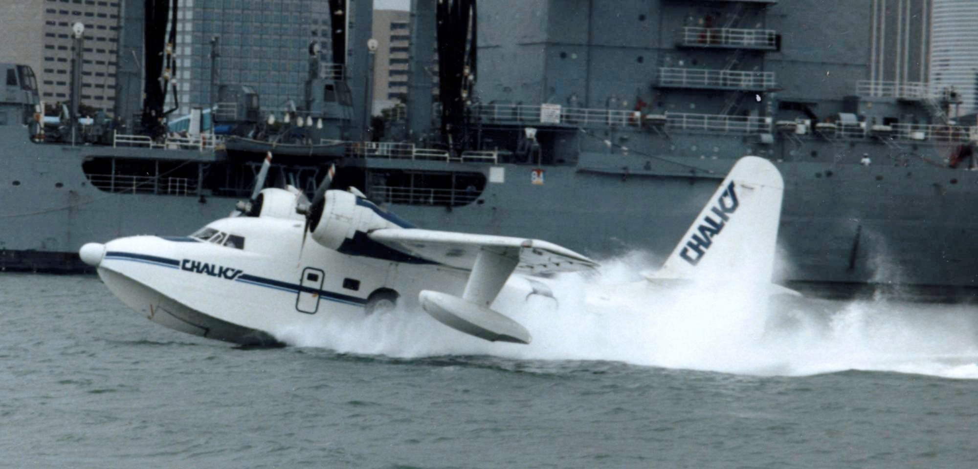
A seaplane is a powered fixed-wing aircraft capable of taking off and landing (alighting) on water.Gunston, "The Cambridge Aerospace Dictionary", 2009. Seaplanes are usually divided into two categories based on their technological characteristics: floatplanes and flying boats; the latter are generally far larger and can carry far more. Seaplanes that can also take off and land on airfields are in a subclass called amphibious aircraft, or amphibians. Seaplanes were sometimes called ''hydroplanes'', but currently this term applies instead to motor-powered watercraft that use the technique of hydrodynamic lift to skim the surface of water when running at speed. The use of seaplanes gradually tapered off after World War II, partially because of the investments in airports during the war but mainly because landplanes were less constrained by weather conditions that could result in sea states being too high to operate seaplanes while landplanes could continue to operate. In the 21st ... [...More Info...] [...Related Items...] OR: [Wikipedia] [Google] [Baidu] |
Gallipoli
The Gallipoli Peninsula (; ; ) is located in the southern part of East Thrace, the European part of Turkey, with the Aegean Sea to the west and the Dardanelles strait to the east. Gallipoli is the Italian form of the Greek name (), meaning 'beautiful city', the original name of the modern town of Gelibolu. In antiquity, the peninsula was known as the Thracian Chersonese (; ). The peninsula runs in a south-westerly direction into the Aegean Sea, between the Dardanelles (formerly known as the Hellespont), and the Gulf of Saros (formerly the bay of Melas). In antiquity, it was protected by the Long Wall, a defensive structure built across the narrowest part of the peninsula near the ancient city of Agora. The isthmus traversed by the wall was only 36 stadia in breadthHerodotus, ''The Histories''vi. 36 Xenophon, ibid.; Pseudo-Scylax, '' Periplus of Pseudo-Scylax'', 67PDF) or about , but the length of the peninsula from this wall to its southern extremity, Cape Mastusia, was ... [...More Info...] [...Related Items...] OR: [Wikipedia] [Google] [Baidu] |
Ait Ouriaghel
The Ait Waryaghar or Ait Ouriaghel (Berber languages, Berber: ⴰⵢⵜ ⵡⴰⵔⵢⴰⵖⴻⵔ) is one of the biggest Riffians, Riffian tribes of the Rif region of the north-eastern part of Morocco and one of the most populous. Ait Waryagher means "those who do not back off/ those who do not retreat". They inhabit most of the territory around the city of Al Hoceima. The Ait Waryaghar speak the "Western-Tarifit" dialect of the Riffian language. The Ait Waryaghar were the main group which participated in the Rif wars (see Republic of the Rif) against the Spanish Morocco, Spanish Protectorate in Morocco at the beginning of 20th century. The Spain, Spanish authorities considered it the nucleus of ''insumisión'' to the colonial authority in the Eastern zone of the protectorate (see Battle of Annual). During the Rif War of 1921-1926, the leadership of the Ait Waryaghar was concentrated in the Al-Khattabi family and, in particular, in Muhammad bin Abd el-Krim al-Khattabi. Its centre w ... [...More Info...] [...Related Items...] OR: [Wikipedia] [Google] [Baidu] |
French Protectorate In Morocco
The French protectorate in Morocco, also known as French Morocco, was the period of French colonial rule in Morocco that lasted from 1912 to 1956. The protectorate was officially established 30 March 1912, when List of rulers of Morocco, Sultan Abd al-Hafid of Morocco, Abd al-Hafid signed the Treaty of Fez, though the French French conquest of Morocco, military occupation of Morocco had begun with the invasion of Oujda and the Bombardment of Casablanca (1907), bombardment of Casablanca in 1907. The French protectorate lasted until the dissolution of the Treaty of Fez on 2 March 1956, with the Franco-Moroccan Joint Declaration. Morocco's independence movement, described in Moroccan historiography as the Revolution of the King and the People, restored the exiled Mohammed V of Morocco, Mohammed V but it did not end the French presence in Morocco. France preserved its influence in the country, including a right to station French troops and to have a say in Morocco's foreign policy. ... [...More Info...] [...Related Items...] OR: [Wikipedia] [Google] [Baidu] |
Chefchaouen
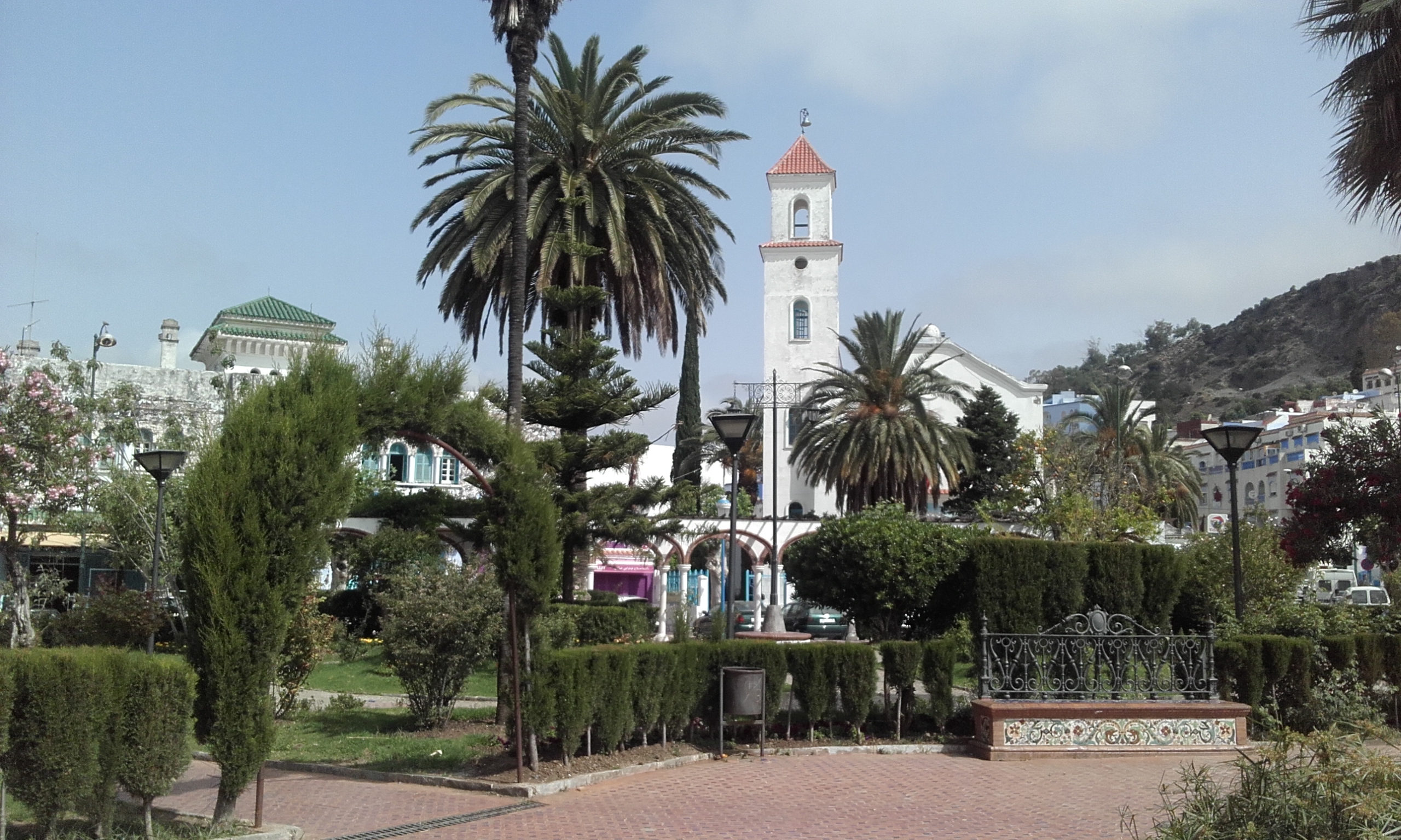
Chefchaouen (, ) is a city in northwest Morocco. It is the chief town of the province of the same name and is noted for its buildings in shades of blue, for which it is nicknamed the "Blue City". It is situated in a mountainous region in northern Morocco, between Tétouan and Ouazzane. It was founded in 1471 by the Moulay Ali Ben Rachid, a distant descendant of the Islamic Prophet Muhammad. The original settlement consisted of just a small fortress, now referred to as Chefchaouen’s Kasbah. The fortress was erected to help defend the area from potential attacks by Portuguese invaders; at the time, Portugal was launching attacks against northern cities and towns in Morocco. Etymology The name "Chefchaouen" is of Arabic and Berber origin coming from "Chef” (), a derivation of the Arabic word “to look”, and the Berber term “Echaouen", meaning “antlers” or “horns” and is a term used to indicate the peak of mountains. Chefchaouen thus means 'look at the horns', r ... [...More Info...] [...Related Items...] OR: [Wikipedia] [Google] [Baidu] |
Tétouan
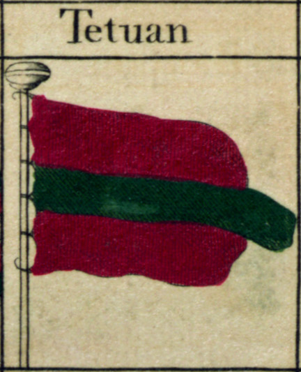
Tétouan (, or ) is a city in northern Morocco. It lies along the Martil Valley and is one of the two major ports of Morocco on the Mediterranean Sea, a few miles south of the Strait of Gibraltar, and about E.S.E. of Tangier. In the 2014 Moroccan census, the city recorded a population of 380,787 inhabitants. It is part of the administrative division Tanger-Tetouan-Al Hoceima. The city has witnessed many development cycles spanning over more than 2,000 years. The first settlements, discovered a few miles outside of the modern city limits, belonged to the ancient Mauretania, Mauretanians and date back to the 3rd century BC. A century later, Phoenicians traded there and after them the site—known now as the ancient town of Tamuda—became a Ancient Rome, Roman colony under Emperor Augustus.M. Tarradell, ''El poblamiento antiguo del Rio Martin'', Tamuda, IV, 1957, p. 272M. R. El Azifi, « L'habitat ancien de la vallée de Martil » in ''Revue de la Faculté des lettres de Tétouan' ... [...More Info...] [...Related Items...] OR: [Wikipedia] [Google] [Baidu] |
Larache
Larache () is a city in northwestern Morocco. It is on the Moroccan coast, where the Loukkos River meets the Atlantic Ocean. Larache is one of the most important cities of the Tanger-Tetouan-Al Hoceima region. Many civilisations and cultures have influenced the history of Larache, starting in the ancient city of Lixus (ancient city), Lixus during the 12th centuryBCE. Between the period of being a strategic Berbers, Berber town and then a Phoenician trading centre to Morocco's independence era around the 1950s, Larache was a nexus for many cultures. History The city is not mentioned in Arabic historical sources until the 13th century. It was founded by the Idrisid dynasty, Idrisite Banu 'Arus. Because of the abundant Vine, vines in the area, they named it ''al-'Ara'ish'', meaning "Trellis (architecture), trellis of grape vines", or ''al-'Arīsh mtā' Bnī 'Arūs'' ("grape vine trellis of the Banu 'Arus") in longer form. The Almohad caliph Ya’qub al-Mansur, Ya'qub al-Mansur (r. ... [...More Info...] [...Related Items...] OR: [Wikipedia] [Google] [Baidu] |
Jebala People
The Jebala () are a tribal confederation inhabiting an area in northwest Morocco from the town of Ketama to the west. The Jbala region thus occupies the western part of the Rif mountains. The Jbala has a population of 1,284,000 and is divided into over 40 tribes, today known as "rural communes" (), and adjacent to them are a small group of nine tribes called the Ghmara (), who inhabit the territory between the line of mountain peaks to the north of Chefchaouen and the Mediterranean Sea. In addition to tribal heterogeneity, this region is also geographically diverse. High mountains are interspersed with hills and flatlands, and local inhabitants settle in both the high mountains and valleys. In addition to the rainy climate, which influences the way the inhabitants build their houses as well as their special agricultural practices, there are also numerous cultural characteristics that contribute to an emphasised sense of identity and make the Jbala people clearly distinguishable fr ... [...More Info...] [...Related Items...] OR: [Wikipedia] [Google] [Baidu] |


