|
Abaco Island
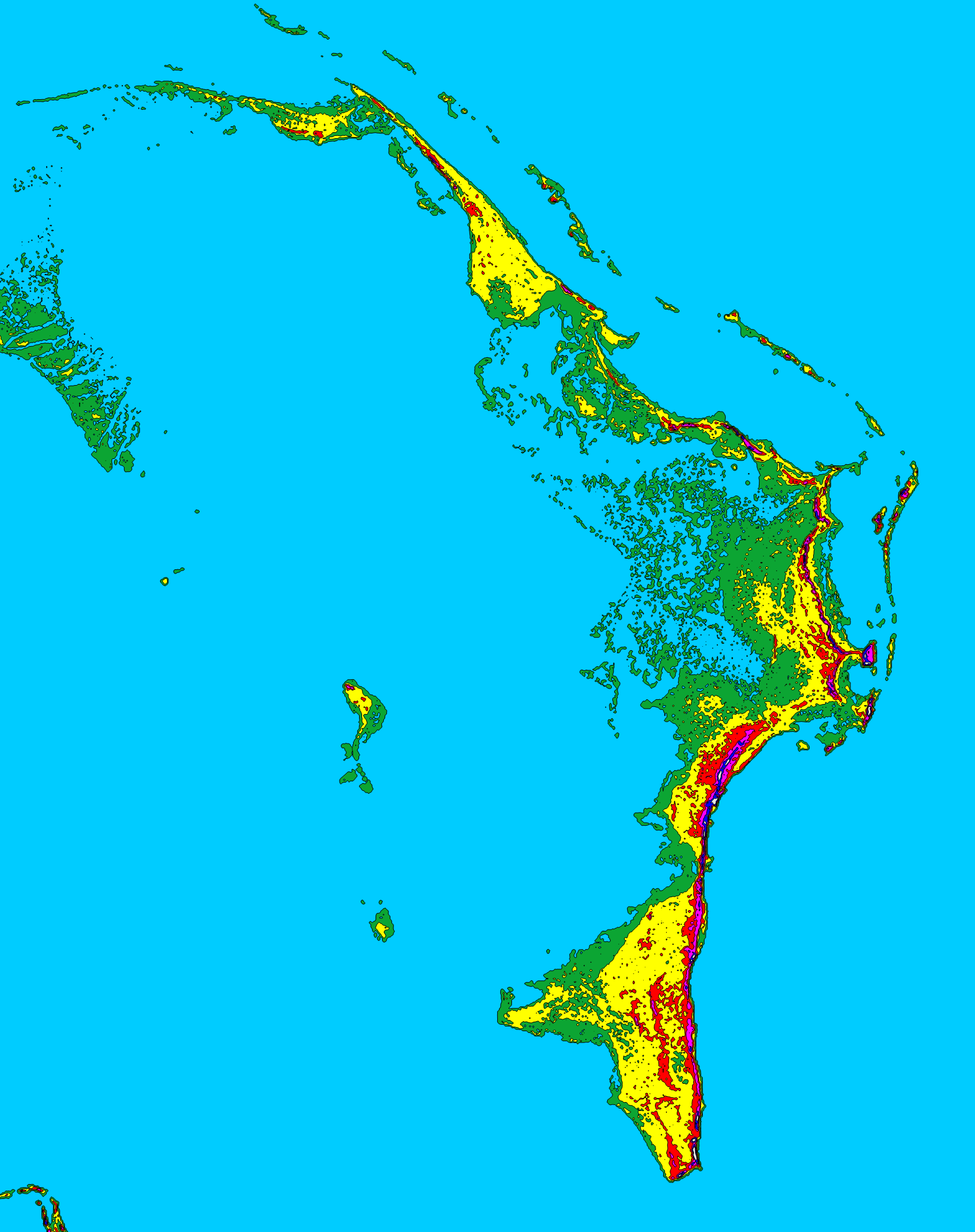
The Abaco Islands lie in the north of The Bahamas, about 193 miles (167.7 nautical miles or 310.6 km) east of Miami, Florida, US. The main islands are Great Abaco and Little Abaco, which is just west of Great Abaco's northern tip. There are several smaller barrier cays, of which the northernmost are Walker's Cay and its sister island Grand Cay. To the south, the next inhabited islands are Spanish Cay and Green Turtle Cay, with its settlement of New Plymouth, Great Guana Cay, private Scotland Cay, Man-O-War Cay and Elbow Cay, with its settlement of Hope Town. Southernmost are Tilloo Cay and Lubbers Quarters. Also off Abaco's western shore is Gorda Cay, a Disney-owned island and cruise ship stop renamed Castaway Cay. Also in the vicinity is Moore's Island. On the Big Island of Abaco is Marsh Harbour, the Abacos' commercial hub and The Bahamas' third-largest city, plus the resort area of Treasure Cay. Both have airports. Mainland settlements include Coopers Town and F ... [...More Info...] [...Related Items...] OR: [Wikipedia] [Google] [Baidu] |
Districts Of The Bahamas
Local government in the Bahamas exists at two levels: 32 districts and 41 towns. The boundaries of districts are defined by the First Schedule of The Bahamas Local Government Act 1996 (as amended by law and declarations of the Minister responsible for Family Island Affairs), defined with reference to parliamentary constituency boundaries. The Second Schedule lists 13 districts which are divided into town areas. Towns are governed by directly elected town committees. Second Schedule districts are governed by nine-person district councils composed of the chairs of the town committees, and if numerically required, additional people elected by the town committees. The 19 Third Schedule districts are unitary authorities which cannot be divided into towns. They are governed by nine-person district councils which are directly elected by voters. The powers of Second Schedule and Third Schedule councils are slightly different, and the Third Schedule district known as the City of Free ... [...More Info...] [...Related Items...] OR: [Wikipedia] [Google] [Baidu] |
North Abaco
North Abaco is one of the districts of the Bahamas, on the Abaco Islands. It has a population of 9,578 according to the 2010 census. - Bahamas Department of Statistics Some of the more well-known settlements within this district include: * * Crown Haven * Cedar Harbour * [...More Info...] [...Related Items...] OR: [Wikipedia] [Google] [Baidu] |
Peter Martyr Map
The Peter Martyr map is a Spanish Wood engraving, woodcut map composed in 1511 or 1514 and included in most or some copies of the 1511 edition of ''Decades of the New World'' by Peter Martyr d'Anghiera. The map depicts the insular and continental Caribbean coastlines and soundings as understood in the early 1510s by Iberian authorities. It is deemed the first print map of the Caribbean, and possibly the first such to focus specifically on the New World. History Details of the map's provenance remain unclear, though a good few theories have been proposed. Traditionally, it has been dated to 1511 and attributed to Martyr, in keeping with the provenance of the first edition of ''Decades of the New World''. Recently, however, the University of Valladolid-affiliated scholar, Jesús Varela Marcos, has proposed that the map was created jointly by Martyr and Juan Rodríguez de Fonseca in 1514, and thereafter included ''a posteriori'' in copies of the former's 1511 edition of ''Deca ... [...More Info...] [...Related Items...] OR: [Wikipedia] [Google] [Baidu] |
Juan De La Cosa
Juan de la Cosa (c. 1450 – 28 February 1510) was a Basque navigator and cartographer, known for designing the earliest European world map which incorporated the territories of the Americas discovered in the 15th century. De la Cosa was the owner and master of the '' Santa María'', and thus played an important role in the first and second voyage of Christopher Columbus to the West Indies. In 1499, he served as the chief pilot in the expedition of Alonso de Ojeda to the coasts of South America. Upon his return to Andalusia, he drew his famous mappa mundi ("world map") and soon returned to the Indies, this time with Rodrigo de Bastidas. In the following years, De la Cosa alternated trips to America under its own command with special duties from the Crown, including an assignment as a spy in Lisbon and participation in the board of pilots held in Burgos in 1508. In 1509, he began what would be his last expedition, again with Ojeda, to take possession of the coasts of modern ... [...More Info...] [...Related Items...] OR: [Wikipedia] [Google] [Baidu] |
Amerigo Vespucci
Amerigo Vespucci ( , ; 9 March 1454 – 22 February 1512) was an Italians, Italian explorer and navigator from the Republic of Florence for whom "Naming of the Americas, America" is named. Vespucci participated in at least two voyages of the Age of Discovery between 1497 and 1504, first on behalf of Spain (14991500) and then for Portugal (15011502). In 1503 and 1505, two booklets were published under his name containing colourful descriptions of these explorations and other voyages. Both publications were extremely popular and widely read throughout much of Europe. Historians still dispute the authorship and veracity of these accounts, but they were instrumental in raising awareness of the discoveries and enhancing the reputation of Vespucci as an explorer and navigator. Vespucci claimed to have understood in 1501 that Brazil was part of a fourth continent unknown to Europeans, which he called the "New World" (Mundus Novus). The claim inspired cartographer Martin Waldseemüller ... [...More Info...] [...Related Items...] OR: [Wikipedia] [Google] [Baidu] |
Christopher Columbus
Christopher Columbus (; between 25 August and 31 October 1451 – 20 May 1506) was an Italians, Italian explorer and navigator from the Republic of Genoa who completed Voyages of Christopher Columbus, four Spanish-based voyages across the Atlantic Ocean sponsored by the Catholic Monarchs, opening the way for the widespread European Age of Discovery, exploration and colonization of the Americas. His expeditions were the first known European contact with the Caribbean and Central and South America. The name ''Christopher Columbus'' is the Anglicisation (linguistics), anglicization of the Latin . Growing up on the coast of Liguria, he went to sea at a young age and traveled widely, as far north as the British Isles and as far south as what is now Ghana. He married Portuguese noblewoman Filipa Moniz Perestrelo, who bore a son, Diego Columbus, Diego, and was based in Lisbon for several years. He later took a Castilian mistress, Beatriz Enríquez de Arana, who bore a son, Ferdinand ... [...More Info...] [...Related Items...] OR: [Wikipedia] [Google] [Baidu] |
Taíno
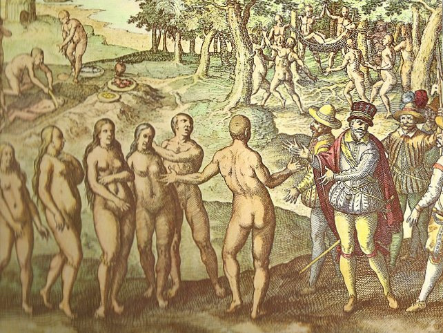
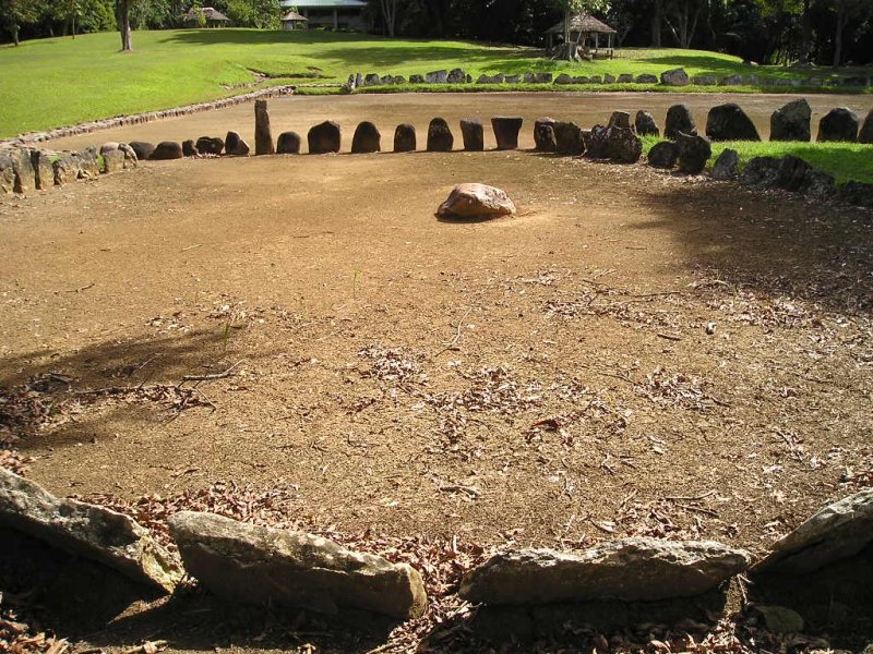
The Taíno are the Indigenous peoples of the Caribbean, Indigenous peoples of the Greater Antilles and surrounding islands. At the time of European contact in the late 15th century, they were the principal inhabitants of most of what is now The Bahamas, Cuba, the Dominican Republic, Haiti, Jamaica, Puerto Rico, and the northern Lesser Antilles. The Lucayan people, Lucayan branch of the Taíno were the first New World peoples encountered by Christopher Columbus, in the Lucayan Archipelago, Bahama Archipelago on October 12, 1492. The Taíno historically spoke an Arawakan languages, Arawakan language. Granberry and Vescelius (2004) recognized two varieties of the Taino language: "Classical Taino", spoken in Puerto Rico and most of Hispaniola, and "Ciboney Taino", spoken in the Bahamas, most of Cuba, western Hispaniola, and Jamaica. They lived in agricultural societies ruled by caciques with fixed settlements and a Matrilineality, matrilineal system of kinship and inheritance. Taíno ... [...More Info...] [...Related Items...] OR: [Wikipedia] [Google] [Baidu] |
Cat Island, Bahamas
Cat Island is located in Bahamas, the Bahamas, and is one of its Districts of the Bahamas, districts. Cat Island also has the nation's highest point, Mount Alvernia (formerly known as Como Hill). It rises to and is topped by a monastery called ''The Hermitage''. This assembly of buildings was erected by the Franciscan "Brother Jerome" (John Hawes). History The indigenous Lucayan people called the island ''Guanima'', meaning "middle waters land". The first white settlers were Loyalist (American Revolution), Loyalists fleeing the American Revolution, who arrived in 1783. The island may have been named after Arthur Catt, a pirate, or may be a reference to its one-time large population of feral cat, feral cats. Historically, the island gained wealth from cotton plantations, but slash and burn farming is now the main way of life for Cat Islanders. An economic crop is ''Croton eluteria'' (called also cascarilla) bark, which is gathered and shipped to Italy where it becomes a main ing ... [...More Info...] [...Related Items...] OR: [Wikipedia] [Google] [Baidu] |
American Revolution
The American Revolution (1765–1783) was a colonial rebellion and war of independence in which the Thirteen Colonies broke from British America, British rule to form the United States of America. The revolution culminated in the American Revolutionary War, which was launched on April 19, 1775, in the Battles of Lexington and Concord. Leaders of the American Revolution were Founding Fathers of the United States, colonial separatist leaders who, as British subjects, initially Olive Branch Petition, sought incremental levels of autonomy but came to embrace the cause of full independence and the necessity of prevailing in the Revolutionary War to obtain it. The Second Continental Congress, which represented the colonies and convened in present-day Independence Hall in Philadelphia, formed the Continental Army and appointed George Washington as its commander-in-chief in June 1775, and unanimously adopted the United States Declaration of Independence, Declaration of Independence ... [...More Info...] [...Related Items...] OR: [Wikipedia] [Google] [Baidu] |
Loyalist (American Revolution)
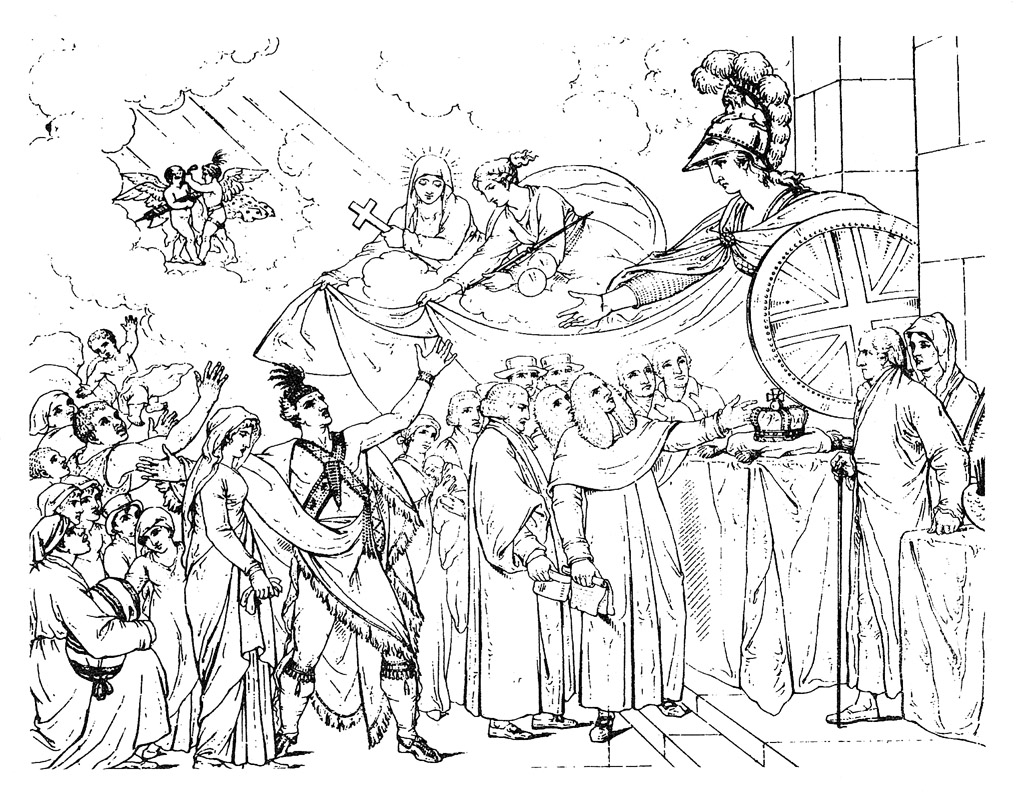
Loyalists were refugee colonists from Thirteen Colonies, thirteen of the 20 British American colonies who remained loyal to the British Crown, British crown during the American Revolution, often referred to as Tories, Royalists, or King's Men at the time. They were opposed by the Patriot (American Revolution), Patriots or Whigs, who supported the revolution and considered them "persons inimical to the liberties of America." Prominent Loyalists repeatedly assured the Government of the United Kingdom, British government that many thousands of them would spring to arms and fight for the Crown. The British government acted in expectation of that, especially during the Southern theater of the American Revolutionary War, Southern campaigns of 1780 and 1781. Britain was able to effectively protect the people only in areas where they had military control, thus the number of military Loyalists was significantly lower than what had been expected. Loyalists were often under suspicion of t ... [...More Info...] [...Related Items...] OR: [Wikipedia] [Google] [Baidu] |
Lucayans
The Lucayan people ( ) were the original residents of The Bahamas and the Turks and Caicos Islands before the European colonisation of the Americas. They were a branch of the Taínos who inhabited most of the Caribbean islands at the time. The Lucayans were the first Indigenous Americans encountered by Christopher Columbus (in October 1492). Shortly after contact, the Spanish kidnapped and enslaved Lucayans with the displacement culminating in the complete eradication of the Lucayan people from the Bahamas by 1520. The name "Lucayan" is an Anglicization of the Spanish ''Lucayos'', itself a hispanicization derived from the Lucayan ''Lukku-Cairi'', which the people used for themselves, meaning "people of the islands". The Taíno word for "island", ''cairi'', became ''cayo'' in Spanish and "cay" in English pelled "key" in American English Some crania and artifacts of "Ciboney type" were reportedly found on Andros Island, but if some Ciboney did reach the Bahamas ahead of the ... [...More Info...] [...Related Items...] OR: [Wikipedia] [Google] [Baidu] |
Mangrove Swamps
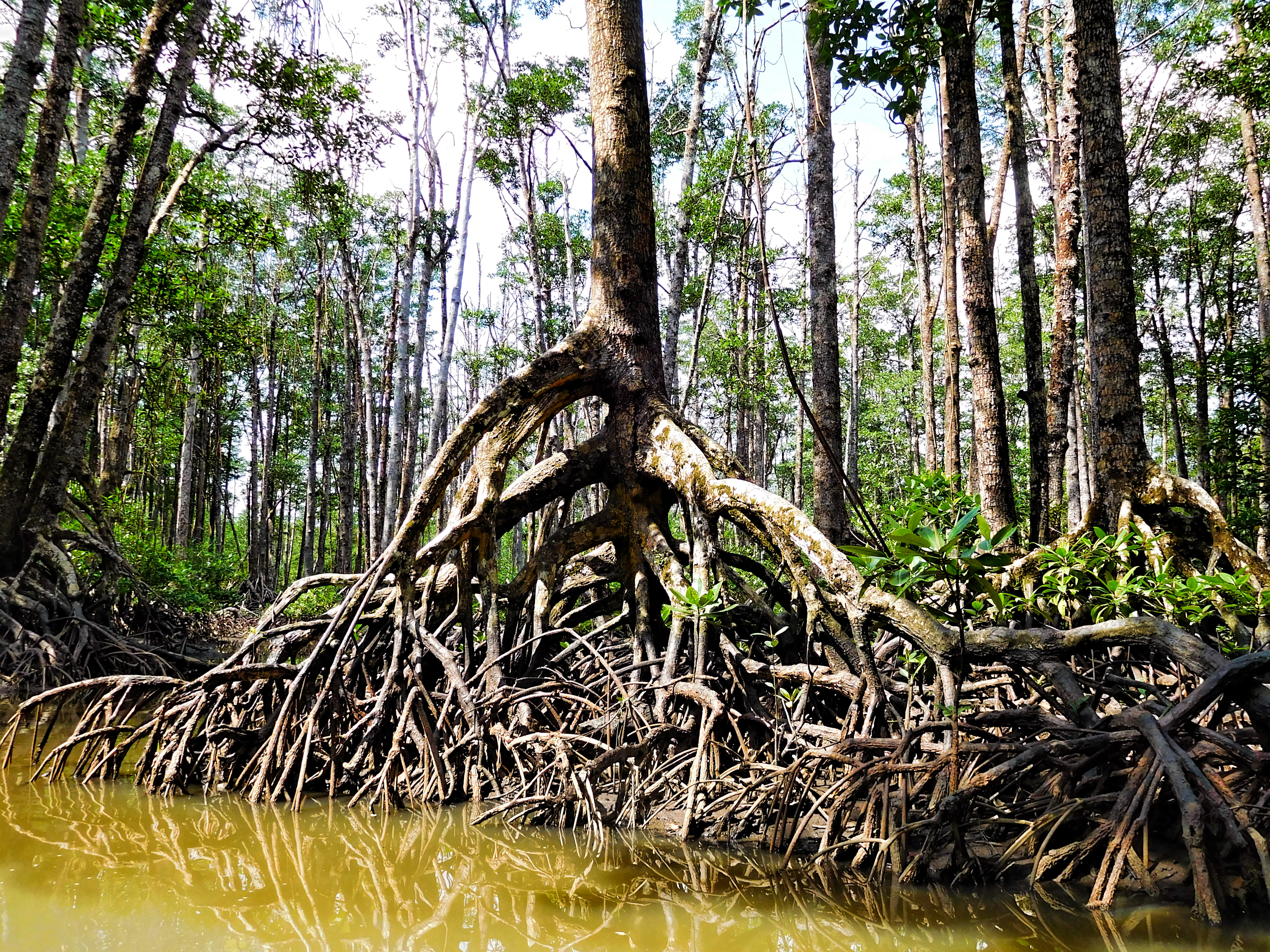
A mangrove is a shrub or tree that grows mainly in coastal saline or brackish water. Mangroves grow in an equatorial climate, typically along coastlines and tidal rivers. They have particular adaptations to take in extra oxygen and remove salt, allowing them to tolerate conditions that kill most plants. The term is also used for tropical coastal vegetation consisting of such species. Mangroves are taxonomically diverse due to convergent evolution in several plant families. They occur worldwide in the tropics and subtropics and even some temperate coastal areas, mainly between latitudes 30° N and 30° S, with the greatest mangrove area within 5° of the equator. Mangrove plant families first appeared during the Late Cretaceous to Paleocene epochs and became widely distributed in part due to the movement of tectonic plates. The oldest known fossils of mangrove palm date to 75 million years ago. Mangroves are salt-tolerant ( halophytic) and are adapted to live in har ... [...More Info...] [...Related Items...] OR: [Wikipedia] [Google] [Baidu] |
