|
41st Division (Philippines)
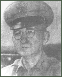
The 41st Infantry Division was a division of the Philippine Army under the United States Army Forces in the Far East (USAFFE). Organization The division had an authorized strength of 7,500 men. As of March 1942, the division had fewer than 6,000 men. The 41st Field Artillery Regiment had sixteen 75-mm. guns and eight 2.95-inch pack howitzers. History It was active from August 28, 1941 to April 9, 1942, whereupon it surrendered when Bataan fell. Previously it was active in the City of Manila, Southern Luzon. BGen. Vicente P. Lim (PA) (USMA, 1914) was the division's commander, and Col. Malcolm V. Fortier was the division's Senior Instructor, desperately trying to get the new recruits of the division (nearly the entire cadre) up to par in a record amount of time. By 4 November 1941, the 41st was put under the South Luzon Force (SLF) under the command of BGen. George M. Parker, along with the 51st Division and the Battery A of 86th FA of the Philippine Scouts. The firs ... [...More Info...] [...Related Items...] OR: [Wikipedia] [Google] [Baidu] |
Philippine Commonwealth Army Flag
The Philippines, officially the Republic of the Philippines, is an Archipelagic state, archipelagic country in Southeast Asia. Located in the western Pacific Ocean, it consists of List of islands of the Philippines, 7,641 islands, with a total area of roughly 300,000 square kilometers, which are broadly categorized in Island groups of the Philippines, three main geographical divisions from north to south: Luzon, Visayas, and Mindanao. With a population of over 110 million, it is the world's List of countries and dependencies by population, twelfth-most-populous country. The Philippines is bounded by the South China Sea to the west, the Philippine Sea to the east, and the Celebes Sea to the south. It shares maritime borders with Taiwan to the north, Japan to the northeast, Palau to the east and southeast, Indonesia to the south, Malaysia to the southwest, Vietnam to the west, and China to the northwest. It has Ethnic groups in the Philippines, diverse ethnicities and Culture o ... [...More Info...] [...Related Items...] OR: [Wikipedia] [Google] [Baidu] |
Manila
Manila, officially the City of Manila, is the Capital of the Philippines, capital and second-most populous city of the Philippines after Quezon City, with a population of 1,846,513 people in 2020. Located on the eastern shore of Manila Bay on the island of Luzon, it is classified as a Cities of the Philippines#Independent cities, highly urbanized city. With , Manila is one of the world's List of cities proper by population density, most densely populated cities proper. Manila was the first chartered city in the country, designated bPhilippine Commission Act No. 183on July 31, 1901. It became autonomous with the passage of Republic Act No. 409, "The Revised Charter of the City of Manila", on June 18, 1949. Manila is considered to be part of the world's original set of global cities because its commercial networks were the first to extend across the Pacific Ocean and connect Asia with the Hispanic America, Spanish Americas through the Manila galleon, galleon trade. This marked t ... [...More Info...] [...Related Items...] OR: [Wikipedia] [Google] [Baidu] |
Edward P
Edward is an English male name. It is derived from the Anglo-Saxon name ''Ēadweard'', composed of the elements '' ēad'' "wealth, fortunate; prosperous" and '' weard'' "guardian, protector”. History The name Edward was very popular in Anglo-Saxon England, but the rule of the Norman and Plantagenet dynasties had effectively ended its use amongst the upper classes. The popularity of the name was revived when Henry III named his firstborn son, the future Edward I, as part of his efforts to promote a cult around Edward the Confessor, for whom Henry had a deep admiration. Variant forms The name has been adopted in the Iberian peninsula since the 15th century, due to Edward, King of Portugal, whose mother was English. The Spanish/Portuguese forms of the name are Eduardo and Duarte. Other variant forms include French Édouard, Italian Edoardo and Odoardo, German, Dutch, Czech and Romanian Eduard and Scandinavian Edvard. Short forms include Ed, Eddy, Eddie, Ted, Teddy an ... [...More Info...] [...Related Items...] OR: [Wikipedia] [Google] [Baidu] |
Pantingan River Massacre
The Pantingan River massacre ( Filipino: ''Pagpatay sa Ilog Pantingan'') was the mass execution of Filipino and American officers and non-commissioned officers Prisoners-of-War by members of the Imperial Japanese Army during the Bataan Death March on April 12, 1942, in Bagac, Bataan. Several hundred soldiers from the Philippine Commonwealth Army's 1st, 11th, 71st, and 91st Divisions on the march to the north of Mount Samat where the Pantingan River crosses the Pilar- Bagac Road were taken to the riverside. Most of them were hog tied with telephone wire, shot, bayoneted or beheaded by the Imperial Japanese Army. The atrocity was attributed to Japanese Colonel Masanobu Tsuji, who oversaw it. Following Tsuji's abnormal order, which was considered to be a war crime and beyond his commission, the Japanese 122nd Regiment of 65th Brigade executed the US and Philippine soldiers in the Pantingan River. Colonel Takeo Imai, of another Japanese regiment, doubted the authority of the orde ... [...More Info...] [...Related Items...] OR: [Wikipedia] [Google] [Baidu] |
91st Division (Philippines)
The 91st Infantry Division was a division of the Philippine Army under the United States Army Forces in the Far East (USAFFE). Organization History It was active from 1941 to April 9, 1942, whereupon it surrendered when Bataan fell. Col. (later BGen.) Luther R. Stevens (PA) was the division's commander, and Col. Edgar H. Keltner, Inf., was Chief of Staff. The unit was activated in Leyte and was transferred in November 1941 to Luzon taking only 91st, 92nd Infantry Regiments, and 91st Field Artillery Regiment. 93rd Regiment was left behind as it was still being mobilized. Eventually 93rd was transferred to Mindanao by General Sharp commander of Visayan-Mindanao Force leaving only newly recruits and PC units defending in Leyte-Samar area. Additional supporting units area attached when the division reached Luzon. Division Staffs Colonel Stuart MacDonald was acting commander and Lieutenant Colonel Jaime Velasquez as Chief of Staff when the division as organized in Leyte in ... [...More Info...] [...Related Items...] OR: [Wikipedia] [Google] [Baidu] |
Mount Samat
Mount Samat () is a mountain in the town of Pilar, Bataan, Philippines. Located near its summit is the Mount Samat National Shrine, a national shrine dedicated to the fallen Filipino and American fallen during World War II. Geology Mount Samat is a parasitic cone of Mount Mariveles with no record of historical eruption. The summit of Mount Samat is NNE of the Mariveles caldera. . Retrieved on June 8, 2012. Mount Samat itself has a wide crater that opens to the northeast. The Mount Samat Cross is situated near the edge of the crater rim. Historical significance |
Pilar, Bataan
Pilar, officially the Municipality of Pilar (), is a municipality in the province of Bataan, Philippines. According to the 2020 census, it has a population of 46,239 people. Etymology The town was named in the honor of the image of the Our Lady of the Pillar, hence the town was called "Pilar". History One of the oldest towns of Bataan, Pilar was previously part of Pampanga. Spaniards in the galleon landed in a ''sitio'' of Balanga and were greeted by the natives. Geography Pilar is located in eastern part of Bataan Peninsula, bordering Balanga (the provincial capital) to the north, Orion to the south, Bagac to the west, and Manila Bay to the east. It is from Balanga and from Manila. The Bataan Government Center and the historic Mount Samat National Shrine (''Dambana ng Kagitingan'') are both situated within the municipality in Barangays Diwa and Ala-uli, respectively. According to the Philippine Statistics Authority, the municipality has a land area of constituting ... [...More Info...] [...Related Items...] OR: [Wikipedia] [Google] [Baidu] |
Mount Natib
Mount Natib is a dormant stratovolcano and caldera complex in the Zambales Mountains on western Luzon Island of the Philippines. Occupying the northern portion of the Bataan Peninsula, the mountain and adjacent surrounding is a protected area first declared as the Bataan National Park in 1945.Mt. Natib" . Bataan...Raging Peninsula. Retrieved on 2012-02-21. Physical features Mount Natib is a type of volcano topped by a acorn-shaped Natib that is open to the northwest. East of its caldera is the smaller wide Pasukulan Caldera. Th ...[...More Info...] [...Related Items...] OR: [Wikipedia] [Google] [Baidu] |
Abucay, Bataan
Abucay, officially the Municipality of Abucay, (), is a municipality in the province of Bataan, Philippines. According to the 2020 census, it has a population of 42,984 people. History The first printing press in the archipelago was found in this town. Tomas Pinpin, the first Filipino printer, learned the art from Fray Francisco Blanca de San Jose and Juan de Vera, a Chinese printer at the University of Santo Tomas. On June 23, 1647, a fierce battle was fought between the Dutch invaders and the Pampango defenders in the near the Abucay church area. Nearly 200 Pampangos were put to death and 40 others together with Pampanga’s Spanish ''alcalde mayor'' (town mayor) Antonio de Cabrera. Dominican priests Father Geronimo Sotomayor and Father Tomas Ramos were taken to Batavia.admin (2012-06-25)"Abucay Church (Parish of St. Dominic de Guzman), Bataan". Philippine Churches. Retrieved on 2014-12-18. Geography The Municipality of Abucay borders Balanga (the capital city) to the so ... [...More Info...] [...Related Items...] OR: [Wikipedia] [Google] [Baidu] |
War Plan Orange
War Plan Orange (commonly known as Plan Orange or just Orange) was a series of United States Joint Army and Navy Board war plans for dealing with a possible war with Imperial Japan during the years between the First and Second World Wars. It failed to foresee the significance of the technological changes to naval warfare, including the submarine, air support and aircraft carriers, and although the Battle of Midway was important, and the US Navy did " island-hop" to regain lost territory, there was no culminating "showdown" battle as anticipated by Plan Orange. Development Informal studies as early as 1906 covered a number of possibilities, from basing at Gibraltar or Singapore (an idea revived by the British before World War II) to "a quick trans-Atlantic dash" to the Pacific.Holwitt, p.131. The plan eventually adopted was conceived by Rear Admiral Raymond P. Rodgers in 1911. * 19 Dec 1919: Strategy of the Pacific (JB 325, Serial 28) * 7 Jul 1923: Estimate of the Situation, O ... [...More Info...] [...Related Items...] OR: [Wikipedia] [Google] [Baidu] |
Lamon Bay
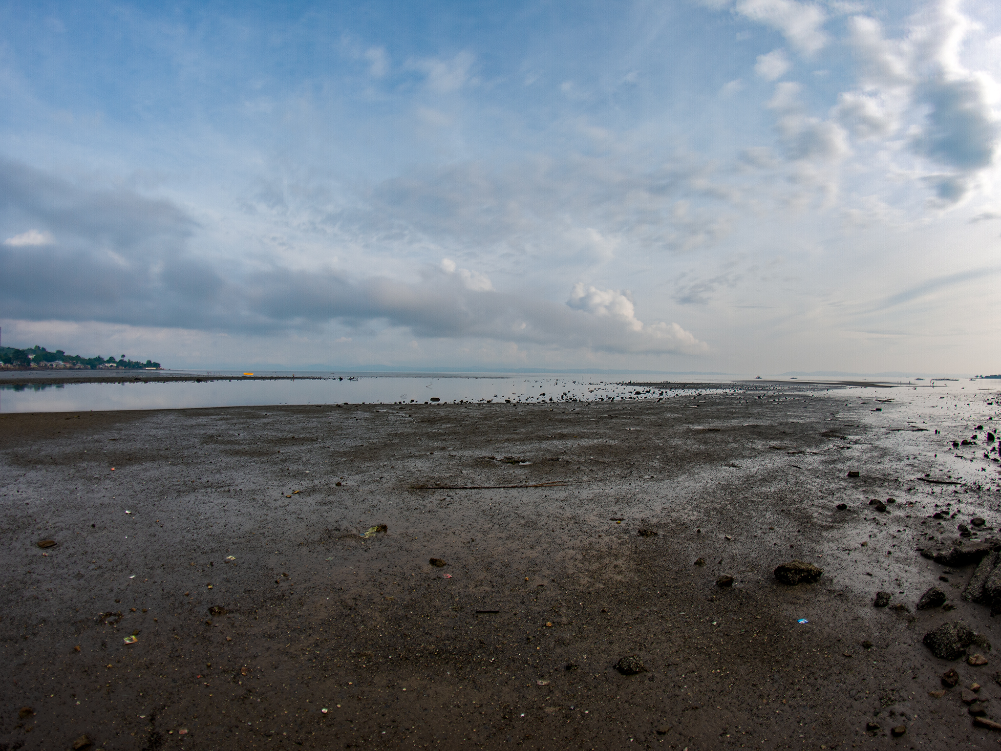
Lamon Bay is a large bay in the southern part of Luzon island in the Philippines. It is a body of water connecting the southern part of Quezon province to the Philippine Sea, a marginal sea of the Pacific Ocean. It borders on the coastal towns of Atimonan, Gumaca, Plaridel, Lopez, Calauag, and the islands of Alabat. It is a rich fishing ground and the home of various living corals. Most parts of the bay consist of gray sand, some parts are filled with rocks, and other living corals. It is gradually sloping to the extent that, during low tide, the water level is low enough to allow one to walk as far as five hundred metres from the shore like in Pulong Pasig of Calauag. The beaches in the towns of Gumaca and Plaridel are sandy and ideal for swimming.. White-sand beaches are found in the villages of Capaluhan, Santo Angel, Talingting, Pangahoy, and Dapdap of Calauag. In some parts of the bay, about ten feet from the beach front, are living corals. The town of Lopez has colon ... [...More Info...] [...Related Items...] OR: [Wikipedia] [Google] [Baidu] |


