|
2021 Earthquakes
{{Infobox earthquakes in year, year=2021, 9.0+=0, 4.0–4.9=14,643, 5.0–5.9=2,046, 6.0–6.9=141, 7.0–7.9=16, 8.0–8.9=3, strongest=8.2 {{M, w, link=y {{flagicon, United States2021 Chignik earthquake, United States, deadliest={{nowrap, 7.2 Moment magnitude scale, Mw {{flagicon, Haiti 2021 Haiti earthquake, Haiti 2,248 deaths, location_map=Earth, fatalities=2,491, location_map_places= {{Location map~, Earth, mark = Green pog.svg, lat_deg = 28.232, lon_deg = 104.189 {{Location map~, Earth, mark = Green pog.svg, lat_deg = -2.757, lon_deg = 122.240 {{Location map~, Earth, mark = Green pog.svg, lat_deg = 45.431, lon_deg = 16.244 {{Location map~, Earth, mark = Green pog.svg, lat_deg = 40.116, lon_deg = 33.275 {{Location map~, Earth, mark = Green pog.svg, lat_deg = -2.981, lon_deg = 118.894 {{Location map~, Earth, mark = Green pog.svg, lat_deg = 26.926, lon_deg = 55.186 {{Location map~, Earth, mark = Green pog.svg, lat_deg = 26.926, lon_deg = 55.186 {{Location map~, Earth, mark = Gr ... [...More Info...] [...Related Items...] OR: [Wikipedia] [Google] [Baidu] |
2021 Chignik Earthquake
An earthquake occurred off the coast of the Alaska Peninsula on July 28, 2021, at 10:15 p.m. Alaska Time Zone, local time. The large megathrust earthquake had a moment magnitude () of 8.2 according to the United States Geological Survey (USGS). A tsunami warning was issued by the National Oceanic and Atmospheric Administration (NOAA) but later cancelled. The mainshock was followed by a number of aftershocks, including three that were of magnitude 5.9, 6.1 and 6.9 respectively. This was the largest earthquake in the United States since the 1965 Rat Islands earthquake, and the 7th largest earthquake in U.S. history. It was also the strongest earthquake globally since the 2015 Illapel earthquake, tying the 2017 Chiapas earthquake and 2018 Fiji earthquake. No casualties or serious damage were reported in the aftermath of the mainshock, as well as some of the strong aftershocks. In Perryville, Alaska, Perryville, the closest populated area to the quake, cracks appeared in drywal ... [...More Info...] [...Related Items...] OR: [Wikipedia] [Google] [Baidu] |
List Of Earthquakes In 2012
This is a list of earthquakes in 2012. Only earthquakes of magnitude 6 or above are included, unless they result in damage or casualties, or are notable for some other reason. All dates are listed according to UTC time. Two huge 8 magnitude earthquakes (8.6 and 8.2) struck Indonesia in April, but caused little damage, and no tsunami. The deadliest quake occurred in Iran, while other destructive tremors were observed in Guatemala, Philippines, or China. Compared to other years Overall By death toll * Note: At least 10 casualties By magnitude * Note: At least 7.0 magnitude By month January February * A 2012 Negros earthquake, magnitude 6.7 earthquake struck near island of Negros (island), Negros, and Cebu, Philippines on February 6, at a depth of 20 km, killing 113 people.US ... [...More Info...] [...Related Items...] OR: [Wikipedia] [Google] [Baidu] |
2021 West Sulawesi Earthquake
A Moment magnitude scale, moment magnitude () 6.2 earthquake struck Majene Regency in West Sulawesi, Indonesia, on 15 January 2021, at 02:28 Time in Indonesia, WITA (18:28 UTC). The reverse faulting shock initiated at depth with an epicenter inland, located south of Mamuju (city), Mamuju. It was preceded by a 5.7 foreshock several hours prior. Shaking from the mainshock was assigned a maximum Modified Mercalli intensity of VI (''Strong'') in Majene and Mamuju. Four of the five regencies in West Sulawesi were affected. More than 6,000 structures were damaged or destroyed; damage was estimated at Rp829.1 billion rupiah. At least 105 people were confirmed dead; nearly 6,500 were injured and thousands were displaced. Tectonic setting Sulawesi lies within the complex zone of interaction between the Australian plate, Australian, Pacific plate, Pacific, Philippine Sea plate, Philippine and Sunda plates in which many small microplates have developed. The main active structure onsh ... [...More Info...] [...Related Items...] OR: [Wikipedia] [Google] [Baidu] |
West Sulawesi
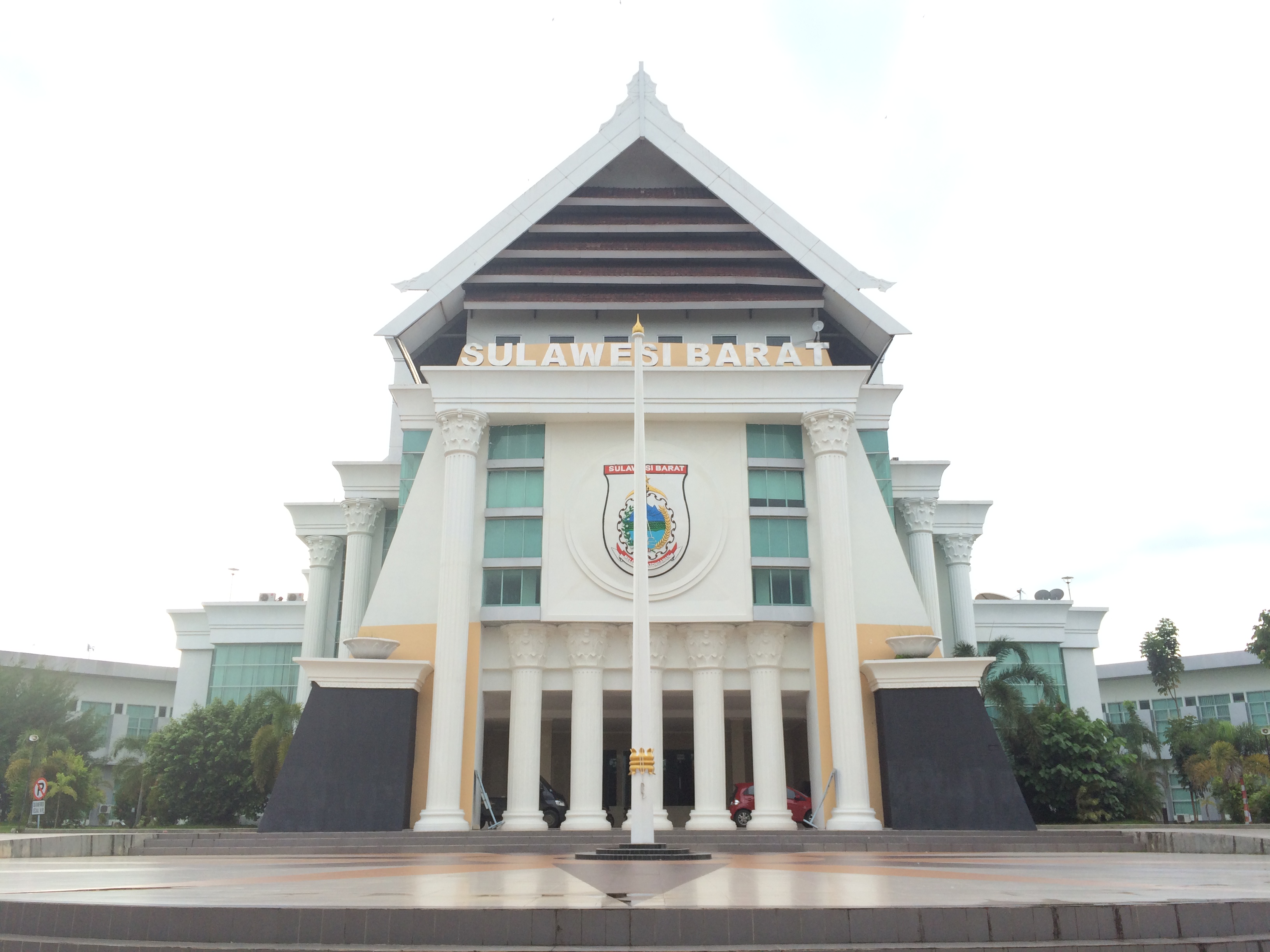
West Sulawesi (), covering a land area of 17,152.99 km2 with its capital at Mamuju, is a province of Indonesia on the western side of Sulawesi (formerly Celebes) island, consisting 6 regencies ('' kabupaten''), namely Polewali Mandar, Mamasa, Majene, Mamuju, Central Mamuju and Pasangkayu (formerly called North Mamuju). History On 11 December 2019, a team of researchers led by Dr. Maxime Aubert announced the discovery of the oldest hunting scenes in prehistoric art in the world which is more than 44,000 years old from the limestone cave of Leang Bulu’ Sipong 4. Archaeologists determined the age of the depiction of hunting a pig and buffalo thanks to the calcite ‘popcorn’, different isotope levels of radioactive uranium and thorium. Geography The West Sulawesi Province, borders the provinces of South Sulawesi and Central Sulawesi to the east, Makassar Strait to the west, and the Pacific Ocean to the south. The province also shares maritime borders with ... [...More Info...] [...Related Items...] OR: [Wikipedia] [Google] [Baidu] |
Nippes
Nippes (French language, French, ) or Nip (Haitian Creole) is one of the ten Departments of Haiti, departments (the highest-level political subdivisions) of Haiti located in southern Haiti. It is the most recently created department, having been split from Grand'Anse (department), Grand'Anse in 2003. The capital of the department is Miragoâne, and it is the least populous department in Haiti. History Haitian Period Being created from Grand'Anse most of Nippes' history is similar to Grand'Anse's. Nippes during the Haitian Revolution played a big role with marron troops led by notablPlymoutha Jamaican Maroons, Jamaican later on was in Haiti. Independence Étienne Gérin from Miragwàn is a signatory of the Haitian Declaration of Independence. During the Haitian Civil war between Alexandre Pétion, Pétion and Henri Christophe, Henry 1st, André Rigaud came back to Haiti from France and was disappointed by Pétion's laissez-faire politics and created a de facto republic, the Me ... [...More Info...] [...Related Items...] OR: [Wikipedia] [Google] [Baidu] |
Modified Mercalli Intensity Scale
The Modified Mercalli intensity scale (MM, MMI, or MCS) measures the effects of an earthquake at a given location. This is in contrast with the seismic magnitude usually reported for an earthquake. Magnitude scales measure the inherent force or strength of an earthquake — an event occurring at greater or lesser depth. (The "" scale is widely used.) The MMI scale measures intensity of shaking, at any particular location, on the surface. It was developed from Giuseppe Mercalli's Mercalli intensity scale of 1902. While shaking experienced at the surface is caused by the seismic energy released by an earthquake, earthquakes differ in how much of their energy is radiated as seismic waves. They also differ in the depth at which they occur; deeper earthquakes have less interaction with the surface, their energy is spread throughout a larger volume, and the energy reaching the surface is spread across a larger area. Shaking intensity is localised. It generally diminishes with dist ... [...More Info...] [...Related Items...] OR: [Wikipedia] [Google] [Baidu] |
List Of Earthquakes In 2020
This is a list of earthquakes in 2020. Only earthquakes of magnitude 6 or above are included, unless they result in damage and/or casualties, or are notable for other reasons. All dates are listed according to UTC time. Maximum intensities are indicated on the Modified Mercalli intensity scale and are sourced from United States Geological Survey (USGS) Strong ground motion, ShakeMap data. For the second consecutive year, activity was well below average, with only nine major quakes, it was also the first year since 2016 with no magnitude 8.0+ earthquakes. With just over 200 deaths reported, it is the least deadliest year in the 21st century for earthquakes, but almost all of them came from Turkey, struck by three deadly events. In the last days of the year, Croatia experienced 2020 Petrinja earthquake, one of its strongest earthquakes in its history, with casualties and structural damage. Compared to other years An increase in detected earthquake numbers does not necessarily rep ... [...More Info...] [...Related Items...] OR: [Wikipedia] [Google] [Baidu] |
List Of Earthquakes In 2019
{{Infobox earthquakes in year, year=2019, location_map=Earth, location_map_places= {{Location map~, Earth, mark = Green pog.svg, lat_deg = 28.261, lon_deg = 104.984 {{Location map~, Earth, mark = Green pog.svg, lat_deg = 32.970, lon_deg = 130.469 {{Location map~, Earth, mark = Green pog.svg, lat_deg = 34.119, lon_deg = 45.681 {{Location map~, Earth, mark = Green pog.svg, lat_deg = -38.51, lon_deg = -68.91 {{Location map~, Earth, mark = Green pog.svg, lat_deg = -5.488, lon_deg = 133.765 {{Location map~, Earth, mark = Green pog.svg, lat_deg = -14.525, lon_deg = -75.386 {{Location map~, Earth, mark = Green pog.svg, lat_deg = -14.525, lon_deg = -75.386 {{Location map~, Earth, mark = Green pog.svg, lat_deg = 2.990, lon_deg = -75.769 {{Location map~, Earth, mark = Green pog.svg, lat_deg = 51.571, lon_deg = 16.158 {{Location map~, Earth, mark = Green pog.svg, lat_deg = 40.933, lon_deg = 48.624 {{Location map~, Earth, mark = Green pog.svg, lat_deg = 27.075, lon_deg = 55.541 {{Location map ... [...More Info...] [...Related Items...] OR: [Wikipedia] [Google] [Baidu] |
List Of Earthquakes In 2018
This is a list of earthquakes in 2018. Only earthquakes of magnitude 6 or above are included, unless they result in damage and/or casualties, or are notable for other reasons. All dates are listed according to UTC time. Maximum intensities are indicated on the Mercalli intensity scale and are sourced from United States Geological Survey (USGS) ShakeMap data. In a busy year with 17 major quakes, Indonesia was hit particularly hard. More than 500 people died in Lombok in August and a major earthquake struck the Palu region in September, with more than 4,000 casualties caused mainly by liquefaction and a tsunami. Other deadly events took place in Papua New Guinea, Japan, Haiti, Taiwan and Mexico. The strongest quake with a magnitude of 8.2 occurred in Fiji, at a great depth of . Compared to previous years An increase in detected earthquake numbers does not necessarily represent an increase in earthquakes ''per se''. Population increase, habitation spread, and advances in earthqua ... [...More Info...] [...Related Items...] OR: [Wikipedia] [Google] [Baidu] |
List Of Earthquakes In 2017
This is a list of earthquakes in 2017. Only earthquakes of magnitude 6 or above are included, unless they result in damage and/or casualties, or are notable for some other reason. All dates are listed according to UTC time. Maximum intensities are indicated on the Mercalli intensity scale and are sourced from United States Geological Survey (USGS) ShakeMap data. Major events took place in Iran and Mexico, with the latter experiencing two such events, one of them exceeding magnitude 8. Compared to other years An increase in detected earthquake numbers does not necessarily represent an increase in earthquakes ''per se''. Population increase, habitation spread, and advances in earthquake detection technology all contribute to higher earthquake numbers being recorded over time. By death toll Listed are earthquakes with at least 10 dead. By magnitude Listed are earthquakes with at least 7.0 magnitude. By month January February March April May June ... [...More Info...] [...Related Items...] OR: [Wikipedia] [Google] [Baidu] |
List Of Earthquakes In 2016
This is a list of earthquakes in 2016. Only earthquakes of magnitude 6 or above are included, unless they result in damage and/or casualties, or are notable for some other reason. All dates are listed according to UTC time. Maximum intensities are indicated on the Mercalli intensity scale and are sourced from United States Geological Survey (USGS) ShakeMap data. Major events took place in Ecuador, Italy, Taiwan, Indonesia and New Zealand this year, while the strongest tremor was observed in Papua New Guinea. 2016 was also the first year since 2002 with no magnitude 8+ earthquakes. Compared to other years An increase in detected earthquake numbers does not necessarily represent an increase in earthquakes ''per se''. Population increase, habitation spread, and advances in earthquake detection technology all contribute to higher earthquake numbers being recorded over time. By death toll Listed are earthquakes with at least 10 dead. By magnitude Listed are earthquakes with at ... [...More Info...] [...Related Items...] OR: [Wikipedia] [Google] [Baidu] |


