|
2011 North American Heat Wave
The 2011 North American heat wave was a deadly summer 2011 heat wave that affected the Southern Plains, the Midwestern United States, Eastern Canada, the Northeastern United States, and much of the Eastern Seaboard, and had Heat index/Humidex readings reaching upwards of . On a national basis, the heat wave was the hottest in 75 years. July 2011 Before the start of the heat wave, two derecho events took place; one on July 11 over most of the central Plains, the lower Great Lakes and the Appalachian region; the other on July 17 over eastern Ontario, southern Quebec and northern New England. Such forcing events often occur on the northern periphery of vast areas of continental heat domes that move northward during the summer months. On July 19, 2011, the highest dew point in Minnesota occurred at . On July 21, 2011, hot weather over the past week culminated into record-breaking temperatures across the province of Ontario, also in Michigan, Ohio, upstate New York and Quebec, shatte ... [...More Info...] [...Related Items...] OR: [Wikipedia] [Google] [Baidu] |
South Central United States
The West South Central states, colloquially known as the South Central states, is a region of the United States defined by the U.S. Census Bureau as covering four states: Arkansas, Louisiana, Oklahoma, and Texas. The West South Central or South Central region is located within the Southern United States and Gulf Coast regions, bordering the Mountain states and Midwestern U.S. regions to its north and west. The Gulf of Mexico is to the south of the region. Houston is the South Central's largest city, and the Dallas–Fort Worth–Arlington metropolitan statistical area is the region's largest metropolis. A geographically diverse region, the southern portion of the states are covered by coastal plains and swamps, while the remainder is covered by forests such as the Cross Timbers, hills and mountains, and deserts near the Texas–Mexico border. With European colonization of the Americas, this region of the U.S. has been heavily influenced by the French and Spanish. With ... [...More Info...] [...Related Items...] OR: [Wikipedia] [Google] [Baidu] |
Philadelphia
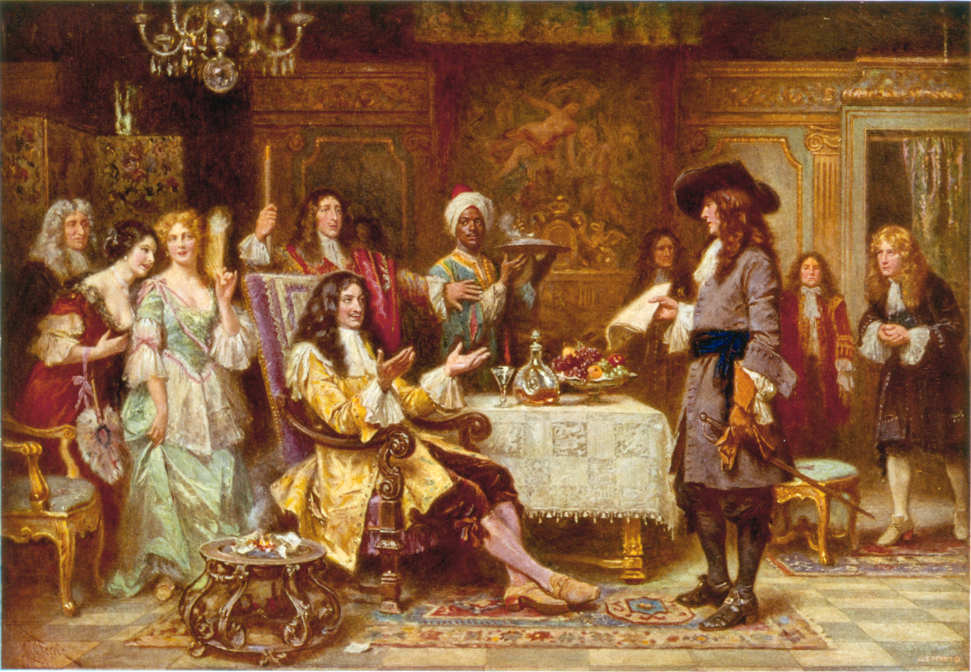
Philadelphia ( ), colloquially referred to as Philly, is the List of municipalities in Pennsylvania, most populous city in the U.S. state of Pennsylvania and the List of United States cities by population, sixth-most populous city in the United States, with a population of 1,603,797 in the 2020 United States census, 2020 census. The city is the urban core of the Philadelphia metropolitan area (sometimes called the Delaware Valley), the nation's Metropolitan statistical area, seventh-largest metropolitan area and ninth-largest combined statistical area with 6.245 million residents and 7.379 million residents, respectively. Philadelphia was founded in 1682 by William Penn, an English Americans, English Quakers, Quaker and advocate of Freedom of religion, religious freedom, and served as the capital of the Colonial history of the United States, colonial era Province of Pennsylvania. It then played a historic and vital role during the American Revolution and American Revolutionary ... [...More Info...] [...Related Items...] OR: [Wikipedia] [Google] [Baidu] |
Bluffton, Texas
Bluffton is an unincorporated community in Llano County, Texas, United States. According to the Handbook of Texas, the community had an estimated population of 75 in 2000. In the 2020 Census, the population was reported to be 180. Bluffton is located at the intersection of RM 2241 and Texas State Highway 261 near the western shore of Lake Buchanan, approximately twelve miles northeast of Llano. Bluffton has a post office, with the ZIP code 78607. Public education in the community of Bluffton is provided by the Burnet Consolidated Independent School District. History Bluffton's original town site is today submerged by Lake Buchanan. When the Buchanan Dam The Buchanan Dam () is a multiple arch dam located on the Colorado River of Texas. The dam forms Lake Buchanan and was the first dam to be completed in the chain of Texas Highland Lakes. The dam is used for generating hydroelectric power and ... was completed in 1939, it flooded the original townsite. Beginning ... [...More Info...] [...Related Items...] OR: [Wikipedia] [Google] [Baidu] |
Delaware
Delaware ( ) is a U.S. state, state in the Mid-Atlantic (United States), Mid-Atlantic and South Atlantic states, South Atlantic regions of the United States. It borders Maryland to its south and west, Pennsylvania to its north, New Jersey to its northeast, and the Atlantic Ocean to its east. The state's name derives from the adjacent Delaware Bay, which in turn was named after Thomas West, 3rd Baron De La Warr, an English nobleman and the Colony of Virginia's first colonial-era governor. Delaware occupies the northeastern portion of the Delmarva Peninsula, and some islands and territory within the Delaware River. It is the List of U.S. states and territories by area, second-smallest and List of U.S. states and territories by population, sixth-least populous state, but also the List of U.S. states and territories by population density, sixth-most densely populated. Delaware's List of municipalities in Delaware, most populous city is Wilmington, Delaware, Wilmington, and the ... [...More Info...] [...Related Items...] OR: [Wikipedia] [Google] [Baidu] |
1936 North American Heat Wave
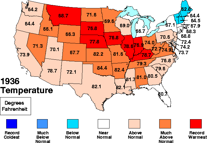
The 1936 North American heat wave was one of the most severe heat waves in the modern history of North America. It took place in the middle of the Great Depression and Dust Bowl of the 1930s and caused more than 5,000 deaths. Many state and city record high temperatures set during the 1936 heat wave stood until the 2012 North American heat wave. Many more endure to this day; as of 2022, 13 state record high temperatures were set in 1936. The 1936 heat wave followed one of the coldest winters on record. June 1936 High temperatures began briefly in the Northeast from June 1 to 3. On June 3, Allentown, Pennsylvania, had a high of ( above the average) while New York City had a high of . Baltimore, Maryland, had a high of , just below the daily record high set in 1925. As the month went on, heat began to build in the Rocky Mountains and over the Southeast. Western United States Salt Lake City, Utah, started off with below average temperatures but would see record highs of on ... [...More Info...] [...Related Items...] OR: [Wikipedia] [Google] [Baidu] |
Dust Bowl
The Dust Bowl was a period of severe dust storms that greatly damaged the ecology and agriculture of the American and Canadian prairies during the 1930s. The phenomenon was caused by a combination of natural factors (severe drought) and human-made factors: a failure to apply dryland farming methods to prevent aeolian processes, wind erosion, most notably the destruction of the natural topsoil by settlers in the region. The drought came in three waves: 1934–35 North American drought, 1934, 1936, and 1939–1940, but some regions of the High Plains (United States), High Plains experienced drought conditions for as long as eight years. It exacerbated Interwar farm crisis, an already existing agricultural recession. The Dust Bowl has been the subject of many cultural works, including John Steinbeck's 1939 novel ''The Grapes of Wrath''; the ''Dust Bowl Ballads'' of Woody Guthrie; and Dorothea Lange's photographs depicting the conditions of migrants, particularly ''Migrant Mothe ... [...More Info...] [...Related Items...] OR: [Wikipedia] [Google] [Baidu] |
Tornado
A tornado is a violently rotating column of air that is in contact with the surface of Earth and a cumulonimbus cloud or, in rare cases, the base of a cumulus cloud. It is often referred to as a twister, whirlwind or cyclone, although the word cyclone is used in meteorology to name a weather system with a low-pressure area in the center around which, from an observer looking down toward the surface of the Earth, winds blow counterclockwise in the Northern Hemisphere and clockwise in the Southern Hemisphere. Tornadoes come in many shapes and sizes, and they are often (but not always) visible in the form of a funnel cloud, condensation funnel originating from the base of a cumulonimbus cloud, with a cloud of rotating debris and dust beneath it. Most tornadoes have wind speeds less than , are about across, and travel several kilometers (a few miles) before dissipating. The Tornado records#Highest winds observed in a tornado, most extreme tornadoes can attain wind speeds of mo ... [...More Info...] [...Related Items...] OR: [Wikipedia] [Google] [Baidu] |
1980 United States Heat Wave
The 1980 United States heat wave was a period of intense heat and drought that wreaked havoc on much of the Midwestern United States and Southern Plains throughout the summer of 1980. It was among the most destructive and deadliest natural disasters in U.S. history, claiming at least 1,700 lives. Because of the massive drought, agricultural damage reached US$20 billion (equivalent to $ billion in dollars). It is among the billion-dollar weather disasters listed by the National Oceanic and Atmospheric Administration. Causes The heat wave began in June when a strong high pressure ridge began to build in the central and southern United States allowing temperatures to soar to almost every day from June to September. The high pressure system also acted as a cap on the atmosphere inhibiting the development of thunderstorm activity, leading to exceptionally severe drought conditions. The heat wave paused briefly when the decaying Hurricane Allen disrupted the prevailing weat ... [...More Info...] [...Related Items...] OR: [Wikipedia] [Google] [Baidu] |
Little Rock, Arkansas
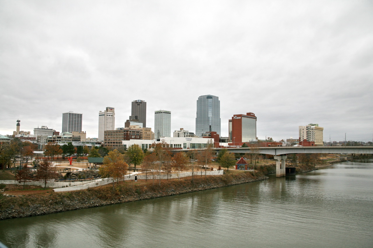
Little Rock is the List of capitals in the United States, capital and List of municipalities in Arkansas, most populous city of the U.S. state of Arkansas. The city's population was 202,591 as of the 2020 census. The six-county Central Arkansas, Little Rock metropolitan area is the Metropolitan statistical area, 81st-most populous in the United States with 748,031 residents according to the 2020 census. As the county seat of Pulaski County, Arkansas, Pulaski County, the city was incorporated on November 7, 1831, on the south bank of the Arkansas River close to the state's geographic center in Central Arkansas. The city derived its name from a rock formation along the river, named The Little Rock, the "Little Rock" by the French explorer Jean-Baptiste Bénard de la Harpe in 1722. The capital of the Arkansas Territory was moved to Little Rock from Arkansas Post, Arkansas, Arkansas Post in 1821. Little Rock is a cultural, economic, government, and transportation center within A ... [...More Info...] [...Related Items...] OR: [Wikipedia] [Google] [Baidu] |
Wilburton, Oklahoma
Wilburton is a city in Latimer County, Oklahoma, United States. It is the county seat of Latimer County. The city had a population of 2,285 as of the 2020 Census. Robbers Cave State Park is north of Wilburton.Johnston, Betty Wooldridge. ''Oklahoma Encyclopedia of History and Culture''. "Wilburton." Retrieved March 5, 201/ref> History The community now known as Wilburton was originally established as a group of settlers living around Riddle's Station, a stop for the Butterfield Overland Mail stagecoach along the trail from Fort Smith, Arkansas to Fort Worth, Texas. Riddle's Station was built in 1858 and the Overland Stage operated from 1857 to 1861. According to the ''Oklahoma Encyclopedia of History and Culture'', it was likely named for Will Burton, a contractor and surveyor who was involved in platting the townsite and building the Choctaw Coal and Railway Company line from Wister to McAlester. According to ''Oklahoma Place Names'', it was named after Elisha Wilbur, wh ... [...More Info...] [...Related Items...] OR: [Wikipedia] [Google] [Baidu] |
Poteau, Oklahoma
Poteau ( ) is a city in, and county seat of, LeFlore County, Oklahoma, United States. Its population was 8,520 as of the 2010 census. History In 1719, Bernard de la Harpe led a group of French explorers through this area, and gave the river its present name. The present-day city was founded in 1885, its name derived from the nearby Poteau River. During the late 1700s, a large French outpost was at Belle Point (Ft. Smith). Further up the Poteau River was a secondary post at the base of Cavanal Mountain. Because of this, the river was named the "Post River", or Poteau River, and the outpost was simply called the post, or "Poteau". ''Poteau'' is a French word meaning post.Harold Crain, "Poteau," ''Encyclopedia of Oklahoma History and Culture''. Accessed March 2 ... [...More Info...] [...Related Items...] OR: [Wikipedia] [Google] [Baidu] |


