|
2011 Middlesbrough Borough Council Election
The 2011 Middlesbrough Borough Council took place on Thursday 5 May 2011 to elect all 48 councillors, across 23 multi-member wards to Middlesbrough Borough Council. The Labour Party retained a majority on the council. Overall results A total of 63,433 valid votes were cast and there were 328 rejected ballots. The turnout was 36.35%. Council Composition After the election the composition of the council was: Results by ward Acklam Ayresome Beckfield Beechwood Brookfield Clairville Coulby Newham Gresham Hemlington Kader Ladgate Linthorpe Marton Marton West Middlehaven North Ormesby & Brambles Farm Nunthorpe Pallister Park Park End Stainton and Thornton Thorntree University References {{United Kingdom local elections, 2011 Middlesbrough ... [...More Info...] [...Related Items...] OR: [Wikipedia] [Google] [Baidu] |
Middlesbrough Borough Council
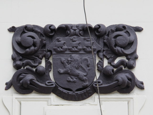
Middlesbrough Council, formerly known as Middlesbrough Borough Council, is a unitary authority based in Middlesbrough in North Yorkshire, England. The authority has combined some duties with its nearby councils to form the Tees Valley Combined Authority. The borough is often considered to be larger than current borough boundaries, with a total built-up population of 174,700. It is in the statistical region of North East England. The council's borough had a resident population in 2001 of 134,855. A 2006 mid-year estimate suggests the Borough to have a population of 138,400. The borough council unsuccessfully bid to achieve city status in 2012, to celebrate the Queen's Diamond Jubilee. History Middlesbrough Borough Council was formed on 1 April 1974, under the Local Government Act 1972, from part of the former County Borough of Teesside, along with the parish of Nunthorpe from the Stokesley Rural District. It was a district, and the county town of the new county of Cleveland fr ... [...More Info...] [...Related Items...] OR: [Wikipedia] [Google] [Baidu] |
Labour Party (UK)
The Labour Party is a List of political parties in the United Kingdom, political party in the United Kingdom that has been described as an alliance of Social democracy, social democrats, Democratic socialism, democratic socialists and trade unionists. The Labour Party sits on the Centre-left politics, centre-left of the political spectrum. In all general elections since 1922 United Kingdom general election, 1922, Labour has been either the governing party or the Her Majesty's Most Loyal Opposition (United Kingdom), Official Opposition. There have been six Labour List of prime ministers of the United Kingdom, prime ministers and thirteen Labour Cabinet of the United Kingdom, ministries. The party holds the annual Labour Party Conference, at which party policy is formulated. The party was founded in 1900, having grown out of the Labour movement, trade union movement and History of the socialist movement in the United Kingdom, socialist List of political parties in the United Kin ... [...More Info...] [...Related Items...] OR: [Wikipedia] [Google] [Baidu] |
Acklam, Middlesbrough
Acklam is an area in the Borough of Middlesbrough, North Yorkshire, England. It is believed that the settlement is Anglo-Saxon in origin, the name is Old English for "place at the oak clearings" or "place of oaks". At the 2011 census, the Acklam Ward had a population of 6,027 while Kader Ward had a population of 5,074. Brookfield Ward (Trimdon Ward since 2015) had a population of 5,712 while Ayresome Ward had 6,515. The four overall wards had a population of 23,328. History Manor of 1068 Acklam was referred to as "Aclun" in the 1086 ''Domesday Book''. A precursor to a civil parish, the 'manor' was eleven gold-taxed ploughlands, they would have been eleven settlements in the area. This manor's area had previously been owned by Earl Siward with the area passed to Hugh Earl of Chester in 1086. This manor's jurisdiction extended to over 24 plough-lands including Coulby farm, Hemlington, Stainton, Thornton, Maltby and Thornaby. Also listed were the later abandoned St ... [...More Info...] [...Related Items...] OR: [Wikipedia] [Google] [Baidu] |
Coulby Newham
Coulby Newham is an area in the Borough of Middlesbrough, North Yorkshire, England, with a resident population of 10,700, measured at 8,967 (Coulby Newham Ward) at the 2011 Census. It is in the TS8 postcode. History Early Coulby Newham began as farmland and this is reflected in the names of many of the streets such as Lingfield, Manor Farm Way and Paddock Wood. 'Colebi' and 'Nieweham', were separate medieval hamlets when identified in the Domesday Book of 1086, formerly covered this site. The agricultural legacy of the area, reminiscent indeed of that of the entire wider Middlesbrough area, is still touched on today by the working Newham Grange Leisure farm, itself harking as far back to life in this particular spot of rural Yorkshire as the 17th century. Modern By the 1970s, Middlesbrough's continual southerly urban expansion reached the area. The area's construction in 1978 was featured in the 1980 BBC TV Play for Today, Alan Bleasdale's "The Black Stuff". It is a black ... [...More Info...] [...Related Items...] OR: [Wikipedia] [Google] [Baidu] |
Hemlington
Hemlington is an area of Middlesbrough, North Yorkshire, England. It is centred around a lake and is in the Borough of Middlesbrough's south-western outskirts. In 2015, the Hemlington Ward had a population of 6,557, 4.74% of Middlesbrough's resident population. It is east of the Stainton and Thornton parish and partly in the parish's namesake ward: it is also west Coulby Newham. History A local hospital was set in the countryside until the late 1980s when it was closed and later demolished: it had been built in 1895 as an infectious control hospital but then during the wars was used for treatment of war injuries. Hemlington was built on farmland during the 1960s and expanded thereafter to provide affordable housing for the increasing population of Middlesbrough. Local facilities and amenities The main shopping centre is Viewley Hill Shopping Centre. The Parkway Centre, with facilities including a leisure centre, fast food restaurants, and DIY stores is in nearby Coulby Newh ... [...More Info...] [...Related Items...] OR: [Wikipedia] [Google] [Baidu] |
Linthorpe
Linthorpe is an inner-area of Middlesbrough in the Borough of Middlesbrough, North Yorkshire, England. It contains two wards: Linthorpe (containing the cemetery with a population of 9,711) and Park (containing Albert Park with a population of 5,919). It is near the areas of Acklam, Ayresome, Grove Hill, Middlesbrough centre and Whinney Banks. History Deriving from 'Leofa's village', the present name of Linthorpe has also been recorded as Levynthrop, Levingthorp and Linthrop. The original site was on Burlam Road, Roman Road was probably an original Roman route as can be seen on the map of Roman Cleveland. The present Linthorpe Cemetery was then the village green. 'Levingthorp' grew to included the hamlets of Ayresome and Newport. The Blue Hall was a building situated on the corner of Roman Road and Burlam Road. It was reputedly used by smugglers from Newport. Inevitably a rumour exists that there was a subterranean passage from here to the manor house at Acklam; there is ... [...More Info...] [...Related Items...] OR: [Wikipedia] [Google] [Baidu] |
Marton, Middlesbrough
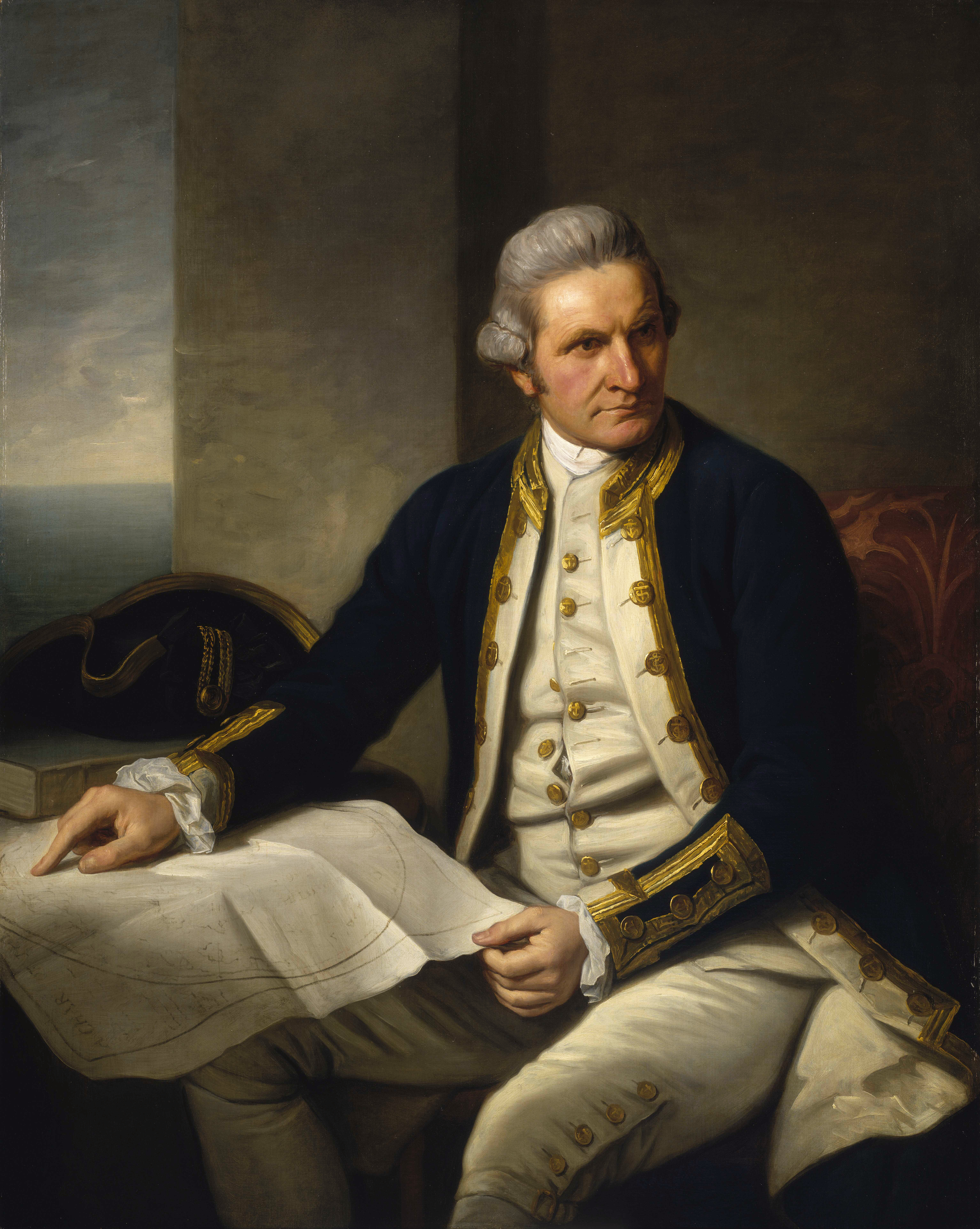
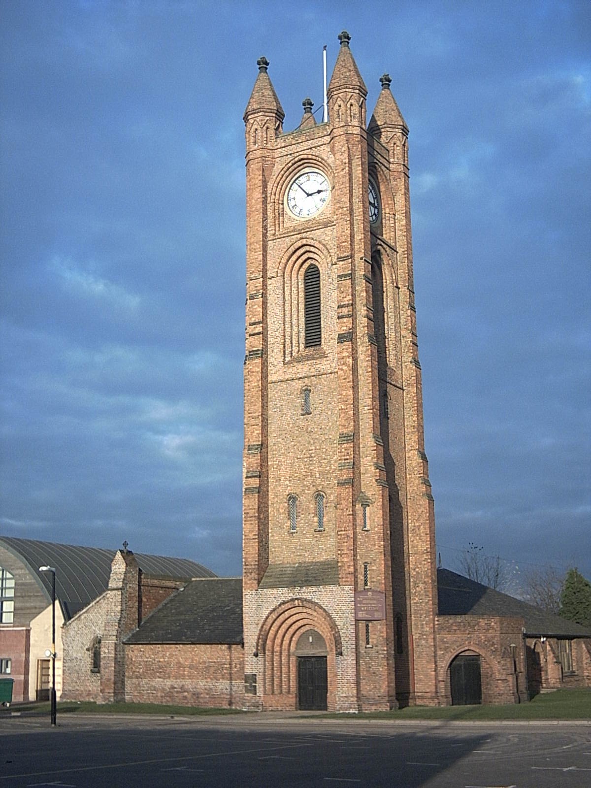
Marton (officially Marton-in-Cleveland) is an area of Middlesbrough, North Yorkshire, England. Until the 1950s, it was a small village next to the hamlet of Tollesby in Yorkshire's North Riding. The Marton parish originally stretched north to the River Tees, however with the expansion of Middlesbrough, the parish became progressively smaller, ultimately becoming a suburb of south Middlesbrough. Attractions include Stewart Park, a large public park given by a former councillor, Dormund Stewart, to the people of Middlesbrough in 1928. At the 2011 census, the Marton Ward (Marton East since 2015) had a population of 4,728 while Marton West Ward had a population of 5,305. James Cook The explorer, cartographer and navigator, Captain James Cook was born to James and Grace Cook, in a clay-built cottage in the village of Marton in 1728, and he lived for a short time in the village, until the family moved to Great Ayton.''The Captain Cook Encyclopædia'', p. 144. John Robson. Ran ... [...More Info...] [...Related Items...] OR: [Wikipedia] [Google] [Baidu] |
North Ormesby
North Ormesby is an area in the town of Middlesbrough, in the Borough of Middlesbrough, North Yorkshire, England. The area has gained the common nickname of Doggy, it is of unknown origin. Population of the North Ormesby and Brambles Farm ward, as taken at the 2011 census, was 6,268. The area became its own ward in 2015. It is situated to the south of the River Tees, the A66 and adjacent to the Cargo Fleet and South Bank areas of Middlesbrough. The Teesdale Way long-distance trail passes just to the north of the area. North Ormesby is located next to Middlesbrough F.C.'s Riverside Stadium and is a popular route for match-goers. History Its name, as well as those of various streets in the locality, alludes to the support given to the initial construction of North Ormesby, a new town, in the later 19th century by members of the nearby Ormesby-based Pennyman family. The name therefore comes from being in the northern part of the former Ormesby parish. The neighbourhood has ... [...More Info...] [...Related Items...] OR: [Wikipedia] [Google] [Baidu] |
Nunthorpe
Nunthorpe is a village and civil parish in the Borough of Middlesbrough in North Yorkshire, England. It is part of the historic county of Yorkshire, North Riding. It is near to the village of Great Ayton and formerly part of the Ayton ancient parish until 1866. History The history of Nunthorpe can be traced back to before the Domesday Book of 1086. The village was named “Thorpe”, or “Torp” (words meaning settlement) in the Domesday Book and described as a thriving settlement, Nunthorpe consisted of an estimated 1,080 acres of land. Towards the end of the 12th century a group of Cistercians nuns, allegedly evicted from nearby Hutton Lowcross for rowdy behaviour, were resettled at Thorpe having been given some land there belonging to Whitby Abbey, on which they built a priory and mill. The nuns only stayed at Thorpe a few years, but their short stay resulted in Thorpe being renamed Nunthorpe. During the following centuries, Nunthorpe remained an agricultural comm ... [...More Info...] [...Related Items...] OR: [Wikipedia] [Google] [Baidu] |
Pallister
Pallister is an area in the borough of Middlesbrough, North Yorkshire, England. It is located within the TS3 postcode area. The Pallister Ward (shared with the larger Berwick Hills) had population at the 2011 Census of 6,069, the ward was later renamed in 2015 to Berwick Hills and Pallister. The area, made up of mostly council houses, has developed a reputation over the years for crime and anti-social behaviour, although Middlesbrough Council and Erimus Housing have made it a target to reduce crime rates. File:Pallister Park - geograph.org.uk - 854119.jpg, Pallister Park File:Pallister Park - geograph.org.uk - 854116.jpg, Pallister Park field It is also known as Pallister Park or Pally Park because of the public park located at the northern edge of the area. Education There are two primary schools in the area - Pallister Park Primary School, on Gribdale Road and Corpus Christi RC Primary School, on Cargo Fleet Lane. There is a secondary school, Unity City Academy, towards t ... [...More Info...] [...Related Items...] OR: [Wikipedia] [Google] [Baidu] |
Park End, Middlesbrough
Park End is an area in the borough of Middlesbrough, North Yorkshire, England. It is near Berwick Hills and Ormesby. It is in the TS3 postcode district. The population of the Park End ward, at the 2011 Census, was 6,254. In May 2015 the ward boundaries changed, the new Park End and Beckfield ward replacing the old ward in name. The ward is in the Middlesbrough constituency, the former ward was in the Middlesbrough South and East Cleveland Middlesbrough South and East Cleveland is a constituency created in 1997 represented in the House of Commons of the UK Parliament since 2017 by Simon Clarke of the Conservative Party. Boundaries 1997–2010: The Redcar and Cleveland Borou ... constituency. Schools There are two primary schools in Park End. Park End Primary School Park End Primary school is much larger than the average-sized primary school. Almost all pupils are of '' White British'' heritage. The proportion of pupils known to be eligible extra funding because ... [...More Info...] [...Related Items...] OR: [Wikipedia] [Google] [Baidu] |
Stainton And Thornton
Stainton and Thornton is a civil parish in Middlesbrough, North Yorkshire, England. It consists of the two villages Stainton and Thornton. The population of the civil parish at the 2011 census was 1,243. History The ancient parish of Stainton (also known as Stainton-in-Cleveland) formed by the split of the Soke of Acklam with Acklam taking Middlesbrough and Linthorpe while Stainton took Coulby (west side of Coulby Newham), Hemlington, Ingleby Barwick, Maltby, Stainsby and Thornaby Thornaby-on-Tees, commonly referred to as Thornaby, is a town and civil parish on the River Tees's southern bank. It is in the Borough of Stockton-on-Tees, North Yorkshire, England. The parish had a population of 24,741 at the 2011 census, in t .... Each area had gained separate parishes by the time the now civil parish of Stainton was temporarily abolished in 1968 with the creation of the Teesside civil parish. In 1986, a new parish was formed called Stainton and Thornton from the remaining ... [...More Info...] [...Related Items...] OR: [Wikipedia] [Google] [Baidu] |


