|
1976 California Democratic Presidential Primary
The 1976 California Democratic presidential primary was held on June 8, 1976, as one of the Democratic Party presidential primaries ahead of the 1976 United States presidential election. The primary was held alongside the state's Republican Party presidential primary as well as primaries in New Jersey and Ohio. It was one of the last elections before the 1976 Democratic National Convention the following month. Then incumbent California governor Jerry Brown faced off against Georgia governor Jimmy Carter, as well as a small number of others. Brown won his home state in a blowout, winning every county, but ultimately failed to secure the nomination. Carter would go on to win the nomination and later the presidency, unseating incumbent president Gerald Ford. Results Results by county References {{State results of the 1976 U.S. presidential election California California is a state in the Western United States, located along the Pacific Coast. With nearly 3 ... [...More Info...] [...Related Items...] OR: [Wikipedia] [Google] [Baidu] |
Georgia (U
Georgia most commonly refers to: * Georgia (country), a country in the Caucasus region of Eurasia * Georgia (U.S. state), a state in the Southeast United States Georgia may also refer to: Places Historical states and entities * Related to the country in the Caucasus ** Kingdom of Georgia, a medieval kingdom ** Georgia within the Russian Empire ** Democratic Republic of Georgia, established following the Russian Revolution ** Georgian Soviet Socialist Republic, a constituent of the Soviet Union * Related to the US state ** Province of Georgia, one of the thirteen American colonies established by Great Britain in what became the United States ** Georgia in the American Civil War, the State of Georgia within the Confederate States of America. Other places * 359 Georgia, an asteroid * New Georgia, Solomon Islands * South Georgia and the South Sandwich Islands Canada * Georgia Street, in Vancouver, British Columbia, Canada * Strait of Georgia, British Columbia, Canada ... [...More Info...] [...Related Items...] OR: [Wikipedia] [Google] [Baidu] |
Ellen McCormack
Ellen Cullen McCormack (September 15, 1926 – March 27, 2011) was an American politician who was a candidate for the Democratic presidential nomination in 1976. Early life On September 15, 1926, Eleanor Rose Cullen was born in The Bronx borough of New York City, to Irish immigrants William and Ellen Cullen. In 1949, she married Francis J. McCormack, after meeting him at a dance, and had four children with him. Career On July 14, 1975, McCormack filed with the Federal Election Commission to run in the 1976 presidential primary, and formally announced her candidacy at a news conference in Boston, Massachusetts, on November 16. She was the first woman to receive federal matching funds, which she received $244,125 in, and appeared on the ballot in twenty states. She ran on an exclusively "pro-life" platform, and won no primaries, but had her name placed into nomination and received 22 votes from delegates at the 1976 Democratic National Convention, and engaged in a debate t ... [...More Info...] [...Related Items...] OR: [Wikipedia] [Google] [Baidu] |
Glenn County, California
Glenn County is a county located in the U.S. state of California. As of the 2020 census, the population was 28,917. The county seat is Willows. It is located in the Sacramento Valley, in the northern part of the California Central Valley. The Grindstone Rancheria, reservation of the Grindstone Indian Rancheria of Wintun-Wailaki Indians, is located in Glenn County. History Glenn County split from Colusi County in 1891, from parts of Colusa County. It was named for Dr. Hugh J. Glenn, who purchased in the northest end of Rancho Jacinto in 1867. He became the largest wheat farmer in the state during his lifetime and a man of great prominence in political and commercial life in California. Sheriffs *Peter Herman Clark (1 Mar 1891- 7 Nov 1894) *William H. Sale (7 Nov 1894- 7 Nov 1900) *Jack A. Bailey (7 Nov 1900- 7 Nov 1918) *Newt Collins (7 Nov 1918- 7 Nov 1922) *Roy D. Heard (7 Nov 1922- 7 Nov 1934) *Lawrence Atherton Braden (7 Nov 1934- 7 Nov 1940) *Roy D. Heard (7 Nov ... [...More Info...] [...Related Items...] OR: [Wikipedia] [Google] [Baidu] |
Fresno County, California
Fresno County (), officially the County of Fresno, is a county located in the central portion of the U.S. state of California. As of the 2020 Census, the population was 1,008,654. The county seat is Fresno, the fifth-most populous city in California. Fresno County comprises the Fresno, CA Metropolitan Statistical Area, which is part of the Fresno- Madera, CA Combined Statistical Area. It is located in the Central Valley, south of Stockton and north of Bakersfield. Since 2010, statewide droughts in California have further strained both Fresno County's and the entire Central Valley's water security. History The area now known as Fresno County was the traditional homeland of Yokuts and Mono peoples, and was later settled by Spaniards during a search for suitable mission sites. In 1846, this area became part of the United States as a result of the Mexican War. Fresno County was formed in 1856 from parts of Mariposa, Merced and Tulare counties. ''Fresno'' is Spanis ... [...More Info...] [...Related Items...] OR: [Wikipedia] [Google] [Baidu] |
El Dorado County, California
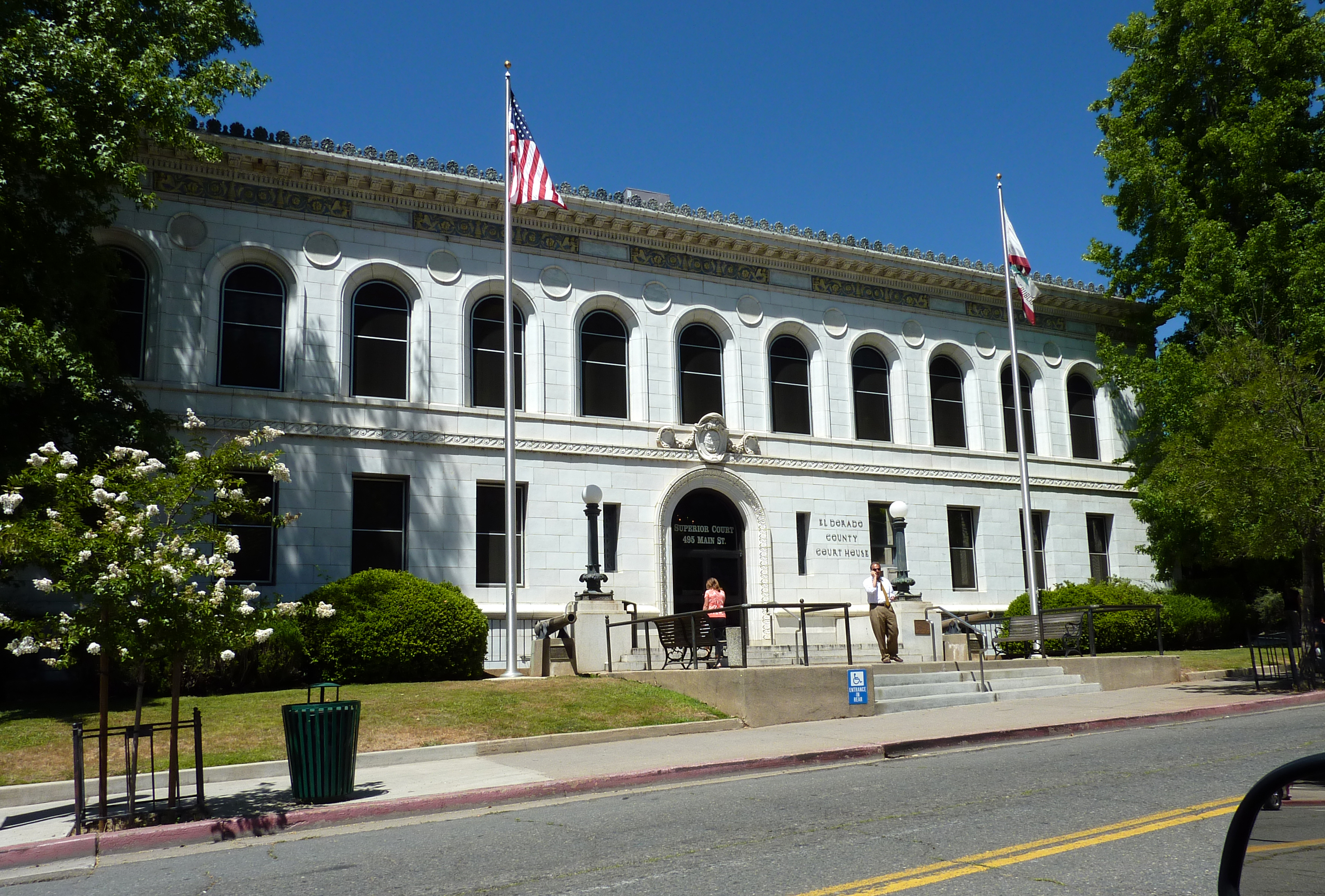
El Dorado County (), officially the County of El Dorado, is a county located in the U.S. state of California. As of the 2020 census, the population was 191,185. The county seat is Placerville. The County is part of the Sacramento-Roseville- Arden-Arcade, CA Metropolitan Statistical Area. It is located entirely in the Sierra Nevada, from the historic Gold Country in the western foothills to the High Sierra in the east. El Dorado County's population has grown as Greater Sacramento has expanded into the region. Where the county line crosses US 50 at Clarksville, the distance to Sacramento is 15 miles. In the county's high altitude eastern end at Lake Tahoe, environmental awareness and environmental protection initiatives have grown along with the population since the 1960 Winter Olympics, hosted at the former Squaw Valley Ski Resort in neighboring Placer County. History What is now known as El Dorado County has been home to the Maidu, Nisenan, Washoe, and Miwok Ind ... [...More Info...] [...Related Items...] OR: [Wikipedia] [Google] [Baidu] |
Del Norte County, California
), in California , seat_type = County seat , seat = Crescent City , parts_type = Largest city , parts = Crescent City , unit_pref = US , area_total_sq_mi = 1230 , area_land_sq_mi = 1006 , area_water_sq_mi = 223 , elevation_max_footnotes = , elevation_max_ft = 6415 , elevation_min_footnotes = , elevation_min_ft = , population_as_of = April 1, 2020 , population_footnotes = , population_total = 27743 , population_density_sq_mi = 28 , timezone = Pacific Time Zone , utc_offset = −8 , timezone_DST = Pacific Daylight Time , utc_offset_DST = −7 , postal_code_type = , postal_code = , area_code_type = Area codes , area_code = 707 , blank_name_sec1 = FIPS code , blank_info_sec1 = 06-015 , blank1_name_sec1 = GNIS feature ID , blank1_info_sec1 = , website = Del Norte County (''Del Norte'', Spanish for "Of The North"; ) is a county at the far northwest corner of the U.S. state of California, along the Pacific Ocean adjacent to the Oregon ... [...More Info...] [...Related Items...] OR: [Wikipedia] [Google] [Baidu] |
Contra Costa County, California
) of the San Francisco Bay , subdivision_type = Country , subdivision_name = United States , subdivision_type1 = State , subdivision_name1 = California , subdivision_type2 = Region , subdivision_name2 = San Francisco Bay Area , seat_type = County seat , seat = Martinez , parts_type = Largest city , parts = Concord (population and land area) Richmond (total area) , unit_pref = US , area_total_sq_mi = 804 , area_land_sq_mi = 715.94 , area_water_sq_mi = 81 , elevation_max_footnotes = , elevation_max_ft = 3852 , population_as_of = 2020 , population_footnotes = , population_total = 1,165,927 , population_density_sq_mi = 1629 , established_title ... [...More Info...] [...Related Items...] OR: [Wikipedia] [Google] [Baidu] |
Colusa County, California
Colusa County () is a county located in the U.S. state of California. As of the 2020 census, the population was 21,839. The county seat is Colusa. It is in the North Valley of California, northwest of the state capital, Sacramento. History Colusa County is one of the original counties of California, created in 1850 at the time of statehood. Parts of the county's territory were given to Tehama County in 1856 and to Glenn County in 1891. The county was named after the 1844 Rancho Colus Mexican land grant to John Bidwell. The name of the county in the original state legislative act of 1850 was spelled ''Colusi'', and often in newspapers was spelled ''Coluse''. The word is derived from the name of a Patwin village known as ''Ko'-roo'' or ''Korusi'' located on the west side of the Sacramento River on the site of the present-day city of Colusa. The name was established as ''Colusa'' by 1855. Early history Present-day Colusa County was originally home to the Patwin band o ... [...More Info...] [...Related Items...] OR: [Wikipedia] [Google] [Baidu] |
Calaveras County, California
Calaveras County (), officially the County of Calaveras, is a county in both the Gold Country and High Sierra regions of the U.S. state of California. As of the 2010 census, the population was 45,292. The county seat is San Andreas. Angels Camp is the county's only incorporated city. ''Calaveras'' is Spanish for "skulls"; the county was reportedly named for the remains of Native Americans discovered by the Spanish explorer Captain Gabriel Moraga. Calaveras Big Trees State Park, a preserve of giant sequoia trees, is in the county several miles east of the town of Arnold on State Highway 4. Credit for the discovery of giant sequoias there is given to Augustus T. Dowd, a trapper who made the discovery in 1852 while tracking a bear. When the bark from the "Discovery Tree" was removed and taken on tour around the world, the trees became a worldwide sensation and one of the county's first tourist attractions. The uncommon gold telluride mineral calaverite was discovered i ... [...More Info...] [...Related Items...] OR: [Wikipedia] [Google] [Baidu] |
Butte County, California
Butte County () is a county located in the northern part of the U.S. state of California. In the 2020 census, its population was 211,632. The county seat is Oroville. Butte County comprises the Chico, CA metropolitan statistical area. It is in the California Central Valley, north of the state capital of Sacramento. Butte County is drained by the Feather River and the Sacramento River. Butte Creek and Big Chico Creek are additional perennial streams, both tributary to the Sacramento. The county is home to California State University, Chico and Butte College. History Butte County is named for the Sutter Buttes in neighboring Sutter County; ''butte'' means "small knoll" or "small hill" in French. Butte County was incorporated as one of California's 19 original counties on February 18, 1850. The county went across the present limits of the Tehama, Plumas, Colusa, and Sutter Counties. Between November 8 and 25, 2018, a major wildfire, the Camp Fire, destroyed most ... [...More Info...] [...Related Items...] OR: [Wikipedia] [Google] [Baidu] |
Amador County, California
Amador County () is a county located in the U.S. state of California, in the Sierra Nevada. As of the 2020 census, the population was 40,474. The county seat is Jackson. Amador County, located within California's Gold Country, is known as "The Heart of the Mother Lode". There is a substantial viticultural industry in the county. History Amador County was created by the California Legislature on May 11, 1854, from parts of Calaveras and El Dorado counties. (historical marker placed by Board of Supervisors and Amador County Historical Society, 1954) It was organized on July 3, 1854. In 1864, part of the county's territory was given to Alpine County. The county is named for José María Amador, a soldier, rancher, and miner, born in San Francisco in 1794, the son of Sergeant Pedro Amador (a Spanish soldier who settled in California in 1771) and younger brother to Sinforosa Amador. In 1848, Jose Maria Amador, with several Native Americans, established a successf ... [...More Info...] [...Related Items...] OR: [Wikipedia] [Google] [Baidu] |
Alpine County, California
, other_name = , settlement_type = County , image_skyline = , image_flag = Flag of Alpine County, California.svg , flag_size = , image_seal = Seal of Alpine County, California.png , seal_size = , named_for = Its location in the Sierra Nevada resembling the (Swiss) Alps , subdivision_type = Country , subdivision_name = , subdivision_type1 = State , subdivision_name1 = , subdivision_type2 = Region , subdivision_name2 = Sierra Nevada , seat_type = County seat , seat = Markleeville , parts_type = Largest community , parts = Markleeville , unit_pref = US , area_total_sq_mi = 743 , area_land_sq_mi = 738 , area_water_sq_mi = 4.8 , elevation_max_footnotes = , elevation_max_ft = 11464 , e ... [...More Info...] [...Related Items...] OR: [Wikipedia] [Google] [Baidu] |


.jpg)
