|
122nd Meridian West
The meridian 122° west of Greenwich is a line of longitude that extends from the North Pole across the Arctic Ocean, North America, the Pacific Ocean, the Southern Ocean, and Antarctica to the South Pole. 122°W is the Seventh Meridian of the Dominion Land Survey in Canada. The 122nd meridian west forms a great circle with the 58th meridian east. From Pole to Pole Starting at the North Pole and heading south to the South Pole, the 122nd meridian west passes through: : See also *121st meridian west The meridian 121° west of Greenwich is a line of longitude that extends from the North Pole across the Arctic Ocean, North America, the Pacific Ocean, the Southern Ocean, and Antarctica to the South Pole. The 121st meridian west forms a great ... * 123rd meridian west References {{DEFAULTSORT:122nd Meridian West w122 meridian west ... [...More Info...] [...Related Items...] OR: [Wikipedia] [Google] [Baidu] |
Prime Meridian
A prime meridian is an arbitrarily chosen meridian (geography), meridian (a line of longitude) in a geographic coordinate system at which longitude is defined to be 0°. On a spheroid, a prime meridian and its anti-meridian (the 180th meridian in a degree (angle), 360°-system) form a great ellipse. This divides the body (e.g. Earth) into hemispheres of Earth, two hemispheres: the Eastern Hemisphere and the Western Hemisphere (for an east-west notational system). For Earth's prime meridian, various conventions have been used or advocated in different regions throughout history. Earth's current international standard prime meridian is the IERS Reference Meridian. It is derived, but differs slightly, from the Prime meridian (Greenwich), Greenwich Meridian, the previous standard. Longitudes for the Earth and Moon are measured from their prime meridian (at 0°) to 180° east and west. For all other Solar System bodies, longitude is measured from 0° (their prime meridian) to 360� ... [...More Info...] [...Related Items...] OR: [Wikipedia] [Google] [Baidu] |
M'Clure Strait
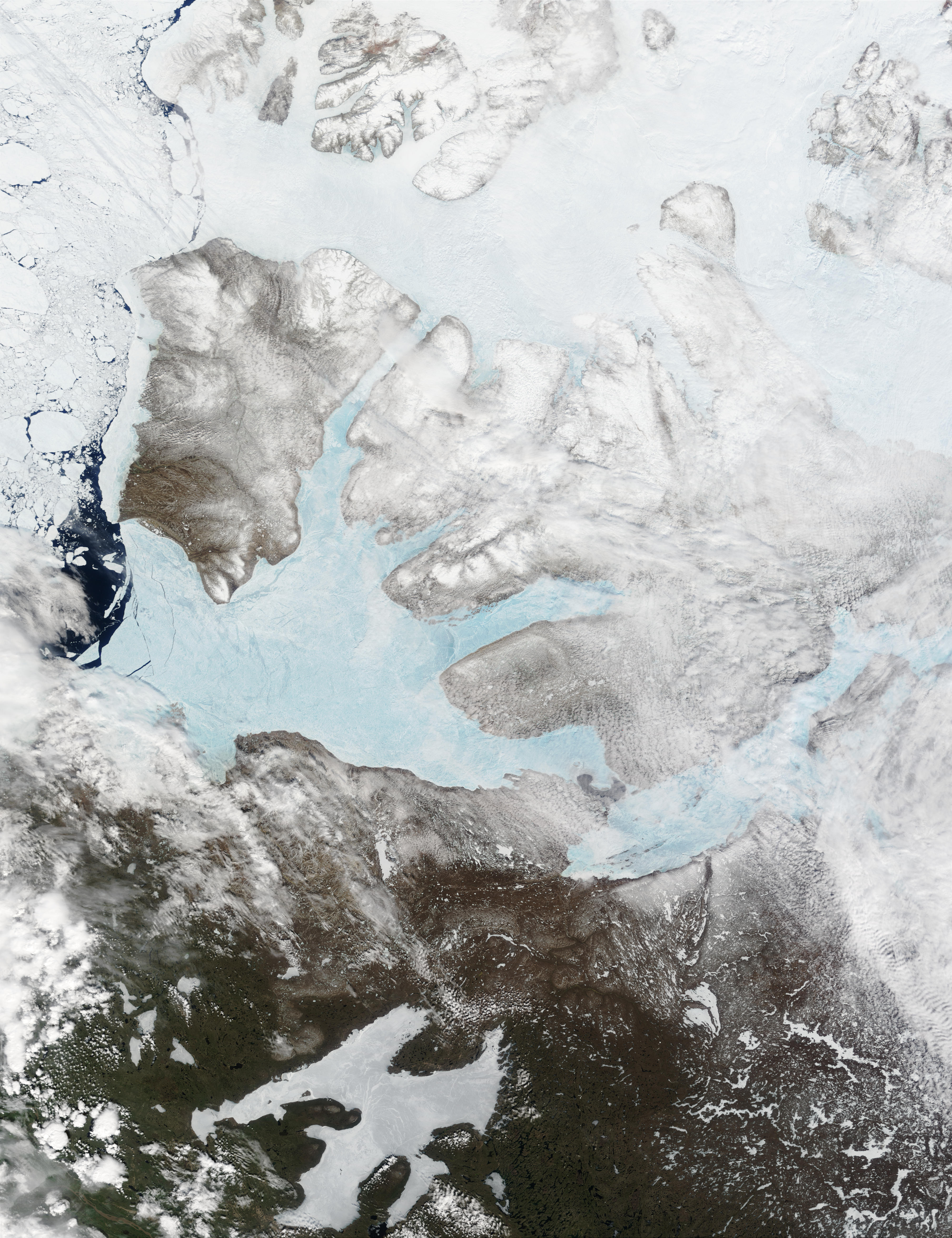
The M'Clure Strait (sometimes rendered McClure Strait) is a strait on the edge of the Canadian Northwest Territories. It forms the northwestern end of the Parry Channel which extends east all the way to Baffin Bay and is thus a possible route for the Northwest Passage. The strait was named for Robert McClure, an Irish Arctic explorer serving in the Royal Navy. He was the first man to traverse the North-West Passage (by boat and sledge). The strait connects the Beaufort Sea in the west with Viscount Melville Sound in the east. It is bounded by Prince Patrick Island, Eglinton Island and Melville Island on the north and Banks Island on the south. As the strait is chronically blocked with thick ice, it is usually impassable to ships; in 1969, the United States-registered tanker SS ''Manhattan'' was freed from the ice by a Canadian icebreaker, and forced to travel through Canadian territorial waters to complete its westward passage. Ice prevented ''Manhattan'' from going throu ... [...More Info...] [...Related Items...] OR: [Wikipedia] [Google] [Baidu] |
121st Meridian West
The meridian 121° west of Greenwich is a line of longitude that extends from the North Pole across the Arctic Ocean, North America, the Pacific Ocean, the Southern Ocean, and Antarctica to the South Pole. The 121st meridian west forms a great circle with the 59th meridian east. From Pole to Pole Starting at the North Pole and heading south to the South Pole The South Pole, also known as the Geographic South Pole or Terrestrial South Pole, is the point in the Southern Hemisphere where the Earth's rotation, Earth's axis of rotation meets its surface. It is called the True South Pole to distinguish ..., the 121st meridian west passes through: : See also * 120th meridian west * 122nd meridian west {{geographical coordinates, state=collapsed w121 meridian west ... [...More Info...] [...Related Items...] OR: [Wikipedia] [Google] [Baidu] |
List Of Antarctic Territorial Claims
Seven sovereign states – Argentina, Australia, Chile, France, New Zealand, Norway, and the United Kingdom – have made eight territorial claims in Antarctica. These countries have tended to place their Antarctic scientific observation and study facilities within their respective claimed territories; however, a number of such facilities are located outside of the area claimed by their respective countries of operation, and countries without claims such as Spain, China, India, Italy, Japan, Pakistan, Russia, South Africa ( SANAE), Poland, and the United States have constructed research facilities within the areas claimed by other countries. There are overlaps among the territories claimed by Argentina, Chile, and the United Kingdom. History Spanish claims According to Argentina and Chile, the Spanish Crown had claims on Antarctica. The ''capitulación'' (governorship) granted to the conquistador Pedro Sánchez de la Hoz in 1539 by the King of Spain, Charles V, explicitly ... [...More Info...] [...Related Items...] OR: [Wikipedia] [Google] [Baidu] |
San José, California
San Jose, officially the City of San José ( ; ), is a cultural, commercial, and political center within Silicon Valley and the San Francisco Bay Area. With a city population of 997,368 and a metropolitan area population of 1.95 million, it is the most populous city in both the Bay Area and Northern California and the 12th-most populous in the United States. Located in the center of the Santa Clara Valley on the southern shore of San Francisco Bay, San Jose covers an area of and is the seat of Santa Clara County. Before the arrival of the Spanish, the area around San Jose was long inhabited by the Tamien nation of the Ohlone people San Jose was founded on November 29, 1777, as the ''Pueblo de San José de Guadalupe'', the first city founded in the Californias. It became a part of Mexico in 1821 after the Mexican War of Independence. Following the U.S. Conquest of California during the Mexican–American War, the territory was ceded to the United States in 1848. After Cali ... [...More Info...] [...Related Items...] OR: [Wikipedia] [Google] [Baidu] |
California
California () is a U.S. state, state in the Western United States that lies on the West Coast of the United States, Pacific Coast. It borders Oregon to the north, Nevada and Arizona to the east, and shares Mexico–United States border, an international border with the Mexico, Mexican state of Baja California to the south. With almost 40million residents across an area of , it is the List of states and territories of the United States by population, largest state by population and List of U.S. states and territories by area, third-largest by area. Prior to European colonization of the Americas, European colonization, California was one of the most culturally and linguistically diverse areas in pre-Columbian North America. European exploration in the 16th and 17th centuries led to the colonization by the Spanish Empire. The area became a part of Mexico in 1821, following Mexican War of Independence, its successful war for independence, but Mexican Cession, was ceded to the U ... [...More Info...] [...Related Items...] OR: [Wikipedia] [Google] [Baidu] |
Oregon
Oregon ( , ) is a U.S. state, state in the Pacific Northwest region of the United States. It is a part of the Western U.S., with the Columbia River delineating much of Oregon's northern boundary with Washington (state), Washington, while the Snake River delineates much of its eastern boundary with Idaho. The 42nd parallel north, 42° north parallel delineates the southern boundary with California and Nevada. The western boundary is formed by the Pacific Ocean. Oregon has been home to many Indigenous peoples of the Americas, indigenous nations for thousands of years. The first European traders, explorers, and settlers began exploring what is now Oregon's Pacific coast in the early to mid-16th century. As early as 1564, the Spanish expeditions to the Pacific Northwest, Spanish began sending vessels northeast from the Philippines, riding the Kuroshio Current in a sweeping circular route across the northern part of the Pacific. In 1592, Juan de Fuca undertook detailed mapping a ... [...More Info...] [...Related Items...] OR: [Wikipedia] [Google] [Baidu] |
Washington (state)
Washington, officially the State of Washington, is a U.S. state, state in the Pacific Northwest region of the United States. It is often referred to as Washington State to distinguish it from Washington, D.C., the national capital, both named after George Washington (the first President of the United States, U.S. president). Washington borders the Pacific Ocean to the west, Oregon to the south, Idaho to the east, and shares Canada–United States border, an international border with the Provinces and territories of Canada, Canadian province of British Columbia to the north. Olympia, Washington, Olympia is the List of capitals in the United States, state capital, and the most populous city is Seattle. Washington is the List of U.S. states and territories by area, 18th-largest state, with an area of , and the List of U.S. states and territories by population, 13th-most populous state, with a population of just less than 8 million. The majority of Washington's residents live ... [...More Info...] [...Related Items...] OR: [Wikipedia] [Google] [Baidu] |
Chilliwack
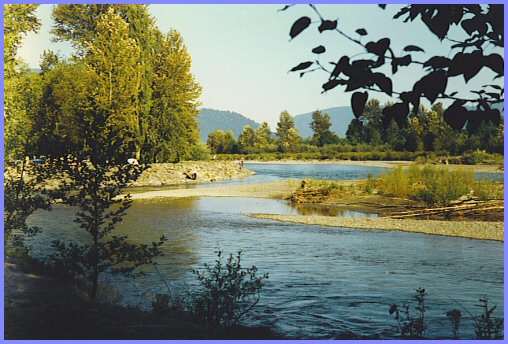
Chilliwack ( ) is a city of about 100,000 people and in the Canadian province of British Columbia. It is located about east of the City of Vancouver in the Fraser Valley. The enumerated population is 93,203 in the city and 113,767 in the greater metropolitan area. About two-thirds of city land is protected as part of the Agricultural Land Reserve, and agriculture accounts for about 30 percent of the local economy. The city is bounded on the north side by the Fraser River, on the south side by the Vedder River and Canada–United States border, and is surrounded by tall mountain peaks, such as Mount Cheam and Slesse Mountain. Etymology In Halq'eméylem, the language of the Stó:lō communities around Chilliwack and Sardis, ''Tcil'Qe'uk'' means "valley of many streams". It also lends its name to the Chilliwack River, and group of aboriginal people, the ''Ts'elxwéyeqw'' (also spelt ''Ts'elxwíqw'' or ''Sts'elxwíqw''). The spelling of Chilliwack is sometimes a matt ... [...More Info...] [...Related Items...] OR: [Wikipedia] [Google] [Baidu] |
British Columbia
British Columbia is the westernmost Provinces and territories of Canada, province of Canada. Situated in the Pacific Northwest between the Pacific Ocean and the Rocky Mountains, the province has a diverse geography, with rugged landscapes that include rocky coastlines, sandy beaches, forests, lakes, mountains, inland deserts and grassy plains. British Columbia borders the province of Alberta to the east; the territories of Yukon and Northwest Territories to the north; the U.S. states of Washington (state), Washington, Idaho and Montana to the south, and Alaska to the northwest. With an estimated population of over 5.7million as of 2025, it is Canada's Population of Canada by province and territory, third-most populous province. The capital of British Columbia is Victoria, British Columbia, Victoria, while the province's largest city is Vancouver. Vancouver and its suburbs together make up List of census metropolitan areas and agglomerations in Canada, the third-largest metropolit ... [...More Info...] [...Related Items...] OR: [Wikipedia] [Google] [Baidu] |
Great Bear Lake
Great Bear Lake (; ) in the boreal forest of Canada is the largest List of lakes of Canada, lake entirely in Canada (Lake Superior and Lake Huron are larger but straddle the Canada–United States border, Canada–US border), the fourth-largest in North America, and the List of lakes by area, eighth-largest in the world. The lake is in the Northwest Territories, on the Arctic Circle between 65th parallel north, 65 and 67th parallel north, 67 degrees of northern latitude and between 118th meridian west, 118 and 123rd meridian west, 123 degrees western longitude, Height above mean sea level, above sea level. The name originated from the Chipewyan language, Chipewyan word , meaning "grizzly bear-water people". The Sahtu, a Dene people, are named after the lake. Grizzly Bear Mountain, or ''Sahoyue'', on the shore of the lake also comes from Chipewyan, meaning "bear-large hill".Johnson, LThe Great Bear Lake: Its Place in History. Calgary, Alberta: ''Arctic Institute of North Americ ... [...More Info...] [...Related Items...] OR: [Wikipedia] [Google] [Baidu] |
Amundsen Gulf
Amundsen Gulf is a gulf located mainly in the Inuvik Region, Northwest Territories, Canada with a small section in the Kitikmeot Region of Nunavut. It lies between Banks Island and Victoria Island (Canada), Victoria Island and the mainland. It is approximately in length and about across where it meets the Beaufort Sea. The Amundsen Gulf was explored by Norwegian explorer Roald Amundsen between 1903 and 1906. The gulf is at the western end of the famous Northwest Passage, a route from the Atlantic Ocean to the Pacific Ocean, Pacific. Few people live along the shores of the gulf, but there are a few towns and communities, including Sachs Harbour, Ulukhaktok, and Paulatuk. Heading north in the gulf one would find the Prince of Wales Strait. Heading southeast and east, the gulf leads through the Dolphin and Union Strait, past Simpson Bay and into the Coronation Gulf. From there one would go through the Dease Strait and into the Queen Maud Gulf, and eventually head northeast into ... [...More Info...] [...Related Items...] OR: [Wikipedia] [Google] [Baidu] |


