|
ŇĹitkovac
ŇĹitkovac (Serbian Cyrillic: –Ė–ł—ā–ļ–ĺ–≤–į—Ü) is a village in central Serbia situated in the municipality of Aleksinac, in the NiŇ°ava District. ŇĹitkovac has a population of 2,680 as recorded in the 2002 census. The name ''ŇĹitkovac'' stems . Education ŇĹitkovac has a school named after Vuk KaradŇĺińá which provides preschool, primary and secondary education. Geography ŇĹitkovac is located in the Aleksinac valley surrounded by mountains of Jastrebac and Ozren. The river which flows through the valley is South Morava. The nearest town is Aleksinac (3 km), which is the centre of municipality, located in the NiŇ°ava District of Serbia. ŇĹitkovac is geographically joined with two other villages Moravac and Prńáilovica creating one of the most populated locality of the municipality of Aleksinac, with approximately 7 000 citizens. Thanks to its location, ŇĹitkovac has become an economical and cultural center of the Aleksinac municipality on the left side of the South M ... [...More Info...] [...Related Items...] OR: [Wikipedia] [Google] [Baidu] |
Aleksinac Valley
Aleksinac ( sr-Cyrl, –ź–Ľ–Ķ–ļ—Ā–ł–Ĺ–į—Ü) is a town and municipality located in the NiŇ°ava District of southern Serbia. According to 2022 census, the municipality has a population of 43,258 inhabitants. History Prehistory and Antiquity The territory of the municipality of Aleksinac has been inhabited since the Neolithic age. Most of the settlements in the area belong to the Vinńća cultural group, and are located on the western side of the South Morava river. After the fall to the Romans this territory was included in the province Upper Moesia and after 293 AD it was in the Mediterranean province Dacia. A Roman military road (Via Militaris) was built in 1st century AD across the territory. There were also two stations for rest (mansio) and change of horses (mutatio) along the road on the territory of Aleksinac: Praesidium Pompei and Rappiana. Their location is still unknown, although there are few candidates for this position. Also few fortresses (Castell) are known to existed ... [...More Info...] [...Related Items...] OR: [Wikipedia] [Google] [Baidu] |
Aleksinac
Aleksinac ( sr-Cyrl, –ź–Ľ–Ķ–ļ—Ā–ł–Ĺ–į—Ü) is a town and municipality located in the NiŇ°ava District of Southern and Eastern Serbia, southern Serbia. According to 2022 census, the municipality has a population of 43,258 inhabitants. History Prehistory and Antiquity The territory of the municipality of Aleksinac has been inhabited since the Neolithic age. Most of the settlements in the area belong to the Vinńća culture, Vinńća cultural group, and are located on the western side of the South Morava river. After the fall to the Roman Empire, Romans this territory was included in the province Upper Moesia and after 293 AD it was in the Mediterranean province Dacia. A Roman military road (Via Militaris) was built in 1st century AD across the territory. There were also two stations for rest (mansio) and change of horses (mutatio) along the road on the territory of Aleksinac: Praesidium Pompei and Rappiana. Their location is still unknown, although there are few candidates for this pos ... [...More Info...] [...Related Items...] OR: [Wikipedia] [Google] [Baidu] |
Prńáilovica
Prńáilovica () is a village in the municipality of Aleksinac, Serbia in the NiŇ°ava District of Serbia. The village is situated in the Aleksinac Basin on the left bank of the South Morava River. According to the 2002 census, the village has a population of 2410 people. Etymology The name Prńáilovica is derived from the word "prńáija," meaning dowry, and it is often a subject of jest due to its unusual sound. According to local legend, the village was named after a Serbian shepherd who, while tending his flock for a Turkish pasha, married the pasha‚Äôs daughter. The term "prńái" or "prńáija" refers to a dowry, linking the village's name to this tradition. History Prńáilovica has a rich historical background. Beneath the village, there are underground tunnels that are suspected to date back to the Roman period. These tunnels are believed to be remnants of the ancient city "Presidium Pompei," although they have yet to be fully explored. The village is home to one of the oldest ele ... [...More Info...] [...Related Items...] OR: [Wikipedia] [Google] [Baidu] |
List Of Sovereign States
The following is a list providing an overview of sovereign states around the world with information on their status and recognition of their sovereignty. The 205 listed states can be divided into three categories based on membership within the United Nations System: 193 member states of the United Nations, UN member states, two United Nations General Assembly observers#Current non-member observers, UN General Assembly non-member observer states, and ten other states. The ''sovereignty dispute'' column indicates states having undisputed sovereignty (188 states, of which there are 187 UN member states and one UN General Assembly non-member observer state), states having disputed sovereignty (15 states, of which there are six UN member states, one UN General Assembly non-member observer state, and eight de facto states), and states having a political status of the Cook Islands and Niue, special political status (two states, both in associated state, free association with New ... [...More Info...] [...Related Items...] OR: [Wikipedia] [Google] [Baidu] |
Kingdom Of Yugoslavia
The Kingdom of Yugoslavia was a country in Southeast Europe, Southeast and Central Europe that existed from 1918 until 1941. From 1918 to 1929, it was officially called the Kingdom of Serbs, Croats, and Slovenes, but the term "Yugoslavia" () has been its colloquial name as early as 1922 due to its origins. "Kraljevina Jugoslavija! Novi naziv naŇ°e drŇĺave. No, mi smo itak med seboj vedno dejali Jugoslavija, ńćetudi je bilo na vseh uradnih listih Kraljevina Srbov, Hrvatov in Slovencev. In tudi drugi narodi, kakor Nemci in Francozi, so pisali Ňĺe prej v svojih listih mnogo o Jugoslaviji. 3. oktobra, ko je kralj Aleksander podpisal "Zakon o nazivu in razdelitvi kraljevine na upravna obmońćja", pa je bil naslov kraljevine Srbov, Hrvatov in Slovencev za vedno izbrisan." (NaŇ° rod ("Our Generation", a monthly Slovene language periodical), Ljubljana 1929/30, Ň°t. 1, str. 22, letnik I.) The official name of the state was changed to "Kingdom of Yugoslavia" by King Alexander I of Yugosla ... [...More Info...] [...Related Items...] OR: [Wikipedia] [Google] [Baidu] |
Morava Banovina
The Morava Banovina or Morava Banate ( sh-Cyrl-Latn, separator=" / ", –ú–ĺ—Ä–į–≤—Ā–ļ–į –Ī–į–Ĺ–ĺ–≤–ł–Ĺ–į, Moravska banovina), was a province ( banovina) of the Kingdom of Yugoslavia between 1929 and 1941. This province consisted of parts of present-day Central Serbia (including Vushtrri and Podujev√ę in Kosovo) and it was named after the Morava Rivers. The capital city of the Morava Banovina was NiŇ°. Borders According to the 1931 Constitution of the Kingdom of Yugoslavia, :''The Morava Banovina is bounded on the north and the east by the State frontiers with Romania and Bulgaria as for as the southern boundary of the district of LuŇĺnica (at Descani Kladenac). From this point the boundary of the Banovina follows the southern boundaries of the districts of LuŇĺnica, NiŇ°, Dobrińá, Prokuplje, Kosanica, Lab and Vushtrri, including all these districts, and at the intersection of the boundaries of the three districts of Vushtrri, Grańćanica and Drenica it joins the boundar ... [...More Info...] [...Related Items...] OR: [Wikipedia] [Google] [Baidu] |
Necropolis
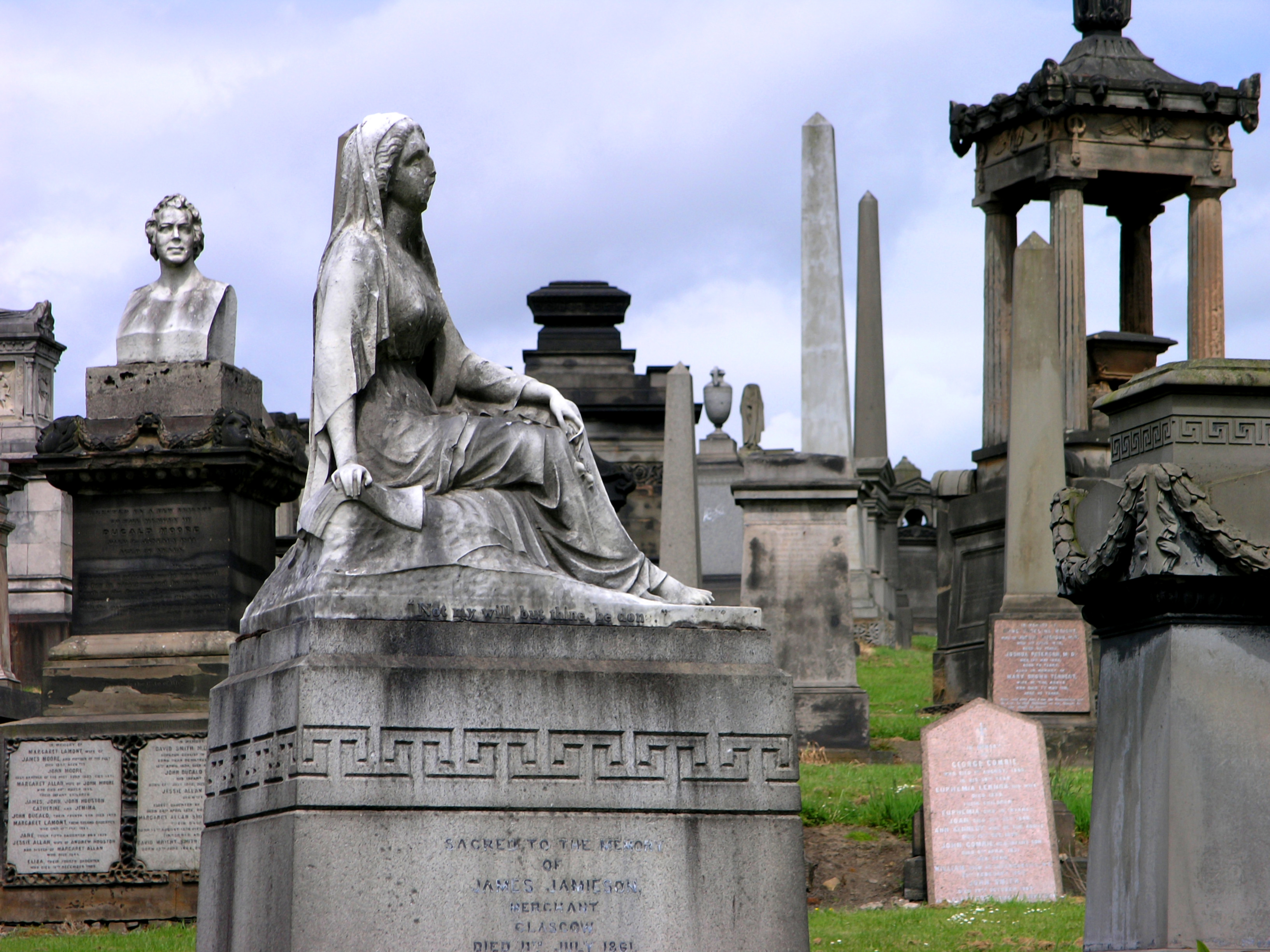
A necropolis (: necropolises, necropoles, necropoleis, necropoli) is a large, designed cemetery with elaborate tomb monuments. The name stems from the Ancient Greek ''nekropolis'' (). The term usually implies a separate burial site at a distance from a city, as opposed to tombs within cities, which were common in various places and periods of history. They are different from grave fields, which did not have structures or markers above the ground. While the word is most commonly used for ancient sites, the name was revived in the early 19th century and applied to planned city cemeteries, such as the Glasgow Necropolis. In the ancient world Egypt Ancient Egypt is noted for multiple necropoleis and they are major archaeological sites for Egyptology.. Ancient Egyptian funerary practices and beliefs about the afterlife led to the construction of several extensive necropoleis to secure and provision the dead in the hereafter. Probably the best-known one is the Giza Necropolis. ... [...More Info...] [...Related Items...] OR: [Wikipedia] [Google] [Baidu] |
Starńćevo Culture
The Starńćevo culture is an archaeological culture of Southeastern Europe, dating to the Neolithic period between ''c.'' 6200 and 4500 BCE.Istorijski atlas, Intersistem Kartografija, Beograd, 2010, page 11. It originates in the spread of the Neolithic package of peoples and technological innovations including farming and ceramics from Anatolia to the area of Sesklo. The Starńćevo culture marks its spread to the inland Balkan peninsula as the Cardial ware culture did along the Adriatic coastline. It forms part of the wider Starńćevo‚ÄďK√∂r√∂s‚ÄďCriŇü culture which gave rise to the central European Linear Pottery culture c. 700 years after the initial spread of Neolithic farmers towards the northern Balkans. The Starńćevo site, the type site, is located on the north bank of the Danube near the village of Starńćevo in Serbia (Vojvodina province), opposite Belgrade. Origins The Starńćevo culture represents a northern expansion of Early Neolithic Farmers who settled from A ... [...More Info...] [...Related Items...] OR: [Wikipedia] [Google] [Baidu] |
Ethnologist
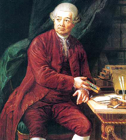
Ethnology (from the , meaning 'nation') is an academic field and discipline that compares and analyzes the characteristics of different peoples and the relationships between them (compare cultural, social, or sociocultural anthropology). Scientific discipline Compared to ethnography, the study of single groups through direct contact with the culture, ethnology takes the research that ethnographers have compiled and then compares and contrasts different cultures. The term ''ethnologia'' (''ethnology'') is credited to Adam Franz Koll√°r (1718‚Äď1783) who used and defined it in his ''Historiae ivrisqve pvblici Regni Vngariae amoenitates'' published in Vienna in 1783. as: "the science of nations and peoples, or, that study of learned men in which they inquire into the origins, languages, customs, and institutions of various nations, and finally into the fatherland and ancient seats, in order to be able better to judge the nations and peoples in their own times." Koll√°r's inter ... [...More Info...] [...Related Items...] OR: [Wikipedia] [Google] [Baidu] |
Neolithic
The Neolithic or New Stone Age (from Ancient Greek, Greek 'new' and 'stone') is an archaeological period, the final division of the Stone Age in Mesopotamia, Asia, Europe and Africa (c. 10,000 BCE to c. 2,000 BCE). It saw the Neolithic Revolution, a wide-ranging set of developments that appear to have arisen independently in several parts of the world. This "Neolithic package" included the History of agriculture, introduction of farming, domestication of animals, and change from a hunter-gatherer lifestyle to one of sedentism, settlement. The term 'Neolithic' was coined by John Lubbock, 1st Baron Avebury, Sir John Lubbock in 1865 as a refinement of the three-age system. The Neolithic began about 12,000 years ago, when farming appeared in the Epipalaeolithic Near East and Mesopotamia, and later in other parts of the world. It lasted in the Near East until the transitional period of the Chalcolithic (Copper Age) from about 6,500 years ago (4500 BCE), marked by the development ... [...More Info...] [...Related Items...] OR: [Wikipedia] [Google] [Baidu] |
Moravac
Moravac () is a village in the municipality of Aleksinac, Serbia. According to the 1,785 census, the village has a population of 154 people.Popis stanovniŇ°tva, domańáinstava i Stanova 2002. Knjiga 1: Nacionalna ili etnińćka pripadnost po naseljima. Republika Srbija, Republińćki zavod za statistiku Beograd 2003. Location Moravac is located in Aleksinac valley, on the east side of the South Morava river. Distance from: * Aleksinac: * NiŇ°: * KruŇ°evac: * Sokobanja Sokobanja ( sr-cyr, –°–ĺ–ļ–ĺ–Ī–į—ö–į, ) is a spa town and municipality located in the Zajeńćar District of the eastern Serbia. As of 2022, the population of the town is 7,188, while population of the municipality is 13,199. Geography Sokobanja ...: Prehistory Archaeological findings in the Moravac area show that this area was inhabited in prehistoric times. The famous Serbian historian and writer from the 19th century, Milutin Garasanin mentioned Moravac in his book ''The Prehistory of the Territory of ... [...More Info...] [...Related Items...] OR: [Wikipedia] [Google] [Baidu] |
South Morava
The South Morava (; Macedonian and Serbian: –ą—É–∂–Ĺ–į –ú–ĺ—Ä–į–≤–į, ''JuŇĺna Morava'', ) is a river in eastern Kosovo and in southern Serbia, which represents the shorter headwater of Great Morava. Today, it is long, including its source river Binańćka Morava. It flows generally in the south to north direction, from the Macedonian border to Kosovo and onwards to Central Serbia, where it meets West Morava at Stalańá, to create Great Morava. Sources The river rises in the Skopska Crna Gora mountain north of Skopje, in North Macedonia. The streams Kljuńćevska reka and Slatinska reka join to form the river Golema, which is, after passing the Macedonian-Serbian border, known as the Binańćka Morava. After 49 km it meets the Moravica (further upstream called PreŇ°evska Moravica) at Bujanovac, and for the remainder, 246 km, flows as the South Morava. Geography The South Morava belongs to the Black Sea drainage basin, and its own drainage area is 15,696 k ... [...More Info...] [...Related Items...] OR: [Wikipedia] [Google] [Baidu] |


