|
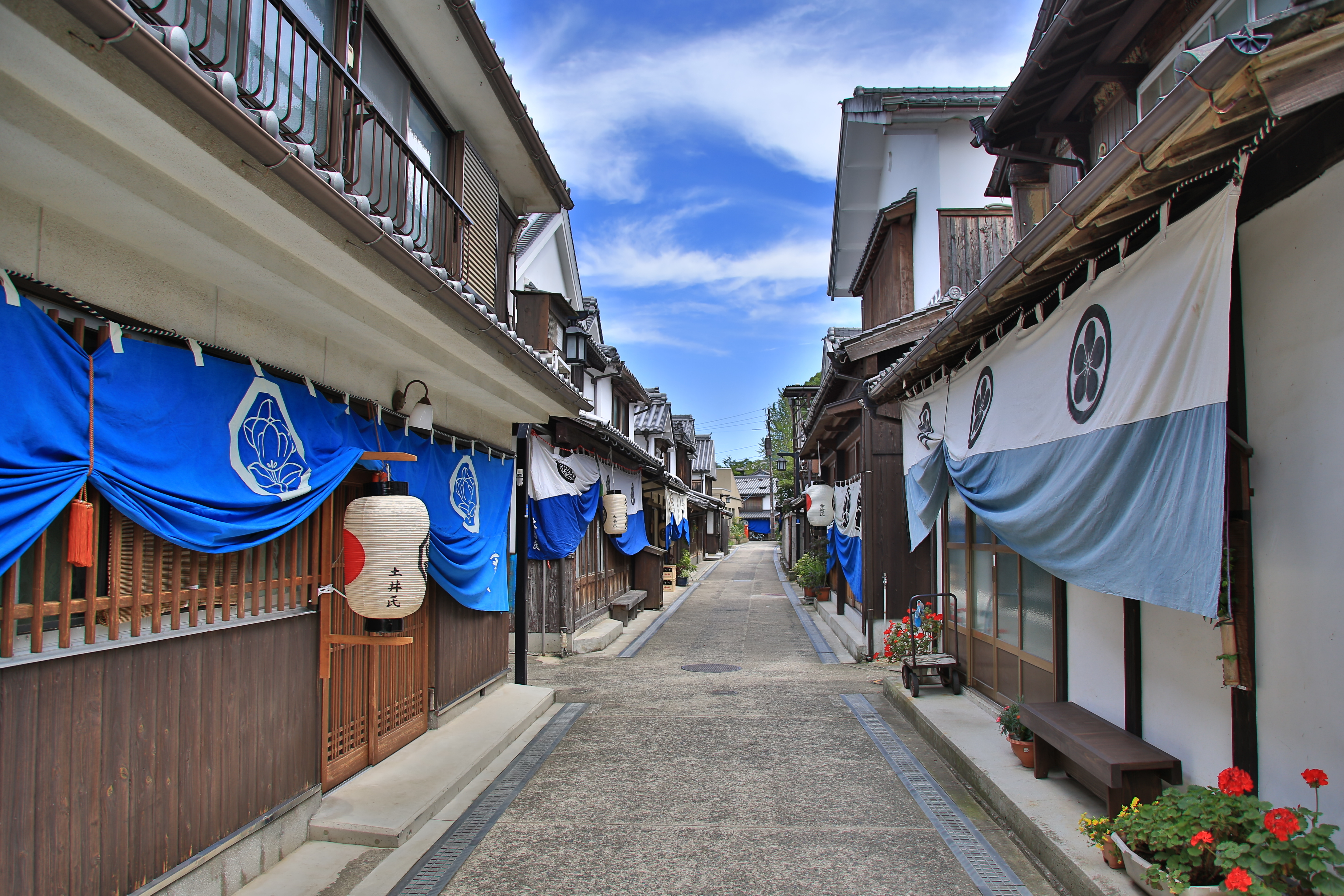
Ōsakishimojima
is an island in the Geiyo Islands of the Seto Inland Sea, off the southern coast of Honshu in the prefecture of Hiroshima Prefecture, Hiroshima in Japan. The island is best known for the town of , an important port of call for ships during the Edo era. Geography Ōsakishimojima means "Lower Ōsaki Island". It is located south of Ōsakikamijima (Upper Osaki Island) and southwest of Okamura Island. The island is a leading production site of mandarin oranges in Hiroshima prefecture. History With the development of the shipping route through the Seto Inland Sea in the Edo period, the town of Mitarai grew as a port for ships waiting for Ebb tide, rising tide or favourable winds. The Wakaebisuya ''ochaya, chaya'', the largest in the Seto Inland Sea, Inland Sea, employed over 100 women, and in ''The Inland Sea'', Donald Richie states that the ''daimyo'' of Kumamoto once spent a thousand gold pieces in one night there. The town was also frequented by political figures travelling to ... [...More Info...] [...Related Items...] OR: [Wikipedia] [Google] [Baidu] |
Geiyo Islands
The are a group of islands in the Seto Inland Sea, under the administration of Hiroshima Prefecture and Ehime Prefecture. Some of the largest islands in the archipelago are connected by the Nishiseto Expressway bridge system connecting Honshu and Shikoku, as well as the Akinada Tobishima Kaido from Kure, Hiroshima. The Geiyo Archipelago is roughly defined as lying in the western part of Seto Inland Sea, from to . A narrower definition of the archipelago only includes the islands between the former provinces of Iyo Province, Iyo and Bizen Province, Bizen. The islands in Hiroshima Bay, most notably Etajima and Kurahashi-jima, are therefore excluded from the latter definition. Economy and industry Due to the calm yet deep waters of the Seto Inland Sea, the Geiyo Islands are one of the main hubs of shipbuilding, fishing, and aquaculture in Japan. List of islands The largest islands in the group, each with an area of more than 20 km2, are: *Hakata, Ehime, Hakata *Ikuchi-jima * ... [...More Info...] [...Related Items...] OR: [Wikipedia] [Google] [Baidu] |
Yutaka, Hiroshima
was a town located in Toyota District, Hiroshima Prefecture, Japan. The town covered the majority of the island of Ōsakishimojima and outlying small islands of the Seto Inland Sea. As of 2003, the town had an estimated population of 2,706 and a density of 192.19 persons per km2. The total area was 14.08 km2. On March 20, 2005, Yutaka, along with the towns of Ondo, Kurahashi and Kamagari (all from Aki District), and the towns of Yasuura and Toyohama (all from Toyota District), was merged into the expanded city of Kure and no longer exists as an independent municipality A municipality is usually a single administrative division having municipal corporation, corporate status and powers of self-government or jurisdiction as granted by national and regional laws to which it is subordinate. The term ''municipality' .... External links Official website of Kure (somEnglish content Dissolved municipalities of Hiroshima Prefecture History of Kure, Hiroshima { ... [...More Info...] [...Related Items...] OR: [Wikipedia] [Google] [Baidu] |
