|
ĂÄąnarcÄąk Basin
The ĂÄąnarcÄąk Basin is a submarine tectonic basin located in the Sea of Marmara, in Turkey. Geography The ĂÄąnarcÄąk basin gets its name from ĂÄąnarcÄąk, a town and district of the Yalova Province in the Marmara region of Turkey. It is the easternmost of the three basins which run in direction EW in the sea, the other two being (from E to W) the central basin and the TekirdaÄ basin. Its maximum depth amounts to 1,276 m. Geology The ĂÄąnarcÄąk Basin is a transtensional basin which runs along the Princes' Islands segment of the northern branch of the North Anatolian Fault (NAF). However, in correspondence with the basin there is no evidence of a single strike-slip Fault, neither is visible a cross-basin fault or a pure strike-slip fault in correspondence of the northern margin; along the southern and northern edges seismic imaging shows many deep-penetrating faults. The basin hosted the nucleation points of many among the strongest earthquake An earthquakealso cal ... [...More Info...] [...Related Items...] OR: [Wikipedia] [Google] [Baidu] |
Tectonic Basin
A structural basin is a large-scale structural geology, structural formation of rock stratum, strata formed by tectonics, tectonic warping (Fold (geology), folding) of previously flat-lying strata into a syncline fold. They are geological depression (geology), depressions, the inverse of dome (geology), domes. Elongated structural basins are a type of geological Trough (geology), trough. Some structural basins are sedimentary basins, aggregations of sediment that filled up a depression or accumulated in an area; others were formed by tectonic events long after the sedimentary layers were deposited. Basins may appear on a geologic map as roughly circular or elliptical, with concentric layers. Because the strata dip toward the center, the exposed strata in a basin are progressively younger from the outside in, with the youngest rocks in the center. Basins are often large in areal extent, often hundreds of kilometers across. Structural basins are often important sources of coal, ... [...More Info...] [...Related Items...] OR: [Wikipedia] [Google] [Baidu] |
Sea Of Marmara
The Sea of Marmara, also known as the Sea of Marmora or the Marmara Sea, is a small inland sea entirely within the borders of Turkey. It links the Black Sea and the Aegean Sea via the Bosporus and Dardanelles straits, separating Turkey's European and Asian sides. It has an area of , and its dimensions are . Its greatest depth is . Name The Sea of Marmara is named after the largest island on its south side, called Marmara Island because it is rich in marble ( Greek , ''mĂĄrmaron'' 'marble'). In classical antiquity, it was known as the Propontis, from the Greek words ''pro'' 'before' and ''pontos'' 'sea', reflecting the fact that the Ancient Greeks used to sail through it to reach the Black Sea, which they called ''Pontos''. Mythology In Greek mythology, a storm on the Propontis brought the Argonauts back to an island they had left, precipitating a battle in which either Jason or Heracles killed King Cyzicus, who had mistaken them for his Pelasgian enemies. Geography ... [...More Info...] [...Related Items...] OR: [Wikipedia] [Google] [Baidu] |
ĂÄąnarcÄąk
ĂÄąnarcÄąk is a town in Yalova Province in the Marmara region of Turkey. It is the seat of ĂÄąnarcÄąk District.Ä°lçe Belediyesi Turkey Civil Administration Departments Inventory. Retrieved 22 May 2023. Its population is 20,454 (2022). ĂÄąnarcÄąk has a permanent population of about 20,000 but its location near Istanbul
Istanbul is the List of largest cities and towns in Turkey, largest city in Turkey, constituting the country's economic, cultural, and historical heart. With Demographics of Istanbul, a population over , it is home to 18% of the Demographics ... has made it a popular location for summer homes. On hot weekends during the ...
[...More Info...] [...Related Items...] OR: [Wikipedia] [Google] [Baidu] |
Yalova Province
Yalova Province () is a Provinces of Turkey, province in northwestern Turkey, on the eastern coast of the Sea of Marmara. Its adjacent provinces are Bursa Province, Bursa to the south and Kocaeli Province, Kocaeli to the east. Its area is 798 km2 (making it the smallest province of Turkey), and its population is 296,333 (2022). Prior to 1930, the area around Yalova constituted a district of Kocaeli Province; from 1930 to 1995, it was part of Istanbul Province; in 1995, the area was separated and made into the current Yalova Province. The provincial capital is the city of Yalova. Districts Yalova Province is divided into six Districts of Turkey, districts: * AltÄąnova District, AltÄąnova * Armutlu District, Armutlu * ĂiftlikkĂśy District, ĂiftlikkĂśy * ĂÄąnarcÄąk District, ĂÄąnarcÄąk * Termal District, Termal * Yalova District, Yalova Notable natives * Muharrem Ä°nce, Politician * Mehmet Okur, NBA basketball player * Ĺebnem Ferah, Singer * Ä°zel (singer), Ä°zel (Ä ... [...More Info...] [...Related Items...] OR: [Wikipedia] [Google] [Baidu] |
Transtension
Transtension is the state in which a rock mass or area of the Earth's crust (geology), crust experiences both ''extensive'' and ''transtensive'' Shear (geology), shear. As such, transtensional regions are characterised by both extensional structures (fault (geology), normal faults, grabens) and wrench structures (strike-slip faults). In general, many tectonic regimes that were previously defined as simple strike-slip shear zones are actually transtensional. It is unlikely that a deforming body will experience 'pure' extension or 'pure' strike-slip. Transtensional shear zones are characterized by the co-existence of different structures, related to both strike-slip shear and extension. End member structures include pure strike-slip faults and purely extensional ("normal") dip-slip faults. Faults which have components of both (termed 'oblique' slip faults) are abundant. Releasing bend ''Releasing bends'' are transtensional structures that form where the orientation of a strike-slip ... [...More Info...] [...Related Items...] OR: [Wikipedia] [Google] [Baidu] |
Princes' Islands
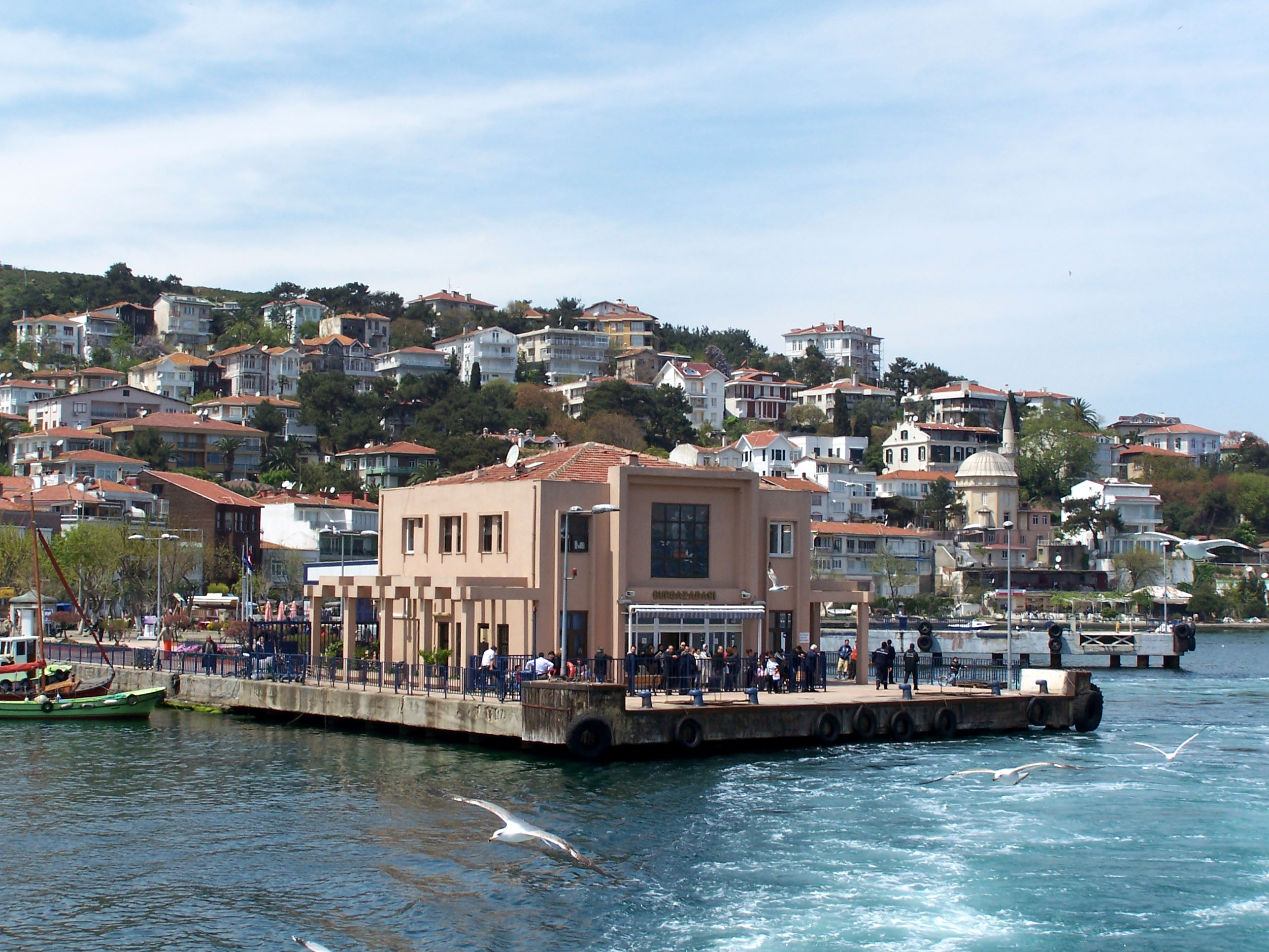
The Princes' Islands (; the word "princes" is plural, because the name means "Islands of the Princes", , ''Pringiponisia''), officially just Adalar (); alternatively the Princes' Archipelago; is an archipelago off the coast of Istanbul, Turkey, in the Sea of Marmara. The islands constitute the municipality and district of Adalar within Istanbul Province. With a total land area of , it is the fifth smallest district in Istanbul, and with a permanent population of 16,690 (2022), it is by far the least populous district in Istanbul. Adalar District is made up of the main 4 BĂźyĂźkada, KÄąnalÄąada, Burgazada and Heybeliada islands and the other smaller islands. Etymology There are several references to the islands in the ancient Greek period, when they went by the name (), often transliterated as ''Demonesi'' or ''Demonisi''. During the Middle Byzantine period the archipelago has been recorded by the 6th century lexicographer Hesychius of Alexandria as (), meaning "demon's ... [...More Info...] [...Related Items...] OR: [Wikipedia] [Google] [Baidu] |
North Anatolian Fault
The North Anatolian Fault (NAF; ) is an active right-lateral strike-slip fault in northern Anatolia, and is the transform boundary between the Eurasian plate and the Anatolian sub-plate. The fault extends westward from a junction with the East Anatolian Fault at the Karliova triple junction in eastern Turkey, across northern Turkey and into the Aegean Sea for a length of 1200â1500 kilometers. It runs about 20 km south of Istanbul. The North Anatolian Fault is similar in many ways to the San Andreas Fault in California. Both are continental transforms with similar lengths and slip rates. The Sea of Marmara near Istanbul is an extensional basin similar to the Salton Trough in California, where a releasing bend in the strike slip system creates a pull-apart basin. Significant earthquakes Since the disastrous 1939 Erzincan earthquake, there have been seven earthquakes measuring over 7.0 in magnitude, each happening at a point progressively further west. Seismologist ... [...More Info...] [...Related Items...] OR: [Wikipedia] [Google] [Baidu] |
Strike-slip Fault
In geology, a fault is a planar fracture or discontinuity in a volume of rock across which there has been significant displacement as a result of rock-mass movements. Large faults within Earth's crust result from the action of plate tectonic forces, with the largest forming the boundaries between the plates, such as the megathrust faults of subduction zones or transform faults. Energy release associated with rapid movement on active faults is the cause of most earthquakes. Faults may also displace slowly, by aseismic creep. A ''fault plane'' is the plane that represents the fracture surface of a fault. A '' fault trace'' or ''fault line'' is a place where the fault can be seen or mapped on the surface. A fault trace is also the line commonly plotted on geological maps to represent a fault. A ''fault zone'' is a cluster of parallel faults. However, the term is also used for the zone of crushed rock along a single fault. Prolonged motion along closely spaced faults can blur ... [...More Info...] [...Related Items...] OR: [Wikipedia] [Google] [Baidu] |
Earthquake
An earthquakealso called a quake, tremor, or tembloris the shaking of the Earth's surface resulting from a sudden release of energy in the lithosphere that creates seismic waves. Earthquakes can range in intensity, from those so weak they cannot be felt, to those violent enough to propel objects and people into the air, damage critical infrastructure, and wreak destruction across entire cities. The seismic activity of an area is the frequency, type, and size of earthquakes experienced over a particular time. The seismicity at a particular location in the Earth is the average rate of seismic energy release per unit volume. In its most general sense, the word ''earthquake'' is used to describe any seismic event that generates seismic waves. Earthquakes can occur naturally or be induced by human activities, such as mining, fracking, and nuclear weapons testing. The initial point of rupture is called the hypocenter or focus, while the ground level directly above it is the ... [...More Info...] [...Related Items...] OR: [Wikipedia] [Google] [Baidu] |
1509 Constantinople Earthquake
The 1509 Constantinople earthquake or historically ('Minor Judgment Day') occurred in the Sea of Marmara on 10 September 1509 at about 22:00. The earthquake had an estimated magnitude of on the surface-wave magnitude scale. A tsunami and 45 days of aftershocks followed the earthquake. The death toll of this earthquake is poorly known; estimates range between 1,000 and 13,000. Background The Sea of Marmara is a pull-apart basin formed at a releasing bend in the North Anatolian Fault, a right-lateral strike-slip fault. This local zone of extension occurs where this transform boundary between the Anatolian plate and the Eurasian plate steps northwards to the west of Izmit from the Izmit Fault to the Ganos Fault. The pattern of faults within the Sea of Marmara basin is complex but near Istanbul there is a single main fault segment with a sharp bend. To the west, the fault trends westâeast and is pure strike-slip in type. To the east, the fault is NW-SE trending and shows evi ... [...More Info...] [...Related Items...] OR: [Wikipedia] [Google] [Baidu] |
1766 Istanbul Earthquake
The 1766 Istanbul earthquake was a strong earthquake with epicenter in the eastern part of the Sea of Marmara, in the ĂÄąnarcÄąk Basin (or near the Princes' Islands, north of the basin) which occurred in the early hours of Thursday morning, 22 May 1766. The earthquake had an estimated magnitude of 7.1 on the surface-wave magnitude scale, and caused effects in a vast area extending from Izmit to Rodosto (now TekirdaÄ). In this area, the earthquake was followed by a tsunami which caused significant damage. The earthquake of 1766 was the last major earthquake to rock Istanbul because of a rupture of the North Anatolian Fault in the Marmara region. Geology The Sea of Marmara is a pull-apart basin formed at a releasing bend in the North Anatolian Fault (NAF), a right-lateral strike-slip fault. East of the Sea of Marmara the NAF splits into three major branches; while the sinuous southern branch goes inland in a southwesterly direction up to AyvacÄąk, where it reaches the Aegean S ... [...More Info...] [...Related Items...] OR: [Wikipedia] [Google] [Baidu] |
Epicenter
The epicenter (), epicentre, or epicentrum in seismology is the point on the Earth's surface directly above a hypocenter or focus, the point where an earthquake or an underground explosion originates. Determination The primary purpose of a seismometer is to locate the initiating points of earthquake epicenters. The secondary purpose, of determining the 'size' or magnitude must be calculated after the precise location is known. The earliest seismographs were designed to give a sense of the direction of the first motions from an earthquake. The Chinese frog seismograph would have dropped its ball in the general compass direction of the earthquake, assuming a strong positive pulse. We now know that first motions can be in almost any direction depending on the type of initiating rupture ( focal mechanism). The first refinement that allowed a more precise determination of the location was the use of a time scale. Instead of merely noting, or recording, the absolute motions of ... [...More Info...] [...Related Items...] OR: [Wikipedia] [Google] [Baidu] |


