|
Årøya
or is an island in Alta Municipality in Finnmark county, Norway. The island is located in the Altafjorden, about north of the town of Alta. The island is only accessible by boat. There is a regular ferry connection between the village of Kongshus on Årøya and Mikkelsby on the mainland, just northwest of the village of Leirbotn. The island is the site of the remains of the old Altenhus Fortress in the village of Kongshus. The old fortress was built in 1610. See also *List of islands of Norway This is a list of islands of Norway sorted by name. For a list sorted by area, see List of islands of Norway by area. A * Alden * Aldra * Algrøy * Alsta * Altra * Anda * Andabeløya * Andørja * Andøya, Vesterålen * Andøya, Agder ... References Alta, Norway Islands of Finnmark {{Finnmark-geo-stub ... [...More Info...] [...Related Items...] OR: [Wikipedia] [Google] [Baidu] |
Altenhus Fortress
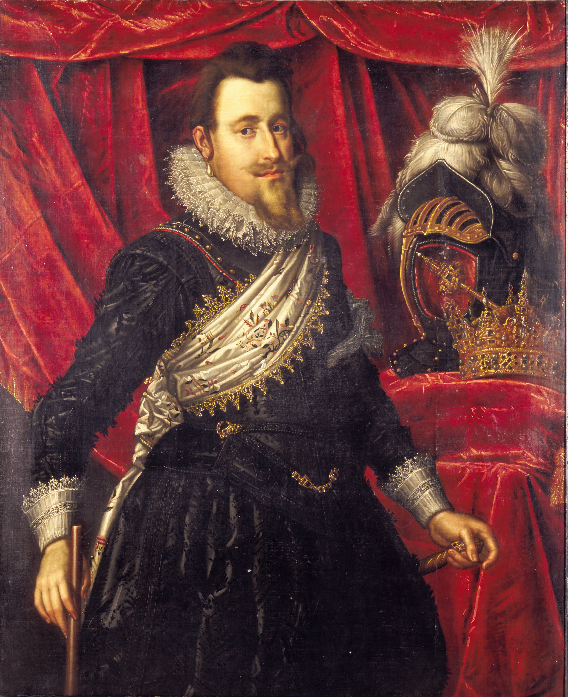
Altenhus Fortress (; also Kongshus Fortress) was a fortification built on the island of Årøya in Finnmark county in Norway in 1610. The area is part of the present-day Alta Municipality. Altenhus Fortress was intended to prevent Swedish incursions into the area, and secure the rich salmon fisheries for the Denmark–Norway, Dano-Norwegian state. The structure only remained in military use for three years, before being abandoned and used as a prison until 1692, when the timber of the fortress' blockhouse was used in the construction of a church. Background Due to the ongoing struggles between Denmark–Norway and the Swedish Empire in the early 1600s, the Dano-Norwegian king, Christian IV of Denmark, Christian IV wanted to secure the western areas of the border-less far northern region of Finnmark against Swedish incursions. By building a fortress on the island of Årøya in the Altafjord, the rich salmon fisheries of the Altaelva, Alta River could also be protected. Christian I ... [...More Info...] [...Related Items...] OR: [Wikipedia] [Google] [Baidu] |
Altafjorden
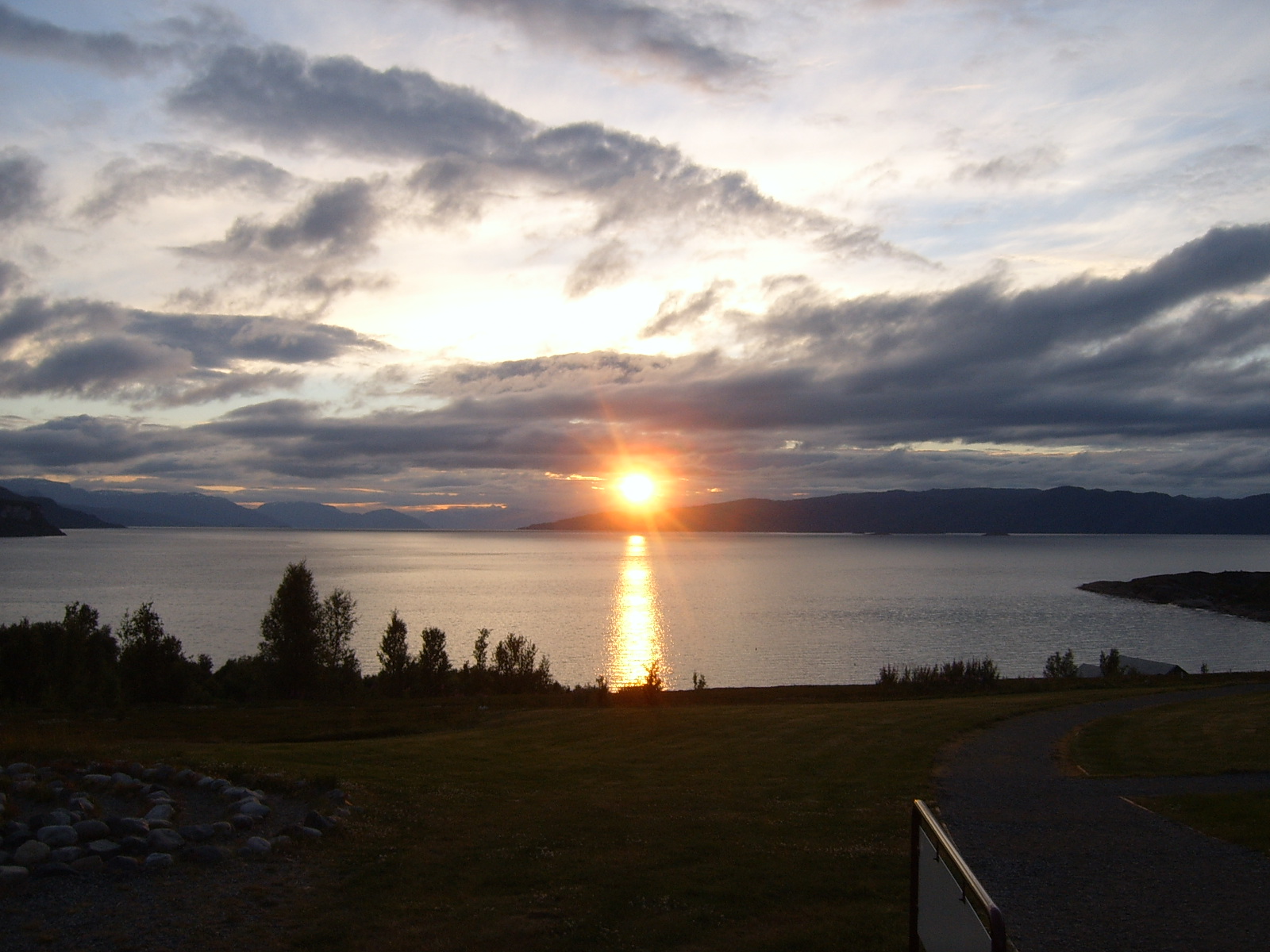
The Altafjord (; ; ) is a fjord in Alta Municipality in Finnmark county, Norway. The long fjord stretches from the town of Alta in the south to the islands of Stjernøya and Seiland. The long river Altaelva empties into the fjord at the town of Alta. At Stjernøya and Seiland islands, the fjord splits into two straits before emptying into the Norwegian Sea. Some of the larger side-branches off the main fjord include Langfjorden, Kåfjorden, and Korsfjorden. The fjord was historically known as "Altenfjord", and was referred to as such by British historians throughout most of the 20th century. History Prehistoric culture A large number of prehistoric rock carvings have been found along the fjord, particularly at the bay Jiepmaluokta. These locations at Kåfjord, Jiepmaluokta, and Amtmannsnes are assigned a UNESCO World Heritage Site. The petroglyphs are dated from 4,200 BC to 500 BC, based on old shorelines and nearby prehistoric settlements. World War II During Wo ... [...More Info...] [...Related Items...] OR: [Wikipedia] [Google] [Baidu] |
Finnmark
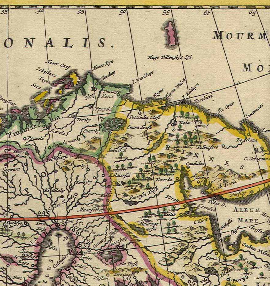
Finnmark (; ; ; ; ) is a counties of Norway, county in northern Norway. By land, it borders Troms county to the west, Finland's Lapland (Finland), Lapland region to the south, and Russia's Murmansk Oblast to the east, and by water, the Norwegian Sea (Atlantic Ocean) to the northwest, and the Barents Sea (Arctic Ocean) to the north and northeast. The county was formerly known as ''Finmarkens amt'' or ''Vardøhus amt''. Since 2002, it has had two official names: Finnmark (Norwegian language, Norwegian) and Finnmárku (Northern Sami language, Northern Sami). It is part of the Sápmi region, which spans four countries, as well as the Barents Region, and is Norway's second-largest and least populous county. Situated at the northernmost part of continental Europe, where the Norwegian coastline swings eastward, Finnmark is an area "where East meets West" in culture as well as in nature and geography. Vardø Municipality, Norway's easternmost municipality, is farther east than Saint ... [...More Info...] [...Related Items...] OR: [Wikipedia] [Google] [Baidu] |
Norway
Norway, officially the Kingdom of Norway, is a Nordic countries, Nordic country located on the Scandinavian Peninsula in Northern Europe. The remote Arctic island of Jan Mayen and the archipelago of Svalbard also form part of the Kingdom of Norway. Bouvet Island, located in the Subantarctic, is a Dependencies of Norway, dependency, and not a part of the Kingdom; Norway also Territorial claims in Antarctica, claims the Antarctic territories of Peter I Island and Queen Maud Land. Norway has a population of 5.6 million. Its capital and largest city is Oslo. The country has a total area of . The country shares a long eastern border with Sweden, and is bordered by Finland and Russia to the northeast. Norway has an extensive coastline facing the Skagerrak strait, the North Atlantic Ocean, and the Barents Sea. The unified kingdom of Norway was established in 872 as a merger of Petty kingdoms of Norway, petty kingdoms and has existed continuously for years. From 1537 to 1814, Norway ... [...More Info...] [...Related Items...] OR: [Wikipedia] [Google] [Baidu] |
Alta Municipality
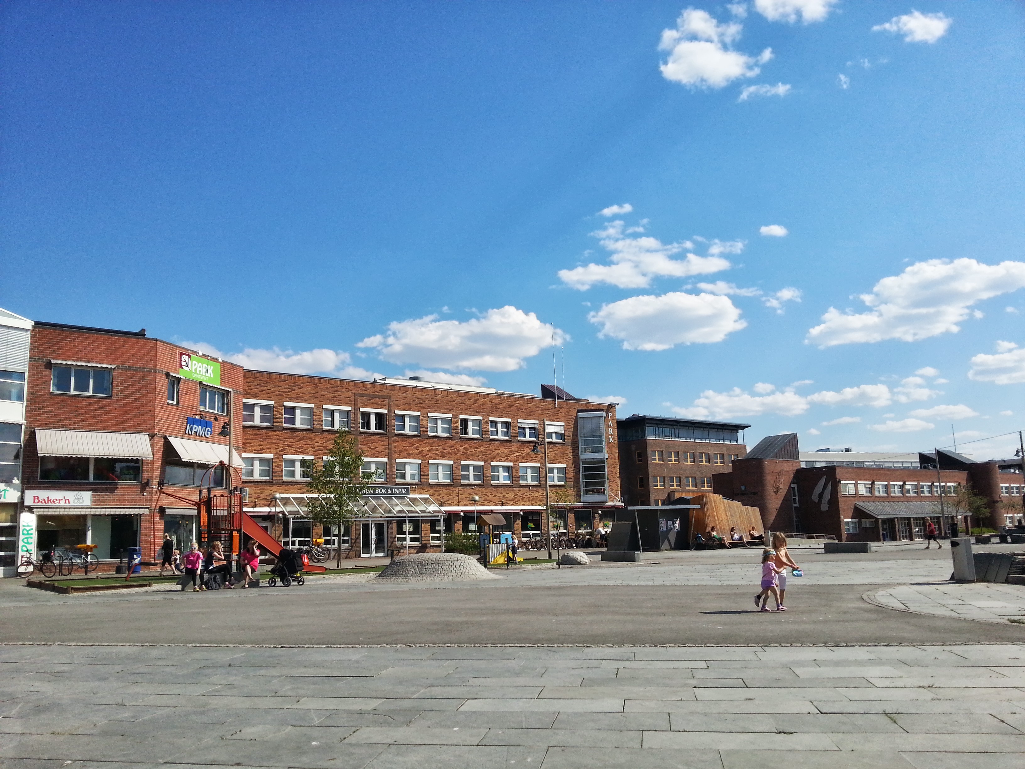
Alta (; ; ; ) is the most populated List of municipalities of Norway, municipality in Finnmark Counties of Norway, county, Norway. The administrative centre of the municipality is the Alta (town), town of Alta. Some of the main villages in the municipality include KĂĄfjord, Alta, KĂĄfjord, Komagfjord, Kvenvik, Langfjordbotn, Alta, Langfjordbotn, Leirbotn, Rafsbotn, Talvik, Norway, Talvik, and Tverrelvdalen. The town of Alta and most of the municipality is located just below the 70th parallel north, 70th latitude and is closer to the North Pole than it is to much of Central Europe and the British Isles. The town is the northernmost settlement of urban significance in the European Economic Area, with municipalities north of Alta being sparsely populated. In spite of its high latitude Alta Municipality#Climate, the local climate is seldom severely cold thanks to Gulf Stream moderation in the prevailing wind, and lower altitudes of the municipality are covered with boreal forests. ... [...More Info...] [...Related Items...] OR: [Wikipedia] [Google] [Baidu] |
Norwegian Mapping Authority
The Norwegian Mapping Authority (NMA) () is Norway's national mapping agency, dealing with land surveying, geodesy Geodesy or geodetics is the science of measuring and representing the Figure of the Earth, geometry, Gravity of Earth, gravity, and Earth's rotation, spatial orientation of the Earth in Relative change, temporally varying Three-dimensional spac ..., hydrographic surveying, cadastre and cartography. The current director is Johnny Welle. Its headquarters are in Hønefoss in Ringerike Municipality. It is a public agency under the Ministry of Local Government and Regional Development. NMA was founded in 1773. The Norwegian Mapping Authority participates in research and development and cooperates with Norwegian industry and other government agencies in areas such as export-oriented measures. Tasks The NMA carries out the following tasks: *Define frameworks, methodologies and specifications for the Norwegian Spatial Data Infrastructure *Administrator and drivin ... [...More Info...] [...Related Items...] OR: [Wikipedia] [Google] [Baidu] |
Island
An island or isle is a piece of land, distinct from a continent, completely surrounded by water. There are continental islands, which were formed by being split from a continent by plate tectonics, and oceanic islands, which have never been part of a continent. Oceanic islands can be formed from volcano, volcanic activity, grow into atolls from coral reefs, and form from sediment along shorelines, creating barrier islands. River islands can also form from sediment and debris in rivers. Artificial islands are those made by humans, including small rocky outcroppings built out of lagoons and large-scale land reclamation projects used for development. Islands are host to diverse plant and animal life. Oceanic islands have the sea as a natural barrier to the introduction of new species, causing the species that do reach the island to evolve in isolation. Continental islands share animal and plant life with the continent they split from. Depending on how long ago the continental is ... [...More Info...] [...Related Items...] OR: [Wikipedia] [Google] [Baidu] |


