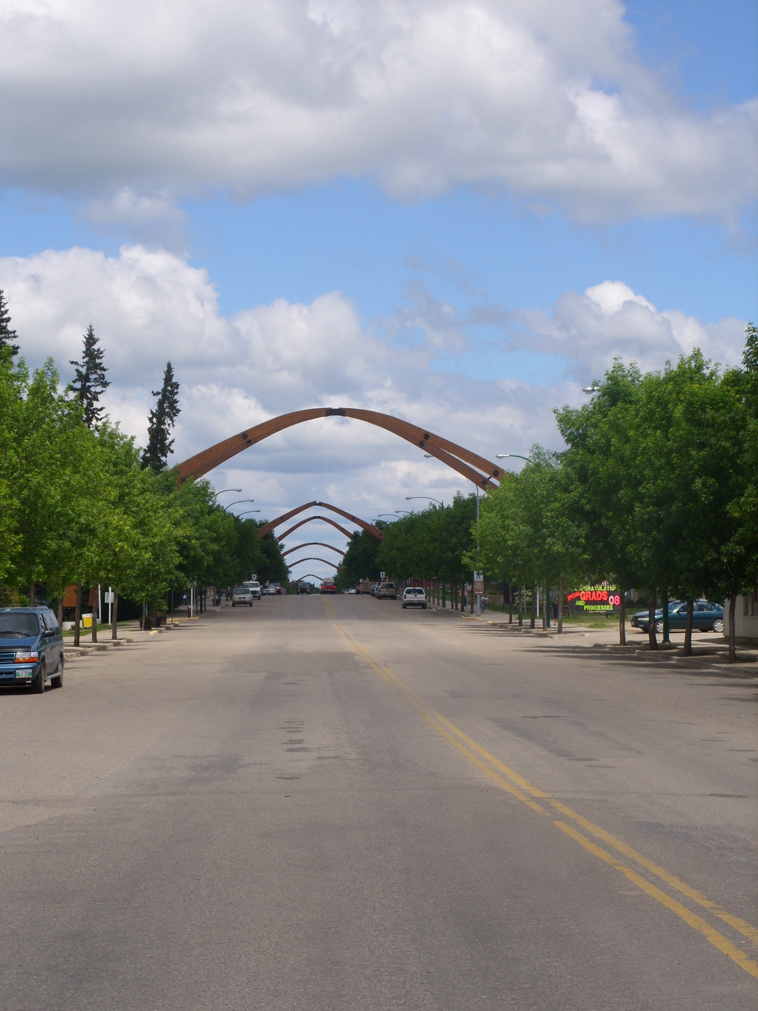
Division No. 16, Manitoba on:
[Wikipedia]
[Google]
[Amazon]
Census Division No. 16 is a census division located within the Parklands Region of the province of
 * Binscarth
* Roblin
* Rossburn
* Russell
Manitoba Community Profiles: Roblin, Russell, Rossburn Area
16 {{Manitoba-geo-stub
Manitoba
, image_map = Manitoba in Canada 2.svg
, map_alt = Map showing Manitoba's location in the centre of Southern Canada
, Label_map = yes
, coordinates =
, capital = Winn ...
, Canada
Canada is a country in North America. Its ten provinces and three territories extend from the Atlantic Ocean to the Pacific Ocean and northward into the Arctic Ocean, covering over , making it the world's second-largest country by tot ...
. Unlike in some other provinces, census divisions do not reflect the organization of local government in Manitoba. These areas exist solely for the purposes of statistical analysis and presentation; they have no government of their own.
The economy of the area is agriculture
Agriculture or farming is the practice of cultivating plants and livestock. Agriculture was the key development in the rise of sedentary human civilization, whereby farming of domesticated species created food surpluses that enabled people t ...
and livestock
Livestock are the domesticated animals raised in an agricultural setting to provide labor and produce diversified products for consumption such as meat, eggs, milk, fur, leather, and wool. The term is sometimes used to refer solely to animal ...
. The population of the region as of the 2006 census was 9,945. Also included in the division are the main reserves of the Gamblers First Nation, the Tootinaowaziibeeng First Nation (Valley River), and the Waywayseecappo First Nation
The Waywayseecappo First Nation ( oj, Wewezhigaabawing) is a First Nations band government whose reserve is located twenty miles (32 km) east of Russell, Manitoba, Canada. The First Nation's reserve is 10,059 hectare (24,856 acres) and is loca ...
.
Demographics
In the2021 Census of Population
The 2021 Canadian census was a detailed enumeration of the Canadian population with a reference date of May 11, 2021. It follows the 2016 Canadian census, which recorded a population of 35,151,728. The overall response rate was 98%, which is sli ...
conducted by Statistics Canada, Division No. 16 had a population of living in of its total private dwellings, a change of from its 2016 population of . With a land area of , it had a population density of in 2021.
Unincorporated communities
Municipalities
* Roblin * Riding Mountain West * Rossburn * Russell – BinscarthReserves
*Gambler 63
Gambler First Nation (GFN, oj, Ataagewininiing meaning ''gambling man place'') is an Ojibway First Nations community in Manitoba. With a population of 334 members, it is one of the smallest indigenous communities in Manitoba.
Its main reserve, ...
(part)
* Valley River 63A
* Waywayseecappo First Nation
The Waywayseecappo First Nation ( oj, Wewezhigaabawing) is a First Nations band government whose reserve is located twenty miles (32 km) east of Russell, Manitoba, Canada. The First Nation's reserve is 10,059 hectare (24,856 acres) and is loca ...
References
External links
Manitoba Community Profiles: Roblin, Russell, Rossburn Area
16 {{Manitoba-geo-stub