|
Pranhita
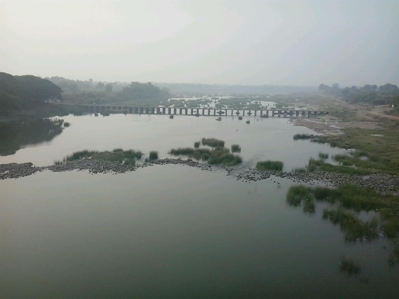
The Pranhita River is the largest tributary of Godavari River covering about 34% of its drainage basin conveying the combined waters of the Penganga River, the Wardha River, and the Wainganga River. By virtue of its extensive network of tributaries, the river drains a large part of Vidarbha region in Maharashtra, as well as the southern slopes of the Satpura Range in southeast Madhya Pradesh. It flows along the border of Gadchiroli district in Maharashtra and Komaram Bheem Asifabad district in Telangana. The Pranahita sub-basin is the seventh largest in India, measuring about 109,078 km2, making it larger than the individual basins of significant rivers such as the Narmada River and Kaveri. Origin The Pranhita River begins at the confluence of two extensive rivers: the Wardha (catchment area: 46,237 km2) and the Wainganga (catchment area: 49,677 km2). This junction lies on the border between the states of Maharashtra and Telangana near TumdiHettty,Kout ... [...More Info...] [...Related Items...] OR: [Wikipedia] [Google] [Baidu] |
Godavari River
The Godavari (IAST: ''Godāvarī'' �od̪aːʋəɾiː is India's second longest river after the Ganga river and drains into the third largest basin in India, covering about 10% of India's total geographical area. Its source is in Trimbakeshwar, Nashik, Maharashtra. It flows east for , draining the states of Maharashtra (48.6%), Telangana (18.8%), Andhra Pradesh (4.5%), Chhattisgarh (10.9%) and Odisha (5.7%). The river ultimately empties into the Bay of Bengal through an extensive network of tributaries. Measuring up to , it forms one of the largest river basins in the Indian subcontinent, with only the Ganga and Indus rivers having a larger drainage basin. In terms of length, catchment area and discharge, the Godavari is the largest in peninsular India, and had been dubbed as the Dakshina Ganga (Ganges of the South). The river has been revered in Hindu scriptures for many millennia and continues to harbour and nourish a rich cultural heritage. In the past few decades, the rive ... [...More Info...] [...Related Items...] OR: [Wikipedia] [Google] [Baidu] |
Kaleshwaram Lift Irrigation Project
The Kaleshwaram Lift Irrigation Project (KLIP) is a multi-purpose irrigation project on the Godavari River in Kaleshwaram, Bhupalpally, Telangana, India. Currently the world's largest multi-stage lift irrigation project, its farthest upstream influence is at the confluence of the Pranhita and Godavari rivers. The Pranahita River is itself a confluence of various smaller tributaries including the Wardha, Painganga, and Wainganga rivers which combine to form the seventh-largest drainage basin on the subcontinent, with an estimated annual discharge of more than or 280 TMC. It remains untapped as its course is principally through dense forests and other ecologically sensitive zones such as wildlife sanctuaries. The Kaleshwaram Lift Irrigation Project is divided into 7 links and 28 packages spanning a distance of approximately through 13 districts and utilizing a canal network of more than . The project aims to produce a total of 240 TMC (195 from Medigadda Barrage, 20 from ... [...More Info...] [...Related Items...] OR: [Wikipedia] [Google] [Baidu] |
Wardha River
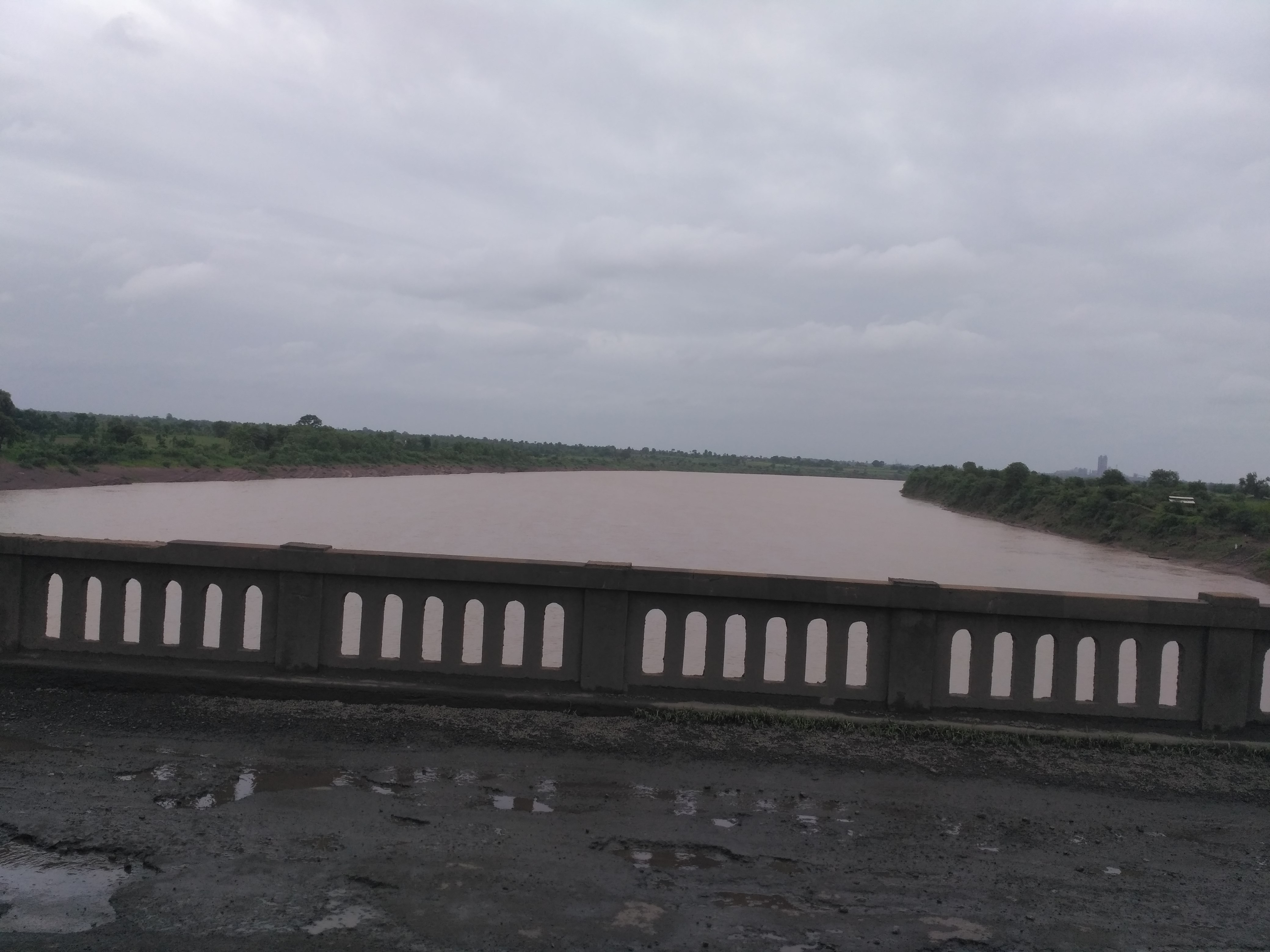
The Wardha River, also known as the Varada River, is a major river in Vidarbha, Maharashtra, which originates in the Satpura Range and flows into the Wain ganga river to form the Pranhita river which finally joins the Godavari river. Origin The Wardha river originates at an altitude of in the Satpura Range near Khairwani village in Multai tehsil, Betul District, Madhya Pradesh. Course From its origin, it flows for in Madhya Pradesh and then enters into Maharashtra. After travelling for another , it joins the Wainganga, forming the Pranahita, which ultimately flows into the Godavari River. Tributaries The Kar, Wena, Jam, and Erai are its left-bank tributaries, while the Madu, Bembala, and Penganga are its right-bank tributaries. The Bembla, is also an important tributary of River Wardha. Dams The Upper Wardha Dam is located on the Wardha river near Morshi. It is considered a lifeline for the city of Amravati and the Morshi and Warud Talukas. The Lower Wa ... [...More Info...] [...Related Items...] OR: [Wikipedia] [Google] [Baidu] |
Pushkaram
Pushkaram is an Indian festival dedicated to worshiping of rivers. It is also known as ''Pushkaralu'' (in Telugu), ''Pushkara'' (in Kannada) or ''Pushkar''. It is celebrated at shrines along the banks of 12 major sacred rivers in India, in the form of ancestor worship, spiritual discourses, devotional music and cultural programmes. The celebration happens annually, once in 12 years along each river. Each river is associated with a zodiac sign, and the river for each year's festival is based on which sign Jupiter is in at the time. Due to regional variations, some of the zodiac signs are associated with multiple rivers. Tradition According to a legend mentioned in astrology treatises such as '' Jataka Parijata'' (1426), a Brahmin was granted a boon from Shiva after severe penance. The boon was that he would be able to live in water and purify the holy rivers. The Brahmin came to be known as ''Pushkara'' ("the one who nourishes"). On a request from Bṛhaspati (Jupiter), he decide ... [...More Info...] [...Related Items...] OR: [Wikipedia] [Google] [Baidu] |
Sironcha
Sironcha is a town and municipal council in Gadchiroli district of Maharashtra state in India. It connected with NH-63. History Historically, Sironcha was a key location for the East India Company from Nizam perspective, it was the Southern tehsil of Chanda District, Central Provinces. In 1901, Sironcha tehsil area was , and its population was 51,148. The transfer of the taluks of Nugur, Albaka, and Cherla of the Sironcha tehsil, covering an area of and containing 142 villages with 20,218 persons, to the Madras Presidency had been sanctioned, but further details of administration were being considered. In 1905, an area of of the Chanda tahsil, of which 2,600 were in the Ahiri zamindari estate, was transferred to Sironcha. By 1908, the revised totals of area and population of the Sironcha tahsil were and 55,465 persons. The population in 1891 of the area constituting the tahsil in 1908 was 51,732. The density was , and the tahsil contained 421 inhabited villages. In 190 ... [...More Info...] [...Related Items...] OR: [Wikipedia] [Google] [Baidu] |
Komaram Bheem Asifabad District
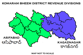
Komaram Bheem Asifabad district, officially known as Kumuram Bheem Asifabad district, is a district in the Indian state of Telangana. The town of Asifabad is its district headquarters. It is named after Gond tribal leader Komaram Bheem. It was earlier part of Adilabad district and it became a new district in 2016. The district share boundaries with Adilabad, Nirmal, Mancherial districts and with the state boundary of Maharashtra. It is the second most backward district in India, according to the 2018 NITI Aayog ranking. History The predominantly tribal region around the town of Asifabad was ruled by many dynasties like the Kakatiyas, Mauryas, Satavahanas, Chalukyas, Qutub Shahis and Asaf Jahis. In the early 20th century, the district was known as ''Jangam'' and Asifabad served as its headquarters. In 1905, the district was merged into the neighbouring Adilabad district. In 1913, Asifabad was made as headquarters of the district prior to the status being lost to Adilabad ... [...More Info...] [...Related Items...] OR: [Wikipedia] [Google] [Baidu] |
Sirpur (T)
Sirpur (T) is a town and a mandal in Komaram Bheem district of the Indian state of Telangana. History Sirpur, formerly known as Suryapuram, was ruled by the Gond King, Ballala. The Gond King, Bhim Ballal Sing built Sirpur Fort in 9th century AD. The modern town grew around the fort. In 1724 AD, Nizam-e-Mulk defeated Mubariz Khan and took possession of the Deccan and began to rule. In 1773, Madhoji Bhonsle entered into an agreement with Nizam Ali Khan, Nizam of Hyderabad by which he agreed to cede Manikgarh (Rajura of Chandrapur) with surrounding territories south of Penganga to the Nizam, in return for the forts of Gavilgarh and Narnala of Amaravati district - Berar. As a result of Third Anglo-Maratha War between the British and Raghoji II Bhonsle, the latter ceded the territory of Berar to British who, in turn, passed it on to Nizam under treaty and obligation for cooperation in war. The area was initially a sub-district called Sirpur-Tandur carved out in 1872 and co ... [...More Info...] [...Related Items...] OR: [Wikipedia] [Google] [Baidu] |
Wainganga
The Wainganga is a river in India originating in the Mahadeo Hills in Mundara near the village Gopalganj in Seoni, Madhya Pradesh. It is a key tributary of the Godavari. The river flows south in a winding course through the states of Madhya Pradesh and Maharashtra, roughly . After joining the Wardha River, the united stream, which is known as the Pranahita River, empties into the Godavari River at Kaleshwaram, Telangana. Course The main stream of the Wainganga originates at Mahadev hills near Gopalganj, Seoni District, on the southern slopes of the Satpura Range of Madhya Pradesh. The river has developed extensive floodplains characterized by sweeping graceful meanders, low alluvial flats, and slip-off slopes. The river has high banks, which measure from to on either side. The northern part is surrounded by the Mahadeo hills and Satpura Range, with an average elevation of 625 m (2,051 ft) above sea level. The valley of the Wainganga River is forested and sparsely ... [...More Info...] [...Related Items...] OR: [Wikipedia] [Google] [Baidu] |
Penganga River
The Painganga River (also known as the Penganga River) is the chief river of the Buldhana district, Hingoli district, Nanded district, Yavatmal district, Chandrapur district and Washim district in the Maharashtra state in India. It flows along the southeast boundaries of the district in a winding, meandering course. It is deeply entrenched and difficult to navigate. It rises in the Ajantha range and is a major tributary of the Wardha River, the other major river in the district. It is also divided Marathwada and Vidarbha near Umarkhed. There is a small railway station named after the river in the Washim district. River course The total length of the river is . The Painganga River originates in the Ajantha ranges in Aurangabad district in Maharashtra. It then flows through Buldhana district and Washim district. It flows through Risod Tehsil of Washim where it gets Kas river as the tributary near Shelgaon Rajgure village and then flows through the border of Washim and Hingoli di ... [...More Info...] [...Related Items...] OR: [Wikipedia] [Google] [Baidu] |
Wainganga River
The Wainganga is a river in India originating in the Mahadeo Hills in Mundara near the village Gopalganj in Seoni, Madhya Pradesh. It is a key tributary of the Godavari. The river flows south in a winding course through the states of Madhya Pradesh and Maharashtra, roughly . After joining the Wardha River, the united stream, which is known as the Pranahita River, empties into the Godavari River at Kaleshwaram, Telangana. Course The main stream of the Wainganga originates at Mahadev hills near Gopalganj, Seoni District, on the southern slopes of the Satpura Range of Madhya Pradesh. The river has developed extensive floodplains characterized by sweeping graceful meanders, low alluvial flats, and slip-off slopes. The river has high banks, which measure from to on either side. The northern part is surrounded by the Mahadeo hills and Satpura Range, with an average elevation of 625 m (2,051 ft) above sea level. The valley of the Wainganga River is forested and sparse ... [...More Info...] [...Related Items...] OR: [Wikipedia] [Google] [Baidu] |
India
India, officially the Republic of India (Hindi: ), is a country in South Asia. It is the seventh-largest country by area, the second-most populous country, and the most populous democracy in the world. Bounded by the Indian Ocean on the south, the Arabian Sea on the southwest, and the Bay of Bengal on the southeast, it shares land borders with Pakistan to the west; China, Nepal, and Bhutan to the north; and Bangladesh and Myanmar to the east. In the Indian Ocean, India is in the vicinity of Sri Lanka and the Maldives; its Andaman and Nicobar Islands share a maritime border with Thailand, Myanmar, and Indonesia. Modern humans arrived on the Indian subcontinent from Africa no later than 55,000 years ago., "Y-Chromosome and Mt-DNA data support the colonization of South Asia by modern humans originating in Africa. ... Coalescence dates for most non-European populations average to between 73–55 ka.", "Modern human beings—''Homo sapiens''—originated in Africa. Then, interm ... [...More Info...] [...Related Items...] OR: [Wikipedia] [Google] [Baidu] |
Wardha River At Pulgaon
Wardha is a city and a municipal council in Wardha district in the Indian state of Maharashtra. It is the administrative headquarters of Wardha district. Wardha gets its name from the Wardha River which flows at the north, west and south boundaries of the district. Founded in 1866, the town is now an important centre for the cotton trade. It was an important part of the Gandhian era. It has various parks and playgrounds. History Wardha was included in the empire of the Mauryas, Shungas, Satavahanas and Vakatakas. Pravarapura, modern Pavnar, was once the capital of the Vakataka dynasty. Vakatakas were contemporaries of the Imperial Guptas. Prabhavatigupta, the daughter of Chandragupta II (Vikramaditya), was married to the Vakataka ruler Rudrasena. The period of the Vakatakas was from the 2nd to the 5th century CE. The empire stretched from the Arabian Sea in the west to the Bay of Bengal in the east, and from the Narmada River in the north to the Krishna-Godavari delta in ... [...More Info...] [...Related Items...] OR: [Wikipedia] [Google] [Baidu] |


