|
Yagishiri
is a small, sparsely populated island in the Sea of Japan, northwest of Haboro Bay in Haboro, Hokkaido. The island, along with neighboring Teuri Island on its west side, belongs to the town of Haboro in Rumoi Subprefecture. It is noted for its dense forests; fully two-thirds of it remains forested. History Yagishiri Island, like nearby Teuri, became a base for the fishing of Pacific herring beginning in 1786. In the modern period Yagishiri Island has seen a long-term population decline: in 1947 there were 2,283 residents, by 1972 the number had fallen to 1,073, and in 2010 the population had fallen to 273. Geography Yagishiri is located east of Teuri Island, and the two islands are separated by the Musashi Channel. The island is approximately long from east to west, from north to south and covers . It has a coastline of roughly . Yagishiri is flatter than nearby Teuri and reaches an elevation at its center of only . Yagishiri Island is primarily composed of Tertiary- ... [...More Info...] [...Related Items...] OR: [Wikipedia] [Google] [Baidu] |
Haboro, Hokkaido
290px, Awaiwa on Teuri Island 290px, Haboro town center area is a town located in Rumoi Subprefecture, Hokkaido, Japan., the town had an estimated population of 5,932 in 3315 households, and a population density of 13 people per km2. The total area of the town is . Geography Haboro faces the Sea of Japan. Much of the area of the town is within the Teshio Mountains, and much of the town is protected as a national forest. Mount Pisshiri is the highest point in the city at . Two rivers cross the town: the Haboro and the Chikubetsu. Islands The municipality of Haboro includes two sparsely populated islands in the Sea of Japan. * Yagishiri Island (), population 273, is located northwest of Haboro Bay, and is known for its dense forests. *Teuri Island, population 366, is located west of Yagashiri, and the two islands are separated by the Musashi Channel. Teuri covers , and is protected as a bird sanctuary. Neighboring municipalities * Rumoi Subprefecture ** Tomamae Districtï ... [...More Info...] [...Related Items...] OR: [Wikipedia] [Google] [Baidu] |
Teuri Island
Teuri Island (倩売島 Teuri-tÅ) is an island in the Sea of Japan 30 km west of Haboro port in Haboro, Tomamae District, in the Rumoi Subprefecture in Hokkaido. The Island, along with neighboring Yagishiri island on its east side, belongs to the town of Haboro in Rumoi Subprefecture. The island has an area of 5.5 square kilometers (2.1 sq mi), with 12 km of coastline, and the population is 317 people as of March, Heisei 20 (2008). It is said that the name of the island comes from the Ainu language, where the name could either be interpreted as âfish backâ or âleg.â Overview The island's cliff-lined northwest coast serves as a breeding ground for common guillemot, Rhinoceros Auklet, Spectacled Guillemot, Japanese cormorant, and slaty-backed gull. For this reason, on August 8, 1939, Teuri island was appointed as a natural monument and now is known as "Teuri Island seabird breeding ground". The island has been recognised as an Important Bird Area (IBA) ... [...More Info...] [...Related Items...] OR: [Wikipedia] [Google] [Baidu] |
Hokkaido
is the list of islands of Japan by area, second-largest island of Japan and comprises the largest and northernmost prefectures of Japan, prefecture, making up its own list of regions of Japan, region. The Tsugaru Strait separates HokkaidÅ from Honshu; the two islands are connected by railway via the Seikan Tunnel. The largest city on Hokkaido is its capital, Sapporo, which is also its only cities designated by government ordinance of Japan, ordinance-designated city. Sakhalin lies about to the north of HokkaidÅ, and to the east and northeast are the Kuril Islands, which are administered by Russia, though the four most southerly are Kuril Islands dispute, claimed by Japan. The position of the island on the northern end of the archipelago results in a colder climate, with the island seeing significant snowfall each winter. Despite the harsher climate, it serves as an agricultural breadbasket for many crops. Hokkaido was formerly known as ''Ezo'', ''Yezo'', ''Yeso'', or ''Yes ... [...More Info...] [...Related Items...] OR: [Wikipedia] [Google] [Baidu] |
Luminous Intensity
In photometry, luminous intensity is a measure of the wavelength-weighted power emitted by a light source in a particular direction per unit solid angle, based on the luminosity function, a standardized model of the sensitivity of the human eye. The SI unit of luminous intensity is the candela (cd), an SI base unit. Measurement Photometry deals with the measurement of visible light as perceived by human eyes. The human eye can only see light in the visible spectrum and has different sensitivities to light of different wavelengths within the spectrum. When adapted for bright conditions ( photopic vision), the eye is most sensitive to yellow-green light at 555 nm. Light with the same radiant intensity at other wavelengths has a lower luminous intensity. The curve which represents the response of the human eye to light is a defined standard function or established by the International Commission on Illumination (CIE, for ''Commission Internationale de l'Ãcla ... [...More Info...] [...Related Items...] OR: [Wikipedia] [Google] [Baidu] |
Concrete
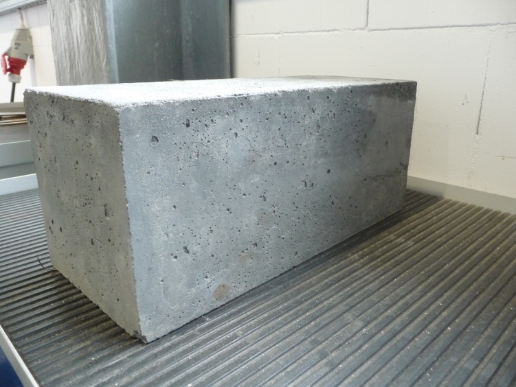
Concrete is a composite material composed of aggregate bound together with a fluid cement that cures to a solid over time. It is the second-most-used substance (after water), the mostâwidely used building material, and the most-manufactured material in the world. When aggregate is mixed with dry Portland cement and water, the mixture forms a fluid slurry that can be poured and molded into shape. The cement reacts with the water through a process called hydration, which hardens it after several hours to form a solid matrix that binds the materials together into a durable stone-like material with various uses. This time allows concrete to not only be cast in forms, but also to have a variety of tooled processes performed. The hydration process is exothermic, which means that ambient temperature plays a significant role in how long it takes concrete to set. Often, additives (such as pozzolans or superplasticizers) are included in the mixture to improve the physical prop ... [...More Info...] [...Related Items...] OR: [Wikipedia] [Google] [Baidu] |
Lighthouse
A lighthouse is a tower, building, or other type of physical structure designed to emit light from a system of lamps and lens (optics), lenses and to serve as a beacon for navigational aid for maritime pilots at sea or on inland waterways. Lighthouses mark dangerous coastlines, hazardous shoals, reefs, rocks, and safe entries to harbors; they also assist in aerial navigation. Once widely used, the number of operational lighthouses has declined due to the expense of maintenance and the advent of much cheaper, more sophisticated, and more effective electronic navigational systems. History Ancient lighthouses Before the development of clearly defined ports, mariners were guided by fires built on hilltops. Since elevating the fire would improve visibility, placing the fire on a platform became a practice that led to the development of the lighthouse. In antiquity, the lighthouse functioned more as an entrance marker to ports than as a warning signal for reefs and promontory, prom ... [...More Info...] [...Related Items...] OR: [Wikipedia] [Google] [Baidu] |
Musashi Channel
is a Japanese name, which may refer to: People *, Japanese master swordsman, painter, and author of ''The Book of Five Rings'' *, Japanese science fiction writer *, Japanese former professional footballer *, Japanese retired kickboxer *, Wushu martial artist and actor *, Japanese footballer Places * Musashi Province, an old province of Japan * Musashi Imperial Graveyard * Musashi, Åita, Japan * Musashi University * Musashi-Kosugi Station Science * Musashi-1, RNA-binding protein Musashi homolog 1 * Musashi-2, RNA-binding protein Musashi homolog 2 Transportation * List of ships named ''Musashi'' * Limited express ''Musashi'' trains on the Seibu Ikebukuro Line Entertainment * ''Musashi'' (novel), a 1935 novel by Eiji Yoshikawa * Musashi's, a Japanese feline musical group * Musashi, a 1974 manga written by Kazuo Koike and illustrated by Noboru Kawasaki * ''Brave Fencer Musashi'', a 1998 PlayStation video game * '' Musashi: Samurai Legend'', a 2005 PlayStation 2 ... [...More Info...] [...Related Items...] OR: [Wikipedia] [Google] [Baidu] |
Cliff
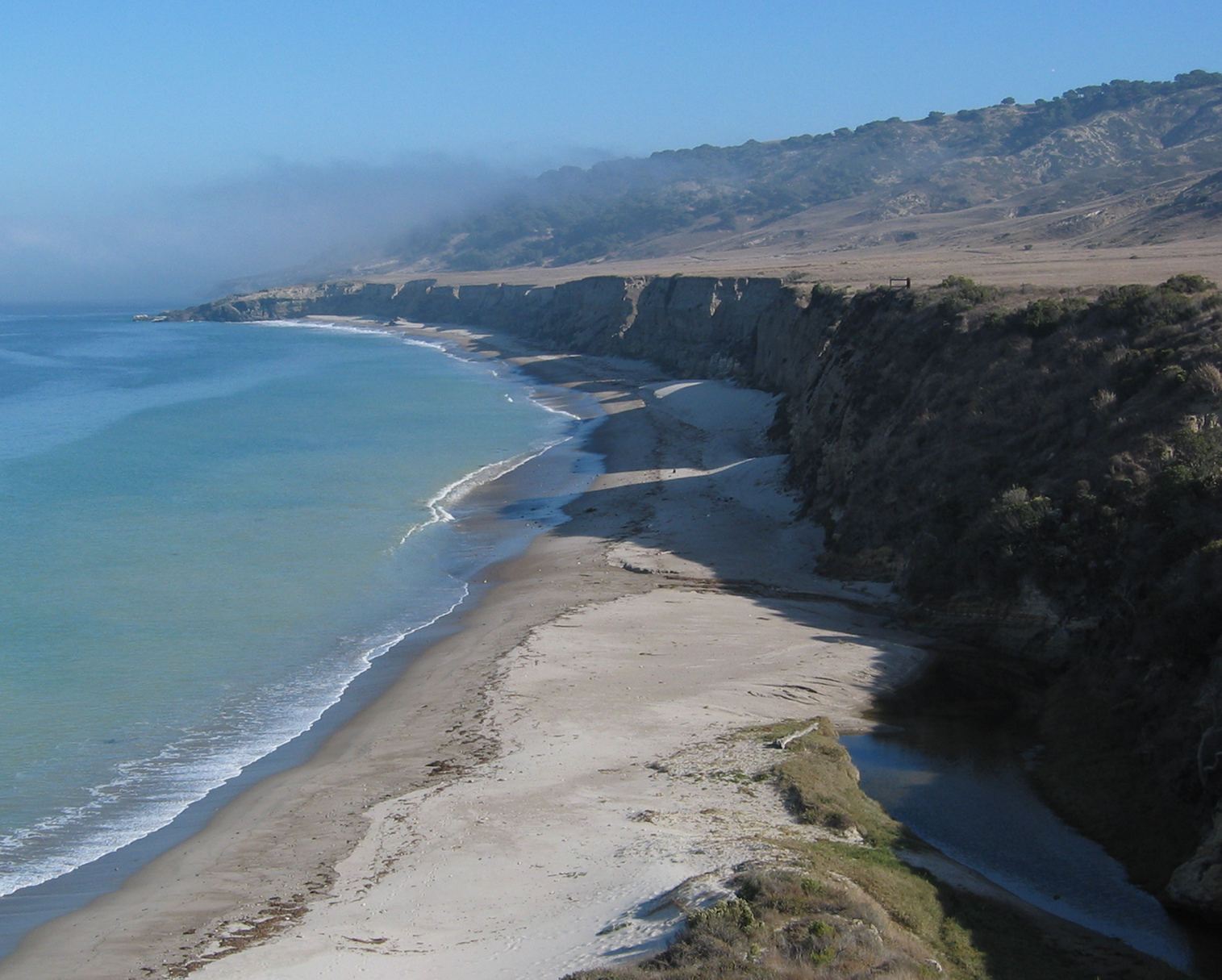
In geography and geology, a cliff or rock face is an area of Rock (geology), rock which has a general angle defined by the vertical, or nearly vertical. Cliffs are formed by the processes of weathering and erosion, with the effect of gravity. Cliffs are common on coasts, in mountainous areas, escarpments and along rivers. Cliffs are usually composed of rock that is resistant to weathering and erosion. The sedimentary rocks that are most likely to form cliffs include sandstone, limestone, chalk, and Dolomite (rock), dolomite. Igneous rocks such as granite and basalt also often form cliffs. An escarpment (or scarp) is a type of cliff formed by the movement of a geologic fault, a landslide, or sometimes by rock slides or falling rocks which change the differential erosion of the rock layers. Most cliffs have some form of scree slope at their base. In arid areas or under high cliffs, they are generally exposed jumbles of fallen rock. In areas of higher moisture, a soil slope may ... [...More Info...] [...Related Items...] OR: [Wikipedia] [Google] [Baidu] |
Marine Terrace
A raised beach, coastal terrace,Pinter, N (2010): 'Coastal Terraces, Sealevel, and Active Tectonics' (educational exercise), from [02/04/2011] or perched coastline is a relatively flat, horizontal or gently inclined surface of marine origin,Pirazzoli, PA (2005a): 'Marine Terraces', in Schwartz, ML (ed) ''Encyclopedia of Coastal Science.'' Springer, Dordrecht, pp. 632â633 mostly an old abrasion platform which has been lifted out of the sphere of wave activity (sometimes called "tread"). Thus, it lies above or under the current sea level, depending on the time of its formation.Strahler AH; Strahler AN (2005): ''Physische Geographie.'' Ulmer, Stuttgart, 686 p.Leser, H (ed)(2005): â''Wörterbuch Allgemeine Geographie.'' Westermann&Deutscher Taschenbuch Verlag, Braunschweig, 1119 p. It is bounded by a steeper ascending slope on the landward side and a steeper descending slope on the seaward side (sometimes called "riser"). Due to its generally flat shape, it is often used for Anth ... [...More Info...] [...Related Items...] OR: [Wikipedia] [Google] [Baidu] |


