|
Wirral Railway
The Wirral Railway was a railway network in the northern part of the Wirral Peninsula, England. Its route was from Birkenhead Park in the east of the Wirral to West Kirby in the west. A branch off this line at Bidston went north to Secombe and New Brighton. It was incorporated in 1863 as the Hoylake Railway, running from Hoylake to Birkenhead Docks. After changes of name and of ownership, it was purchased by the Wirral Railway Company Limited in 1884. The network was extended to West Kirby, New Brighton, and Seacombe, and to Birkenhead Park station where it joined the Mersey Railway, enabling through trains through the Mersey Railway Tunnel to Liverpool. In the 1923 grouping the Wirral company became part of the London, Midland and Scottish Railway, which electrified the line (except the Seacombe branch) in 1938, allowing passenger services to be integrated with the Liverpool urban system. Most of the Wirral Railway network is still in use today as part of the Wirral Line of t ... [...More Info...] [...Related Items...] OR: [Wikipedia] [Google] [Baidu] |
Wirral Peninsula
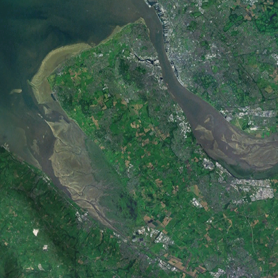
Wirral (; ), known locally as The Wirral, is a peninsula in North West England. The roughly rectangular peninsula is about long and wide and is bounded by the River Dee to the west (forming the boundary with Wales), the River Mersey to the east, and the Irish Sea to the north. Historically, the Wirral was wholly in Cheshire; in the Domesday Book, its border with the rest of the county was placed at "two arrow falls from Chester city walls". However, since the Local Government Act 1972, only the southern third has been in Cheshire, with almost all the rest lying in the Metropolitan Borough of Wirral, Merseyside. An area of saltmarsh to the south-west of the peninsula lies in the Welsh county of Flintshire. The most extensive urban development is on the eastern side of the peninsula. The Wirral contains both affluent and deprived areas, with affluent areas largely in the west, south and north of the peninsula, and deprived areas concentrated in the east, especial ... [...More Info...] [...Related Items...] OR: [Wikipedia] [Google] [Baidu] |
Wallasey
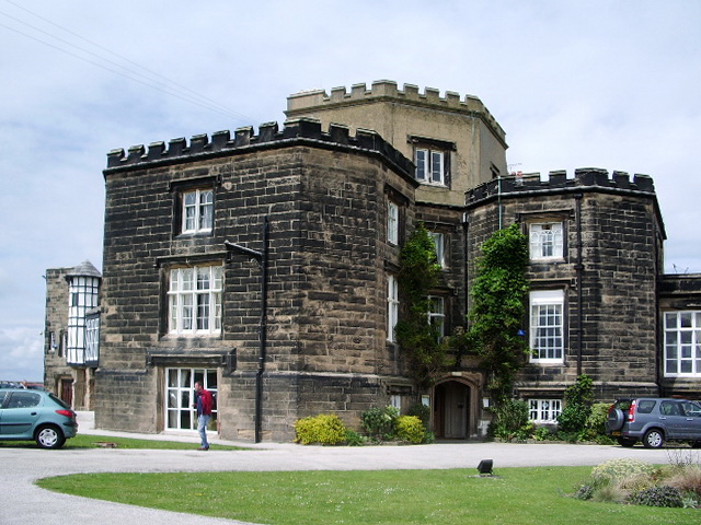
Wallasey () is a town within the Metropolitan Borough of Wirral, in Merseyside, England; until 1974, it was part of the historic county of Cheshire. It is situated at the mouth of the River Mersey, at the north-eastern corner of the Wirral Peninsula. At the 2011 Census, the population was 60,284. History Toponymy The name of Wallasey originates from the Germanic word ''Walha'', meaning a Briton, a Welshman, which is also the origin of the name Wales. The suffix “''-ey''” denotes an island or area of dry land. Originally the higher ground now occupied by Wallasey was separated from the rest of Wirral by the creek known as Wallasey Pool (which later became the docks), the marshy areas of Bidston Moss and Leasowe, and sand dunes along the coast. Early history Within the boundaries of the historic county of Cheshire, the area was sparsely populated before the 19th century. Horse races organised for the Earls of Derby on the sands at Leasowe in the 16th and 17th ... [...More Info...] [...Related Items...] OR: [Wikipedia] [Google] [Baidu] |
Hawarden Bridge
Hawarden Bridge (; cy, Pont Penarlâg) is a railway bridge over the River Dee, near Shotton, Flintshire, Wales. It was built by the Manchester, Sheffield and Lincolnshire Railway (which later became the Great Central Railway), as part of the Chester & Connah's Quay Railway. It opened on 3 August 1889. Hawarden Bridge is part of the Borderlands Line from Wrexham to Bidston. Hawarden Bridge railway station is on the north side of the bridge, while Shotton station is on the south side. National Cycle Route 5 crosses the River Dee on the path, adjacent to the railway line, which is on the bridge. Upon opening, Hawarden Bridge became the largest swing bridge anywhere in the United Kingdom. It also held the high temperature record for Wales – 35.2°C, which was recorded on 2 August 1990, until it was exceeded in Gogerddan on 17 July 2022. However, it regained its high temperature record for Wales the very next day, when a temperature of 37.1°C was recorded at nearby Hawar ... [...More Info...] [...Related Items...] OR: [Wikipedia] [Google] [Baidu] |
Upton, Merseyside
Upton is a village in the northern part of the Wirral Peninsula, England, and is situated within of Birkenhead, of the Dee Estuary, a similar distance from the River Mersey, and from Liverpool Bay. It is in the parish of Overchurch and administratively, the village is a ward of the Metropolitan Borough of Wirral in the metropolitan county of Merseyside. Upton was in the traditional county of Cheshire. At the 2011 census, the population was 16,130. Upton was originally settled as an Anglo-Saxon farming community, and remained as a farming community until the village's rapid urbanisation and expansion from the mid-19th century. This was brought about by the development of Liverpool as a major port, with rail and road links across the Mersey estuary. The village now has a strong service economy which is based primarily around healthcare and retail, with a variety of places nearby, and within the village, to pursue sport and leisure activities. History Etymology The name Upto ... [...More Info...] [...Related Items...] OR: [Wikipedia] [Google] [Baidu] |
Woodchurch, Merseyside
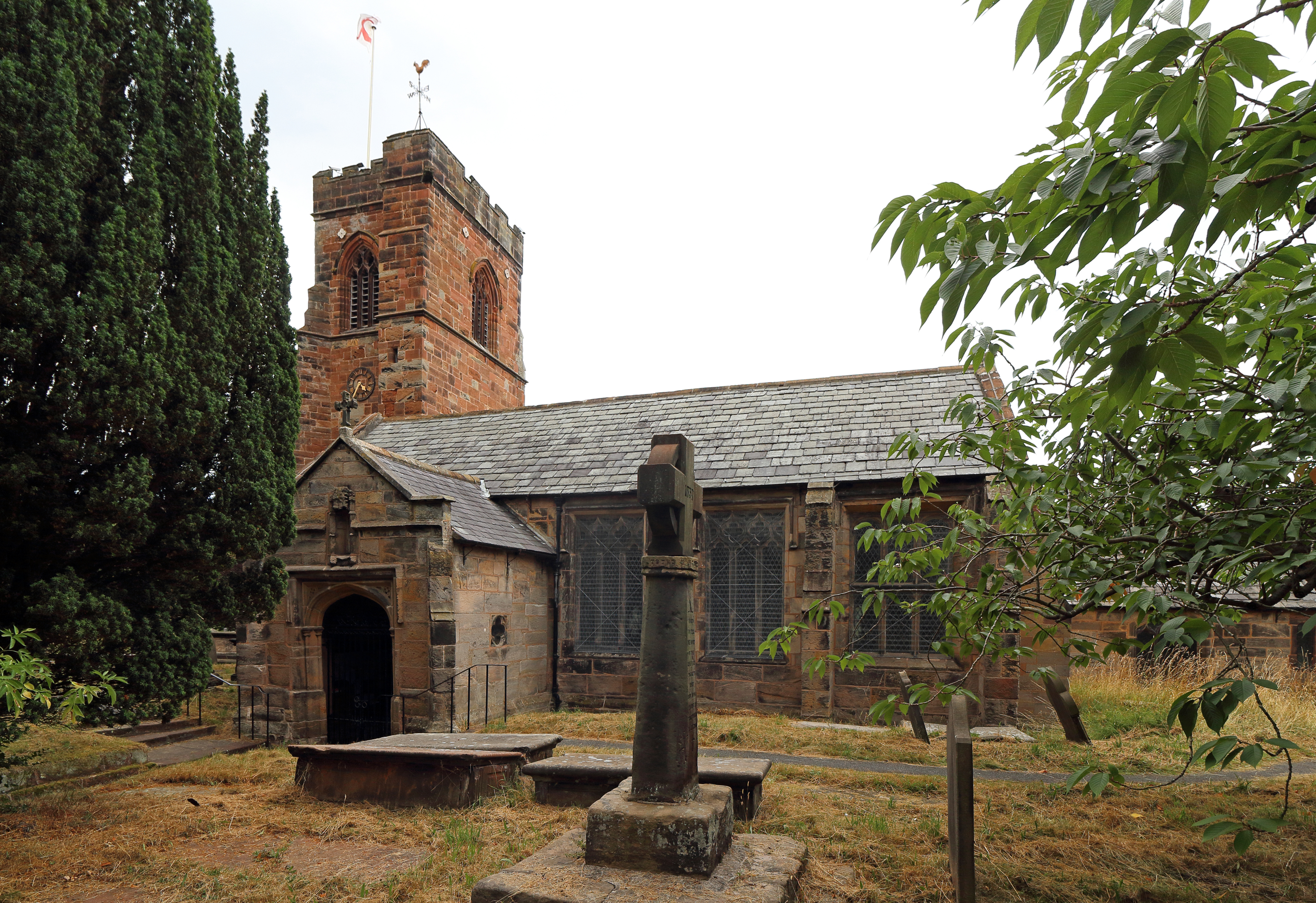
Woodchurch is an area of Birkenhead on the Wirral Peninsula, in England. Administratively, Woodchurch is within the Metropolitan Borough of Wirral, its parliamentary constituency is Wirral West, and its local council ward is Upton. At the 2001 Census, it had a population of 8,400 (3,840 males, 4,560 females). Woodchurch is dominated by a large housing development, known as the Woodchurch Estate. The district is served by several schools and has the major Arrowe Park Hospital just outside its boundary, which was built on of the park itself and opened in 1982. History Woodchurch was originally a farming area and ancient village of the Wirral Hundred, known mainly for its parish church and the neighbouring Arrowe Park country estate. The first recorded owner of the land was an Anglo-Saxon chief called Aescwulf who claimed ownership of Woodchurch, Arrowe and Landican. Although not recorded in the Domesday Book, Woodchurch was recorded as ''Wude Church'' in 1093. The populati ... [...More Info...] [...Related Items...] OR: [Wikipedia] [Google] [Baidu] |
Ceremony Of Cutting Of The First Sod Of The Wirral Railway
A ceremony (, ) is a unified ritualistic event with a purpose, usually consisting of a number of artistic components, performed on a special occasion. The word may be of Etruscan origin, via the Latin '' caerimonia''. Church and civil (secular) ceremonies According to Dally Messenger and Alain de Botton, in most Western countries the values and ideals articulated in both church and civil ceremonies are generally similar. The difference is in what Messenger calls the "supernatural infrastructure" or de Botton the "implausible supernatural element".Messenger, Dally; ''Murphy's Law and the Pursuit of Happiness: a History of the Civil Celebrant Movement'', Spectrum Publications, Melbourne (Australia), 2012 Most churches and religions claim some extra advantage conferred by the deity e.g. Roman Catholics believe that through the words of consecration in the mass ceremony, God himself becomes actually present on the altar. Both church and civil ceremonies share the powerful psych ... [...More Info...] [...Related Items...] OR: [Wikipedia] [Google] [Baidu] |
Woodside, Merseyside
Woodside is a small riverside locality in Birkenhead, on the Wirral Peninsula, England, situated almost opposite Liverpool Pier Head across the River Mersey. History The monks of Birkenhead Priory had been granted a charter establishing ferry rights to Liverpool, which was confirmed by Edward III in about 1330. These rights reverted to the Crown in 1536, upon the Dissolution of the Monasteries by Henry VIII. There followed a period of private ownership by local landowners of the numerous ferry services on the Wirral bank of the River Mersey, including at Woodside. By the 18th century, an increase in stage coach traffic from Chester spurred the growth of the transportation of passengers and goods across the river. With the rapid development of Birkenhead from the 1820s, facilities at Woodside would eventually need expanding. By 1842, the ferry service had been taken over by the Birkenhead Commissioners. A stone pier with two slipways and a small lighthouse at the pie ... [...More Info...] [...Related Items...] OR: [Wikipedia] [Google] [Baidu] |
Leasowe
Leasowe () is a village in the Metropolitan Borough of Wirral in Merseyside, England. Historically within Cheshire (ceased to be in 1974), Leasowe was part of the old County Borough of Wallasey. It is now within the Leasowe and Moreton East Ward of the Metropolitan Borough of Wirral, as well as the Wallasey parliamentary constituency. At the 2001 census, Leasowe had a population of 6,180. By the time of the 2011 census specific figures for Leasowe were no longer maintained. The total population of the Leasowe and Moreton East Ward was 14,640. History The name 'Leasowe' comes from the Anglo-Saxon ''Leasowes'' or 'Meadow Pastures'. Its sand dunes are the largest such system on the Wirral. Much of the area is at or below sea level and is protected by the coastal embankment. Houses built in the early 20th century were often flooded and unsanitary, but after about 1926, new roads and drainage were put in by the Borough Council, and much new housing was developed. Along the emban ... [...More Info...] [...Related Items...] OR: [Wikipedia] [Google] [Baidu] |
Chester
Chester is a cathedral city and the county town of Cheshire, England. It is located on the River Dee, close to the English–Welsh border. With a population of 79,645 in 2011,"2011 Census results: People and Population Profile: Chester Locality"; downloaded froCheshire West and Chester: Population Profiles, 17 May 2019 it is the most populous settlement of Cheshire West and Chester (a unitary authority which had a population of 329,608 in 2011) and serves as its administrative headquarters. It is also the historic county town of Cheshire and the second-largest settlement in Cheshire after Warrington. Chester was founded in 79 AD as a " castrum" or Roman fort with the name Deva Victrix during the reign of Emperor Vespasian. One of the main army camps in Roman Britain, Deva later became a major civilian settlement. In 689, King Æthelred of Mercia founded the Minster Church of West Mercia, which later became Chester's first cathedral, and the Angles extended and stren ... [...More Info...] [...Related Items...] OR: [Wikipedia] [Google] [Baidu] |
Court Of Chancery
The Court of Chancery was a court of equity in England and Wales that followed a set of loose rules to avoid a slow pace of change and possible harshness (or "inequity") of the common law. The Chancery had jurisdiction over all matters of equity, including trusts, land law, the estates of lunatics and the guardianship of infants. Its initial role was somewhat different: as an extension of the lord chancellor's role as Keeper of the King's Conscience, the court was an administrative body primarily concerned with conscientious law. Thus the Court of Chancery had a far greater remit than the common law courts, whose decisions it had the jurisdiction to overrule for much of its existence, and was far more flexible. Until the 19th century, the Court of Chancery could apply a far wider range of remedies than common law courts, such as specific performance and injunctions, and had some power to grant damages in special circumstances. With the shift of the Exchequer of Pleas toward ... [...More Info...] [...Related Items...] OR: [Wikipedia] [Google] [Baidu] |
Board Of Trade (Privy Council)
The Board of Trade is a British government body concerned with commerce and industry, currently within the Department for International Trade. Its full title is The Lords of the Committee of the Privy Council appointed for the consideration of all matters relating to Trade and Foreign Plantations, but is commonly known as the Board of Trade, and formerly known as the Lords of Trade and Plantations or Lords of Trade, and it has been a committee of the Privy Council of the United Kingdom. The board has gone through several evolutions, beginning with extensive involvement in colonial matters in the 17th century, to powerful regulatory functions in the Victorian Era and early 20th century. It was virtually dormant in the last third of 20th century. In 2017, it was revitalised as an advisory board headed by the International Trade Secretary who has nominally held the title of President of the Board of Trade, and who at present is the only privy counsellor of the board, the other memb ... [...More Info...] [...Related Items...] OR: [Wikipedia] [Google] [Baidu] |
Mostyn
Mostyn is a village and community in Flintshire, Wales, and electoral ward lying on the estuary of the River Dee, located near the town of Holywell. It has a privately owned port that has in the past had a colliery and ironworks and was involved in the export of commodities, and in present times services the offshore wind industry and ships the wings for the Airbus A380 which are manufactured at Broughton. History Mostyn was mentioned in the Doomsday Book of 1086. Henry Bolingbroke (later Henry IV) landed here in 1399 before attacking Richard II at Flint Castle. Coal was mined at Mostyn Colliery and iron production started in the mid nineteenth century. The combination of a colliery, iron works and the docks made this a profitable enterprise. Nineteen hundred people were employed at one time. The coal eventually became exhausted and the ironworks closed in 1965. Between 1848 and 1966 there was a railway station in the village on the Chester to Holyhead line. Mostyn once ... [...More Info...] [...Related Items...] OR: [Wikipedia] [Google] [Baidu] |


