|
Whiteladies Road
Whiteladies Road is a main road in Bristol, England. It runs north from the Victoria Rooms to Durdham Down, and separates Clifton on the west side from Redland and Cotham on the east. It forms part of the A4018. Significant buildings on Whiteladies Road include (from south to north): * Broadcasting House, offices and studios of the British Broadcasting Corporation; * the Whiteladies Picture House; * Clifton Down railway station; *Tyndale Baptist Church. Historically, the top half as far as Cotham Hill was the main easterly route into Bristol and the through route towards London and Bath from New Passage where there was a ferry from Wales. Later it was also the route into Bristol and onwards from the Port at Avonmouth. The road was extended in the early 1800s with the building of the second half of the street, and the route continued down Park Street. The main route from Avonmouth was superseded by the building of The Portway in the 1920s. Most of the traffic from Wales ... [...More Info...] [...Related Items...] OR: [Wikipedia] [Google] [Baidu] |
Tyndale Baptist Church
Tyndale Baptist Church is a Baptist church in Whiteladies Road, Redland, in Bristol, England. The church was founded in 1869, following an initiative by Broadmead Baptist Church to establish a church to serve the growing population of Redland. Funds to build the new church were raised by a committee chaired by E. S. Robinson, founder of the paper and packaging business E. S. & A. Robinson, and mayor of Bristol in 1866. The first minister was the Revd Richard Glover (1837–1919), President of the Baptist Union in 1884 and active in promoting the work of the Baptist Missionary Society. Glover served the church until 1911. Several members of the church were prominent in Bristol public life. The first Lord Mayor of Bristol in 1899, Sir Herbert Ashman, was baptized by Glover. Edward Robinson, a son of E. S. Robinson, was Lord Mayor in 1908. Charles Townsend, M.P. for Bristol North from 1892 to 1895, was church secretary for more than 20 years. Staine ... [...More Info...] [...Related Items...] OR: [Wikipedia] [Google] [Baidu] |
Streets In Bristol
Streets is the plural of street, a type of road. Streets or The Streets may also refer to: Music * Streets (band), a rock band fronted by Kansas vocalist Steve Walsh * ''Streets'' (punk album), a 1977 compilation album of various early UK punk bands * '' Streets...'', a 1975 album by Ralph McTell * '' Streets: A Rock Opera'', a 1991 album by Savatage * "Streets" (song) by Doja Cat, from the album ''Hot Pink'' (2019) * "Streets", a song by Avenged Sevenfold from the album ''Sounding the Seventh Trumpet'' (2001) * The Streets, alias of Mike Skinner, a British rapper * "The Streets" (song) by WC featuring Snoop Dogg and Nate Dogg, from the album ''Ghetto Heisman'' (2002) Other uses * ''Streets'' (film), a 1990 American horror film * Streets (ice cream), an Australian ice cream brand owned by Unilever * Streets (solitaire), a variant of the solitaire game Napoleon at St Helena * Tai Streets Tai Lamar Streets (born April 20, 1977) is a former professional American football wid ... [...More Info...] [...Related Items...] OR: [Wikipedia] [Google] [Baidu] |
Turnpike Trust
Turnpike trusts were bodies set up by individual acts of Parliament, with powers to collect road tolls for maintaining the principal roads in Britain from the 17th but especially during the 18th and 19th centuries. At the peak, in the 1830s, over 1,000 trusts administered around of turnpike road in England and Wales, taking tolls at almost 8,000 toll-gates and side-bars. During the early 19th century the concept of the turnpike trust was adopted and adapted to manage roads within the British Empire (Ireland, Canada, Australia, New Zealand, India, and South Africa) and in the United States. Turnpikes declined with the coming of the railways and then the Local Government Act 1888 gave responsibility for maintaining main roads to county councils and county borough councils. Etymology The term "turnpike" originates from the similarity of the gate used to control access to the road, to the barriers once used to defend against attack by cavalry (see Cheval de frise). The tur ... [...More Info...] [...Related Items...] OR: [Wikipedia] [Google] [Baidu] |
Charles II Of England
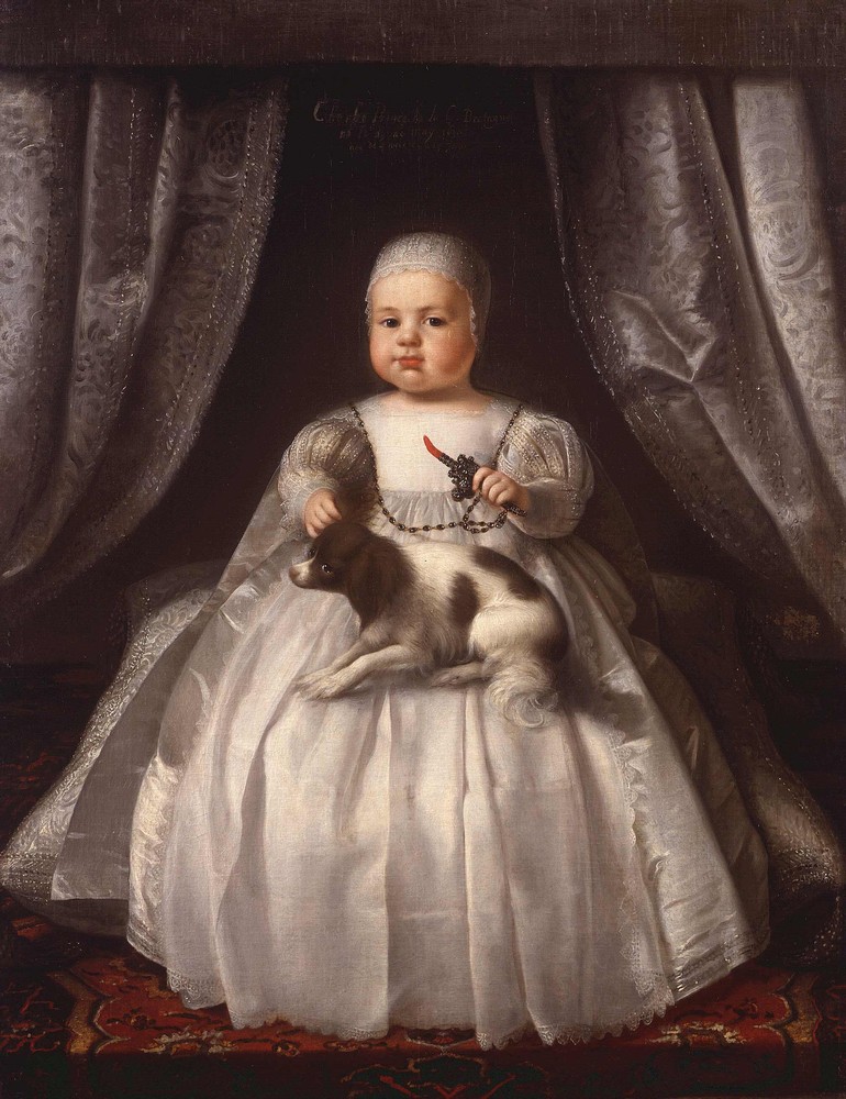
Charles II (29 May 1630 – 6 February 1685) was King of Scotland from 1649 until 1651, and King of England, Scotland and Ireland from the 1660 Restoration of the monarchy until his death in 1685. Charles II was the eldest surviving child of Charles I of England, Scotland and Ireland and Henrietta Maria of France. After Charles I's execution at Whitehall on 30 January 1649, at the climax of the English Civil War, the Parliament of Scotland proclaimed Charles II king on 5 February 1649. But England entered the period known as the English Interregnum or the English Commonwealth, and the country was a de facto republic led by Oliver Cromwell. Cromwell defeated Charles II at the Battle of Worcester on 3 September 1651, and Charles fled to mainland Europe. Cromwell became virtual dictator of England, Scotland and Ireland. Charles spent the next nine years in exile in France, the Dutch Republic and the Spanish Netherlands. The political crisis that followed Cromwell's death i ... [...More Info...] [...Related Items...] OR: [Wikipedia] [Google] [Baidu] |
Restoration (England)
The Restoration of the Stuart monarchy in the kingdoms of England, Scotland and Ireland took place in 1660 when King Charles II returned from exile in continental Europe. The preceding period of the Protectorate and the civil wars came to be known as the Interregnum (1649–1660). The term ''Restoration'' is also used to describe the period of several years after, in which a new political settlement was established. It is very often used to cover the whole reign of King Charles II (1660–1685) and often the brief reign of his younger brother King James II (1685–1688). In certain contexts it may be used to cover the whole period of the later Stuart monarchs as far as the death of Queen Anne and the accession of the Hanoverian King George I in 1714. For example, Restoration comedy typically encompasses works written as late as 1710. The Protectorate After Richard Cromwell, Lord Protector from 1658 to 1659, ceded power to the Rump Parliament, Charles Fleetwood an ... [...More Info...] [...Related Items...] OR: [Wikipedia] [Google] [Baidu] |
Portway, Bristol
The Portway is a major road in the City of Bristol. It is part of the A4 and connects Bristol City Centre to the Avonmouth Docks and the M5 motorway via the Avon Gorge. The road was constructed following World War I in order to provide improved access to the ports at Avonmouth Docks, which had replaced Bristol Harbour as the major local centre for commercial shipping. Upon opening on 2 July 1926, it was the single most expensive road project in Britain, costing £800,000 (now about £ million). The construction posed a number of significant engineering challenges, including long and deep rock cuttings, a viaduct over the River Trym, and retaining walls against the gorge adjacent to the River Avon. Falling rocks have since been a problem along the Portway, particularly at the southern end close to the Clifton Suspension Bridge, with concrete canopies constructed to prevent loose rock and assist with remedial work. The Portway remains an important route to and from Bristol, and ... [...More Info...] [...Related Items...] OR: [Wikipedia] [Google] [Baidu] |
Park Street, Bristol
Park Street is a major shopping street in Bristol, England, linking the city centre to Clifton. It forms part of the A4018. The building of Park Street started in 1761 and it was Bristol's earliest example of uniformly stepped hillside terracing. The street runs from College Green up a steep incline northwards to join Park Row near the southern apex of the Clifton Triangle. Looking up the street there is a dramatic view of the Wills Memorial Building. History The development of Park Street began in 1740 when the City Council leased land to Nathaniel Day, holder of Bullock's Park, to open a new street. Around that time, some houses were built on the north-east side of College Green, probably by James Paty the Elder. Around 1742 he was probably also involved in the development of adjacent Unity Street, where the use of stone facing and the rustication of the ground floor facades set a precedent for most of the later development in the Park Street area. In 1758 a design by G ... [...More Info...] [...Related Items...] OR: [Wikipedia] [Google] [Baidu] |
Avonmouth
Avonmouth is a port and outer suburb of Bristol, England, facing two rivers: the reinforced north bank of the final stage of the Avon which rises at sources in Wiltshire, Gloucestershire and Somerset; and the eastern shore of the Severn Estuary. Strategically the area has been and remains an important part of the region's maritime economy particularly for larger vessels for the unloading and exporting of heavier goods as well as in industry including warehousing, light industry, electrical power and sanitation. The area contains a junction of and is connected to the south by the M5 motorway and other roads, railway tracks and paths to the north, south-east and east. The council ward of Avonmouth and Lawrence Weston is as drawn a simplified name as it includes Shirehampton and the western end of Lawrence Weston. Geography Avonmouth is approximately rectangular, its length favouring the Severn shore and sits on the same bank as the city centre from which it lies west-no ... [...More Info...] [...Related Items...] OR: [Wikipedia] [Google] [Baidu] |
New Passage
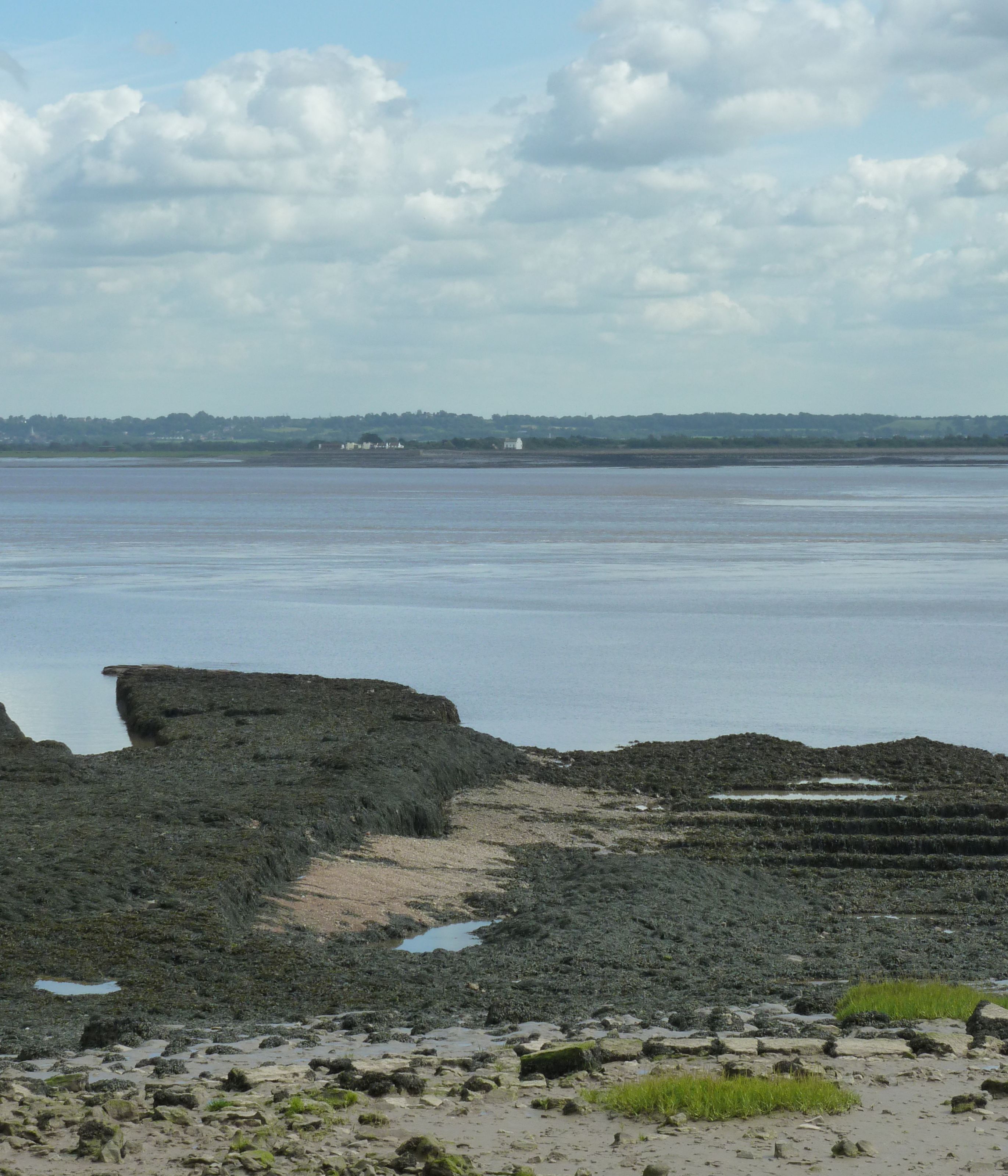
New Passage is a hamlet in South Gloucestershire, England, on the banks of the Severn estuary near the village of Pilning. It takes its name from the ferry service which operated between there and South Wales until 1886. Ferry History New Passage was for many years the location of a ferry crossing to and from South Wales, running from Chestle Pill near Pilning to Black Rock at Portskewett in Monmouthshire. The route provided an alternative to the centuries-old Aust ferry two miles (3 km) upstream, known as the "Old Passage". The New Passage, which offered a more direct route to South Wales, was probably in operation from 1630, when the New Passage Ferry Company was formed.Northwick Bristol and Avon Family History Society, accessed 27-03-18 The ferry was said to have been discontinued between 1645 and 1 ... [...More Info...] [...Related Items...] OR: [Wikipedia] [Google] [Baidu] |
Clifton Down Railway Station
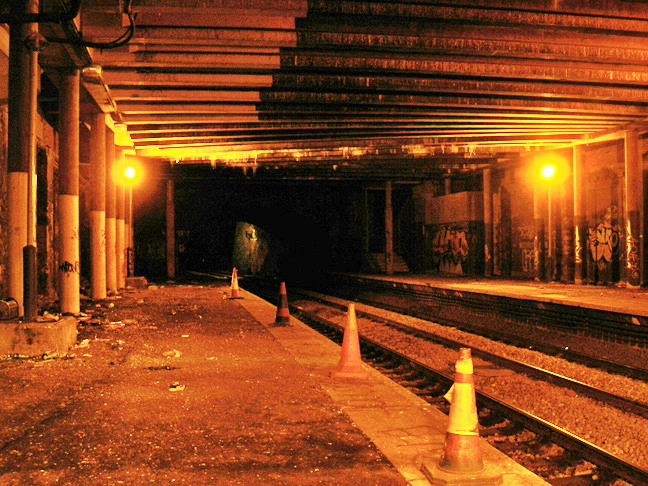
Clifton Down railway station is on the Severn Beach line and serves the district of Clifton in Bristol, England. It is from . Its three letter station code is CFN. The station has two platforms, each serving trains in one direction only. it is managed by Great Western Railway, which is the third franchise to be responsible for the station since privatisation in 1997. They provide all train services at the station, mainly a train every 30 minutes in each direction. The station was opened in 1874 by the Great Western and Midland Railways as part of the Clifton Extension Railway, designed to connect the port of Avonmouth to the national rail network. The station had a large gothic revival building on the Bristol-bound platform, with smaller passenger facilities on the opposite platform and a goods yard beyond. Between 1903 and 1930 the station employed an average of 22 staff. Excursion trains were a regular sight, bringing people to nearby Bristol Zoo. The Severn Beach Line ... [...More Info...] [...Related Items...] OR: [Wikipedia] [Google] [Baidu] |


