|
Varanger Peninsula
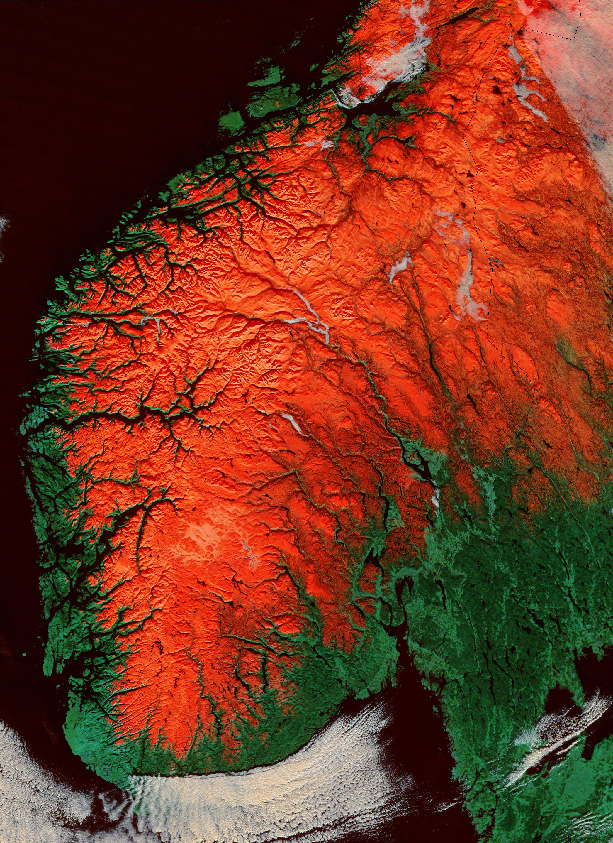
The Varanger Peninsula (; ; ) is a peninsula in Finnmark county, Norway. It is located in the northeasternmost part of Norway, along the Barents Sea. The peninsula has the Tanafjorden to the west, the Varangerfjorden to the south, and the Barents Sea to the north and east. The municipalities of Vadsø, Båtsfjord, Berlevåg, Vardø, Tana, and Nesseby share the peninsula. Nesseby and Tana are only partially on the peninsula, with the rest being entirely on the peninsula. The Varangerhalvøya National Park protects most of the land on the peninsula. Geography The area has rugged mountain terrain with altitudes of up to . Much of the relief of the peninsula is a paleic surface similar to the one found in the highlands of southern Norway. In the peninsula the paleic surface is made up of an undulating plateau between the altitudes of 200 and 600 m.a.s.l. The higher parts of the undulating plateau are made up by erosion-resistant rocks like quartzite. The lower parts are mad ... [...More Info...] [...Related Items...] OR: [Wikipedia] [Google] [Baidu] |
Peninsula
A peninsula is a landform that extends from a mainland and is only connected to land on one side. Peninsulas exist on each continent. The largest peninsula in the world is the Arabian Peninsula. Etymology The word ''peninsula'' derives , . The word entered English in the 16th century. Definitions A peninsula is generally defined as a piece of land surrounded on most sides by water. A peninsula may be bordered by more than one body of water, and the body of water does not have to be an ocean or a sea. A piece of land on a very tight river bend or one between two rivers is sometimes said to form a peninsula, for example in the New Barbadoes Neck in New Jersey, United States. A peninsula may be connected to the mainland via an isthmus, for example, in the Isthmus of Corinth which connects to the Peloponnese peninsula. Formation and types Peninsulas can be formed from continental drift, glacial erosion, meltwater, glacial meltwater, glacial deposition (geology), deposition, ... [...More Info...] [...Related Items...] OR: [Wikipedia] [Google] [Baidu] |
Paleic Surface
The paleic surface or palaeic surface (, ) is an erosion surface of gentle slopes that exist in South Norway. Parts of it are a continuation of the Sub-Cambrian peneplain and Muddus Plains found further east or equivalent to the strandflat coastal plains of Norway. Hardangervidda, a particularly flat and elevated part of the Paleic surface formed in the Miocene at sea level. Although the tilted plateau-like topography of south Norway had been noted since the early 1800s, the first formal description was by Hans Reusch in 1901, using a denudation chronology approach invoking several of W.M. Davis’ ideas of a cycle of erosion. Reusch also coined the name ''Paleic surface''. The Paleic surface is sometimes erroneously considered equal to Norway's "pre-glacial surface" – the surface that existed in Norway just before the Quaternary glaciations. South Norway: the type area There have been various attempts at defining the subset of surfaces that compose the paleic surface ... [...More Info...] [...Related Items...] OR: [Wikipedia] [Google] [Baidu] |
Solifluction Lobe
Solifluction is a collective name for gradual processes in which a mass moves down a slope ("mass wasting") related to freeze-thaw activity. This is the standard modern meaning of solifluction, which differs from the original meaning given to it by Johan Gunnar Andersson in 1906. Origin and evolution of the concept In the original sense it meant the movement of waste saturated in water found in periglacial regions. However it was later discovered that various slow waste movements in periglacial regions did not require saturation in water, but were rather associated to freeze-thaw processes. The term solifluction was appropriated to refer to these slow processes, and therefore excludes rapid periglacial movements. In slow periglacial solifluction there are not clear gliding planes, and therefore skinflows and active layer detachments are not included in the concept. On the other hand, movement of waste saturated in water can occur in any humid climate, and therefore this kind of ... [...More Info...] [...Related Items...] OR: [Wikipedia] [Google] [Baidu] |
Block Field
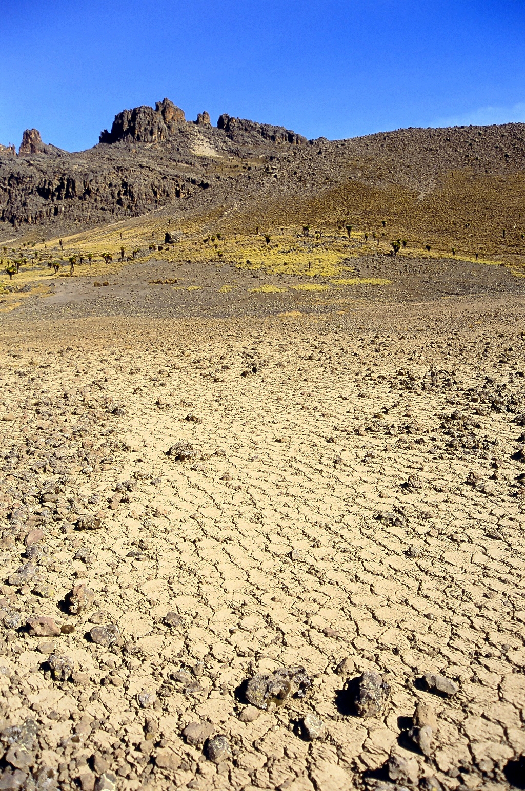
A blockfieldWhittow, John (1984). ''Dictionary of Physical Geography''. London: Penguin, 1984, pp. 66 and 190. . (also spelt block fieldLeser, Hartmut, ed. (2005). ''Wörterbuch Allgemeine Geographie'', 13th ed., dtv, Munich, pp. 107 and 221. . ), felsenmeer, boulder field or stone field is a surface covered by boulder- or block-sized rocks usually associated with a history of volcanic activity, alpine and subpolar climates and periglaciation. Blockfields differ from screes and talus slope in that blockfields do not apparently originate from mass wastings. They are believed to be formed by frost weathering below the surface. An alternative theory that modern blockfields may have originated from chemical weathering that occurred in the Neogene when the climate was relatively warmer. Following this thought the blockfields would then have been reworked by periglacial action. Most known blockfields are located in the northern hemisphere. Examples can be found in Abisko National P ... [...More Info...] [...Related Items...] OR: [Wikipedia] [Google] [Baidu] |
Periglaciation
Periglaciation (adjective: "periglacial", referring to places at the edges of glacial areas) describes geomorphic processes that result from seasonal thawing and freezing, very often in areas of permafrost. The meltwater may refreeze in ice wedges and other structures. "Periglacial" originally suggested an environment located on the margin of past glaciers. However, freeze and thaw cycles influence landscapes also outside areas of past glaciation. Therefore, periglacial environments are anywhere when freezing and thawing modify the landscape in a significant manner. History Periglaciation became a distinct subject within the study of geology after Walery Łoziński, a Polish geologist, introduced the term in 1909. Łoziński drew upon the early work of Johan Gunnar Andersson. According to Alfred Jahn, his introduction of his work at the 1910 International Geological Congress held in Stockholm caused significant discussion. In the field trip to Svalbard that followed the congres ... [...More Info...] [...Related Items...] OR: [Wikipedia] [Google] [Baidu] |
Quaternary
The Quaternary ( ) is the current and most recent of the three periods of the Cenozoic Era in the geologic time scale of the International Commission on Stratigraphy (ICS), as well as the current and most recent of the twelve periods of the Phanerozoic eon. It follows the Neogene Period and spans from 2.58 million years ago to the present. The Quaternary Period is divided into two epochs: the Pleistocene (2.58 million years ago to 11.7 thousand years ago) and the Holocene (11.7 thousand years ago to today); a proposed third epoch, the Anthropocene, was rejected in 2024 by IUGS, the governing body of the ICS. The Quaternary is typically defined by the Quaternary glaciation, the cyclic growth and decay of continental ice sheets related to the Milankovitch cycles and the associated climate and environmental changes that they caused. Research history In 1759 Giovanni Arduino proposed that the geological strata of northern Italy could be divided into four succ ... [...More Info...] [...Related Items...] OR: [Wikipedia] [Google] [Baidu] |
Norwegian Journal Of Geology
Norwegian, Norwayan, or Norsk may refer to: *Something of, from, or related to Norway, a country in northwestern Europe *Norwegians, both a nation and an ethnic group native to Norway *Demographics of Norway *Norwegian language, including the two official written forms: **Bokmål, literally "book language", used by 85–90% of the population of Norway **Nynorsk, literally "New Norwegian", used by 10–15% of the population of Norway *Norwegian Sea Norwegian or may also refer to: Norwegian *Norwegian Air Shuttle, an airline, trading as Norwegian **Norwegian Long Haul, a defunct subsidiary of Norwegian Air Shuttle, flying long-haul flights * Norwegian Air Lines, a former airline, merged with Scandinavian Airlines in 1951 *Norwegian coupling, used for narrow-gauge railways *Norwegian Cruise Line, a cruise line *Norwegian Elkhound, a canine breed. * Norwegian Forest cat, a domestic feline breed *Norwegian Red, a breed of dairy cattle *Norwegian Township, Pennsylvania, USA Norsk ... [...More Info...] [...Related Items...] OR: [Wikipedia] [Google] [Baidu] |
Pliocene
The Pliocene ( ; also Pleiocene) is the epoch (geology), epoch in the geologic time scale that extends from 5.33 to 2.58See the 2014 version of the ICS geologic time scale million years ago (Ma). It is the second and most recent epoch of the Neogene Period in the Cenozoic, Cenozoic Era. The Pliocene follows the Miocene Epoch and is followed by the Pleistocene Epoch. Prior to the 2009 revision of the geologic time scale, which placed the four most recent major glaciations entirely within the Pleistocene, the Pliocene also included the Gelasian Stage, which lasted from 2.59 to 1.81 Ma, and is now included in the Pleistocene. As with other older geologic periods, the Stratum, geological strata that define the start and end are well-identified but the exact dates of the start a ... [...More Info...] [...Related Items...] OR: [Wikipedia] [Google] [Baidu] |
Neoproterozoic
The Neoproterozoic Era is the last of the three geologic eras of the Proterozoic geologic eon, eon, spanning from 1 billion to 538.8 million years ago, and is the last era of the Precambrian "supereon". It is preceded by the Mesoproterozoic era and succeeded by the Paleozoic era of the Phanerozoic eon, and is further subdivided into three geologic period, periods, the Tonian, Cryogenian and Ediacaran. One of the most severe glaciation events known in the geologic record occurred during the Cryogenian period of the Neoproterozoic, when global ice sheets may have reached the equator and created a "Snowball Earth" lasting about 100 million years. The earliest fossils of complex life are found in the Tonian period in the form of ''Otavia'', a primitive sponge, and the earliest fossil evidence of metazoan evolutionary radiation, radiation are found in the Ediacaran period, which included the namesaked Ediacaran biota as well as the oldest definitive cnidarians and bilaterians in th ... [...More Info...] [...Related Items...] OR: [Wikipedia] [Google] [Baidu] |
Unconformity
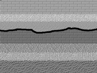
An unconformity is a buried erosional or non-depositional surface separating two rock masses or strata of different ages, indicating that sediment deposition was not continuous. In general, the older layer was exposed to erosion for an interval of time before deposition of the younger layer, but the term is used to describe any break in the sedimentary geologic record. The significance of angular unconformity (see below) was shown by James Hutton, who found examples of Hutton's Unconformity at Jedburgh in 1787 and at Siccar Point in Berwickshire in 1788, both in Scotland. The rocks above an unconformity are younger than the rocks beneath (unless the sequence has been overturned). An unconformity represents time during which no sediments were preserved in a region or were subsequently eroded before the next deposition. The local record for that time interval is missing and geologists must use other clues to discover that part of the geologic history of that area. The interval ... [...More Info...] [...Related Items...] OR: [Wikipedia] [Google] [Baidu] |
Sandstone
Sandstone is a Clastic rock#Sedimentary clastic rocks, clastic sedimentary rock composed mainly of grain size, sand-sized (0.0625 to 2 mm) silicate mineral, silicate grains, Cementation (geology), cemented together by another mineral. Sandstones comprise about 20–25% of all sedimentary rocks. Most sandstone is composed of quartz or feldspar, because they are the most resistant minerals to the weathering processes at the Earth's surface. Like uncemented sand, sandstone may be imparted any color by impurities within the minerals, but the most common colors are tan, brown, yellow, red, grey, pink, white, and black. Because sandstone beds can form highly visible cliffs and other topography, topographic features, certain colors of sandstone have become strongly identified with certain regions, such as the red rock deserts of Arches National Park and other areas of the Southwestern United States, American Southwest. Rock formations composed of sandstone usually allow the p ... [...More Info...] [...Related Items...] OR: [Wikipedia] [Google] [Baidu] |
Mudstone
Mudstone, a type of mudrock, is a fine-grained sedimentary rock whose original constituents were clays or muds. Mudstone is distinguished from ''shale'' by its lack of fissility.Blatt, H., and R.J. Tracy, 1996, ''Petrology.'' New York, New York, W. H. Freeman, 2nd ed, 529 pp. The term ''mudstone'' is also used to describe carbonate rocks (limestone or dolomite) that are composed predominantly of carbonate mud. However, in most contexts, the term refers to siliciclastic mudstone, composed mostly of silicate minerals. The NASA Curiosity rover has found deposits of mudstone on Mars that contain organic substances such as propane, benzene and toluene. Definition There is not a single definition of mudstone that has gained general acceptance,Boggs 2006, p.143 though there is wide agreement that mudstones are fine-grained sedimentary rocks, composed mostly of silicate grains with a grain size less than . Individual grains this size are too small to be distinguished without a micros ... [...More Info...] [...Related Items...] OR: [Wikipedia] [Google] [Baidu] |


