|
Trans-Siberian Highway
The Trans-Siberian Highway is the unofficial name for a network of federal highways that span the width of Russia from the Baltic Sea of the Atlantic Ocean to the Sea of Japan. In the Asian Highway Network, the route is known as AH6. It stretches over from St. Petersburg to Vladivostok. The road disputes the title of the longest national highway in the world with Australia's Highway 1. The highway became fully paved on 12 August 2015. Route The route coincides in places with European route E30 over a distance of about . One of its segments (Chelyabinsk-Novosibirsk) can be passed by the R402 highway via Ishim inside the Russian territory or by the R254 highway through the neighboring country of Kazakhstan. The route consists of seven federal highways: * M10 Russia Highway: St. Petersburg-Moscow, * M5 Ural Highway: Moscow-Chelyabinsk, * Baikal Highway: ** R254: Chelyabinsk-Novosibirsk, or with R402 bypass highway inside the Russian territory. ** R255: Novosibirsk-I ... [...More Info...] [...Related Items...] OR: [Wikipedia] [Google] [Baidu] |
Kazakhstan
Kazakhstan, officially the Republic of Kazakhstan, is a transcontinental country located mainly in Central Asia and partly in Eastern Europe. It borders Russia to the north and west, China to the east, Kyrgyzstan to the southeast, Uzbekistan to the south, and Turkmenistan to the southwest, with a coastline along the Caspian Sea. Its capital is Astana, known as Nur-Sultan from 2019 to 2022. Almaty, Kazakhstan's largest city, was the country's capital until 1997. Kazakhstan is the world's largest landlocked country, the largest and northernmost Muslim-majority country by land area, and the ninth-largest country in the world. It has a population of 19 million people, and one of the lowest population densities in the world, at fewer than 6 people per square kilometre (15 people per square mile). The country dominates Central Asia economically and politically, generating 60 percent of the region's GDP, primarily through its oil and gas industry; it also has vast minera ... [...More Info...] [...Related Items...] OR: [Wikipedia] [Google] [Baidu] |
Magadan
Magadan ( rus, Магадан, p=məɡɐˈdan) is a port town and the administrative center of Magadan Oblast, Russia, located on the Sea of Okhotsk in Nagayev Bay (within Taui Bay) and serving as a gateway to the Kolyma region. History Magadan was founded in 1930 in the Ola (river) valley,Vazhenin, p. 4 near the settlement of Nagayevo. During the Stalin era, Magadan was a major transit center for political prisoners sent to forced labour camps. From 1932 to 1953, it was the administrative centre of the Dalstroy organisation—a vast forced-labour gold-mining operation and forced-labour camp system. The first director of Dalstroy was Eduard Berzin, who between 1932 and 1937 established the infrastructure of the forced labour camps in Magadan. Berzin was executed in 1938 by Stalin, towards the end of the Great Purge. The town later served as a port for exporting gold and other metals mined in the Kolyma region. Its size and population grew quickly as facilities w ... [...More Info...] [...Related Items...] OR: [Wikipedia] [Google] [Baidu] |
R504 Kolyma Highway
The R504 Kolyma Highway (russian: Федеральная автомобильная дорога «Колыма», ''Federal'naya Avtomobil'naya Doroga «Kolyma»,'' "Federal Automobile Highway 'Kolyma'"), part of the M56 route, is a road through the Russian Far East. It connects Magadan with the town of Nizhny Bestyakh, located on the eastern bank of Lena River, opposite of Yakutsk. At Nizhny Bestyakh the Kolyma Highway connects to the Lena Highway. The Kolyma Highway is colloquially known as the Road of Bones (Russian language, Russian: Дорога Костей, transliteration: ''Doróga Kostyéy''), in reference to the hundreds of thousands of forced laborers who were interred in the pavement after dying during its construction. Locally, the road is known as the Kolyma Route (Russian language, Russian: Колымская трасса, transliteration: ''Kolýmskaya trássa''). History The Dalstroy construction directorate built the Kolyma Highway during the Soviet Uni ... [...More Info...] [...Related Items...] OR: [Wikipedia] [Google] [Baidu] |
Yakutsk
Yakutsk (russian: Якутск, p=jɪˈkutsk; sah, Дьокуускай, translit=Djokuuskay, ) is the capital city of the Sakha Republic, Russia, located about south of the Arctic Circle. Fueled by the mining industry, Yakutsk has become one of Russia's most rapidly growing regional cities, with a population of 355,443 at the 2021 Census. Yakutsk — where the average annual temperature is , winter high temperatures are consistently well below , and the record low is ,Погода в Якутске. Температура воздуха и осадки. Июль 2001 г. (in Russian) — is the coldest city in the world. Yakutsk is also the largest city located in |
A360 Lena Highway
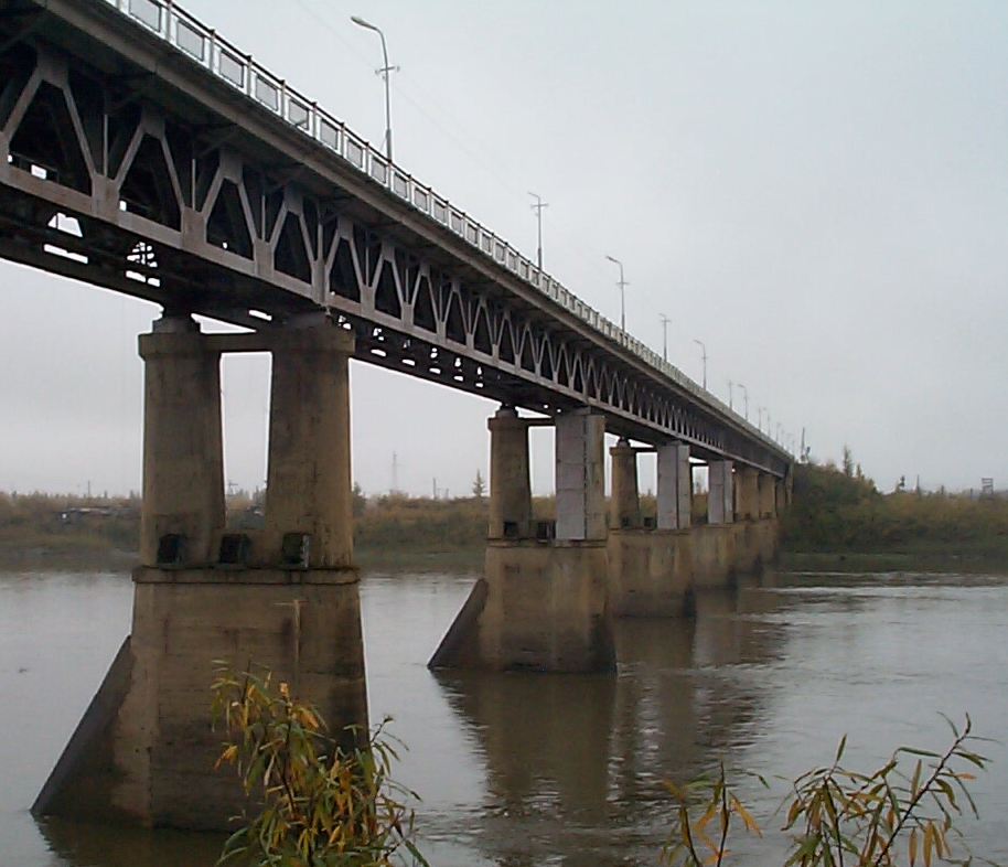
A360 Lena Highway or The Amur-Yakutsk Highway (russian: Амуро-Якутская автомобильная дорога or russian: Амуро-Якутская автомагистраль) is a federal highway in Sakha Republic (Yakutia) in Russia, connecting Yakutsk with the Trans-Siberian Railway corridor near Skovorodino. The road was built in stages between 1925 and 1964. Stretching parallel to the Amur–Yakutsk Mainline railway, the highway takes its name from the Lena River, which runs more or less north–south in this part of Siberia. The road's southern terminus is at the village of Never near Skovorodino, where it intersects the R297 highway at a cloverleaf junction. With Yakutsk situated entirely on the west bank of Lena, and the road running on the east bank, the highway terminates in Nizhny Bestyakh, a settlement of 4,000 people opposite Yakutsk. When river conditions permit, one may drive right over the frozen river to Yakutsk or take the ferry, but much of ... [...More Info...] [...Related Items...] OR: [Wikipedia] [Google] [Baidu] |
Khabarovsk
Khabarovsk ( rus, Хабaровск, a=Хабаровск.ogg, r=Habárovsk, p=xɐˈbarəfsk) is the largest city and the administrative centre of Khabarovsk Krai, Russia,Law #109 located from the China–Russia border, at the confluence of the Amur and Ussuri Rivers, about north of Vladivostok. With a 2010 population of 577,441 it is Russia's easternmost city with more than half a million inhabitants. The city was the administrative center of the Far Eastern Federal District of Russia from 2002 until December 2018, when Vladivostok took over that role. It is the largest city in the Russian Far East, having overtaken Vladivostok in 2015. It was known as ''Khabarovka'' until 1893. As is typical of the interior of the Russian Far East, Khabarovsk has an extreme climate with very strong seasonal swings resulting in strong cold winters and relatively hot and humid summers. History Earliest record Historical records indicate that a city was founded on the site in the eighth c ... [...More Info...] [...Related Items...] OR: [Wikipedia] [Google] [Baidu] |
R297 Highway (Russia)
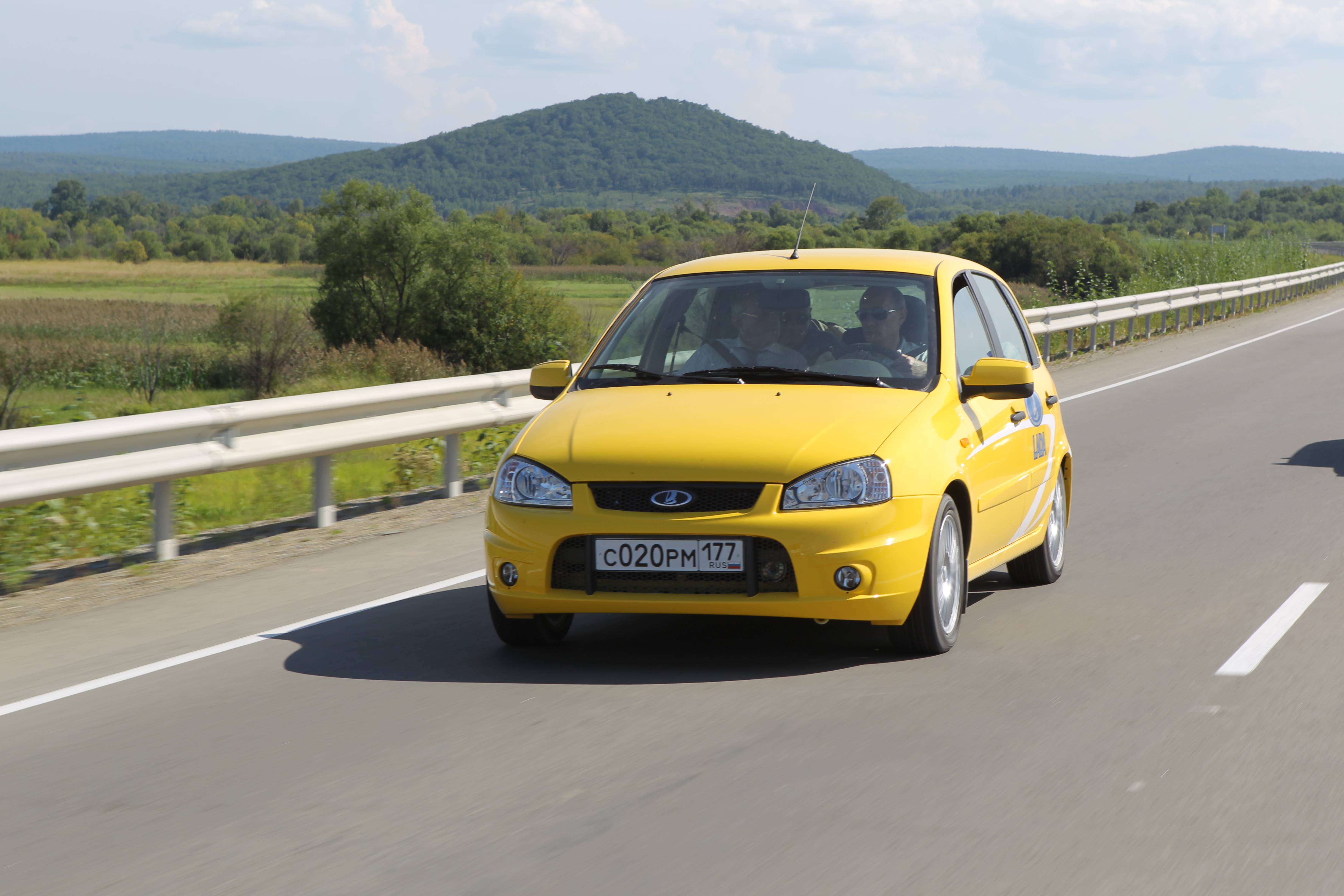
The Russian route R297 or the Amur Highway (so named after the nearby Amur River) is a federal highway in Russia, part of the Trans-Siberian Highway. With a length of , it is the longest segment, from Chita to Khabarovsk, connecting the paved roads of Siberia with those of the Russian Far East. The construction of the road united the Russian federal highways into a single system stretching from Saint Petersburg to Vladivostok. Before completion of the road, the Russian Pacific coast was connected to the rest of the country only by airlines, the Trans-Siberian Railway, and the Baikal–Amur Mainline.Vince, Austin; Bloom, Louis et al. (2006) ''Mondo Enduro''. Ripping Yarns.com. . For most of its route, the highway parallels the China–Russia border at a distance of . , it still included unpaved sections. It traverses the sparsely populated regions of Zabaykalsky Krai, Amur Oblast, Jewish Autonomous Oblast, and Khabarovsk Krai. Early history The most problematic stretch of the hig ... [...More Info...] [...Related Items...] OR: [Wikipedia] [Google] [Baidu] |
Chita, Zabaykalsky Krai
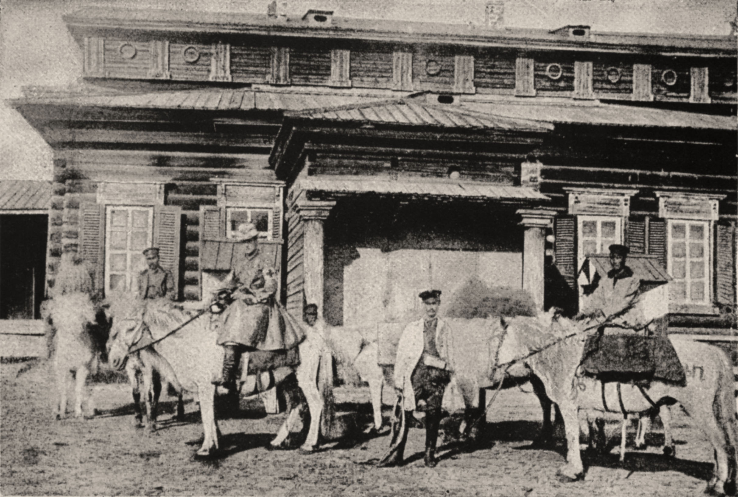
Chita ( rus, Чита, p=tɕɪˈta, , ) is a city and the administrative center of Zabaykalsky Krai, Russia, located on the Trans-Siberian Railway route, roughly east of Irkutsk. Geography Chita lies at the confluence of the Chita and Ingoda Rivers, between the Yablonoi Mountains to the west and the Chersky Range to the east. Lake Kenon is located to the west, within the city limits, and the Ivan-Arakhley Lake System is a group of lakes lying about west of Chita. Google Earth History Pyotr Beketov's Cossacks founded Chita in 1653. The name of the settlement apparently came from the local River Chita. Following the Decembrist revolt of 1825, from 1827 several of the Decembrists suffered exile to Chita. According to George Kennan, who visited the area in the 1880s, "Among the exiles in Chita were some of the brightest, most cultivated, most sympathetic men and women that we had met in Eastern Siberia." When Richard Maack visited the city in 1855, he saw a wooden t ... [...More Info...] [...Related Items...] OR: [Wikipedia] [Google] [Baidu] |
Baikal Highway
The Baikal Highway is a federal highway in Russia. Its official designation is federal highway R258 "Baikal" (russian: Федеральная автомобильная дорога Р258 «Байкал»). It part of the Trans-Siberian Highway and of the AH6 route of the Asian Highway Network. It is named after the Russian Lake Baikal. The road has 296 bridges and no tunnels. There are no toll segments on the highway. Gallery Р258 «Байка́л» 1.jpg Трасса Байкал Мандрик1.JPG Трасса "Байкал".Красноярск - Иркутск.Район Тайшета.jpg, Krasnoyarsk–Irkutsk section of R258 highway before the reconstruction near Taishet, 2007. See also *Circumbaikal Highway The Circumbaikal Highway (Around Baikal Highway, Round Baikal Highway, russian: Кругобайкальский тракт, Krugabaikalsky Trakt) was part of the Main Siberian Postal Highway (главный сибирский почтовый т ... Refe ... [...More Info...] [...Related Items...] OR: [Wikipedia] [Google] [Baidu] |
Irkutsk
Irkutsk ( ; rus, Иркутск, p=ɪrˈkutsk; Buryat and mn, Эрхүү, ''Erhüü'', ) is the largest city and administrative center of Irkutsk Oblast, Russia. With a population of 617,473 as of the 2010 Census, Irkutsk is the 25th-largest city in Russia by population, the fifth-largest in the Siberian Federal District, and one of the largest cities in Siberia. Located in the south of the eponymous oblast, the city proper lies on the Angara River, a tributary of the Yenisei, about 850 kilometres (530 mi) to the south-east of Krasnoyarsk and about 520 kilometres (320 mi) north of Ulaanbaatar. The Trans-Siberian Highway (Federal M53 and M55 Highways) and Trans-Siberian Railway connect Irkutsk to other regions in Russia and Mongolia. Many distinguished Russians were sent into exile in Irkutsk for their part in the Decembrist revolt of 1825, and the city became an exile-post for the rest of the century. Some historic wooden houses still survive. When the railw ... [...More Info...] [...Related Items...] OR: [Wikipedia] [Google] [Baidu] |
R255 Highway (Russia)
R, or r, is the eighteenth letter of the Latin alphabet, used in the modern English alphabet, the alphabets of other western European languages and others worldwide. Its name in English is ''ar'' (pronounced ), plural ''ars'', or in Ireland ''or'' . The letter is the eighth most common letter in English and the fourth-most common consonant (after , , and ). The letter is used to form the ending "-re", which is used in certain words such as ''centre'' in some varieties of English spelling, such as British English. Canadian English also uses the "-re" ending, unlike American English, where the ending is usually replaced by "-er" (''center''). This does not affect pronunciation. Name The name of the letter in Latin was (), following the pattern of other letters representing continuants, such as F, L, M, N and S. This name is preserved in French and many other languages. In Middle English, the name of the letter changed from to , following a pattern exhibited in many ... [...More Info...] [...Related Items...] OR: [Wikipedia] [Google] [Baidu] |


