|
Tolowa
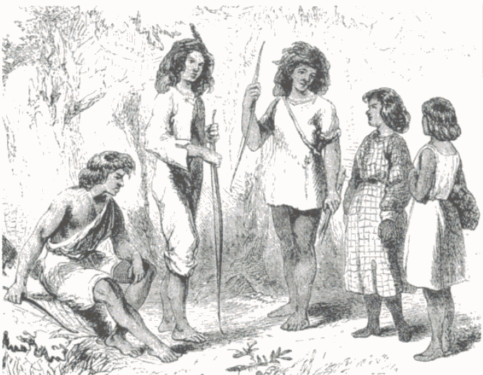
The Tolowa people or Taa-laa-wa Dee-ni’ are a Native American people of the Athabaskan-speaking ethno-linguistic group. Two rancherias (Smith River and Elk Valley) still reside in their traditional territory in northwestern California. Those removed to the Siletz Reservation in Oregon are located there. Related to current locations, Tolowa people are members of several federally recognized tribes: Tolowa Dee-ni' Nation (Tolowa, Chetco, Yurok), Elk Valley Rancheria (Tolowa and Yurok), Confederated Tribes of Siletz (more than 27 Native Tribes and Bands, speaking 10 distinct languages, including Athapascans speaking groups of SW Oregon, like Upper Umpqua, Coquille, Tututni, Chetco, Tolowa, Galice and Applegate River people), Trinidad Rancheria (Chetco, Hupa, Karuk, Tolowa, Wiyot, and Yurok), Big Lagoon Rancheria (Yurok and Tolowa), Blue Lake Rancheria (Wiyot, Yurok, and Tolowa) as well as the unrecognized Tolowa Nation. [...More Info...] [...Related Items...] OR: [Wikipedia] [Google] [Baidu] |
Tolowa Language
The Tolowa language (also called Chetco-Tolowa, or Siletz Dee-ni) is a member of the Pacific Coast subgroup of the Athabaskan language family. Together with three other closely related languages (Lower Rogue River Athabaskan, Upper Rogue River Athabaskan or Galice-Applegate and Upper Umpqua or Etnemitane) it forms a distinctive Oregon Athabaskan cluster within the subgroup. Geographic distribution At the time of first European contact Tolowa was spoken in several large and prosperous village communities along the Del Norte County coast in the far northwestern corner of California and along the southern coast of adjacent Curry County, Oregon. Today the term ''Tolowa'' (or sometimes ''Smith River'') is used primarily by those residing in California, most of whom are affiliated with Tolowa Dee-ni' Nation. Those residing in Oregon, most of whom are affiliated with the Confederated Tribes of Siletz southwest of Portland, where their ancestors were removed in the 1850s (Beckham ... [...More Info...] [...Related Items...] OR: [Wikipedia] [Google] [Baidu] |
Tolowa Dee-ni' Nation
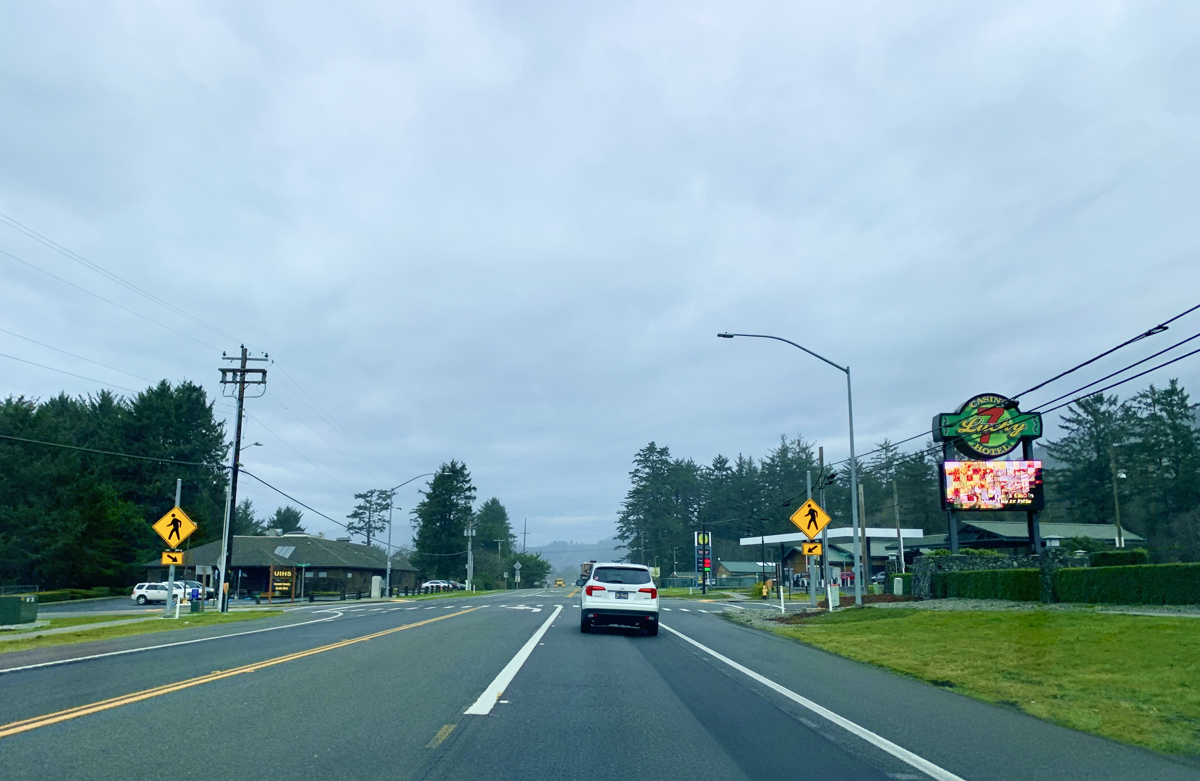
The Tolowa Dee-ni' Nation, previously known as Smith River Rancheria, is a federally recognized tribe of Tolowa people in Del Norte County, California."Smith River Rancheria." ''SDSU: California Indians and Their Reservations.'' Retrieved 4 June 2012. They are people, distantly related to northern Athabascans of eastern and western , as well as the and [...More Info...] [...Related Items...] OR: [Wikipedia] [Google] [Baidu] |
Siletz
The Siletz (pronounced SIGH-lets) were the southernmost of several divisions of the Tillamook people speaking a distinct dialect; the other dialect-divisions were: ''Salmon River'' on the river of that name, ''Nestucca'' on Little and Nestucca River and Nestucca Bay, ''Tillamook Bay'' on the bay of that name and the mouths of the Kilchis, Wilson, Trask and Tillamook rivers, and '' Nehalem'' on Nehalem River. The name "Siletz" comes from the name of the Siletz River on which they live. The origin of the name is unknown (perhaps Oregon Athabaskan? variants: Salǽˑtʃʼɪtʃʽ, Sai-lĕtc-́ĭc qûn-nĕ, and Sii-lee-ch'ish) Their eastern neighbors the Central Kalapuya tribes called them Tsä Shnádsh amím. In Chasta Costa and Euchre Creek-Tututni and Chetco-Tolowa they were known as Shii-lee-ch'ish, the Naltunne-Tututni name was Sai-lĕtc-́ĭc me-́t̟ûn-nĕ (all with reference to the Siletz River) and the Upper Coquille-Tututni name ʃɪllǽˑttʃʼɪʃmæ̽-dɜnhæ or Si ... [...More Info...] [...Related Items...] OR: [Wikipedia] [Google] [Baidu] |
Confederated Tribes Of Siletz
The Confederated Tribes of Siletz Indians in the United States is a federally recognized confederation of more than 27 Native American tribes and bands who once inhabited an extensive homeland of more than 20 million acres from northern California to southwest Washington and between the summit of the Cascades and the Pacific Ocean. After the Rogue River Wars, these tribes were removed to the Coast Indian Reservation, now known as the Siletz Reservation. The tribes spoke at least 11 distinct languages, including Tillamook, Shasta, Lower Chinook, Kalapuya, Takelma, Alsea-Yaquina, Siuslaw/Lower Umpqua, Coos, the Plateau Penutian languages Molala and Klickitat, and several related Oregon Athabaskan languages. Name The confederation takes its name from the Siletz River, which surrounds the original headquarters of the reservation. The word ''siletz'' translates to a description of something that is ''coiled'' like a rope or a snake, describing the route of the river winding ... [...More Info...] [...Related Items...] OR: [Wikipedia] [Google] [Baidu] |
Athabaskan Languages
Athabaskan (also spelled ''Athabascan'', ''Athapaskan'' or ''Athapascan'', and also known as Dene) is a large family of indigenous languages of North America, located in western North America in three areal language groups: Northern, Pacific Coast and Southern (or Apachean). Kari and Potter (2010:10) place the total territory of the 53 Athabaskan languages at . Chipewyan is spoken over the largest area of any North American native language, while Navajo is spoken by the largest number of people of any native language north of Mexico. ''Athebaskan '' is a version of a Cree name for Lake Athabasca ( crm, Āðapāskāw, script=Latn 'herethere are reeds one after another'), in Canada. Cree is one of the Algonquian languages and therefore not itself an Athabaskan language. The name was assigned by Albert Gallatin in his 1836 (written 1826) classification of the languages of North America. He acknowledged that it was his choice to use that name for the language family and its ... [...More Info...] [...Related Items...] OR: [Wikipedia] [Google] [Baidu] |
Lake Earl
Lake Earl is a lagoon on the extreme northern California coast, just south of the Oregon border. A navigable body of water, it lies partly within Tolowa Dunes State Park and partly within Lake Earl Wildlife Area in Del Norte County, California and the third-most important seabird area on the West Coast after the Farallons and the Channel Islands.McHugh, PaulLake Earl is pearl of northernmost coast 19 July 2007, San Francisco Chronicle, accessdate 3 January 2013 Lake Earl has two principal lobes separated by "the Narrows." The smaller lobe, which is also closer to the ocean and the sand bar breach site, is called Lake Tolowa or Lake Talawa by the California Department of Fish and Game. The larger lobe of the lagoon is Lake Earl. Lake Earl is mostly freshwater while Lake Tolowa has a higher salt content. As opposed to an estuary, which is typically open to the ocean and fresh water constantly, a lagoon seals up seasonally and fills with a predominance of fresh water. The lago ... [...More Info...] [...Related Items...] OR: [Wikipedia] [Google] [Baidu] |
Yontocket, California
Yontocket (Tolowa: ''Yan’-daa-k’vt'') is an unincorporated community in Del Norte County, California located west-southwest of Smith River, at an elevation of 26 feet (8 m) alongside Yontocket Slough.Michael Love and AssociatesPDF:Yontocket Slough Fish Passage and Habitat Enhancement Planning Project May 2006, California Department of Fish and Game (Contract PO310326), Smith River Alliance, Five Counties Salmonid Conservation Program and the California Coastal Conservancy, 168 pages. Yontocket Historic District A Tolowa village named ''Hawunkwut'' was located in the dunes above the Yontocket Slough. Nearby is the Yontocket Historic District, an archeological site of the Indigenous peoples of California, added to the National Register of Historic Places #73000400 in 1973, commemorating the Yontoket Massacre of Tolowa people by white settlers in 1853. The dead were thrown in the slough, and the village burnt, after which it was known as ''Burnt Ranch'' (not to be confuse ... [...More Info...] [...Related Items...] OR: [Wikipedia] [Google] [Baidu] |
Big Lagoon Rancheria
The Big Lagoon Rancheria is a federally recognized tribe of Yurok and Tolowa Indians. They are located in Humboldt County, California, and their tribal headquarters is in Arcata, California. Government The tribe was first recognized by the US federal government on 10 July 1918.Big Lagoon Rancheria Historical Background. ''The Barstow Casino & Resort.'' (retrieved 24 Feb 2009) Tribal enrollment is based on a minimum of 1/8 and lineal descent from the Plan of Distribution on the Assets of the Big Lagoon Rancheria, created January 3, 1968. [...More Info...] [...Related Items...] OR: [Wikipedia] [Google] [Baidu] |
Chetco People
The Chetco ( Chetco: chit-dee-ni, chit-dee-ne or Chit-dv-ne' ) are a tribe of Native Americans who originally lived along the lower Chetco River and Winchuck River in Curry County in the U.S. state of Oregon. The name Chetco comes from the word meaning "close to the mouth of the Chetco River" in their own language, which is part of the Athapascan languages. Although they were once one of the largest tribes on the Pacific coast of Oregon, "the last known full-blooded Chetco" living on the Chetco River (Lucy Dick) died in 1940. Many of Lucy Dick’s and Amelia Van Pelt’s (Chetco/Tututni) descendants continue to live in the Chetco region, and are members of the Confederated Tribes of Siletz Indians. the Chetco people formerly lived in 9 associated villages, but after the Rogue River Wars in 1856, were removed to the Siletz Reservation and became part of the Confederated Tribes of Siletz Indians, living in one large village there. All of the Oregon Coast Tribes were removed to and ... [...More Info...] [...Related Items...] OR: [Wikipedia] [Google] [Baidu] |
Chetco (tribe)
The Chetco ( Chetco: chit-dee-ni, chit-dee-ne or Chit-dv-ne' ) are a tribe of Native Americans who originally lived along the lower Chetco River and Winchuck River in Curry County in the U.S. state of Oregon. The name Chetco comes from the word meaning "close to the mouth of the Chetco River" in their own language, which is part of the Athapascan languages. Although they were once one of the largest tribes on the Pacific coast of Oregon, "the last known full-blooded Chetco" living on the Chetco River (Lucy Dick) died in 1940. Many of Lucy Dick’s and Amelia Van Pelt’s (Chetco/Tututni) descendants continue to live in the Chetco region, and are members of the Confederated Tribes of Siletz Indians. the Chetco people formerly lived in 9 associated villages, but after the Rogue River Wars in 1856, were removed to the Siletz Reservation and became part of the Confederated Tribes of Siletz Indians, living in one large village there. All of the Oregon Coast Tribes were removed to and ... [...More Info...] [...Related Items...] OR: [Wikipedia] [Google] [Baidu] |
Del Norte County, California
), in California , seat_type = County seat , seat = Crescent City , parts_type = Largest city , parts = Crescent City , unit_pref = US , area_total_sq_mi = 1230 , area_land_sq_mi = 1006 , area_water_sq_mi = 223 , elevation_max_footnotes = , elevation_max_ft = 6415 , elevation_min_footnotes = , elevation_min_ft = , population_as_of = April 1, 2020 , population_footnotes = , population_total = 27743 , population_density_sq_mi = 28 , timezone = Pacific Time Zone , utc_offset = −8 , timezone_DST = Pacific Daylight Time , utc_offset_DST = −7 , postal_code_type = , postal_code = , area_code_type = Area codes , area_code = 707 , blank_name_sec1 = FIPS code , blank_info_sec1 = 06-015 , blank1_name_sec1 = GNIS feature ID , blank1_info_sec1 = , website = Del Norte County (''Del Norte'', Spanish for "Of The North"; ) is a county at the far northwest corner of the U.S. state of California, along the Pacific Ocean adjacent to the Oregon b ... [...More Info...] [...Related Items...] OR: [Wikipedia] [Google] [Baidu] |
Elk Valley Rancheria
The Elk Valley Rancheria is a rancheria and federally recognized tribe of Tolowa and Yurok people. It is located in the CDP of Bertsch-Oceanview, Del Norte County, California ), in California , seat_type = County seat , seat = Crescent City , parts_type = Largest city , parts = Crescent City , unit_pref = US , area_total_sq_mi = 1230 , area_land_sq_mi = 1006 , area_water_sq_mi = 223 , elevation_max_footnote ..., just east of Crescent City. As of the 2010 Census the population was 99. Education The ranchería is served by the Del Norte County Unified School District. History Elk Valley Ranchera was originally founded in the early twentieth century with the intent to provide for displaced Native Americans. The ranchera was held in trust by the United States until the California Ranchera Termination Act in 1958. In 1983, Hardwick V. United States created the "1983 Stipulation" allowed Elk Valley Ranchera to reform their lands into a United States held trust and be ... [...More Info...] [...Related Items...] OR: [Wikipedia] [Google] [Baidu] |


