|
Theodore Roosevelt Bridge
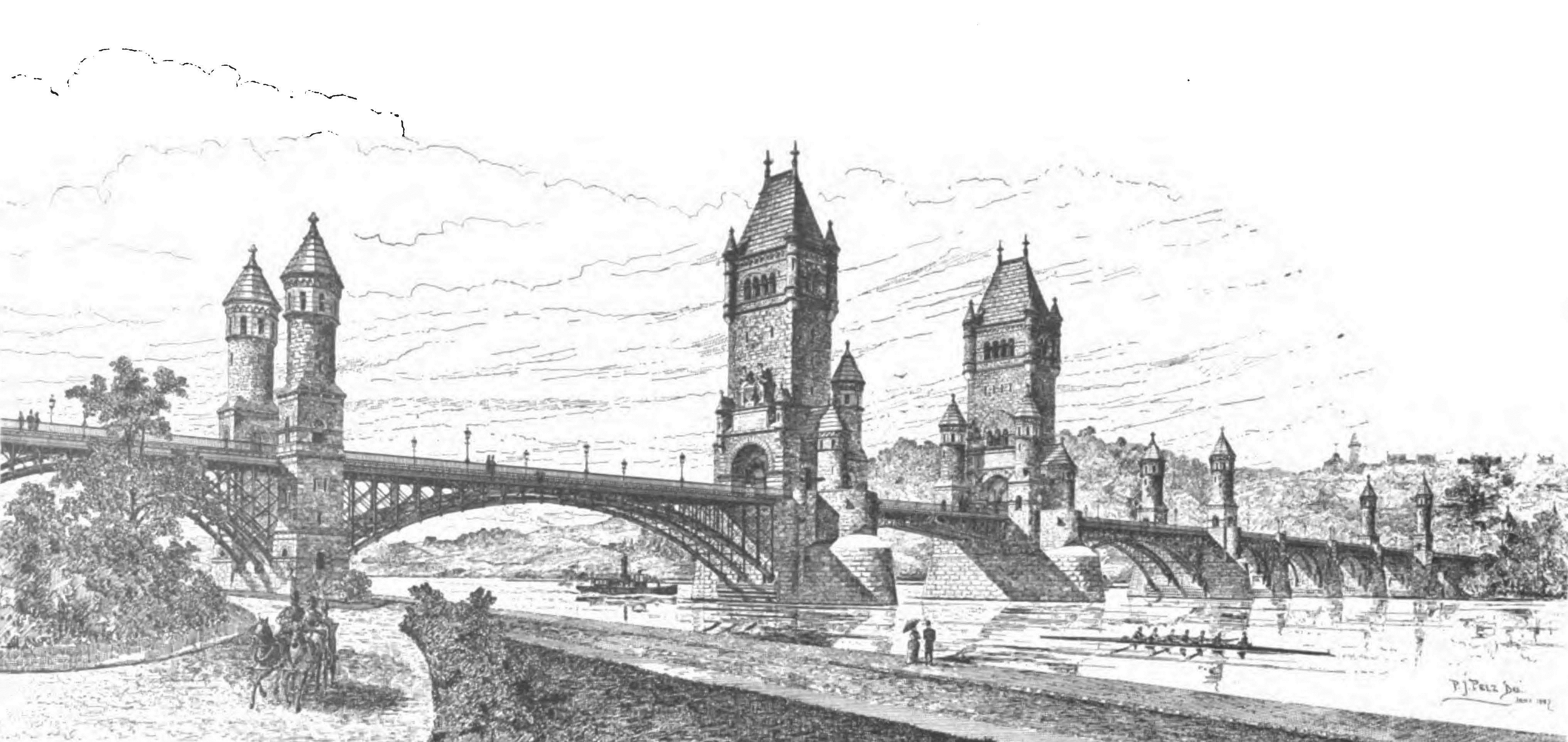
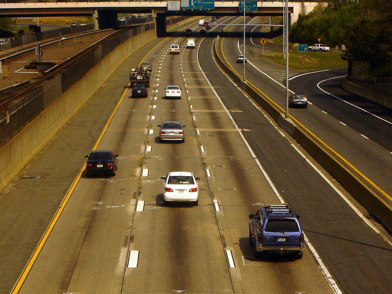
The Theodore Roosevelt Bridge (also known as the Teddy Roosevelt Bridge or the Roosevelt Bridge) is a bridge crossing the Potomac River which connects Washington, D.C., with the Commonwealth of Virginia. The bridge crosses over Theodore Roosevelt Island, and carries Interstate 66/ U.S. Route 50. The center lane in the bridge is reversible; the middle barrier is moved with a barrier transfer machine. It's operated eastbound during the morning rush hour from 6-11 am. The bridge is named in honor of Theodore Roosevelt, the 26th President of the United States. History Plans for a new bridge across the Potomac River began circulating in the early 1950s. A bridge was first proposed (across Theodore Roosevelt Island, as it happened) in 1952, although at that time the bridge was to have linked with the E Street Expressway. The Theodore Roosevelt Memorial Association (later renamed the Theodore Roosevelt Association, or TRA), which owned the island vigorously opposed any ... [...More Info...] [...Related Items...] OR: [Wikipedia] [Google] [Baidu] |
Potomac River
The Potomac River () drains the Mid-Atlantic United States, flowing from the Potomac Highlands into Chesapeake Bay. It is long,U.S. Geological Survey. National Hydrography Dataset high-resolution flowline dataThe National Map. Retrieved August 15, 2011 with a drainage area of 14,700 square miles (38,000 km2), and is the fourth-largest river along the East Coast of the United States and the 21st-largest in the United States. Over 5 million people live within its watershed. The river forms part of the borders between Maryland and Washington, D.C. on the left descending bank and between West Virginia and Virginia on the right descending bank. Except for a small portion of its headwaters in West Virginia, the North Branch Potomac River is considered part of Maryland to the low-water mark on the opposite bank. The South Branch Potomac River lies completely within the state of West Virginia except for its headwaters, which lie in Virginia. Course The Potomac River r ... [...More Info...] [...Related Items...] OR: [Wikipedia] [Google] [Baidu] |
Frank Ross McCoy
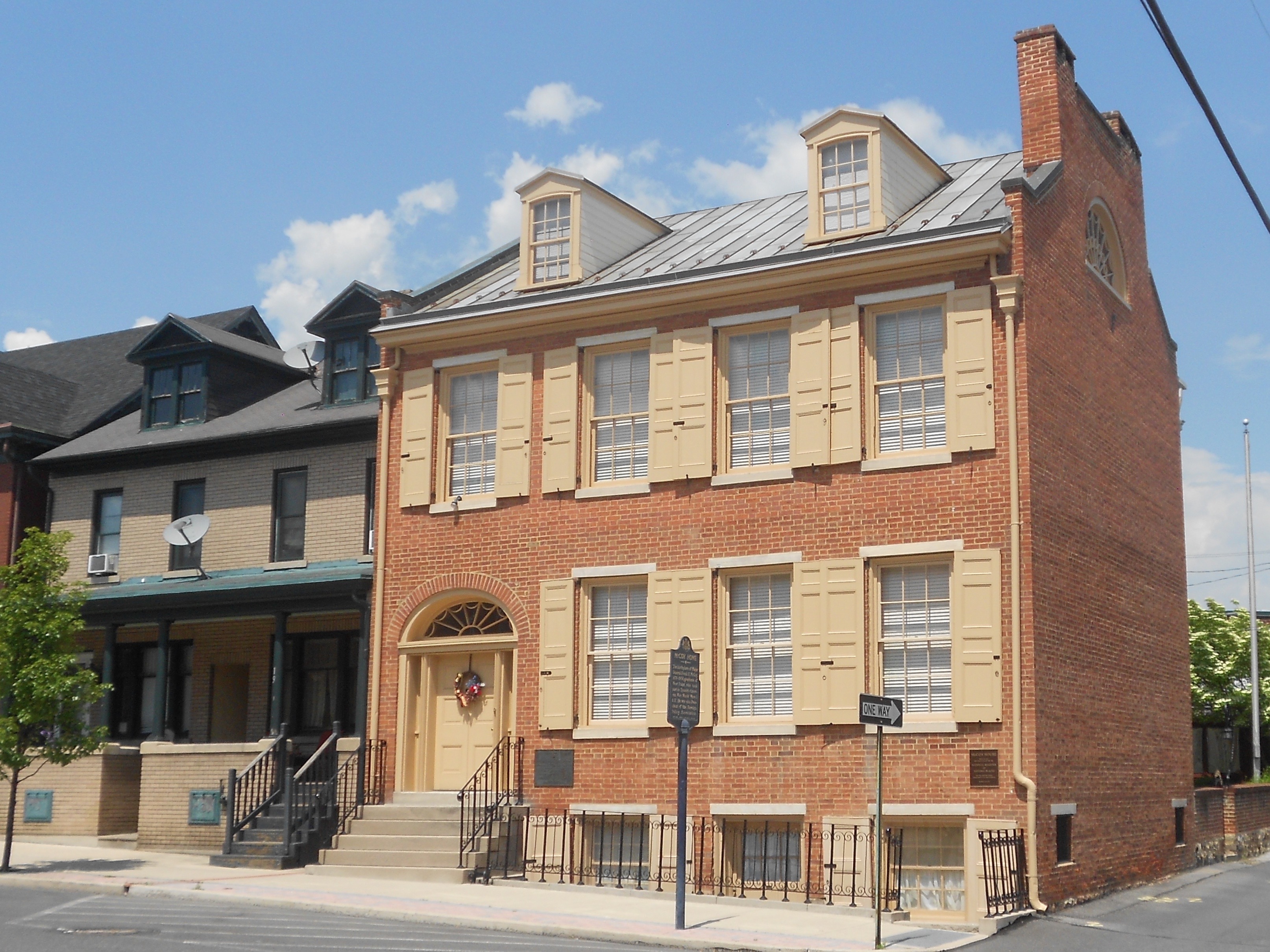
Frank Ross McCoy (October 29, 1874 – June 4, 1954) was a United States Army officer. He served in the Philippines, during World War I, and led an American relief mission to Tokyo after the 1923 Great Kantō earthquake, 1923 earthquake. He retired from military service in 1938. In his civilian career, he was president of the Foreign Policy Association and chairman of the Far Eastern Commission. Early life McCoy was born in Lewistown, Pennsylvania on October 29, 1874, the son of Margaret Eleanor (Ross) McCoy and Thomas Franklin McCoy. a veteran of the Mexican–American War and American Civil War who attained the rank of Brigadier general (United States), brigadier general by Brevet (rank), brevet. He graduated from Lewistown High School in 1891, then attended the United States Military Academy. He graduated in 1897, received his commission as a Second lieutenant (United States), second lieutenant and was assigned to the 8th Cavalry Regiment (United States), 8th Cavalry. Militar ... [...More Info...] [...Related Items...] OR: [Wikipedia] [Google] [Baidu] |
Buildings And Monuments Honoring American Presidents In The United States
A building, or edifice, is an enclosed structure with a roof and walls standing more or less permanently in one place, such as a house or factory (although there's also portable buildings). Buildings come in a variety of sizes, shapes, and functions, and have been adapted throughout history for a wide number of factors, from building materials available, to weather conditions, land prices, ground conditions, specific uses, prestige, and aesthetic reasons. To better understand the term ''building'' compare the list of nonbuilding structures. Buildings serve several societal needs – primarily as shelter from weather, security, living space, privacy, to store belongings, and to comfortably live and work. A building as a shelter represents a physical division of the human habitat (a place of comfort and safety) and the ''outside'' (a place that at times may be harsh and harmful). Ever since the first cave paintings, buildings have also become objects or canvasses of much artistic ... [...More Info...] [...Related Items...] OR: [Wikipedia] [Google] [Baidu] |
Arlington Memorial Bridge
The Arlington Memorial Bridge is a Neoclassical masonry, steel, and stone arch bridge with a central bascule (or drawbridge) that crosses the Potomac River at Washington, D.C., the capital of the United States. First proposed in 1886, the bridge went unbuilt for decades thanks to political quarrels over whether the bridge should be a memorial, and to whom or what. Traffic problems associated with the dedication of the Tomb of the Unknown Soldier in November 1921 and the desire to build a bridge in time for the bicentennial of the birth of George Washington led to its construction in 1932. Designed by the architectural firm McKim, Mead, and White, decorated with monumental statues depicting valor and sacrifice by sculptor Leo Friedlander, cast by Ferdinando Marinelli Artistic Foundry, Florence, Italy, Arlington Memorial Bridge defines the western end of the National Mall. The bridge's draw span was permanently closed in 1961 and replaced in 2018 by one that does not open. Ear ... [...More Info...] [...Related Items...] OR: [Wikipedia] [Google] [Baidu] |
US 29
U.S. Route 29 (US 29) is a north–south United States highway that runs for from Pensacola, Florida to the western suburbs of Baltimore, Maryland in the Southern United States, connecting the Florida Panhandle to the Baltimore-Washington metropolitan area. This highway takes on an overall northeast-southwest direction, from its southern terminus at US 90 and US 98 in Pensacola, Florida to its northern terminus at Maryland Route 99 in Ellicott City, Maryland. The section of US 29 between Greensboro, North Carolina, and Danville, Virginia, has been designated as Future Interstate 785 and has received "Future Interstate" signs in several locations along that route. It will become an official Interstate Highway once improvements have been completed. From Auburn, Alabama to Greensboro, North Carolina, Interstate 85 (I-85) runs parallel with US 29, which along that stretch, serves primarily as a local route. Route description , - , FL , , - , AL , , - , GA , , - ... [...More Info...] [...Related Items...] OR: [Wikipedia] [Google] [Baidu] |
Francis Scott Key Bridge (Washington)
The Francis Scott Key Bridge, more commonly known as the Key Bridge, is a six-lane reinforced concrete arch bridge conveying U.S. Route 29 (US 29) traffic across the Potomac River between the Rosslyn neighborhood of Arlington County, Virginia, and the Georgetown neighborhood of Washington, D.C. Completed in 1923, it is Washington's oldest surviving road bridge across the Potomac River. Key Bridge was added to the National Register of Historic Places in 1996. History Deterioration of the Aqueduct Bridge The Key Bridge replaced the older Aqueduct Bridge. The first Aqueduct Bridge was built in 1830 to carry the Chesapeake and Ohio Canal across the Potomac to connect with the Alexandria Canal on the Virginia shore. The bridge was converted into a roadway during the American Civil War. In 1866, the canal was restored and a new wooden roadway built over it atop trestles. The 1830 bridge was torn down in 1884, and a new structure built which opened in 1889. The Washi ... [...More Info...] [...Related Items...] OR: [Wikipedia] [Google] [Baidu] |
US 50
U.S. Route 50 or U.S. Highway 50 (US 50) is a major east–west route of the U.S. Highway system, stretching from Interstate 80 (I-80) in West Sacramento, California, to Maryland Route 528 (MD 528) in Ocean City, Maryland, on the Atlantic Ocean. Until 1972, when it was replaced by Interstate Highways west of the Sacramento area, it extended (by way of Stockton, the Altamont Pass, and the Bay Bridge) to San Francisco, near the Pacific Ocean. The Interstates were constructed later and are mostly separate from this route. It generally serves a corridor south of I-70 and I-80 and north of I-64 and I-40. The route runs through mostly rural desert and mountains in the western United States, with the section through Nevada known as " The Loneliest Road in America". In the Midwest, US 50 heads through mostly rural areas of farms as well as a few large cities including Kansas City, Missouri; St. Louis, Missouri; and Cincinnati, Ohio. The route continues into the eastern Un ... [...More Info...] [...Related Items...] OR: [Wikipedia] [Google] [Baidu] |
I-66
Interstate 66 (I-66) is an east–west Interstate Highway in the eastern United States. It runs from an interchange with I-81 near Middletown, Virginia, on its western end to an interchange with U.S. Route 29 (US 29) in Washington, D.C., at the eastern terminus. Much of the route parallels US 29 or State Route 55 (SR 55) in Virginia. I-66 has no physical or historical connection to the famous US 66, which was located in a different region of the United States. The E Street Expressway is a spur from I-66 into the Foggy Bottom neighborhood of Washington, D.C. Route description , - , VA , 74.8 , 120.54 , - , DC , 1.6 , 2.57 , - , Total , 76.4 , 123.11 Virginia Interstate 81 to Dunn Loring I-66 begins at a directional T interchange with I-81 near Middletown, Virginia. It heads east as a four-lane freeway and meets US 522/ US 340 at a partial cloverleaf interchange. The two routes head south to Front Royal and north t ... [...More Info...] [...Related Items...] OR: [Wikipedia] [Google] [Baidu] |
List Of Crossings Of The Potomac River
This is a list of bridges and other crossings of the Potomac River and its North and South branches. Within each section, crossings are listed from the source moving downstream. Potomac River This list contains only crossings of the main channel. See also Washington Channel#Crossings and Boundary Channel#Crossings. North Branch Potomac River Dams Bridges South Branch Potomac River North Fork South Branch Potomac River Listed heading downstream from source to mouth at the South Branch Potomac River. South Fork South Branch Potomac River References See also {{Portal, Transport, Engineering, Maryland, Virginia, United States * White's Ferry * White's Ford * Potomac Aqueduct Bridge * * * * * Lists of coordinates Potomac River The Potomac River () drains the Mid-Atlantic United States, flowing from the Potomac Highlands into Chesapeake Bay. It is long,U.S. Geological Survey. National Hydrography Dataset high-resolution flowline dataThe National Map. ... [...More Info...] [...Related Items...] OR: [Wikipedia] [Google] [Baidu] |
The Washington Post
''The Washington Post'' (also known as the ''Post'' and, informally, ''WaPo'') is an American daily newspaper published in Washington, D.C. It is the most widely circulated newspaper within the Washington metropolitan area and has a large national audience. Daily broadsheet editions are printed for D.C., Maryland, and Virginia. The ''Post'' was founded in 1877. In its early years, it went through several owners and struggled both financially and editorially. Financier Eugene Meyer (financier), Eugene Meyer purchased it out of bankruptcy in 1933 and revived its health and reputation, work continued by his successors Katharine Graham, Katharine and Phil Graham (Meyer's daughter and son-in-law), who bought out several rival publications. The ''Post'' 1971 printing of the Pentagon Papers helped spur opposition to the Vietnam War. Subsequently, in the best-known episode in the newspaper's history, reporters Bob Woodward and Carl Bernstein led the American press's investigation into ... [...More Info...] [...Related Items...] OR: [Wikipedia] [Google] [Baidu] |


