|
Tarija
Tarija or San Bernardo de la Frontera de Tarixa is a city in southern Bolivia. Founded in 1574, Tarija is the largest city and capital and municipality within the Tarija Department, with an airport ( Capitán Oriel Lea Plaza Airport, (TJA)) offering regular service to primary Bolivian cities, as well as a regional bus terminal with domestic and international connections. Its climate is semi-arid ( BSh) with generally mild temperatures in contrast to the harsh cold of the Altiplano (e.g., La Paz) and the year-round humid heat of the Amazon Basin (e.g., Santa Cruz de la Sierra). Tarija has a population of 234,442. History The name of ''Tarija'' is said to come from Francisco de Tarija or Tarifa. However, researched information disproves that probability. Members of the first group of Spaniards to enter the valley where present-day Tarija is situated, stated that the name of Tarija was already in use. This group did not include anyone by the name of Francisco de Tarija. Similar ... [...More Info...] [...Related Items...] OR: [Wikipedia] [Google] [Baidu] |
Tarija Department
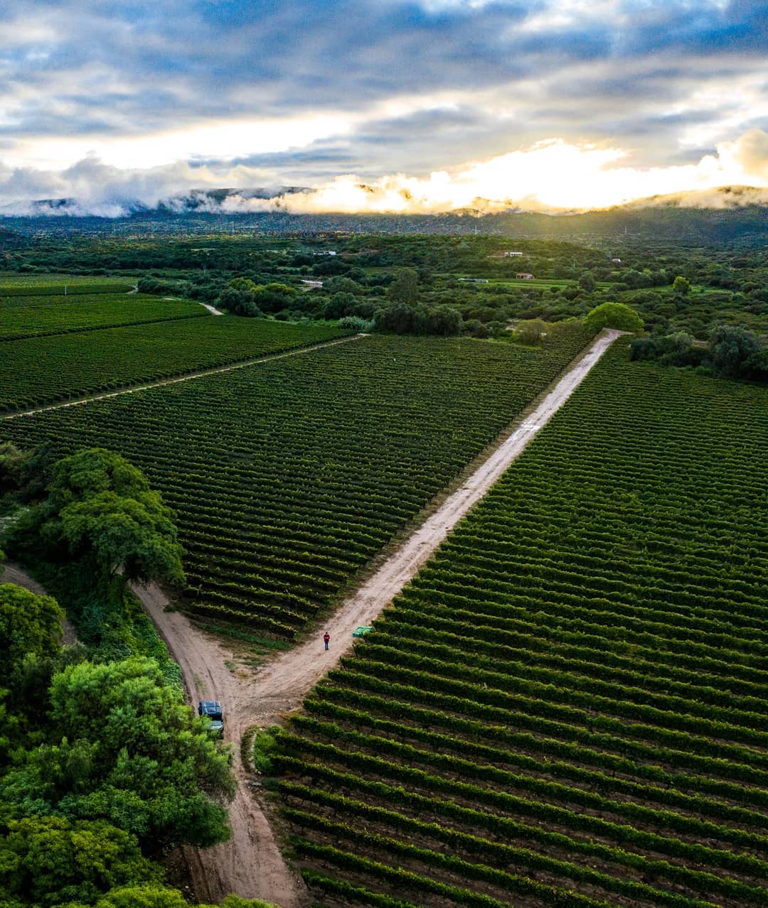
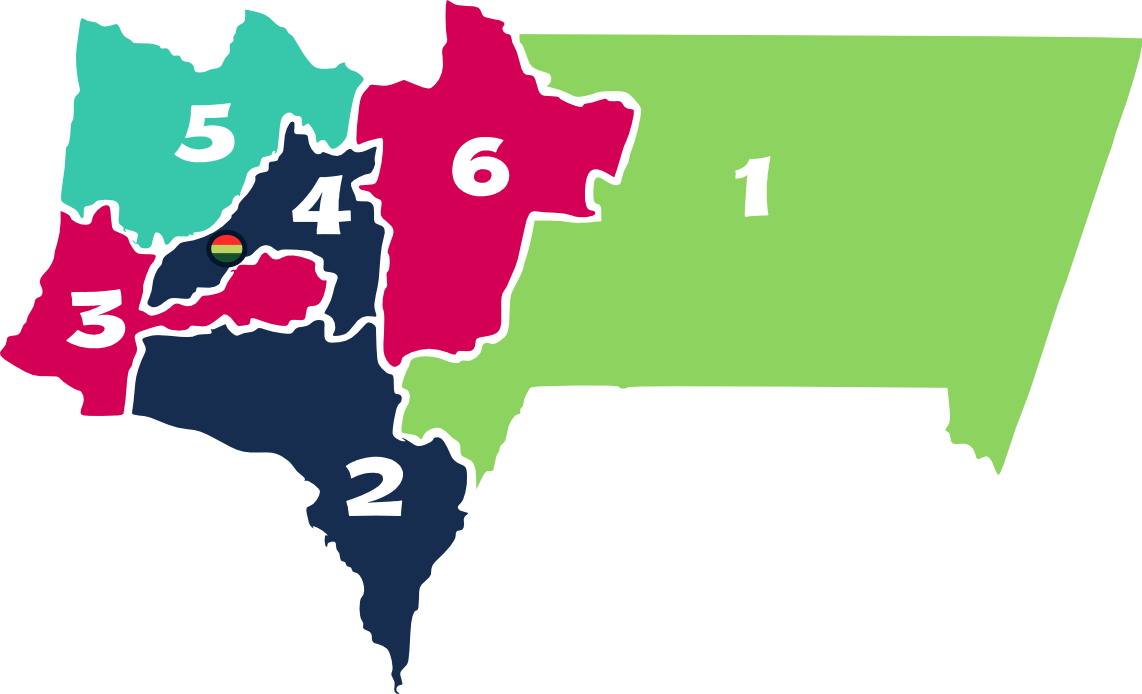
Tarija () is a department in Bolivia. It is located in south-eastern Bolivia bordering with Argentina to the south and Paraguay to the east. According to the 2012 census, it has a population of 482,196 inhabitants. It has an area of . The city of Tarija is the capital of the department. Subdivisions The department is divided into five provinces and one autonomous region: # Gran Chaco Province (autonomous region) # Aniceto Arce Province # José María Avilés Province # Cercado Province # Eustaquio Méndez Province # Burdett O'Connor Province Notable places in Tarija include: * Villamontes in the department's oil-producing eastern scrubland. Villamontes has recorded the hottest temperature ever in Bolivia, , several times, most recently on 29 October 2010. * Bermejo, a border town adjoining Aguas Blancas, Argentina * Yacuiba, a border town with Argentina. The Department of Tarija is renowned for its mild, pleasant climate, and comprises one of the country's foremost agri ... [...More Info...] [...Related Items...] OR: [Wikipedia] [Google] [Baidu] |
Capitán Oriel Lea Plaza Airport
Capitán Oriel Lea Plaza Airport is an airport serving Tarija, the capital of the Tarija Department of Bolivia. The airport is in the southeastern section of the city, which is within a basin of the Cordillera Central mountain range. There is distant mountainous terrain in all quadrants. The Tarija non-directional beacon (Ident: TJA) and VOR-DME (Ident: TAR) are located on the field. The runway length includes a displaced threshold on Runway 31. Airlines and destinations See also *Transport in Bolivia *List of airports in Bolivia References External linksTarija Airportat OpenStreetMap OpenStreetMap (OSM) is a free, open geographic database updated and maintained by a community of volunteers via open collaboration. Contributors collect data from surveys, trace from aerial imagery and also import from other freely licensed g ...Capitan Oriel Lea Plaza Airportat OurAirports *at FallingRain * * Airports in Bolivia Airports in Tarija Department Tarija ... [...More Info...] [...Related Items...] OR: [Wikipedia] [Google] [Baidu] |
Provinces Of Bolivia
A province is the second largest administrative division in Bolivia, after a department. Each department is divided into provinces. There are 112 provinces. The country's provinces are further divided into 337 municipalities which are administered by an alcalde and municipal council A municipal council is the legislative body of a municipality or local government area. Depending on the location and classification of the municipality it may be known as a city council, town council, town board, community council, rural counc .... List of provinces Beni Department Chuquisaca Department Cochabamba Department La Paz Department Oruro Department Pando Department Potosí Department Santa Cruz Department Tarija Department See also * Departments of Bolivia * Municipalities of Bolivia Sources Instituto Nacional de Estadística - Bolivia(Spanish) {{Articles on second-level administrative divisions of South American countries Su ... [...More Info...] [...Related Items...] OR: [Wikipedia] [Google] [Baidu] |
Bolivia
, image_flag = Bandera de Bolivia (Estado).svg , flag_alt = Horizontal tricolor (red, yellow, and green from top to bottom) with the coat of arms of Bolivia in the center , flag_alt2 = 7 × 7 square patchwork with the (top left to bottom right) diagonals forming colored stripes (green, blue, purple, red, orange, yellow, white, green, blue, purple, red, orange, yellow, from top right to bottom left) , other_symbol = , other_symbol_type = Dual flag: , image_coat = Escudo de Bolivia.svg , national_anthem = " National Anthem of Bolivia" , image_map = BOL orthographic.svg , map_width = 220px , alt_map = , image_map2 = , alt_map2 = , map_caption = , capital = La Paz Sucre , largest_city = , official_languages = Spanish , languages_type = Co-official languages , languages ... [...More Info...] [...Related Items...] OR: [Wikipedia] [Google] [Baidu] |
Departments Of Bolivia
Bolivia is a unitary state consisting of nine departments ( es, departamentos). Departments are the primary subdivisions of Bolivia, and possess certain rights under the Constitution of Bolivia. Each department is represented in the Plurinational Legislative Assembly—a bicameral legislature consisting of the Senate and the Chamber of Deputies. Each department is represented by four Senators, while Deputies are awarded to each department in proportion to their total population. Out of the nine departments, La Paz was originally the most populous, with 2,706,351 inhabitants as of 2012 but the far eastern department of Santa Cruz has since surpassed it by 2020; Santa Cruz also claims the title as the largest, encompassing . Pando is the least populated, with a population of 110,436. The smallest in area is Tarija, encompassing . Departments Former Departments By population Notes See also * ISO 3166-2:BO, the ISO codes for the departments of Bolivia. * Bolivian ... [...More Info...] [...Related Items...] OR: [Wikipedia] [Google] [Baidu] |
Cercado Province (Tarija)
Cercado is a province in the central parts of the Bolivian department Tarija. Location ''Cercado'' province is one of six provinces in the Tarija Department. It is located between 21° 15' and 21° 51' south and between 64° 20' and 65° 00' west. The province borders Eustaquio Méndez Province in the northwest, José María Avilés Province in the south-west, Aniceto Arce Province in the south, and Burnet O'Connor Province in the east. The province extends over 80 km from north to south, and 80 km from east to west. Population Main idiom of the province is Spanish, spoken by 99.4%, and 0.6% Guaraní. The population increased from 108,241 inhabitants (1992 census) to 153,457 (2001 census), an increase of 41.8%. - 39.4% of the population are younger than 15 years old. In the census 2012 the population increased to 205,346 inhabitants, migration mainly driven by gas extraction boom of the region. 26.0% of the population have no access to electricity, 39.4% have no ... [...More Info...] [...Related Items...] OR: [Wikipedia] [Google] [Baidu] |
Tomatas
The Tomatas are an extinct indigenous people that inhabited the valley of Tarija at the time of the Spanish founding of Tarija in 1574. The tomatas appear to have originated in the area of Copiapó in the Chilean Norte Chico as attested in the designation "tomatas copiapoes" found in early Spanish manuscripts. This group was likely uprooted from their homelands in Chile as part of the population transfers of the Inca Empire. Based on archaelogical remains, the Elqui Valley, about 240 km south of Copiapó Valley, has also been proposed as a possible origin. Conquistador Luis de Fuentes Luis is a given name. It is the Spanish form of the originally Germanic name or . Other Iberian Romance languages have comparable forms: (with an accent mark on the i) in Portuguese and Galician, in Aragonese and Catalan, while is archai ..., moved this group again yet a much shorter distance than the Incas did and resettled the Tomatas near his new city Tarija. The Tomatas appear to have ... [...More Info...] [...Related Items...] OR: [Wikipedia] [Google] [Baidu] |
Salta Province
Salta () is a province of Argentina, located in the northwest of the country. Neighboring provinces are from the east clockwise Formosa, Chaco, Santiago del Estero, Tucumán and Catamarca. It also surrounds Jujuy. To the north it borders Bolivia and Paraguay and to the west lies Chile. History Before the Spanish conquest, numerous native peoples (now called Diaguitas and Calchaquíes) lived in the valleys of what is now Salta Province; they formed many different tribes, the Quilmes and Humahuacas among them, which all shared the Cacán language. The Atacamas lived in the Puna, and the Wichís (Matacos), in the Chaco region. The first conquistador to venture into the area was Diego de Almagro in 1535; he was followed by Diego de Rojas. Hernando de Lerma founded San Felipe de Lerma in 1582, following orders of the viceroy Francisco de Toledo, Count of Oropesa; the name of the city was soon changed to "San Felipe de Salta". By 1650, the city had around five hundred inha ... [...More Info...] [...Related Items...] OR: [Wikipedia] [Google] [Baidu] |
Taxara
__NOTOC__ Tajzara (pronounced ''Taxara'' in English) is a small region and lake on the arid Altiplano of Bolivia, located in the vicinity of Cordillera de Sama Biological Reserve, Yunchará, José María Avilés Province. Tarija Department, near the town of Iscayachi. Fauna and flora While the surrounding land might appear rather nondescript, is one of the most biologically unique locations in the world. The name Taxara is also synonymous with the shallow lake that marks the center of the region. At about 14,000 feet above sea level, it is an extremely high lake. Another unusual characteristic is that it is a salt lake. Throughout the year, it bustles with many species of aquatic fowl, including three types of flamingo--the Chilean flamingo, the Andean flamingo, and the James's flamingo James's flamingo (''Phoenicoparrus jamesi''), also known as the puna flamingo, is a species of flamingo that lives at high altitudes in the Andean plateaus of Peru, Chile, Bolivia, and north ... [...More Info...] [...Related Items...] OR: [Wikipedia] [Google] [Baidu] |
Elqui River
The Elqui River starts in the west Andes and flows into the Pacific Ocean near the Chilean city of La Serena. It is a wine and pisco producing area. Vicuña, the main town of the middle valley, was the home of Nobel Laureate poet Gabriela Mistral. Indigenous cultures of the Elqui Valley About a quarter of the toponymy in Elqui Valley is of indigenous origin, overwhelmingly Quechua and Mapuche. There is scant Diaguita (Kakan) toponimy known in the area despite it being considered a homeland of that people by various authors. Quechua toponimy is related to valleys incorporation to the Inca Empire in the late 15th and early 16th-century. Some Mapuche toponimy posdates Inca rule, but other may be coeval or even precede it. Toponyms recognised as Nahua, Kunza, Diaguita, Aymara and Taino make together up less than 10% of the all placenames in Elqui Valley. It is generally accepted that incorporation of north-central Chile to the Inca Empire was through warfare which caused a se ... [...More Info...] [...Related Items...] OR: [Wikipedia] [Google] [Baidu] |
Santa Cruz De La Sierra
Santa Cruz de la Sierra (; "Holy Cross of the Mountain Range"), commonly known as Santa Cruz, is the largest city in Bolivia and the capital of the Santa Cruz department. Situated on the Pirai River in the eastern Tropical Lowlands of Bolivia, the Santa Cruz de la Sierra Metropolitan Region is the most populous urban agglomeration in Bolivia with an estimated of 2.4 million population in 2020, it is formed by a conurbation of seven Santa Cruz municipalities: Santa Cruz de la Sierra, La Guardia, Warnes, Cotoca, El Torno, Porongo, and Montero. The city was first founded in 1561 by Spanish explorer Ñuflo de Chavez about east of its current location, and was moved several times until it was finally established on the Pirai River in the late 16th century. For much of its history, Santa Cruz was mostly a small outpost town, and even after Bolivia gained its independence in 1825 there was little attention from the authorities or the population in general to settle the region. ... [...More Info...] [...Related Items...] OR: [Wikipedia] [Google] [Baidu] |
Puna De Atacama
The Puna de Atacama or Atacama Plateau article at the '''' website is an arid high , in the of northern (15%) and (85%). [...More Info...] [...Related Items...] OR: [Wikipedia] [Google] [Baidu] |


