|
Tamworth, Staffordshire
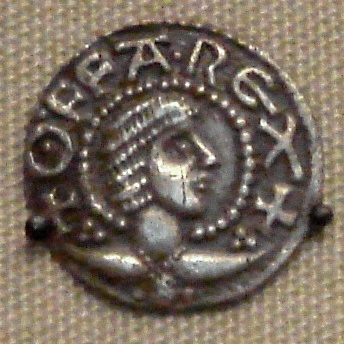
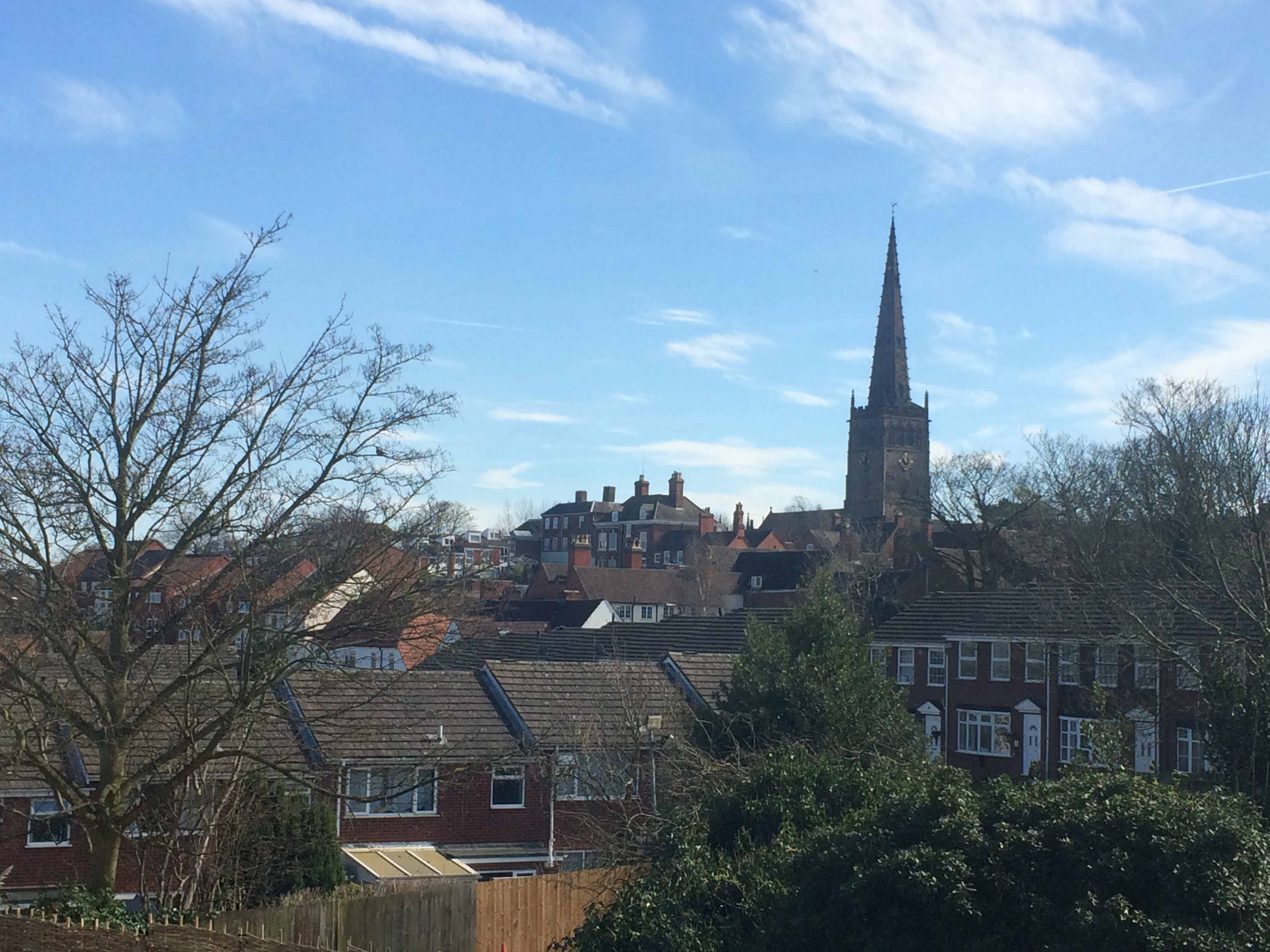
Tamworth (, ) is a market town and borough in Staffordshire, England, north-east of Birmingham. The town borders North Warwickshire to the east and north, Lichfield to the north, south-west and west. The town takes its name from the River Tame, which flows through it. The population of Tamworth borough () was . The wider urban area had a population of 81,964. Tamworth was the principal centre of royal power of the Anglo-Saxon Kingdom of Mercia during the 8th and 9th centuries. It hosts a simple but elevated 12th century castle, a well-preserved medieval church (the Church of St Editha) and a Moat House. Tamworth was historically divided between Warwickshire and Staffordshire until 1889, when the town was placed entirely in Staffordshire. The town's industries include logistics, engineering, clothing, brick, tile and paper manufacture. Until 2001 one of its factories was Reliant, which produced the Reliant Robin three-wheeler car and the Reliant Scimitar sports car. The ... [...More Info...] [...Related Items...] OR: [Wikipedia] [Google] [Baidu] |
Greenwich Mean Time
Greenwich Mean Time (GMT) is the Local mean time, mean solar time at the Royal Observatory, Greenwich, Royal Observatory in Greenwich, London, counted from midnight. At different times in the past, it has been calculated in different ways, including being calculated from noon; as a consequence, it cannot be used to specify a particular time unless a context is given. The term 'GMT' is also used as Western European Time, one of the names for the time zone UTC+00:00 and, in UK law, is the basis for civil time in the United Kingdom. English speakers often use GMT as a synonym for Coordinated Universal Time (UTC). For navigation, it is considered equivalent to UT1 (the modern form of mean solar time at 0° longitude); but this meaning can differ from UTC by up to 0.9s. The term GMT should thus not be used for purposes that require precision. Because of Earth's uneven angular velocity in its elliptical orbit and its axial tilt, noon (12:00:00) GMT is rarely the exact moment the S ... [...More Info...] [...Related Items...] OR: [Wikipedia] [Google] [Baidu] |
West Midlands (region)
The West Midlands is one of nine official regions of England at the ITL 1 statistical regions of England, first level of International Territorial Level for Statistics, statistical purposes. It covers the western half of the area traditionally known as the Midlands (England), Midlands. The region consists of the ceremonial counties of england, counties of Herefordshire, Shropshire, Staffordshire, Warwickshire, West Midlands (county), West Midlands and Worcestershire. The region has seven cities; Birmingham, Coventry, Hereford, Lichfield, Stoke-on-Trent, Wolverhampton and Worcester, England, Worcester. The West Midlands region is geographically diverse, from the urban central areas of the West Midlands conurbation to the rural counties of Herefordshire, Shropshire and Worcestershire which border Wales. The region is landlocked. However, the longest river in the UK, the River Severn, traverses the region southeastwards, flowing through the county towns of Shrewsbury and Worc ... [...More Info...] [...Related Items...] OR: [Wikipedia] [Google] [Baidu] |
River Tame, West Midlands
The River Tame is a river in the West Midlands of England, and one of the principal tributaries of the River Trent. The Tame is about long from the source at Oldbury to its confluence with the Trent near Alrewas, but the main river length of the entire catchment, i.e. the Tame and its main tributaries, is about . It forms part of the Severn-Trent flyway, a route used by migratory birds to cross Great Britain. Etymology The name derives from the Celtic language, although it may have even earlier roots. It is usually thought to mean "dark", by analogy with the Sanskrit word ''tamas'' meaning darkness. Other possibilities are "slow-moving" or "flowing", although the precise meaning is uncertain. The name is shared with the River Tame, Greater Manchester, and it is likely that the River Thame, the River Thames, the River Teme, the River Team, and the River Tamar all share the derivation. Historic significance Birmingham and the parishes in the centre and north of the modern ... [...More Info...] [...Related Items...] OR: [Wikipedia] [Google] [Baidu] |
Lichfield District
Lichfield () is a local government district in Staffordshire, England. It is administered by Lichfield District Council, based in Lichfield. The dignity and privileges of the City of Lichfield are vested in the parish council of the 14 km² Lichfield civil parish. The non-metropolitan district of Lichfield covers nearly 25 times this area and its local authority is Lichfield District Council. The district was formed on 1 April 1974, under the Local Government Act 1972, by a merger of the existing City of Lichfield with most of the Lichfield Rural District. Geography The district includes areas in two parliamentary constituencies: Lichfield and Tamworth. Settlements within the district *Alrewas, Armitage * Blithbury, Burntwood *Chase Terrace, Chasetown, Chorley, Clifton Campville, Colton, Comberford, Croxall, Curborough *Drayton Bassett * Edingale, Elford, Elmhurst * Farewell, Fazeley, Fisherwick, Fradley * Gentleshaw * Hademore, Hammerwich, Hamstall Ridware ... [...More Info...] [...Related Items...] OR: [Wikipedia] [Google] [Baidu] |
North Warwickshire
North Warwickshire is a local government district with borough status in the ceremonial county of Warwickshire, West Midlands, England. Outlying settlements in the borough include the two towns of Atherstone (where the council is based) and Coleshill. Notable villages in the borough include Dordon, Polesworth, Kingsbury, Water Orton and Shustoke. The North Warwickshire district was created on 1 April 1974 by a merger of the Atherstone Rural District and parts of the Meriden Rural District (the rest of which was merged into the West Midlands county). North Warwickshire is a mostly rural area with several small market towns and a number of former mining villages. The area historically had a large coal mining industry, but this has now all died out. The last coal mine in the area, Daw Mill at Arley, closed in 2013. The district is relatively remote from the rest of Warwickshire, as the county is almost split in two by the West Midlands Boroughs of Solihull and Coventry. The boro ... [...More Info...] [...Related Items...] OR: [Wikipedia] [Google] [Baidu] |
Birmingham
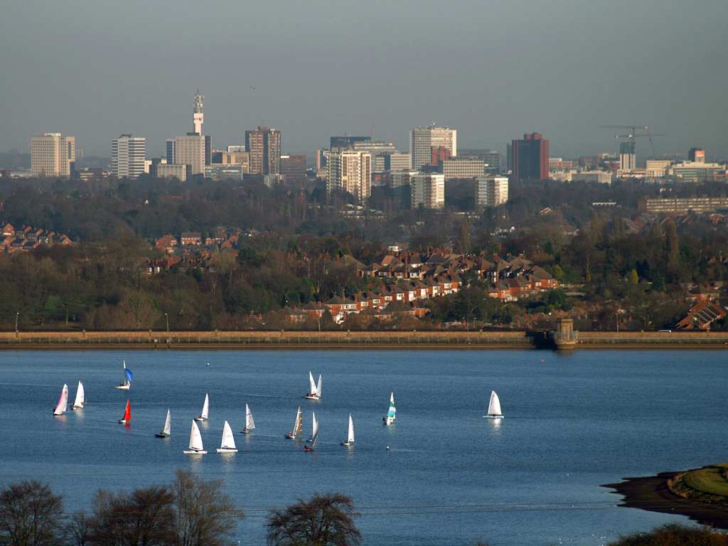
Birmingham ( ) is a city and metropolitan borough in the metropolitan county of West Midlands in England. It is the second-largest city in the United Kingdom with a population of 1.145 million in the city proper, 2.92 million in the West Midlands metropolitan county, and approximately 4.3 million in the wider metropolitan area. It is the largest UK metropolitan area outside of London. Birmingham is known as the second city of the United Kingdom. Located in the West Midlands region of England, approximately from London, Birmingham is considered to be the social, cultural, financial and commercial centre of the Midlands. Distinctively, Birmingham only has small rivers flowing through it, mainly the River Tame and its tributaries River Rea and River Cole – one of the closest main rivers is the Severn, approximately west of the city centre. Historically a market town in Warwickshire in the medieval period, Birmingham grew during the 18th century during the Midla ... [...More Info...] [...Related Items...] OR: [Wikipedia] [Google] [Baidu] |
Market Town
A market town is a settlement most common in Europe that obtained by custom or royal charter, in the Middle Ages, a market right, which allowed it to host a regular market; this distinguished it from a village or city. In Britain, small rural towns with a hinterland of villages are still commonly called market towns, as sometimes reflected in their names (e.g. Downham Market, Market Rasen, or Market Drayton). Modern markets are often in special halls, but this is a recent development, and the rise of permanent retail establishments has reduced the need for periodic markets. Historically the markets were open-air, held in what is usually called (regardless of its actual shape) the market square (or "Market Place" etc), and centred on a market cross ( mercat cross in Scotland). They were and are typically open one or two days a week. History The primary purpose of a market town is the provision of goods and services to the surrounding locality. Although market towns were kno ... [...More Info...] [...Related Items...] OR: [Wikipedia] [Google] [Baidu] |
Post Town
A post town is a required part of all postal addresses in the United Kingdom and Ireland, and a basic unit of the postal delivery system.Royal Mail, ''Address Management Guide'', (2004) Including the correct post town in the address increases the chance of a letter or parcel being delivered on time. Post towns in general originated as the location of delivery offices. , their main function is to distinguish between localities or street names in addresses not including a postcode. Organisation There are approximately 1,500 post towns which are organised by Royal Mail subject to its policy only to impose changes where it has a proven, economic and practical benefit to the organisation, covering its own cost. Each post town usually corresponds to one or more postal districts (the 'outward' part of the postcode, before the space) therefore each post town can cover an area comprising many towns, urban districts and villages. Post towns rarely correspond exactly to administrative b ... [...More Info...] [...Related Items...] OR: [Wikipedia] [Google] [Baidu] |
B Postcode Area
The B postcode area, also known as the Birmingham postcode area,Royal Mail, ''Address Management Guide'', (2004) is a group of 79 postcode districts in central England, within 15 post towns. These cover the central portion of the West Midlands (including Birmingham, West Bromwich, Sutton Coldfield, Smethwick, Solihull, Halesowen, Cradley Heath, Oldbury and Rowley Regis), plus northeast Worcestershire (including Bromsgrove and Redditch), north and west Warwickshire (including Alcester, Studley and Henley-in-Arden), and part of southeast Staffordshire (including Tamworth) and a very small part of Leicestershire. __TOC__ Coverage The approximate coverage of the postcode districts: ! B1 , BIRMINGHAM , Birmingham City Centre, Broad Street (east) , Birmingham , - ! B2 , BIRMINGHAM , Birmingham City Centre, New Street , Birmingham , - ! B3 , BIRMINGHAM , Birmingham City Centre, Newhall Street , Birmingham , - ! B4 , BIRMINGHAM , Birmingham City Centre, Corporation ... [...More Info...] [...Related Items...] OR: [Wikipedia] [Google] [Baidu] |
List Of English Districts By Population
This is a list of the 314 districts of England ordered by population, according to estimated figures for from the Office for National Statistics. The list consists of 188 non-metropolitan districts, 32 London boroughs, 36 metropolitan boroughs, 56 Unitary authorities of England, unitary authorities, and two ''sui generis'' authorities (the City of London and the Isles of Scilly). North Northamptonshire and West Northamptonshire are new unitary authorities from 1 April 2021. See also *List of two-tier counties of England by population *List of ceremonial counties of England by population *List of English districts by area *List of English districts and their ethnic composition *List of English districts by population density *List of districts in south east England by population *List of towns and cities in England by population References {{List of Settlements in the UK Demographics of England Districts of England England geography-related lists, Districts by populat ... [...More Info...] [...Related Items...] OR: [Wikipedia] [Google] [Baidu] |
List Of English Districts By Area
This is a list of districts of England ordered by area, according to Standard Area Measurements published by the Office for National Statistics The Office for National Statistics (ONS; cy, Swyddfa Ystadegau Gwladol) is the executive office of the UK Statistics Authority, a non-ministerial department which reports directly to the UK Parliament. Overview The ONS is responsible for th .... More than 1,000 km2 100–1,000 km2 Less than 100 km2 References {{List of Settlements in the UK Districts by area Districts of England Demographics of England Local government in England ... [...More Info...] [...Related Items...] OR: [Wikipedia] [Google] [Baidu] |
Christopher Pincher
Christopher John Pincher (born 24 September 1969) is a British independent politician and a Conservative Party member, who has served as Member of Parliament (MP) for Tamworth since 2010. Pincher previously served as Government Deputy Chief Whip, and Treasurer of the Household from 2018 to 2019 and from February to June 2022. Pincher was first elected as MP for Tamworth at the 2010 general election, when he gained the seat from the Labour Party. He first contested the seat in 2005. He served as a Parliamentary Private Secretary to Foreign Secretary Philip Hammond from 2015 to 2016. Pincher served as an Assistant Whip and Comptroller of the Household in 2017, before he resigned after being implicated in the 2017 Westminster sexual misconduct allegations, having been accused of sexual misconduct by Tom Blenkinsop and Alex Story. Two months later, in January 2018, he was appointed by Theresa May as Government Deputy Chief Whip and Treasurer of the Household. After Boris John ... [...More Info...] [...Related Items...] OR: [Wikipedia] [Google] [Baidu] |


