|
Taylor Island
Taylor Island, also known as Taylor's Island, is the largest in a group of seven islands located between the Eyre Peninsula mainland and Thistle Island in the mouth of Spencer Gulf, South Australia. Taylor's Island has been used principally for the grazing of sheep, while its surrounding waters are well regarded fishing grounds. History The island was named by British explorer Matthew Flinders in 1802, after the loss of William Taylor, a midshipman and master's mate to John Thistle (after whom Thistle Island is named). In 1876, a sporting party described Taylor Island as being "covered with rabbits, mutton birds, and Cape Barren geese." In 1910, a trawling expedition from Largs Bay to Venus Bay on the west coast of Eyre Peninsula was abandoned after the steamer ''Argyle'' was met with high seas in the Investigator Strait. At one stage there was of water in the well, and the ship's hand pump couldn't improve the situation. Water came within of the furnaces, and t ... [...More Info...] [...Related Items...] OR: [Wikipedia] [Google] [Baidu] |
Spencer Gulf
The Spencer Gulf is the westernmost and larger of two large inlets (the other being Gulf St Vincent) on the southern coast of Australia, in the state of South Australia, facing the Great Australian Bight. It spans from the Cape Catastrophe and Eyre Peninsula in the west to Cape Spencer and Yorke Peninsula in the east. The largest towns on the gulf are Port Lincoln, Whyalla, Port Pirie, and Port Augusta. Smaller towns on the gulf include Tumby Bay, Port Neill, Arno Bay, Cowell, Port Germein, Port Broughton, Wallaroo, Port Hughes, Port Victoria, Port Rickaby, Point Turton, and Corny Point. History The first recorded exploration of the gulf was that of Matthew Flinders in February 1802. Flinders navigated inland from the present location of Port Augusta to within of the termination of the water body. The gulf was named ''Spencer's Gulph'' by Flinders on 20 March 1802, after George John Spencer, the 2nd Earl Spencer. The Baudin expedition visited the gulf af ... [...More Info...] [...Related Items...] OR: [Wikipedia] [Google] [Baidu] |
Lewis Island (South Australia)
Lewis Island is an island located in Spencer Gulf off the east coast of Jussieu Peninsula on Eyre Peninsula in South Australia approximately south-east of Port Lincoln. It was named by Matthew Flinders in memory of George Lewis who was one of the eight crew lost from a cutter that capsized sometime after being launched from HM Sloop ''Investigator'' to search for water on 21 February 1802. Since 2004, the island has been part of the Memory Cove Wilderness Protection Area. Description Lewis Island is located approximately south-east of Port Lincoln, south of Little Island and north of Smith Island. The island has a maximum height of above sea level. Access is possible by boat on the island's north east coast during calm weather subject to tidal conditions, particularly in the channel separating it from Little Island. Formation, geology and oceanography Lewis Island was formed about 8400 years ago when sea levels rose at the start of the Holocene. The island's struct ... [...More Info...] [...Related Items...] OR: [Wikipedia] [Google] [Baidu] |
Old Man's Beard .
{{Plant common name ...
Old man's beard may refer to the following: * ''Chionanthus virginicus'', a tree, which is used like a medicinal plant and ornamental plant. * ''Clematis aristata'', an Australian climbing plant. * ''Clematis vitalba'', a climbing plant. * ''Tillandsia usneoides'', "Spanish moss" - a bromeliad. * ''Usnea'', a genus of lichen A lichen ( , ) is a hybrid colony (biology), colony of algae or cyanobacteria living symbiotically among hypha, filaments of multiple fungus species, along with yeasts and bacteria embedded in the cortex or "skin", in a mutualism (biology), m ... [...More Info...] [...Related Items...] OR: [Wikipedia] [Google] [Baidu] |
Acacia Paradoxa . Its common names include kangaroo acacia, kangaroo thorn, prickly wattle, hedge wattle and paradox acacia.
''Acacia paradoxa'' is a plant in the family Fabaceae Fabaceae () or Leguminosae,International Code of Nomen ... Description The large shrub or tree up to tall and has a similar width, it has ribbed branchlets that are often arched downward. It is dense with foliage; the leaves are actually enlarged petiole (botany), petioles known as phyllodes. They are crinkly and the new ones are covered in hairs. The erect phyllodes are asymettric and have a lanceolate shape and are around in length and wide. The bush is also full of long spines. It usually flowers betwee ...[...More Info...] [...Related Items...] OR: [Wikipedia] [Google] [Baidu] |
Myoporum Insulare
''Myoporum insulare'', commonly known as common boobialla, native juniper, is a species of flowering plant in the figwort family Scrophulariaceae and is endemic to coastal areas of Australia. It is a shrub or small tree which grows on dunes and coastal cliffs, is very salt tolerant and widely used in horticulture. Description Boobialla varies in form from a prostrate shrub to a small, erect tree growing to a height of . It has thick, smooth green leaves which are long and wide with edges that are either untoothed or toothed toward the apex. The leaves are egg-shaped and the upper and lower surfaces are the same dull green colour. White flowers with purple spots appear in the leaf axils in clusters of three to eight and are in diameter. There are five glabrous, smooth sepals and the tube formed by the petals is long with the lobes of the tube about the same length. The four stamens usually extend slightly beyond the tube. Peak flowering times are July to February in Western A ... [...More Info...] [...Related Items...] OR: [Wikipedia] [Google] [Baidu] |
Nitraria
''Nitraria'', known as the nitre bushes, is a genus of flowering plants in the family Nitrariaceae, native to Africa, Europe, Asia, Russia and Australia Australia, officially the Commonwealth of Australia, is a country comprising mainland Australia, the mainland of the Australia (continent), Australian continent, the island of Tasmania and list of islands of Australia, numerous smaller isl .... There are about 9 species including: *'' Nitraria billardierei'' DC., known as nitre bush or dillon bush *'' Nitraria retusa'' (Forssk.) Asch. *'' Nitraria schoberi'' L. *'' Nitraria sibirica'' Pall. References * * Nitrariaceae {{Sapindales-stub ... [...More Info...] [...Related Items...] OR: [Wikipedia] [Google] [Baidu] |
Eucalyptus Diversifolia
''Eucalyptus diversifolia'', commonly known as the soap mallee, coastal white mallee, South Australian coastal mallee, or coast gum is a species of Mallee (habit), mallee that is Endemism, endemic to an area along the southern coast of Australia. It has smooth bark, lance-shaped adult leaves, flower buds in groups of between seven and eleven, white to creamy yellow flowers and cup-shaped fruit. Description ''Eucalyptus diversifolia'' is a mallee that typically grows to a height of and forms a lignotuber. It has smooth, mainly cream-coloured and grey bark. Young plants and coppice regrowth have Sessility (botany), sessile, egg-shaped to elliptic leaves arranged in opposite pairs, long and wide. Adult leaves are arranged alternately, the same olive-green or bluish-green on both sides, lance-shaped, long and wide on a Petiole (botany), petiole long. The flower buds are arranged in groups of seven, nine or eleven in leaf wikt:axil, axils on an unbranched Peduncle (botany), pedun ... [...More Info...] [...Related Items...] OR: [Wikipedia] [Google] [Baidu] |
Melaleuca Lanceolata
''Melaleuca'' () is a genus of nearly 300 species of plants in the myrtle family, Myrtaceae, commonly known as paperbarks, honey-myrtles, bottlebrushes or tea-trees (although the last name is also applied to species of ''Leptospermum''). They range in size from small shrubs that rarely grow to more than high, to trees up to . Their flowers generally occur in groups, forming a "head" or "spike" resembling a brush used for cleaning bottles, containing up to 80 individual flowers. Melaleucas are an important food source for nectarivorous insects, birds, and mammals. Many are popular garden plants, either for their attractive flowers or as dense screens and a few have economic value for producing fencing and oils such as "tea tree" oil. Most melaleucas are endemic to Australia, with a few also occurring in Malesia. Seven are endemic to New Caledonia, and one is found only on Australia's Lord Howe Island. Melaleucas are found in a wide variety of habitats. Many are adapted for l ... [...More Info...] [...Related Items...] OR: [Wikipedia] [Google] [Baidu] |
Jussieu Peninsula
__NOTOC__ Jussieu Peninsula is a peninsula located at the south east end of Eyre Peninsula in South Australia. It is bounded by Proper Bay and Spalding Cove within the natural harbour known as Port Lincoln to the north, Spencer Gulf to the east and the Great Australian Bight to the south. While it was first explored and mapped by Matthew Flinders during February 1802, Flinders did not name it. In 1913, the name proposed by François Péron and Louis de Freycinet from Baudin expedition to Australia, Baudin's expedition when it visited later in 1802 was declared as the peninsula's official name by the Government of South Australia. Jussieu refers to the French botanist, Antoine Laurent de Jussieu. While parts of its surface have been cleared and used for agricultural purposes in the past, it is currently occupied by two protected areas: the Lincoln National Park and the Memory Cove Wilderness Protection Area. History A shore-based bay whaling station is believed to have ... [...More Info...] [...Related Items...] OR: [Wikipedia] [Google] [Baidu] |
Navigation Aid
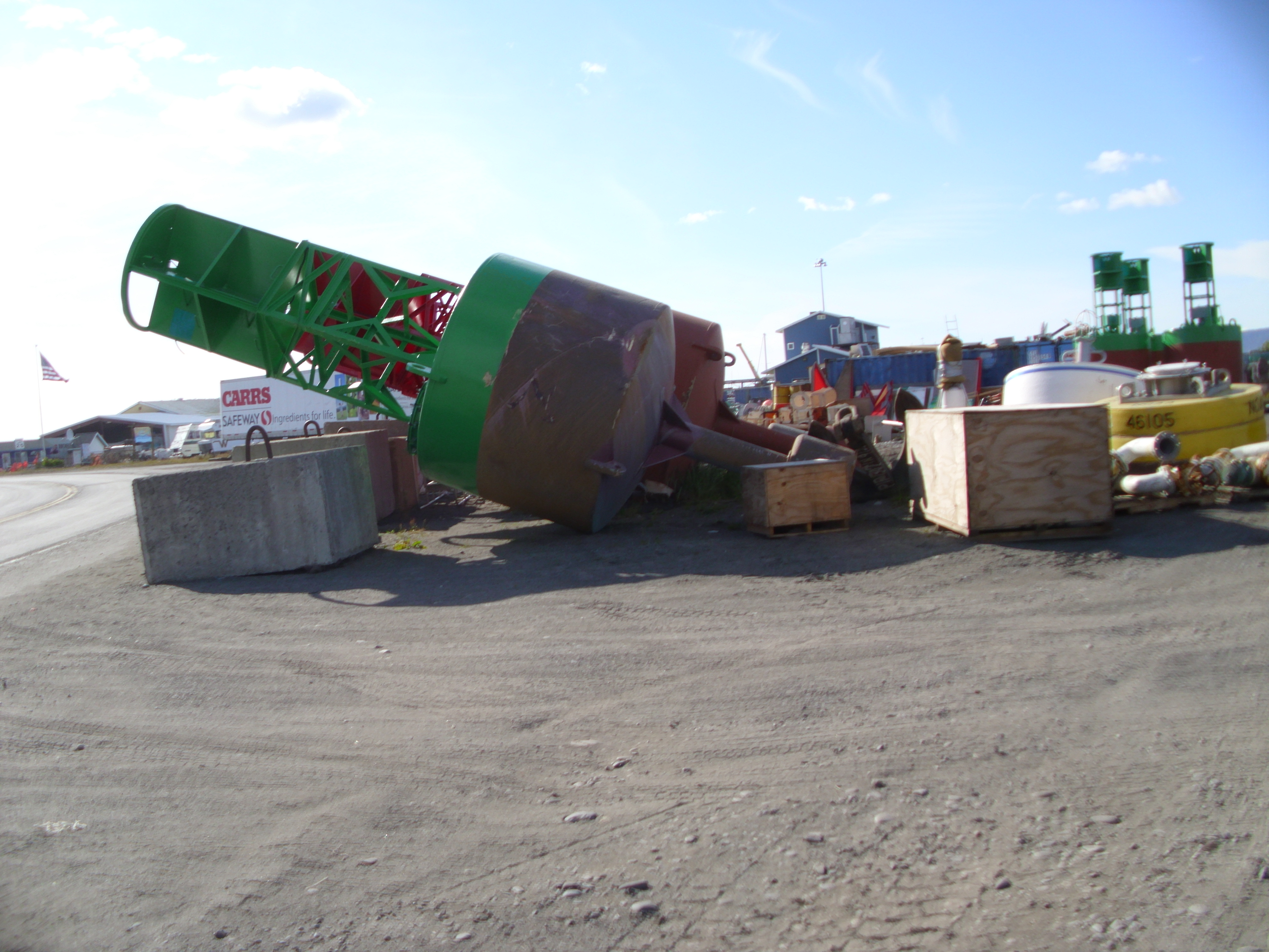
A navigational aid (NAVAID), also known as aid to navigation (ATON), is any sort of signal, markers or guidance equipment which aids the traveler in navigation, usually nautical or aviation travel. Common types of such aids include lighthouses, buoys, fog signals, and day beacons. Definition According to the glossary of terms in the United States Coast Guard Light list, an ''aid to navigation'' (ATON) is any device external to a vessel or aircraft specifically intended to assist navigators in determining their position or safe course, or to warn them of dangers or obstructions to navigation. Lateral marks Lateral marks indicate the edge of the channel. The standards are defined by the International Association of Marine Aids to Navigation and Lighthouse Authorities (IALA). Approaching harbour port a vessel leaves port hand marks to port (left) and starboard hand marks to starboard (right). Port hand marks are cylindrical, starboard marks are conical. If the mark is a ... [...More Info...] [...Related Items...] OR: [Wikipedia] [Google] [Baidu] |
Freshwater Spring
A spring is a natural exit point at which groundwater emerges from an aquifer and flows across the ground surface as surface water. It is a component of the hydrosphere, as well as a part of the water cycle. Springs have long been important for humans as a source of fresh water, especially in arid regions which have relatively little annual rainfall. Springs are driven out onto the surface by various natural forces, such as gravity and hydrostatic pressure. A spring produced by the emergence of geothermally heated groundwater is known as a hot spring. The yield of spring water varies widely from a volumetric flow rate of nearly zero to more than for the biggest springs. Formation Springs are formed when groundwater flows onto the surface. This typically happens when the water table reaches above the surface level, or if the terrain depresses sharply. Springs may also be formed as a result of karst topography, aquifers or volcanic activity. Springs have also been observe ... [...More Info...] [...Related Items...] OR: [Wikipedia] [Google] [Baidu] |


