|
State Highway 7 (Colorado)
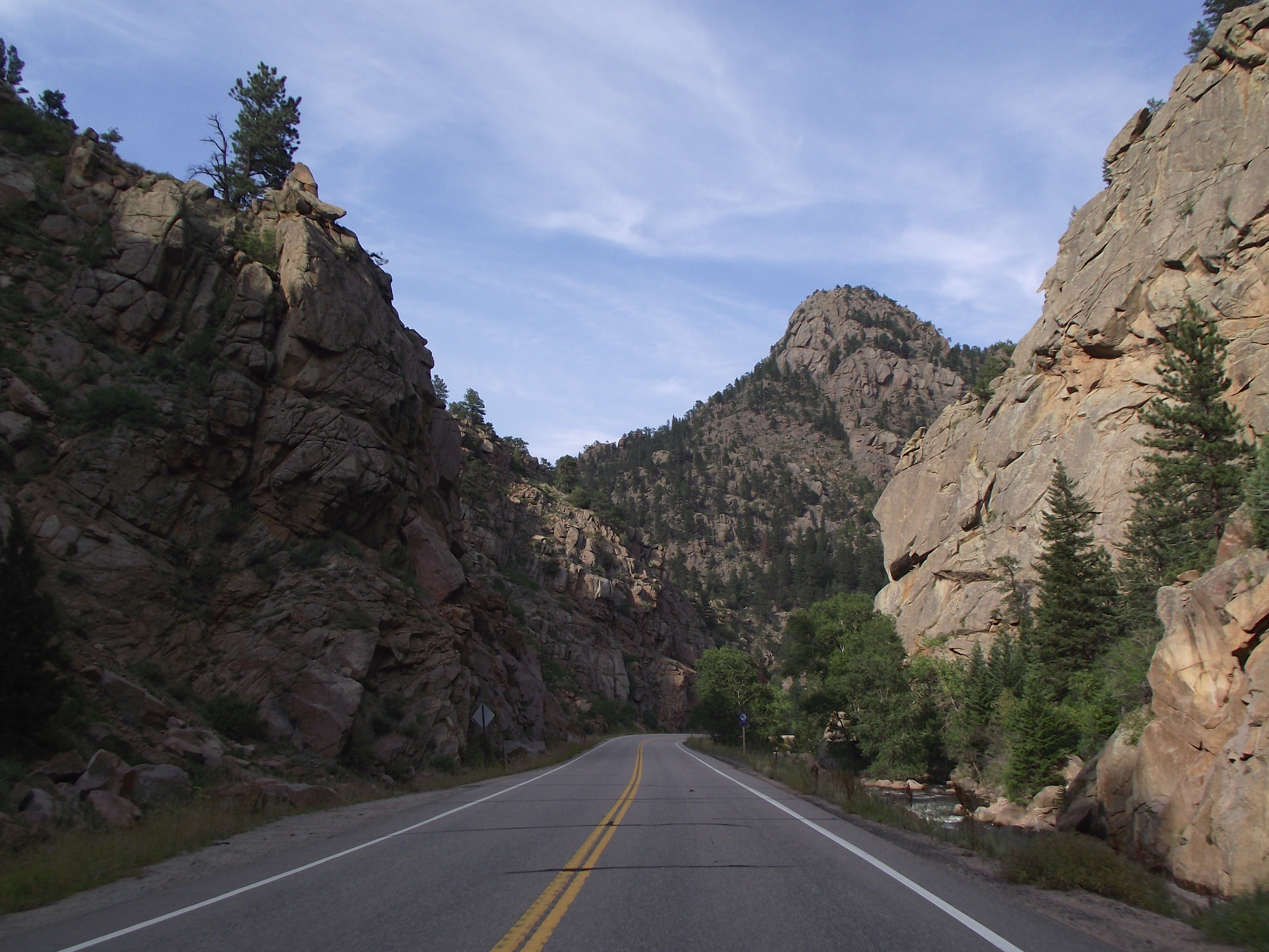
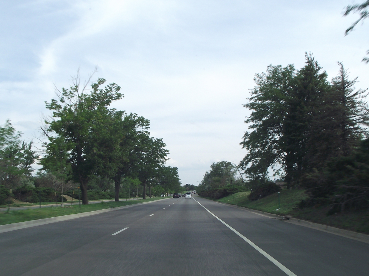
State Highway 7 (SH 7) is an state highway in Colorado, United States. It is located in the north-central portion of the state, traversing the mountains on the east of the continental divide south of Estes Park as well as portions of the Colorado Piedmont north of Denver. The northwestern segment of the highway is part of the Peak to Peak Scenic Byway and furnishes an access route to Estes Park, Colorado and Rocky Mountain National Park. In its southeast portion it skirts the northern end of the Denver Metropolitan Area, providing an access route connecting Boulder, Lafayette and Brighton with Interstate 25 (I-25) and Interstate 76 (I-76). The western terminus is at the junction of U.S. Route 36 at North St. Vrain and South St. Vrain avenues in Estes Park. The eastern terminus is at I-76 exit 25 in Brighton. The portion between Lyons and Boulder, where it is concurrent with US 36, is unsigned. The highway is two lanes along the entire route exce ... [...More Info...] [...Related Items...] OR: [Wikipedia] [Google] [Baidu] |
Estes Park, Colorado
Estes Park is a statutory town in Larimer County, Colorado, United States. The town population was 5,904 at the 2020 United States Census. Estes Park is a part of the Fort Collins, CO Metropolitan Statistical Area and the Front Range Urban Corridor. A popular summer resort and the location of the headquarters for Rocky Mountain National Park, Estes Park lies along the Big Thompson River. Landmarks include The Stanley Hotel and The Baldpate Inn. The town overlooks Lake Estes and Olympus Dam. History Early history Before Europeans came to the Estes Park valley, the Arapaho Indians lived there in the summertime and called the valley "the Circle." When three elderly Arapahoes visited Estes Park in 1914, they pointed out sites they remembered from their younger days. A photograph at the Estes Park Museum identified the touring party as Shep Husted, guide; Gun Griswold, a 73-year-old judge; Sherman Sage, a 63-year-old chief of police; Tom Crispin, 38-year-old reservation resident ... [...More Info...] [...Related Items...] OR: [Wikipedia] [Google] [Baidu] |
Denver Metropolitan Area
Denver is the central city of a conurbation region in the U.S. state of Colorado. The conurbation includes one continuous region consisting of the six central counties of Adams, Arapahoe, Broomfield, Denver, Douglas, and Jefferson. The Denver region is part of the Front Range Urban Corridor. The United States Office of Management and Budget has delineated the Denver–Aurora–Lakewood, CO Metropolitan Statistical Area consisting of ten Colorado counties: the City and County of Denver, Arapahoe County, Jefferson County, Adams County, Douglas County, the City and County of Broomfield, Elbert County, Park County, Clear Creek County, and Gilpin County. The population, as of the 2020 Census, is 2,963,821, an increase of 16.5% since 2010. The Office of Management and Budget also delineated the more extensive 12-county Denver–Aurora, CO Combined Statistical Area comprising the Denver-Aurora-Lakewood Metropolitan Statistical Area, the Boulder, CO Metropolitan Statist ... [...More Info...] [...Related Items...] OR: [Wikipedia] [Google] [Baidu] |
Cheyenne, Wyoming
Cheyenne ( or ) is the capital and most populous city of the U.S. state of Wyoming, as well as the county seat of Laramie County, Wyoming, Laramie County, with 65,132 residents, per the 2020 US Census. It is the principal city of the Cheyenne metropolitan area, Cheyenne metropolitan statistical area which encompasses all of Laramie County and had 100,512 residents as of the 2020 census. Local residents named the town for the Cheyenne Native Americans in the United States, Native American people in 1867 when it was founded in the Dakota Territory. Cheyenne is the northern terminus of the extensive Southern Rocky Mountain Front, which extends southward to Albuquerque, New Mexico, Albuquerque, New Mexico, and includes the fast-growing Front Range Urban Corridor. Cheyenne is situated on Crow Creek (South Platte River), Crow Creek and Dry Creek. History At a celebration on July 4, 1867, Grenville M. Dodge of the Union Pacific Railroad announced the selection of a townsite fo ... [...More Info...] [...Related Items...] OR: [Wikipedia] [Google] [Baidu] |
Colorado State Highway 157
State Highway 157 (SH 157) is a state highway in Boulder, Colorado. SH 157 is also known as Foothills Parkway in Boulder's city street naming system. SH 157's southern terminus is at U.S. Route 36 (US 36) in Boulder, and the northern terminus is at SH 119 in Boulder. Route description The road begins in the south at a junction with US 36, the Denver-Boulder Turnpike. It travels northward through the city of Boulder, crossing SH 7 (Arapahoe Avenue) before connecting to its northern terminus at SH 119. Between fall 2019 and fall 2020, the City of Boulder replaced the outdated and deteriorating bicycle and pedestrian overpass just south of Colorado Ave. with an ADA-compliant underpass. Major intersections References External links {{authority control 157 Year 157 ( CLVII) was a common year starting on Friday (link will display the full calendar) of the Julian calendar. At the time, it was known as the Year of the Consulship of Civica and ... [...More Info...] [...Related Items...] OR: [Wikipedia] [Google] [Baidu] |
Three-way Junction
A three-way junction (or three-way intersection) is a type of intersection (road), road intersection with three arms. A Y junction (or Y intersection) generally has three arms of equal size coming at an acute angle, acute or obtuse angle to each other; while a T junction (or T intersection) also has three arms, but one of the arms is generally a smaller road joining a larger road at right angle. Right-of-way Some three-way junctions are controlled by traffic lights, while others rely upon drivers to obey traffic#Priority (right of way), right-of-way rules, which vary from place to place: *In some jurisdictions, chiefly in European countries except the U.K. and Ireland, a driver is always obliged to yield right-of-way for every vehicle oncoming from the right at a junction without traffic signals and priority signs (including T junctions). *In other jurisdictions (mainly in the U.K., USA, Australia and Taiwan), a driver turning in a three-way junction must yield for every vehicle ... [...More Info...] [...Related Items...] OR: [Wikipedia] [Google] [Baidu] |
Lyons Intersection
Lyon,, ; Occitan: ''Lion'', hist. ''Lionés'' also spelled in English as Lyons, is the third-largest city and second-largest metropolitan area of France. It is located at the confluence of the rivers Rhône and Saône, to the northwest of the French Alps, southeast of Paris, north of Marseille, southwest of Geneva, northeast of Saint-Étienne. The City of Lyon proper had a population of 522,969 in 2019 within its small municipal territory of , but together with its suburbs and exurbs the Lyon metropolitan area had a population of 2,280,845 that same year, the second most populated in France. Lyon and 58 suburban municipalities have formed since 2015 the Metropolis of Lyon, a directly elected metropolitan authority now in charge of most urban issues, with a population of 1,411,571 in 2019. Lyon is the prefecture of the Auvergne-Rhône-Alpes region and seat of the Departmental Council of Rhône (whose jurisdiction, however, no longer extends over the Metropolis of Lyon ... [...More Info...] [...Related Items...] OR: [Wikipedia] [Google] [Baidu] |
Baseline Road (Colorado)
Baseline Road is a major east-west street in Boulder, Colorado that extends east of the city through parts of four counties. The western terminus of Baseline Road is at Flagstaff Mountain in the City of Boulder Mountain Parks. The eastern terminus is at 16800 Watkins Road, about east of Lochbuie on the boundary between Adams and Weld Counties. The total length of Baseline Road is approximately , all of which is within the Denver-Aurora-Boulder Combined Statistical Area in Colorado. Baseline Road runs almost exactly along the 40th line of latitude. Origin of the name On May 30, 1854, the Kansas-Nebraska Act created the Kansas Territory and the Nebraska Territory, divided by the 40th parallel north. The Pike's Peak Gold Rush of 1858-1861 lured thousands of gold seekers into the goldfields of the northwestern Kansas Territory and the southwestern Nebraska Territory. On February 28, 1861, the western portion of the Kansas Territory and the southwestern portion of the Nebras ... [...More Info...] [...Related Items...] OR: [Wikipedia] [Google] [Baidu] |
Colorado State Highway 119
State Highway 119 (SH 119) is a state highway in north central Colorado. It extends in a southwest to northeast direction, from a junction with U.S. Route 6 (US 6) in Clear Creek Canyon between Golden and Idaho Springs to a junction with Interstate 25 (I-25) east of Longmont. The southwest portion of the road is a scenic mountain drive providing dramatic vistas of the Front Range, while the northeast portion is a busy interurban thoroughfare. The city of Boulder separates these two vastly different sections of SH 119. Route description Highway 119 begins at a signalized T intersection with U.S. Highway 6 in Clear Creek Canyon between Golden and Idaho Springs. It then heads north, alongside North Clear Creek, to the gambling town of Blackhawk; this section of the road carries heavy traffic to the casinos of Blackhawk and Central City and experiences many accidents. It continues north from Blackhawk as the Peak to Peak Scenic and Historic Byway, skirting the western ... [...More Info...] [...Related Items...] OR: [Wikipedia] [Google] [Baidu] |
Colorado State Highway 72
State Highway 72 (SH 72) is a state highway passing through the foothills and the eastern edge of the Front Range. Its southern terminus is at Interstate 70 (I-70) in Wheat Ridge, and its northern terminus is at SH 7 east of Allenspark. Route description The route is a mainly rural, scenic, mountainous highway; not having many junctions. It begins at I-70 (Exit 266) in Wheat Ridge as Ward Road. It continues north through the western parts of Arvada where it becomes Coal Creek Canyon Rd. The highway continues west-north-west through Coal Creek Canyon and aptly named Wondervu, across the Union Pacific Railroad tracks at Pinecliffe, eventually joining the Peak to Peak Scenic Byway northbound. For three miles along the ''Byway'' it coincides with SH 119. The two routes diverge at Nederland. From Nederland, SH 72 continues north along the ''Byway'' past Ward to its terminus with SH 7 east of Allenspark. History The route was established in the 1920s, when it began at ... [...More Info...] [...Related Items...] OR: [Wikipedia] [Google] [Baidu] |
Longs Peak
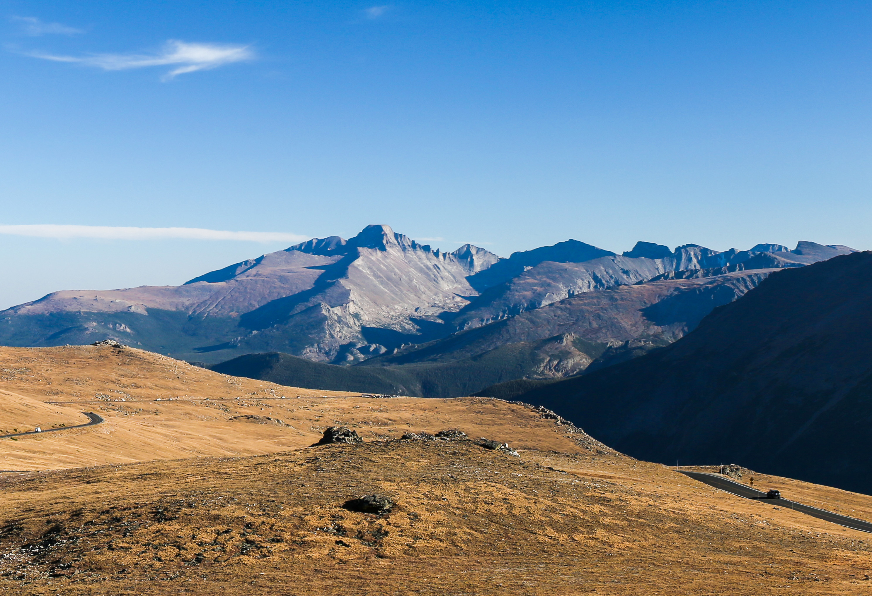
Longs Peak (Arapaho: ) is a high and prominent mountain in the northern Front Range of the Rocky Mountains of North America. The fourteener is located in the Rocky Mountain National Park Wilderness, southwest by south ( bearing 209°) of the Town of Estes Park, Colorado, United States. Longs Peak is the northernmost fourteener in the Rocky Mountains of Colorado and the highest point in Boulder County and Rocky Mountain National Park. The mountain was named in honor of explorer Stephen Harriman Long and is featured on the Colorado state quarter.The elevation of Longs Peak includes an adjustment of +1.652 m (+5.42 ft) from NGVD 29 to NAVD 88. Description Longs Peak can be prominently seen from Longmont, Colorado, as well as from most of the northern Front Range Urban Corridor. It is one of the most prominent mountains in Colorado, rising above the western edge of the Great Plains. The peak is named for Major Stephen Harriman Long, who is said t ... [...More Info...] [...Related Items...] OR: [Wikipedia] [Google] [Baidu] |


.jpg)

